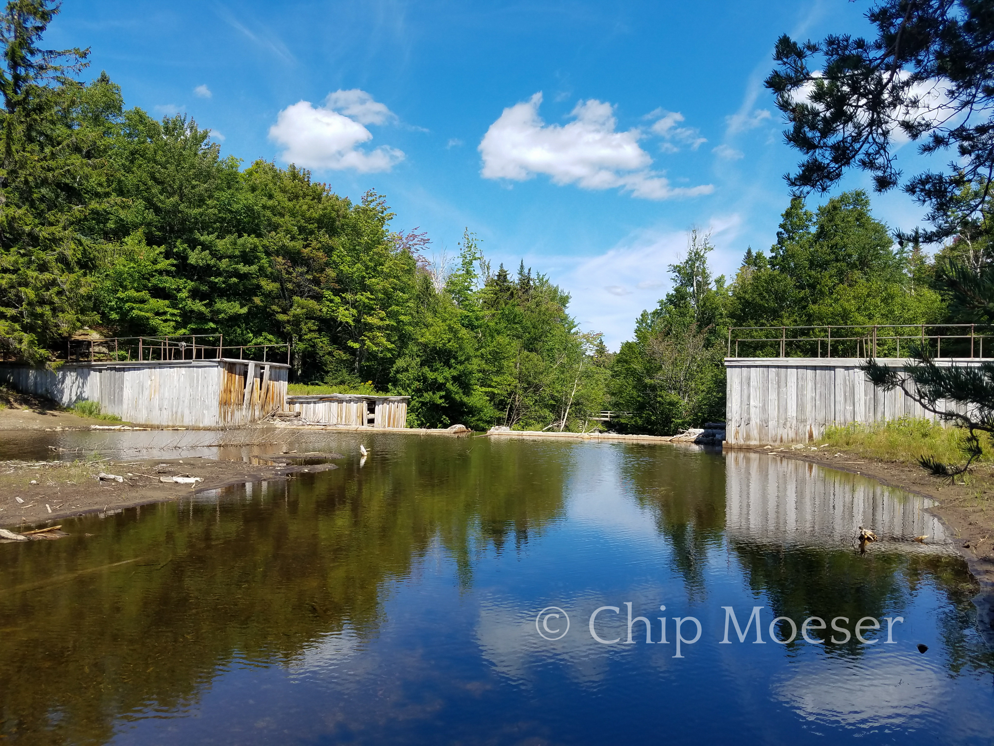
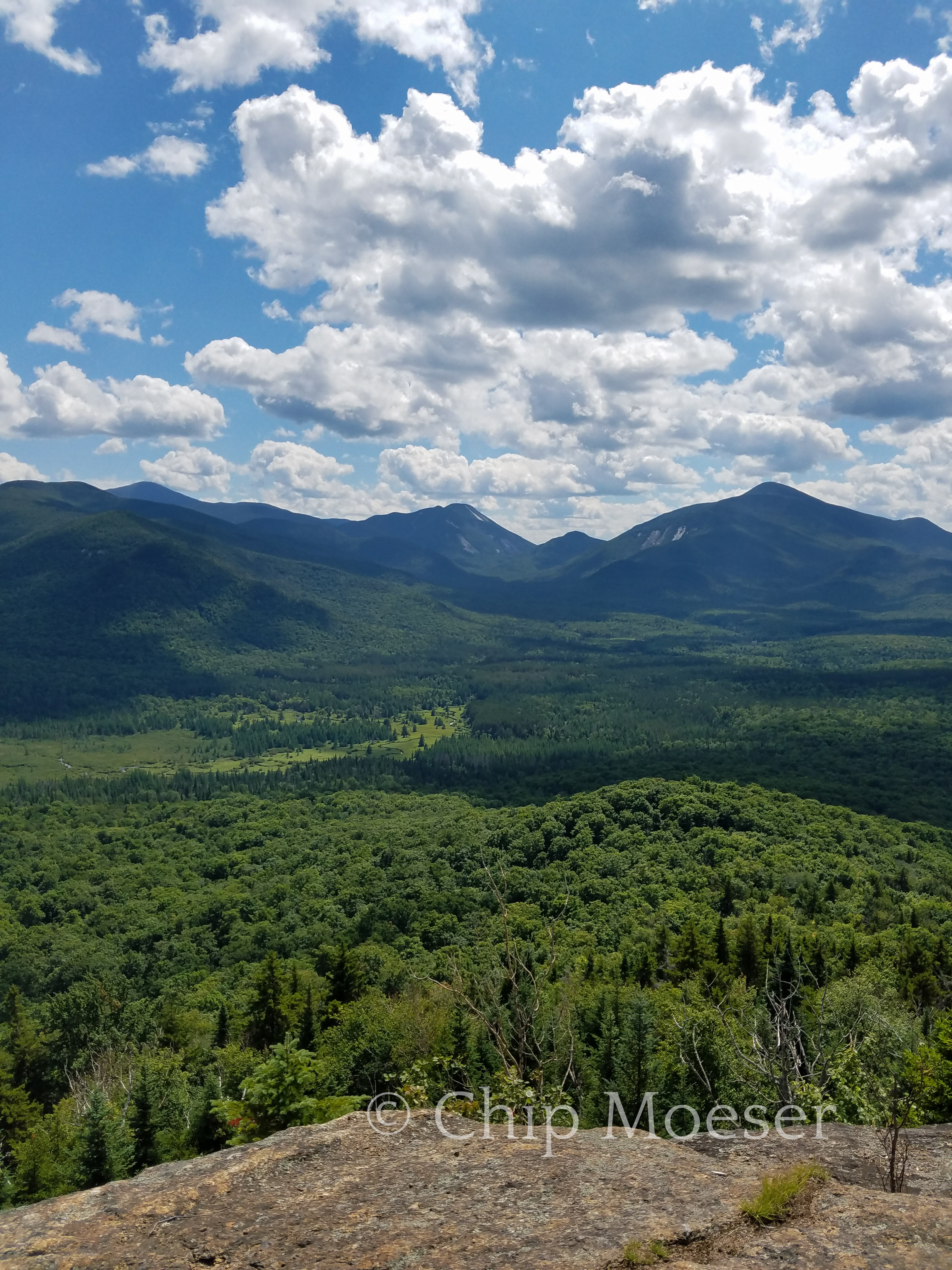
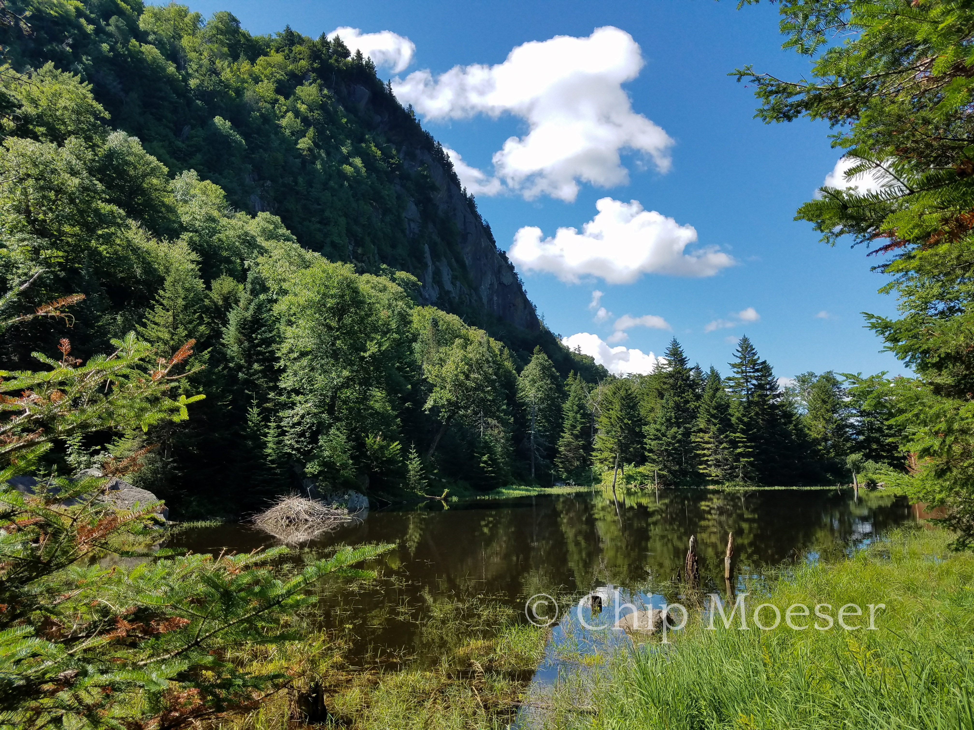
Today I got to pass through the famed Adirondack High Peaks. After leaving the Adirondack Loj I made the 1.5 mile detour back to the base of Mt. Van Hoevenberg and headed into the High Peaks via the Marcy Damm truck trail. Marcy Damm is another iconic spot in the High Peaks. From there you can see several of the better known peaks from the valley floor before ascending up into them.
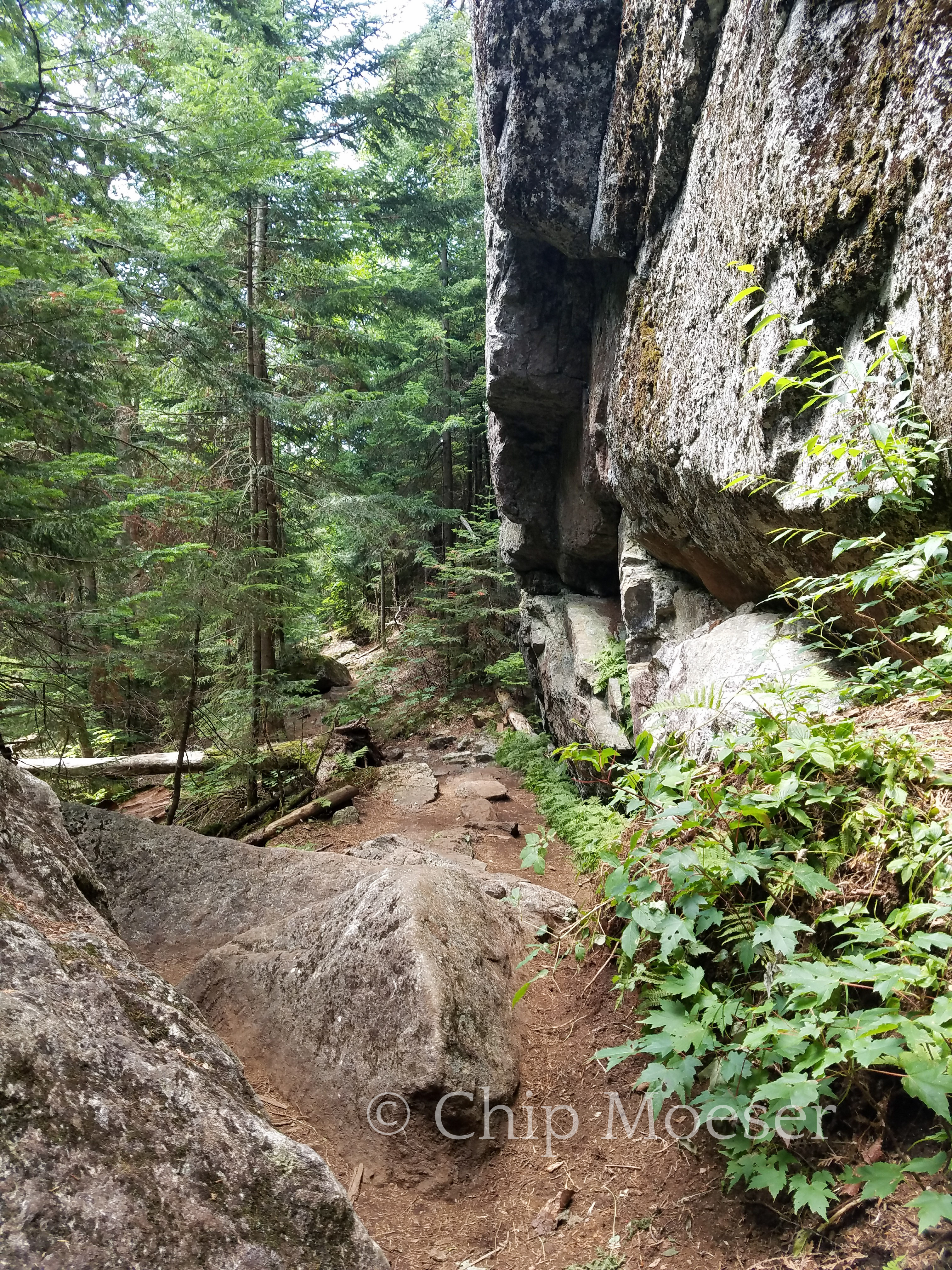
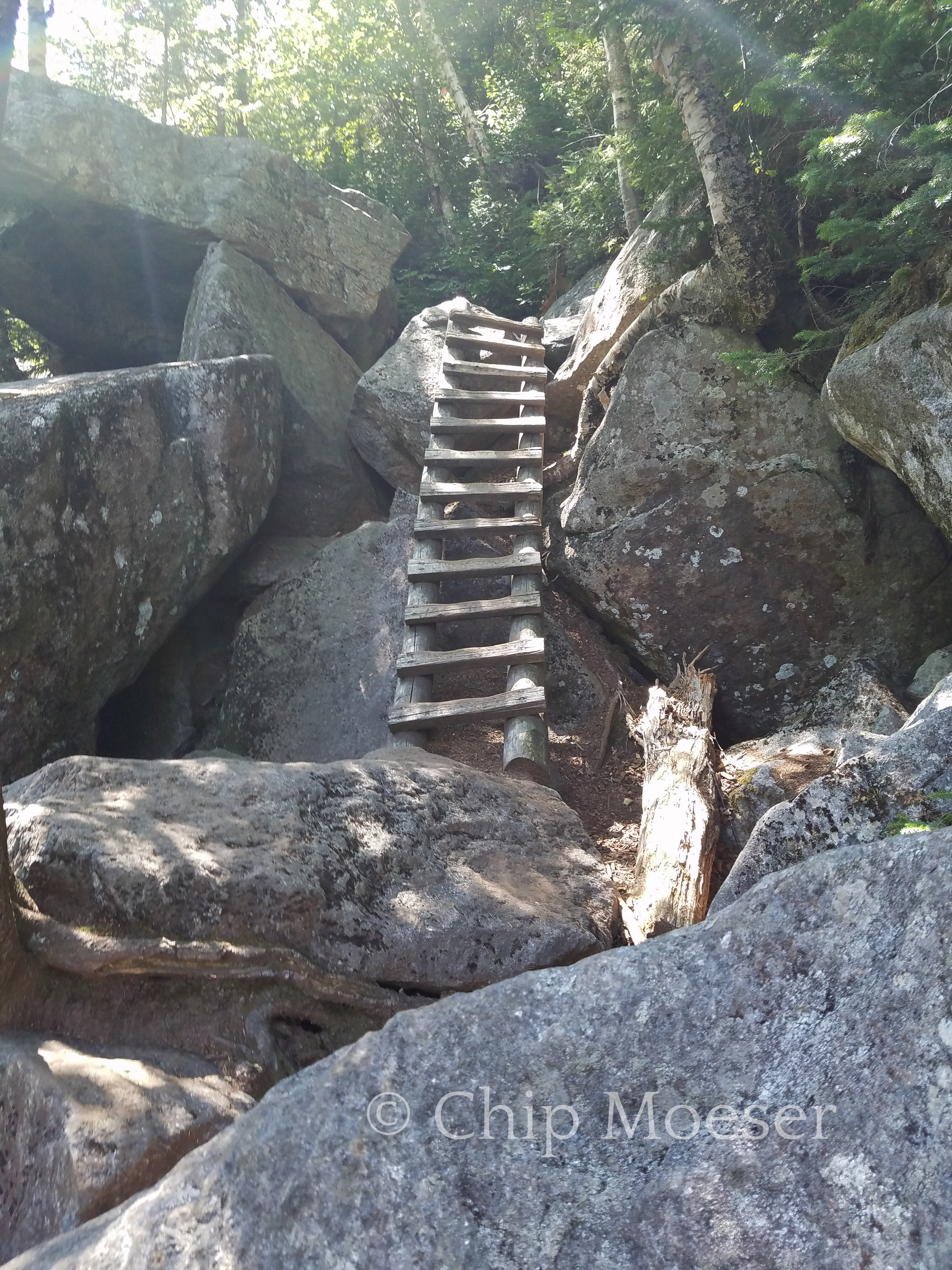
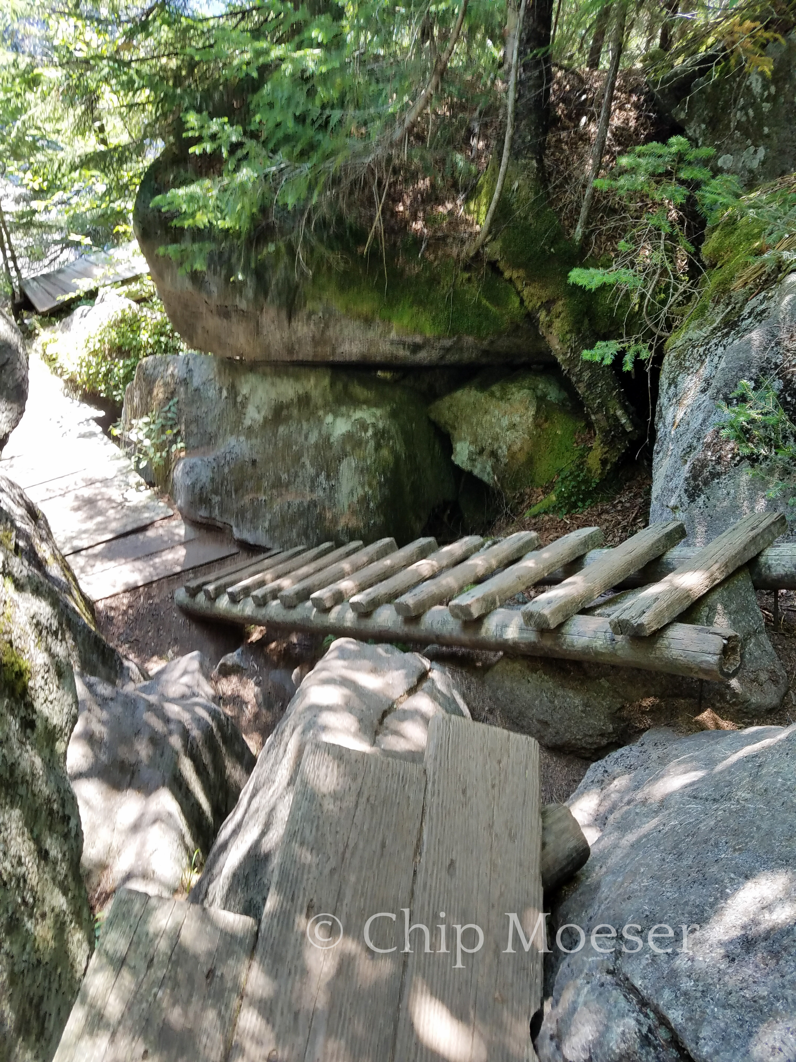
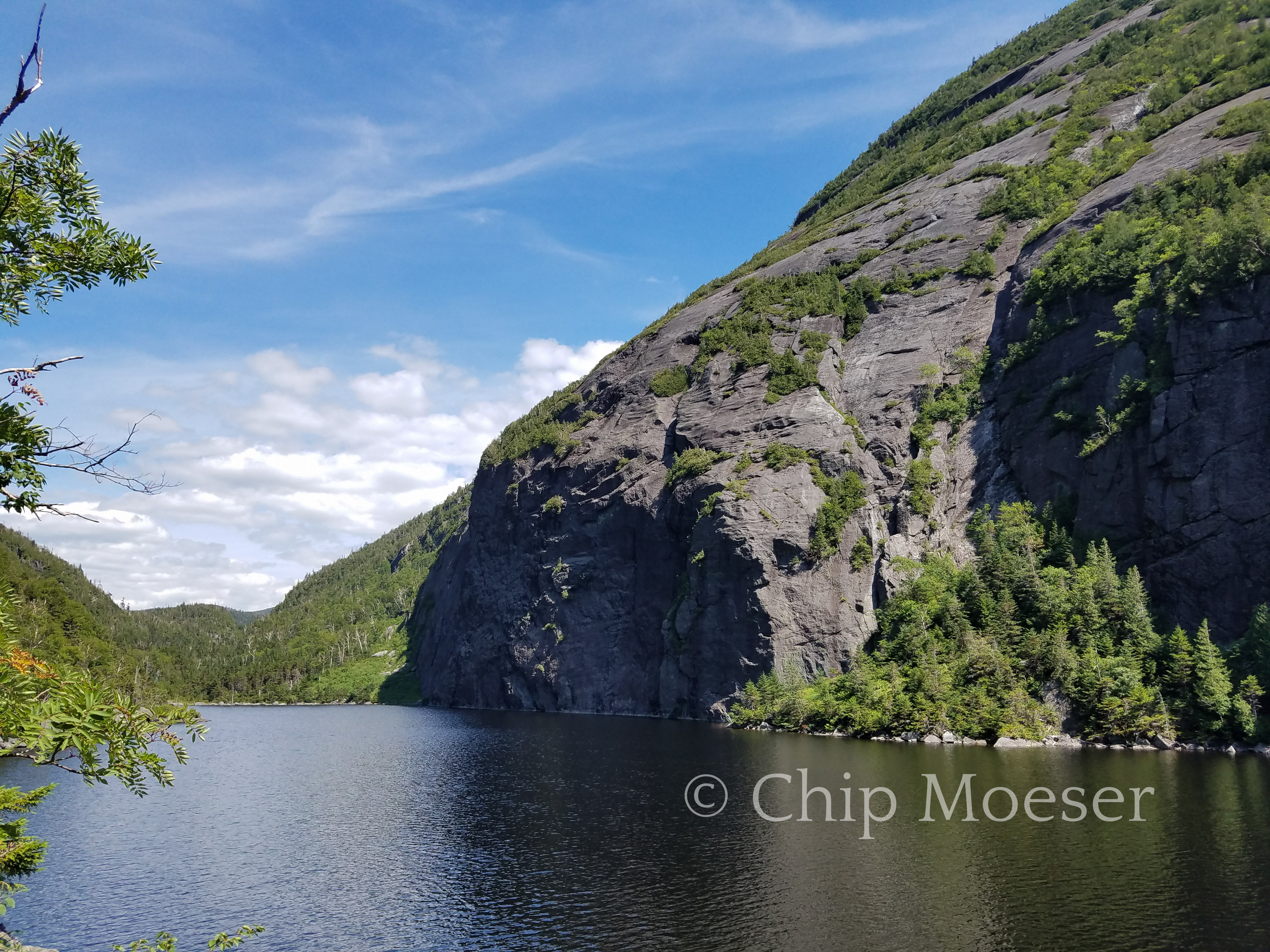
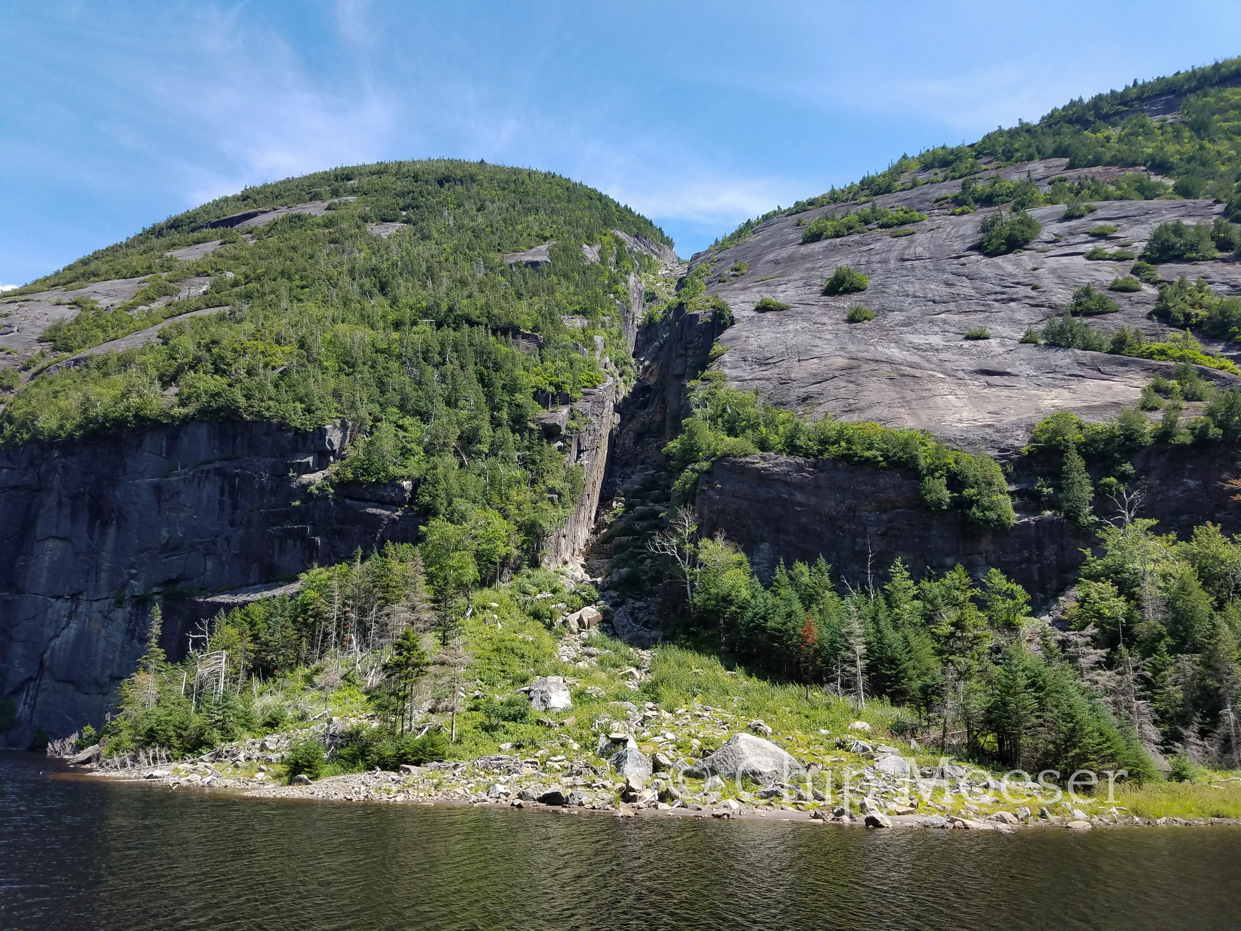
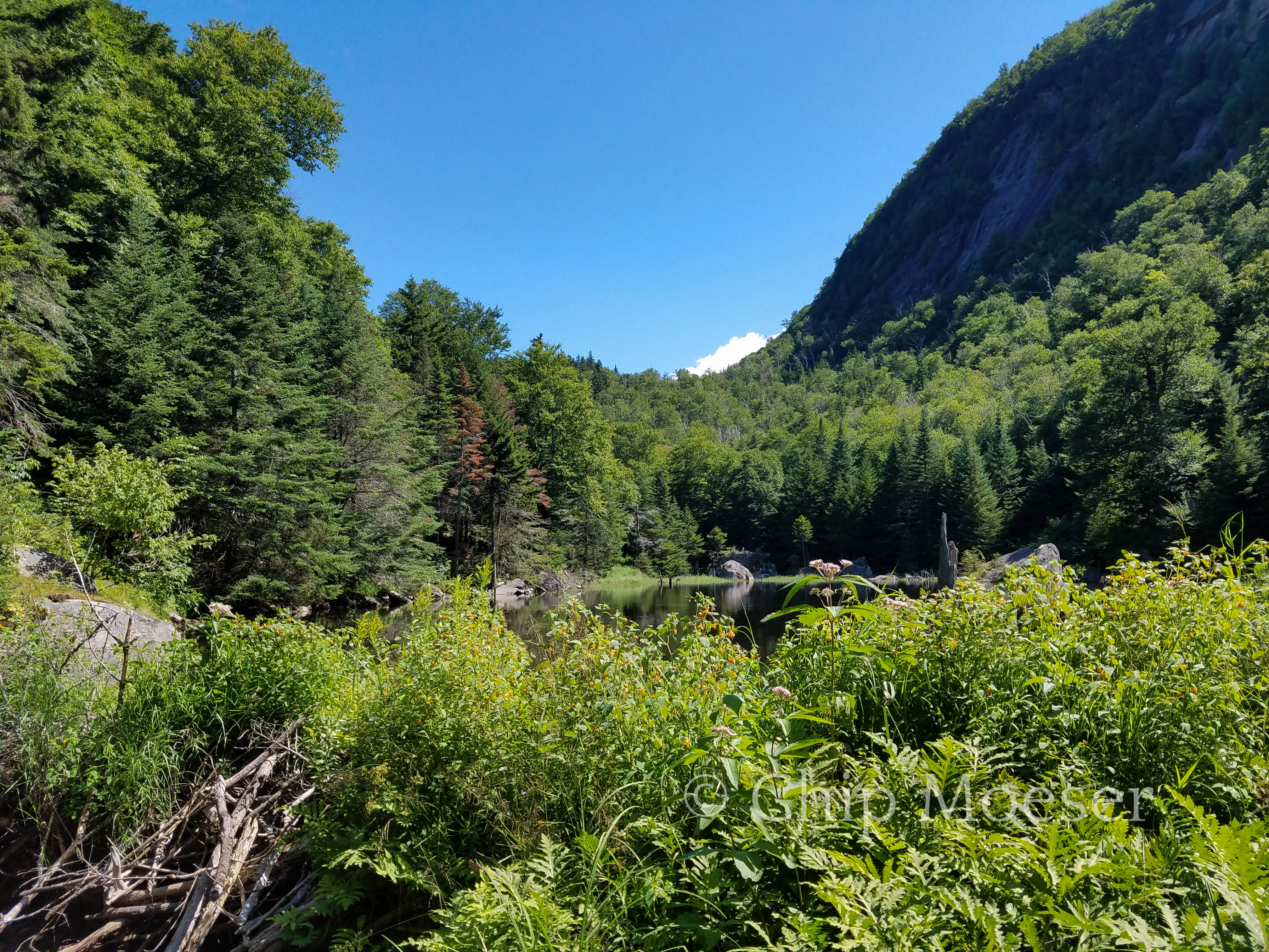
Avalanche Pass is one of the most iconic and most photographed places in the Adirondack Mountains. I had previously only seen it in photos and was dreaming of seeing it in person. It did not disappoint!
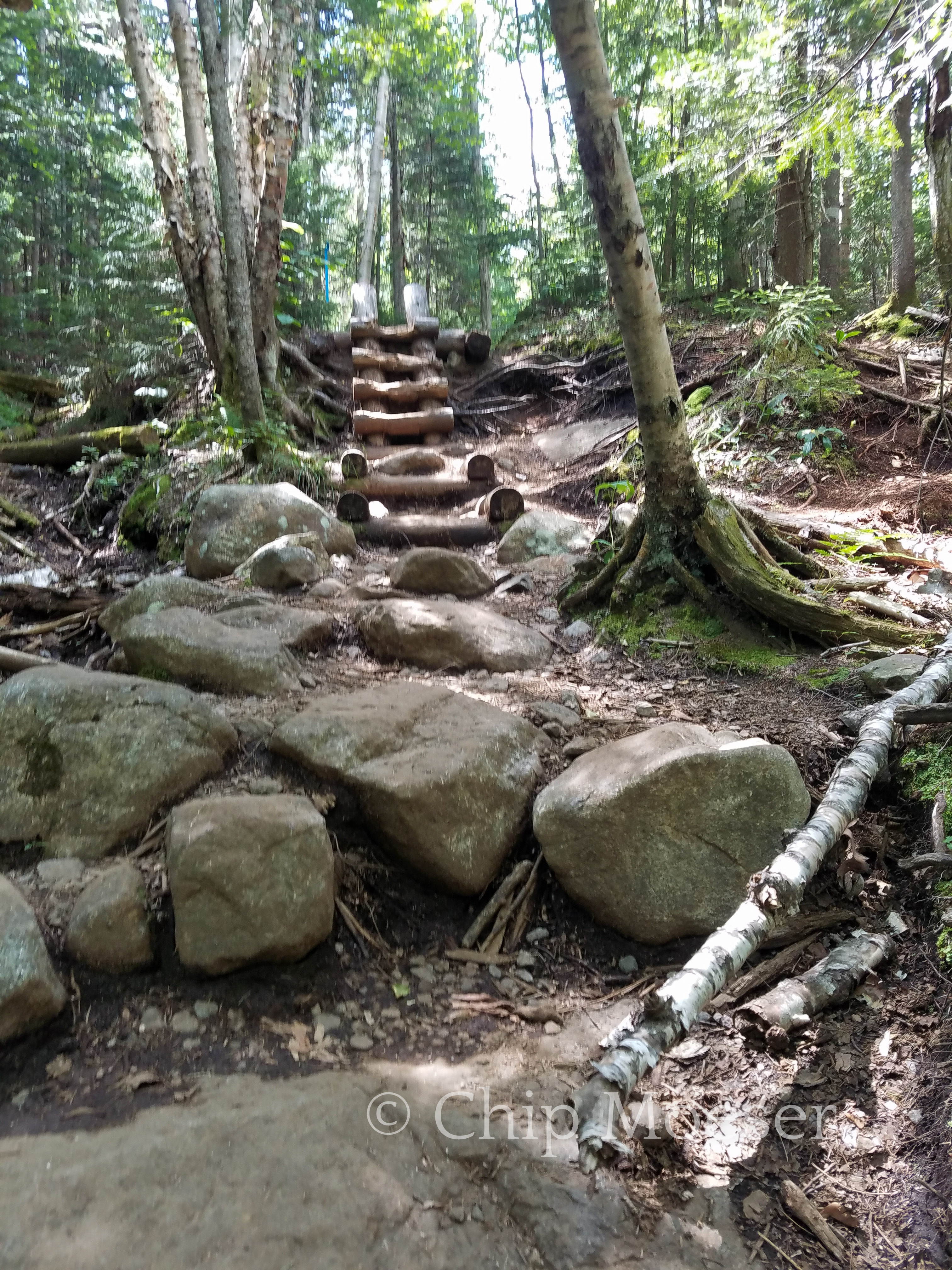
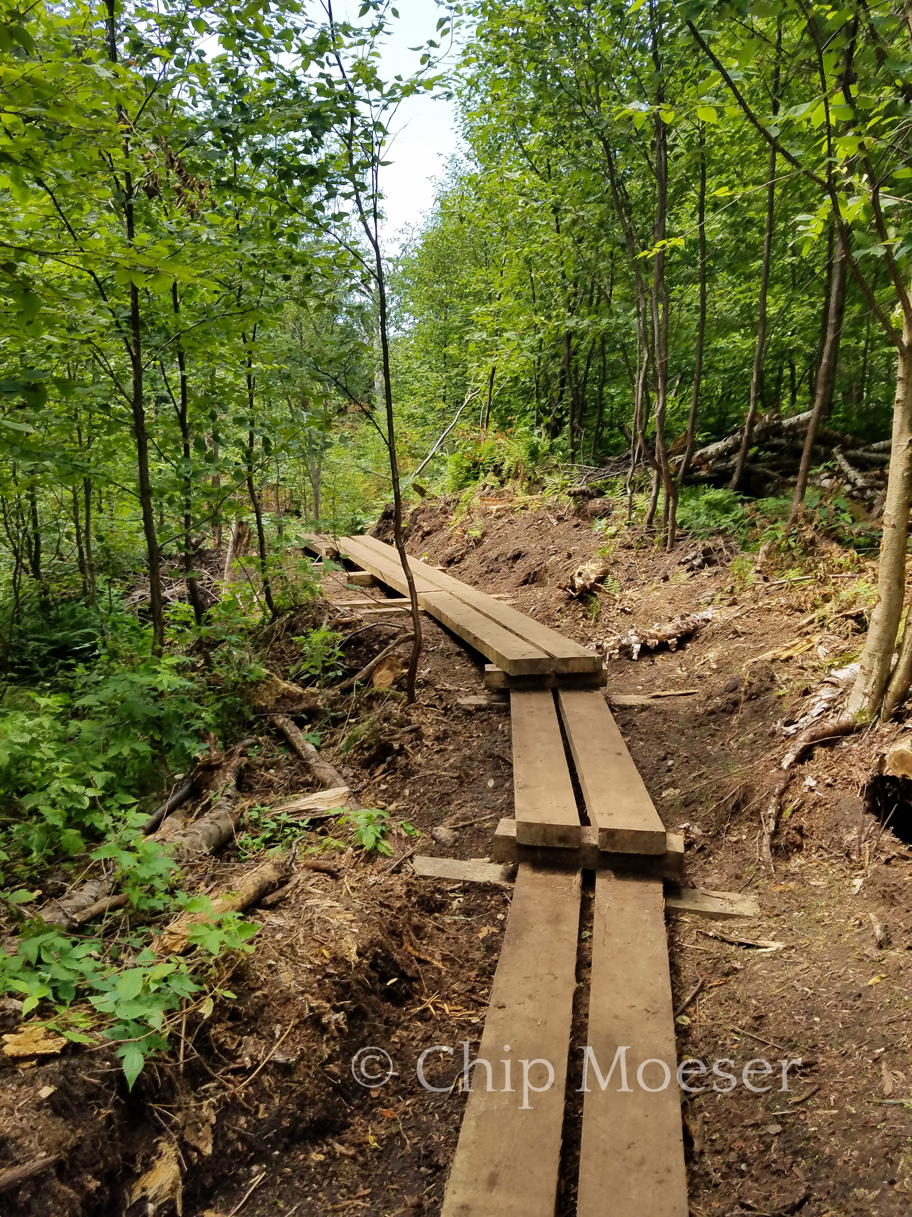
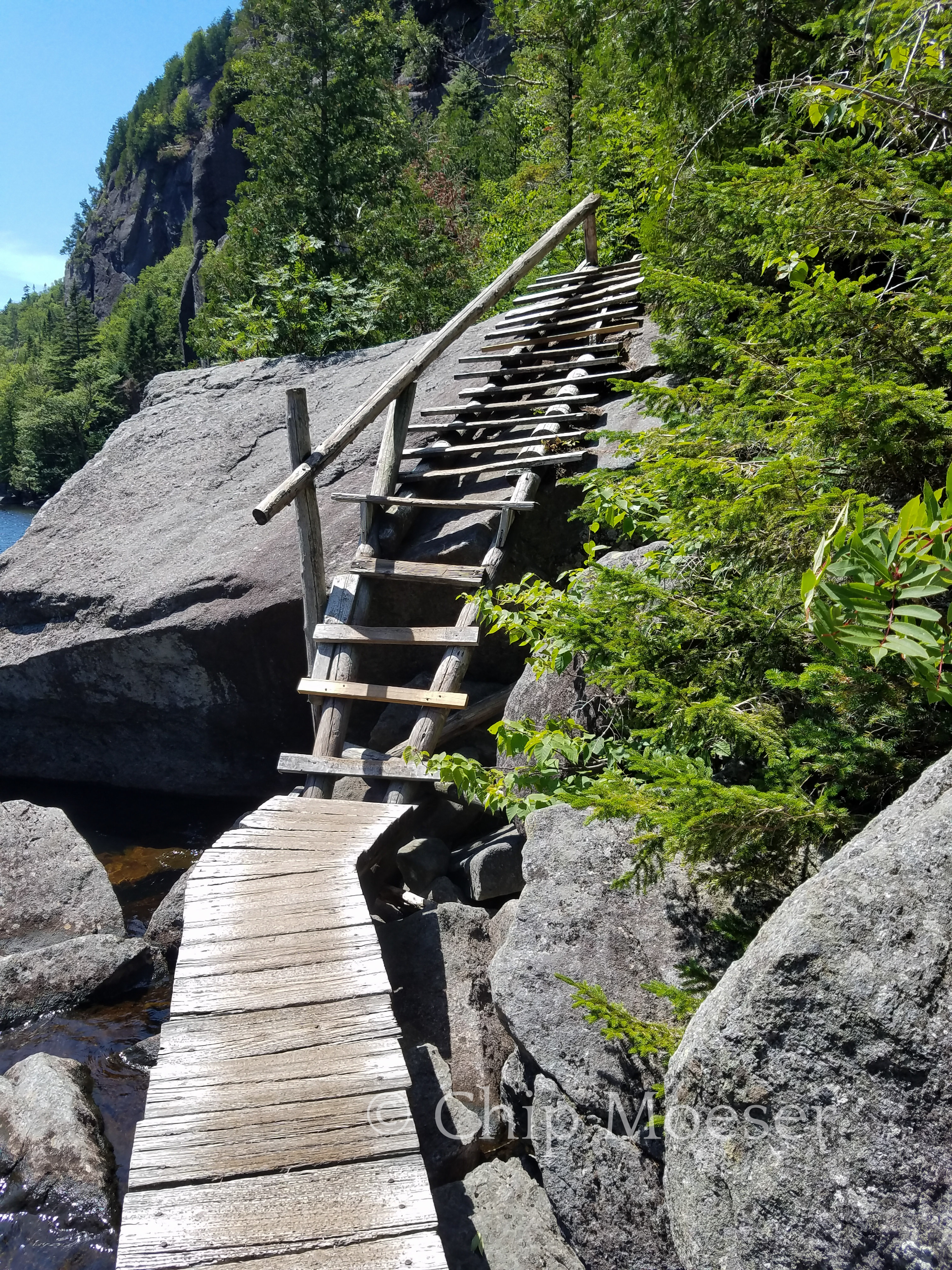
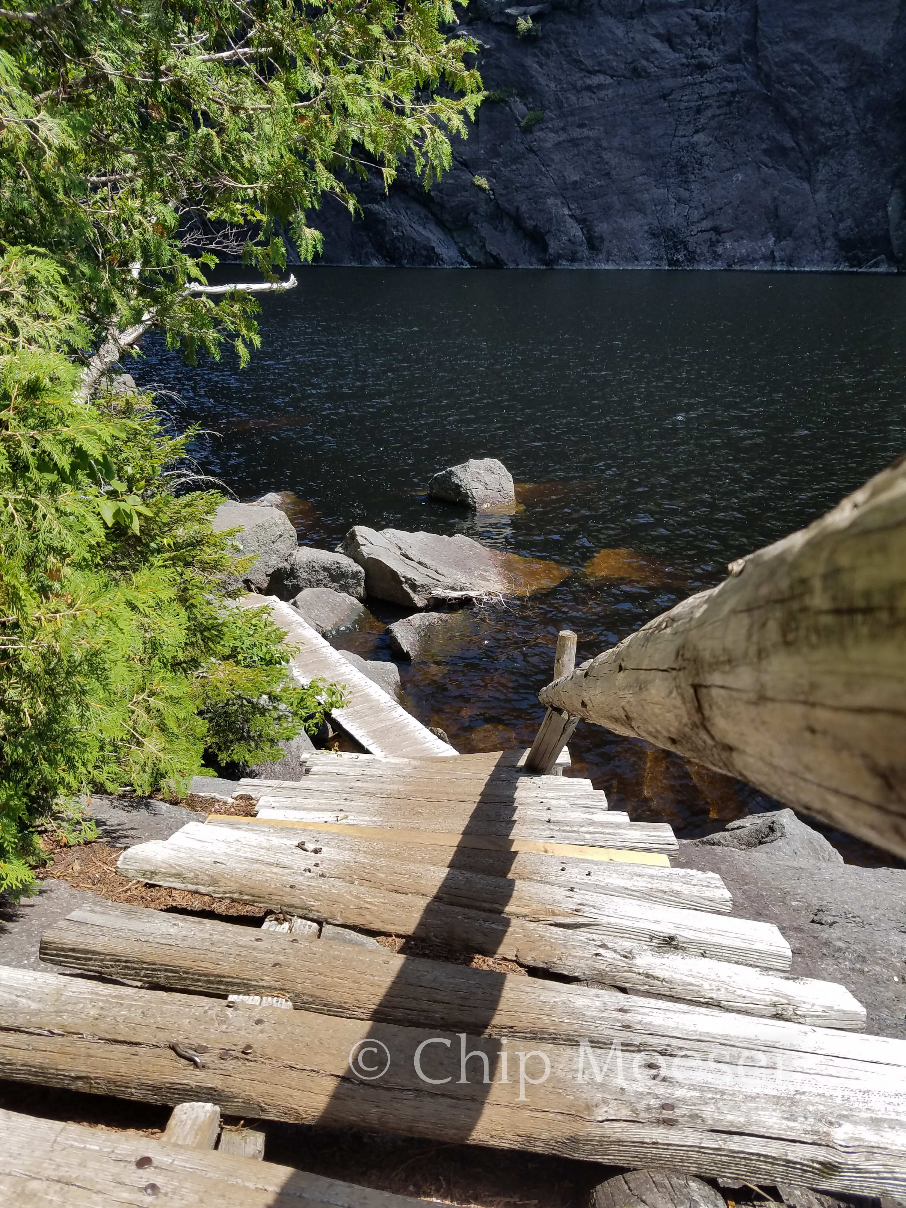
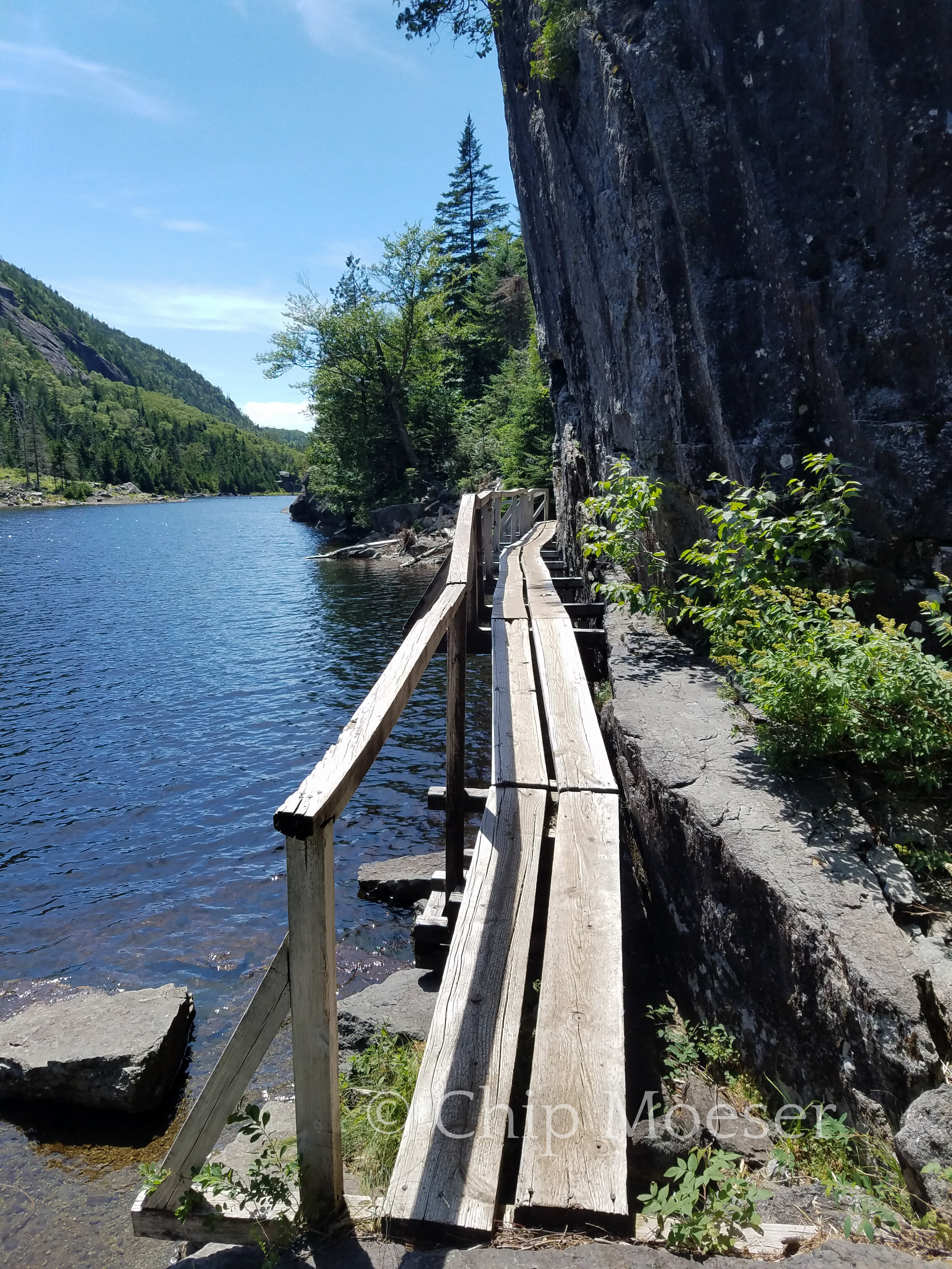
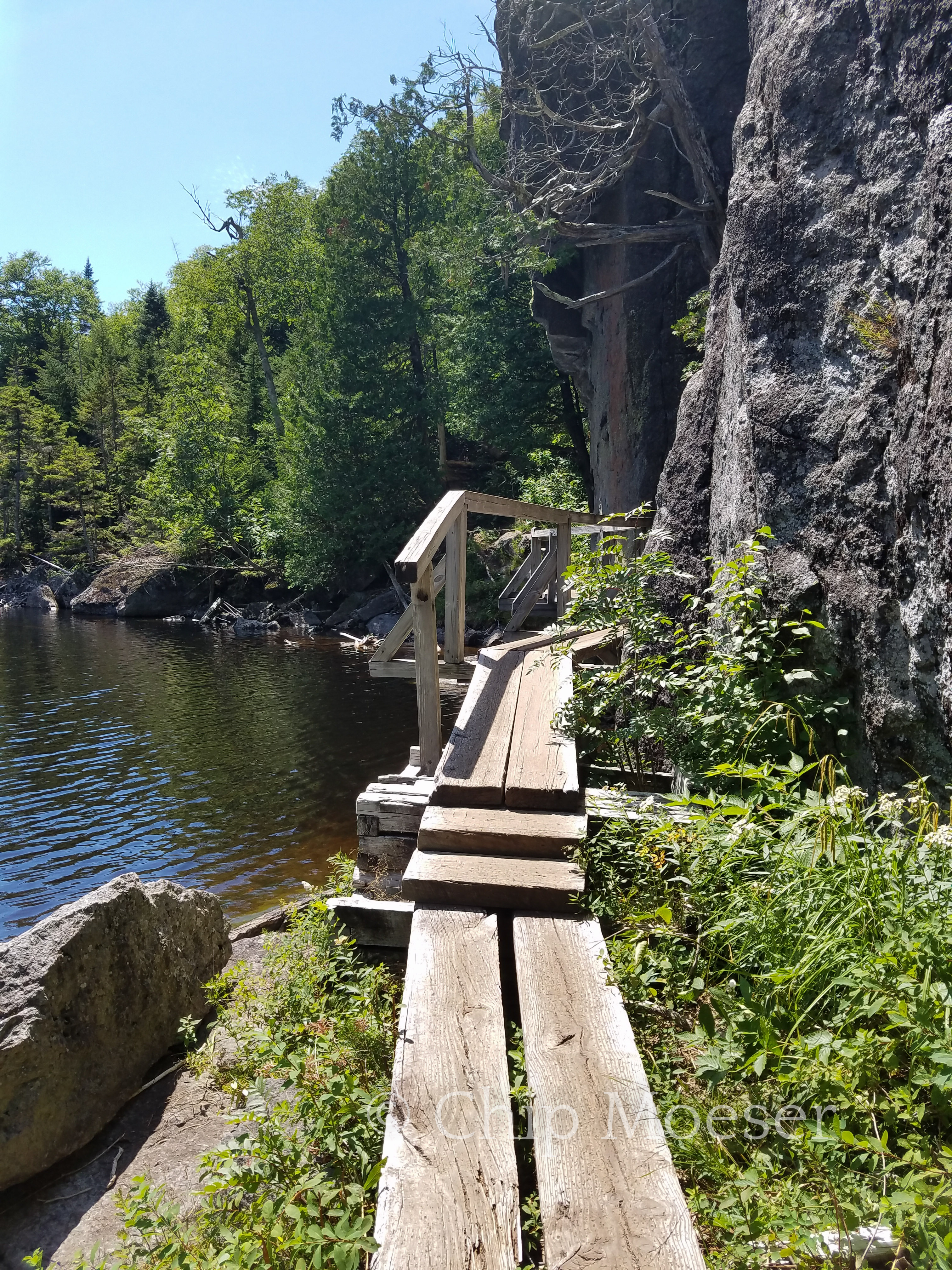
There were lots of bridges, ladders and boulders to climb over and around while passing through. It took some caution with a full pack but it was a bunch of fun!
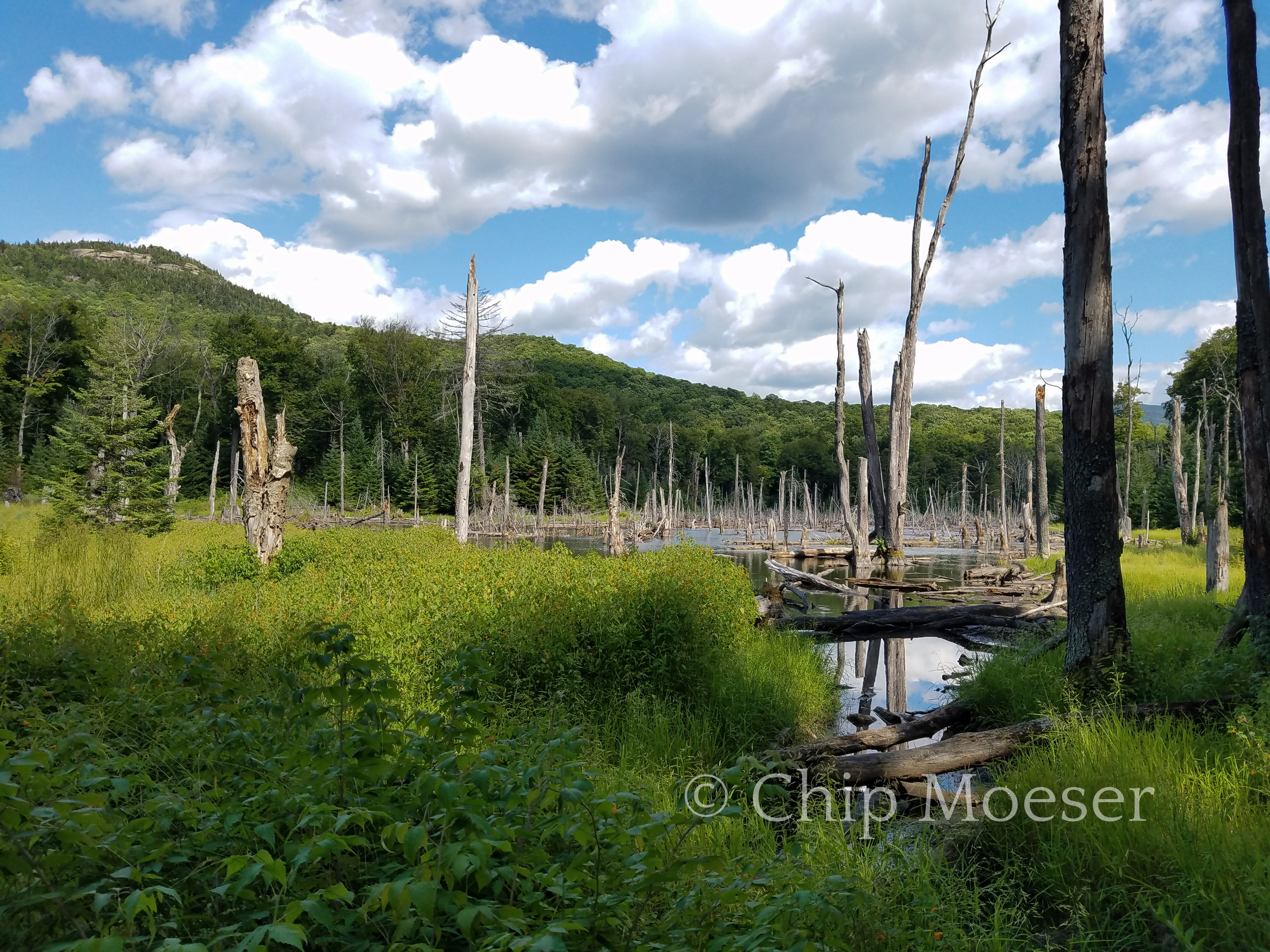
One of the key features is the Trap Dyke. Which was greatly altered when a slide from Hurricane Irene sent piles of debris crashing down into the lake below. The dyke is a popular hike/climb in the area. It’s a borderline 3/4 on the Yosemite Scale. A 3 requiring no ropes or technical gear but some climbing & scrambling. A 4 requiring gear. My limit is about borderline 3/4. I had been wondering for some time if I could handle it. After seeing it in person I have decided I definitely couldn’t do it at this time. Too scary and if it rains forget it.
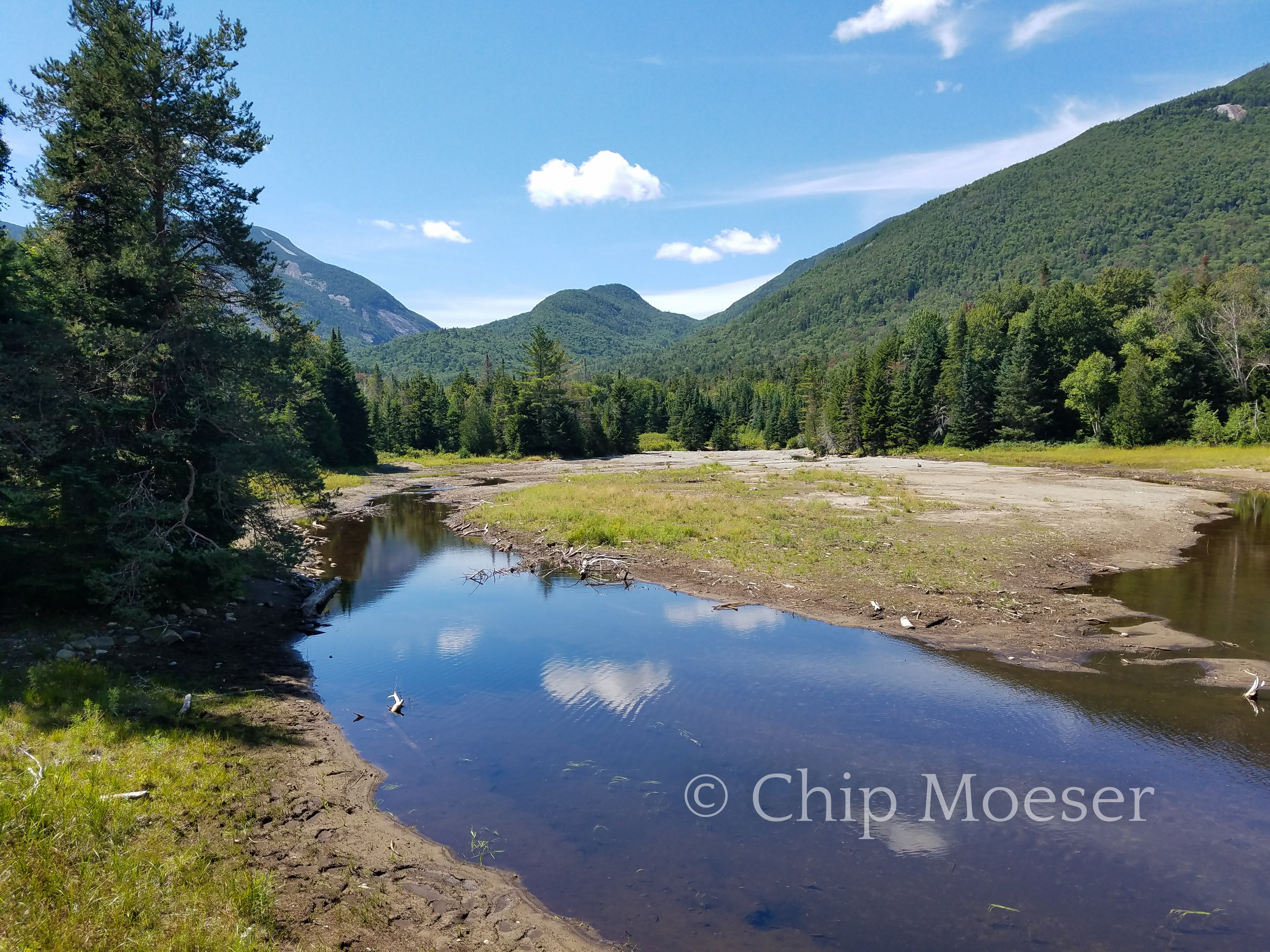
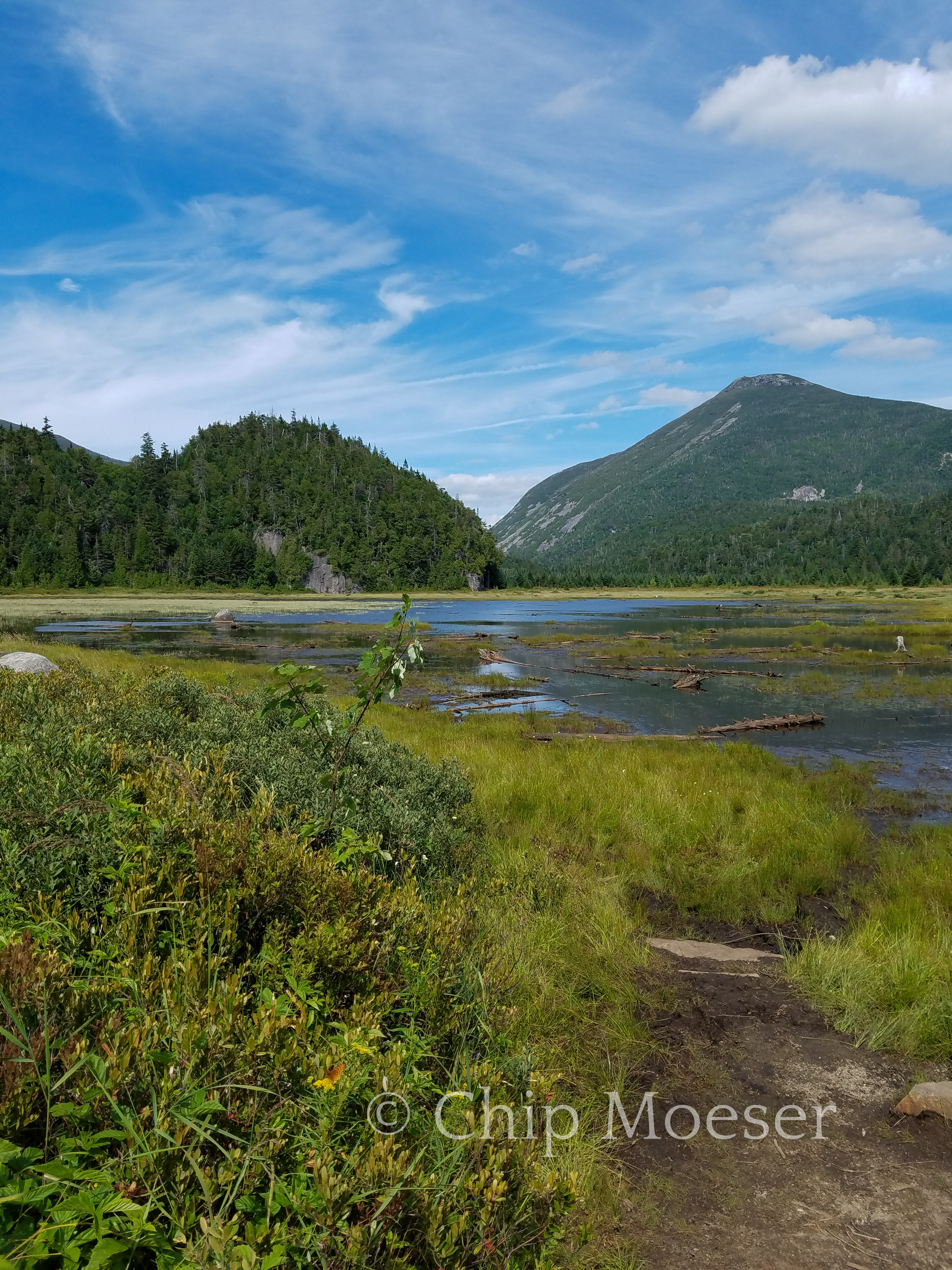
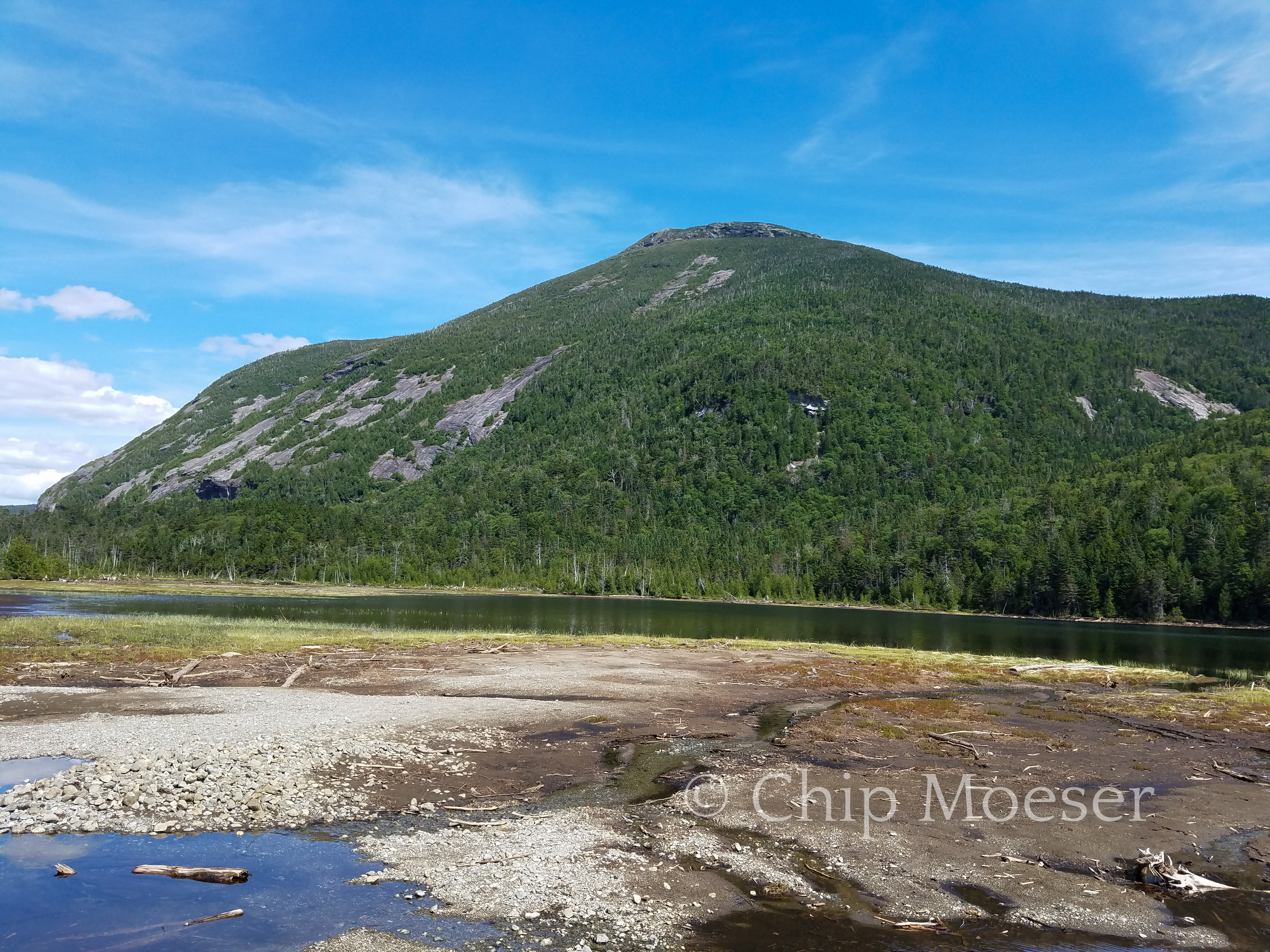
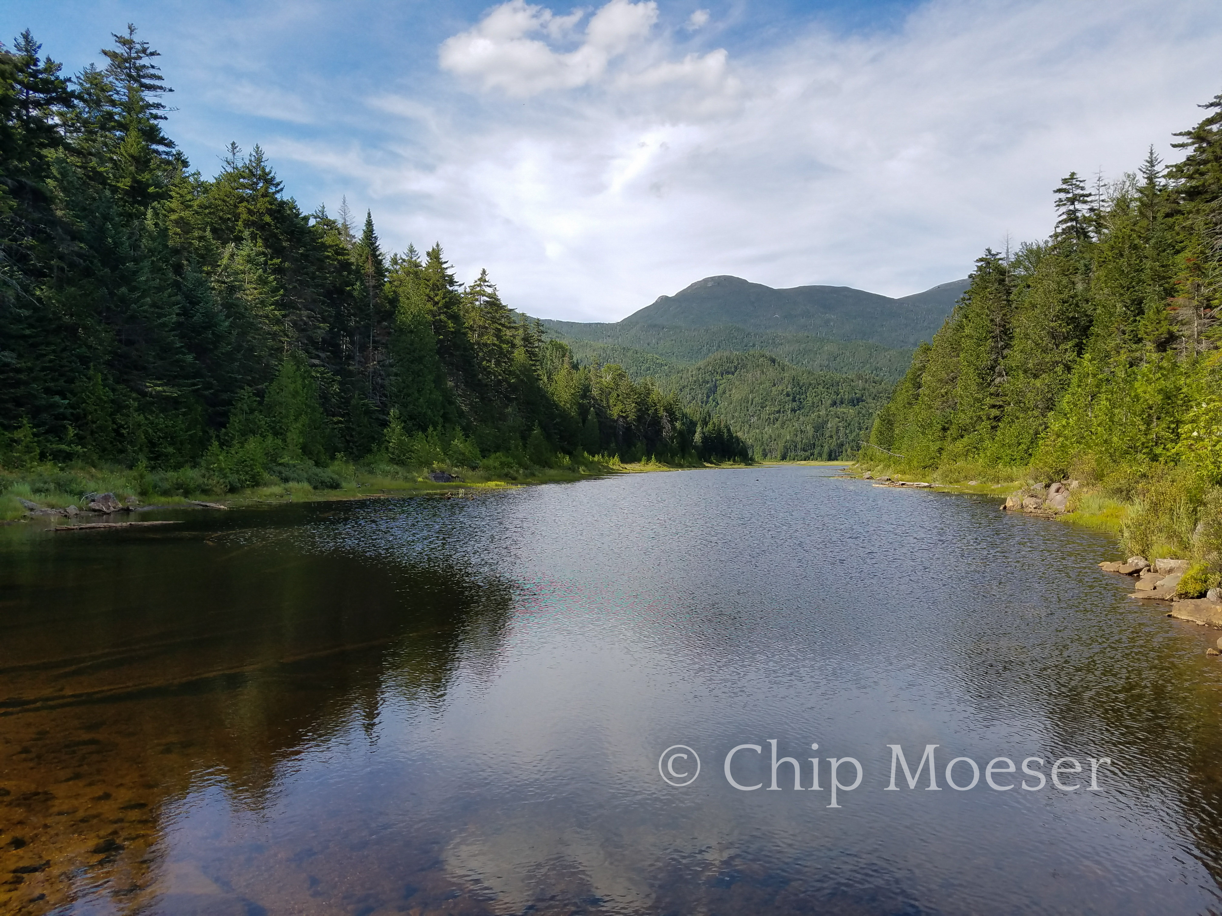
After passing through Avalanche Pass I also passed through High Peaks landmarks Lake Colden, and the Flowed Lands.
Leaving the LOJMarcy DamMarcy DamBridges and ladders heading into Avalanche PassBridges and ladders heading into Avalanche PassBridges and ladders heading into Avalanche PassAvalanche PassAvalanche PassAvalanche PassAvalanche PassAvalanche PassAvalanche PassAvalanche PassAvalanche PassThe Trap DykeLake ColdenMt ColdenLake Colden DEC interior outpostFlowed Lands
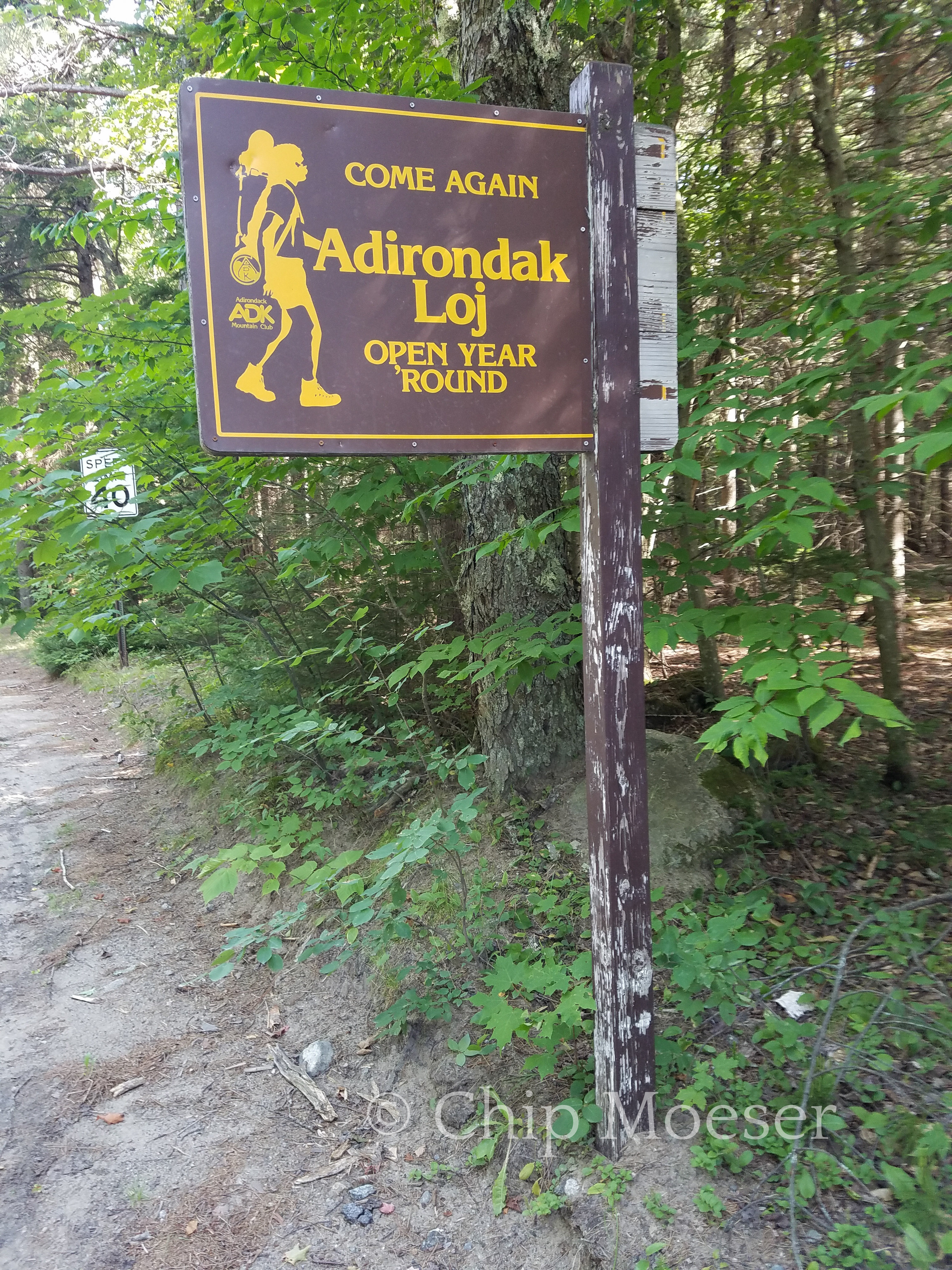
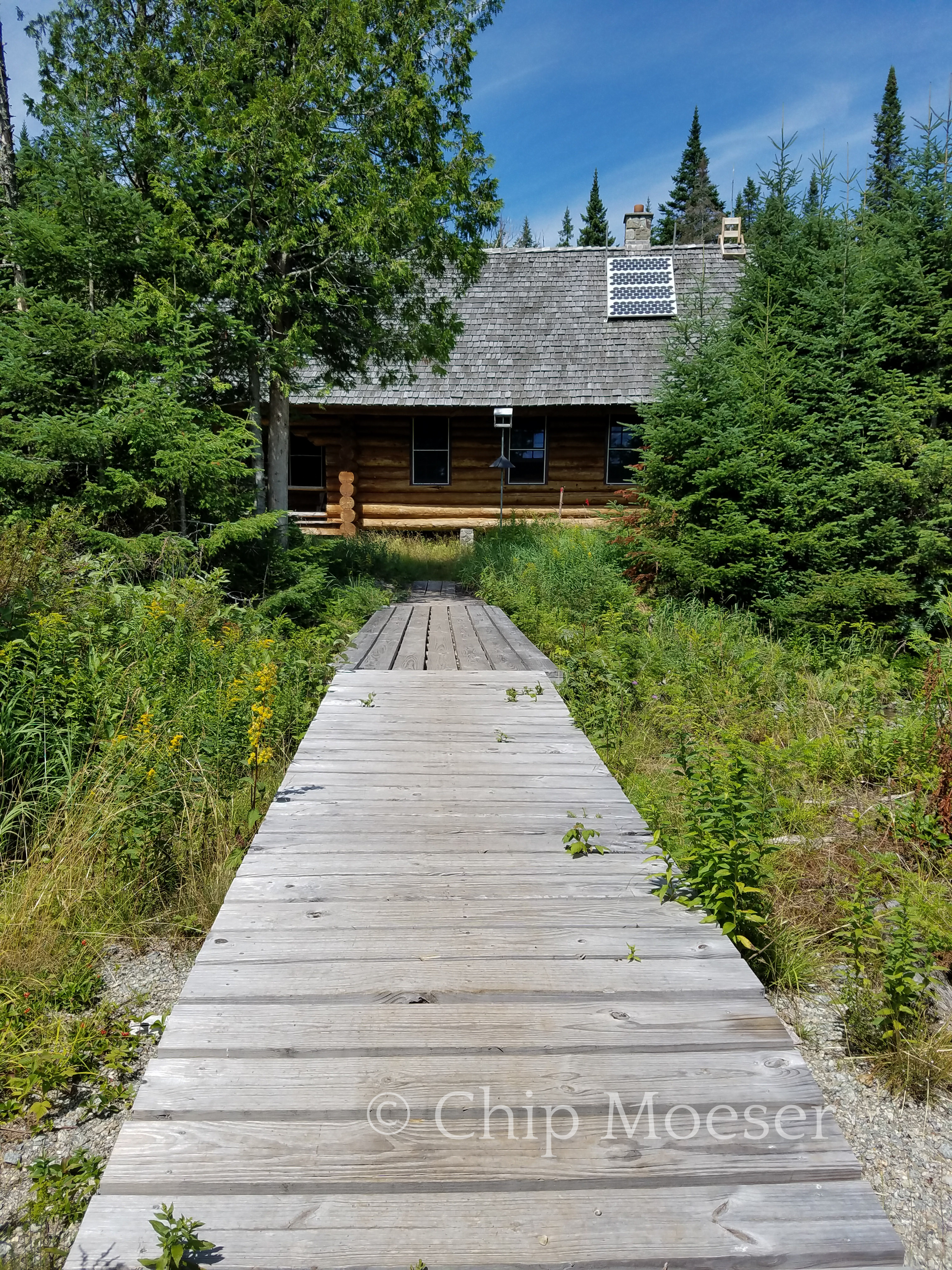
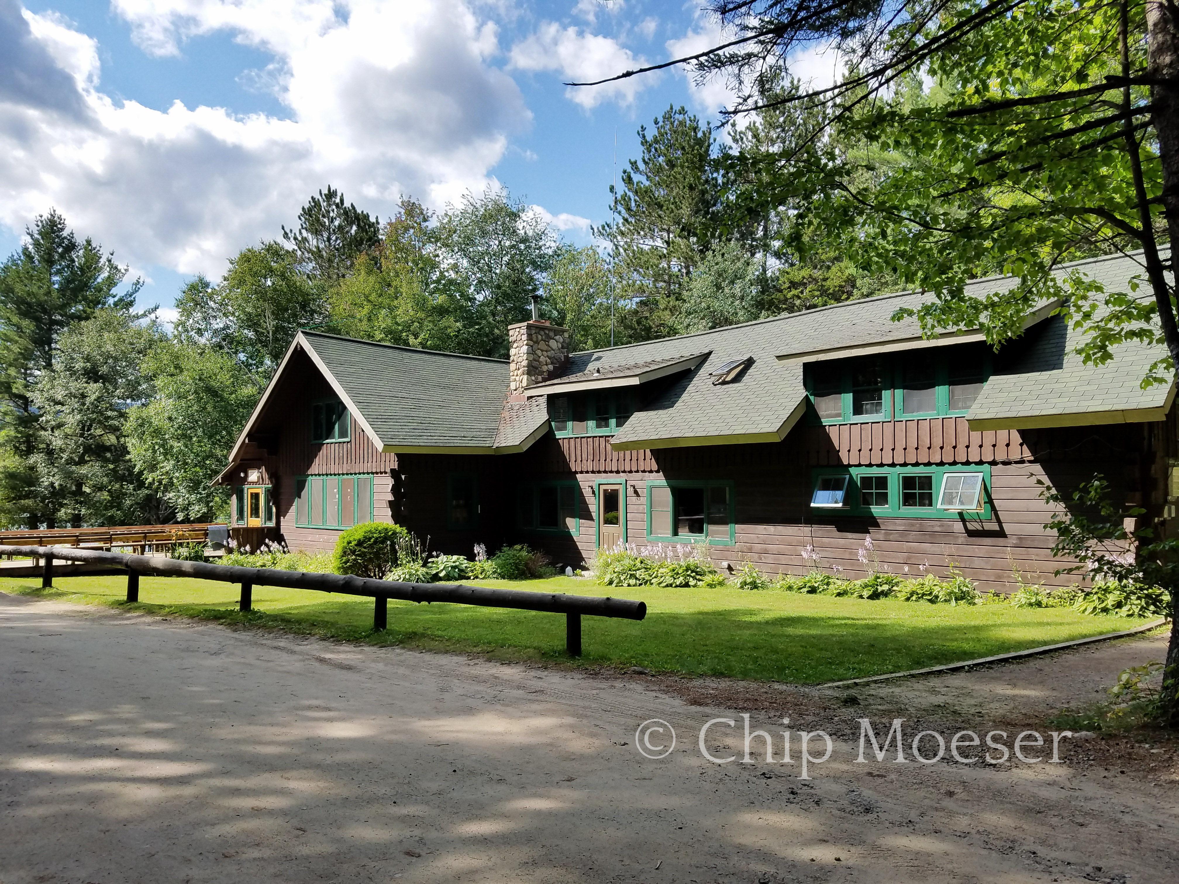
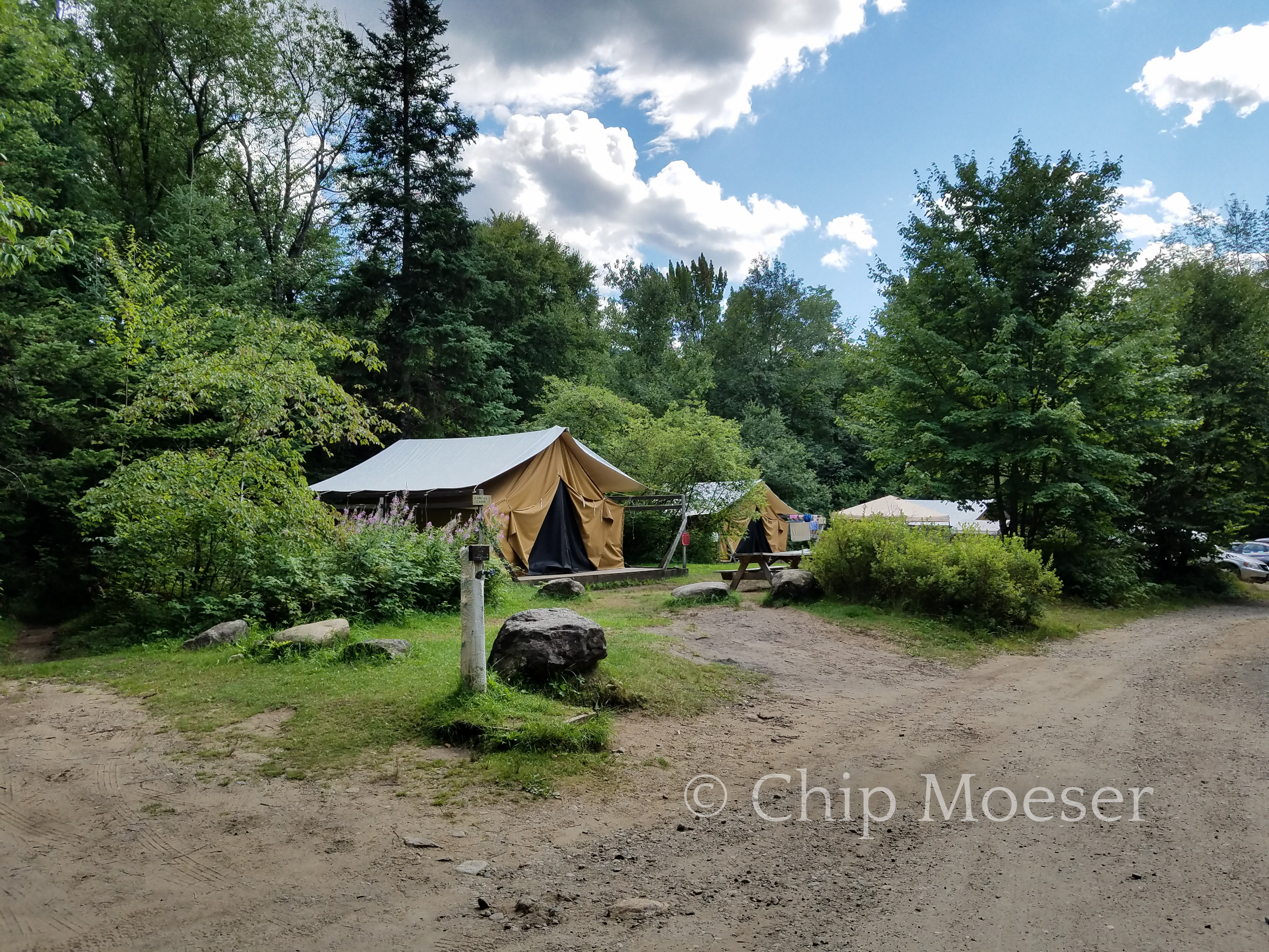
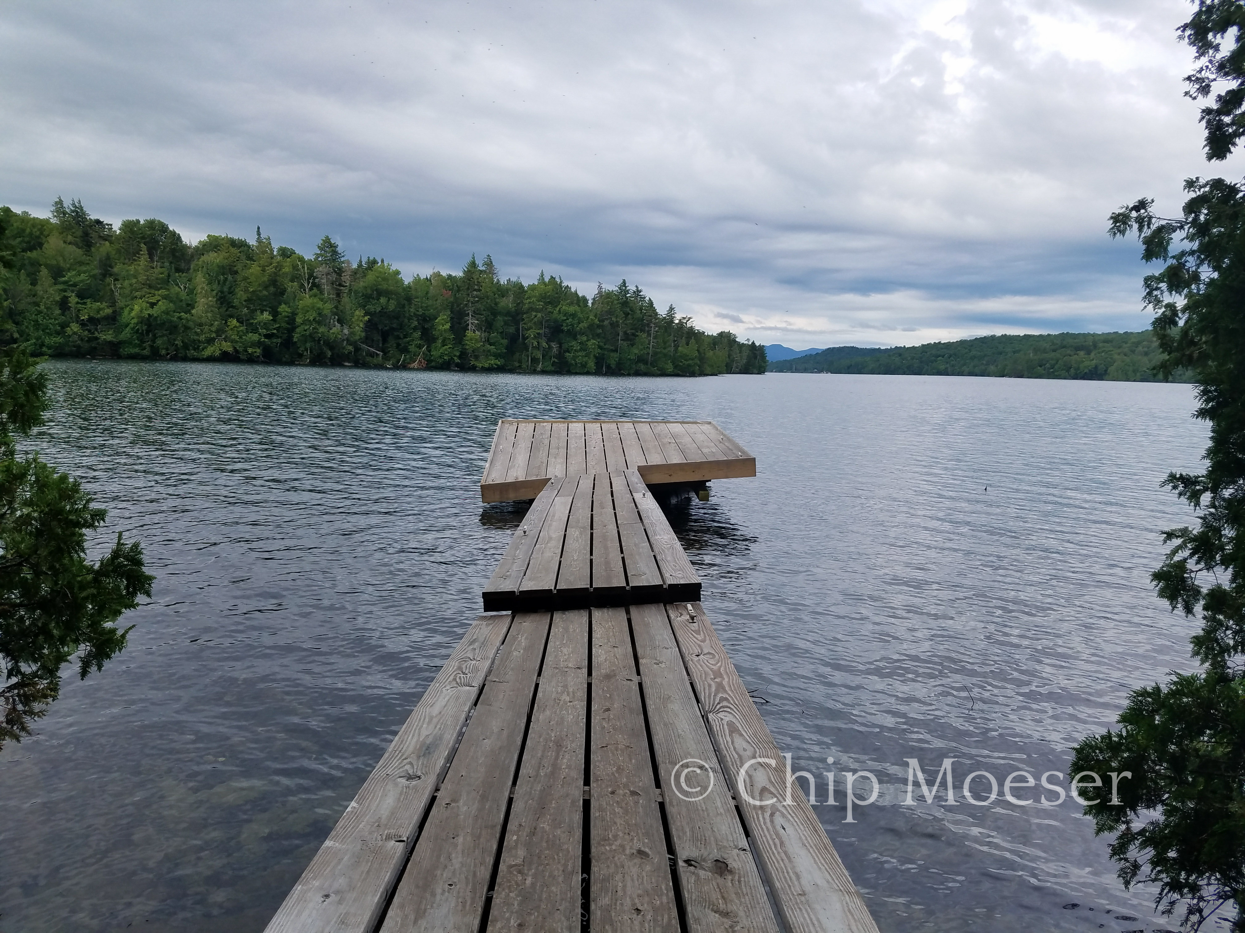
Though it’s not on the Trans Adirondack Route, the Adirondack Mountain Club owns and operates a Loj & campground at Heart Lake in the Adirondacks. Since I have always wanted to see it and it’s only a 1.5 mile side trip. I stopped there for some supplies, a wash, and hopefully some great scenery. It did not disappoint!
I paid for a basic tent site for the evening. Upon checking in and heading to my campsite I was greeted by the campground hosts, Dan and Maureen. They were a couple from Albany and Dan was fascinated by the trip i am taking.
Dan is a 46’r or one who has summitted all of the Adirondack High Peaks, which are the peaks over 4000 feet. He is also a winter 46’r which takes some doing. Dan and I spoke several times throughout my stay here. He picked my brain about the TransADK and I his about 46’ing. They were a very nice couple. I enjoyed talking with them.
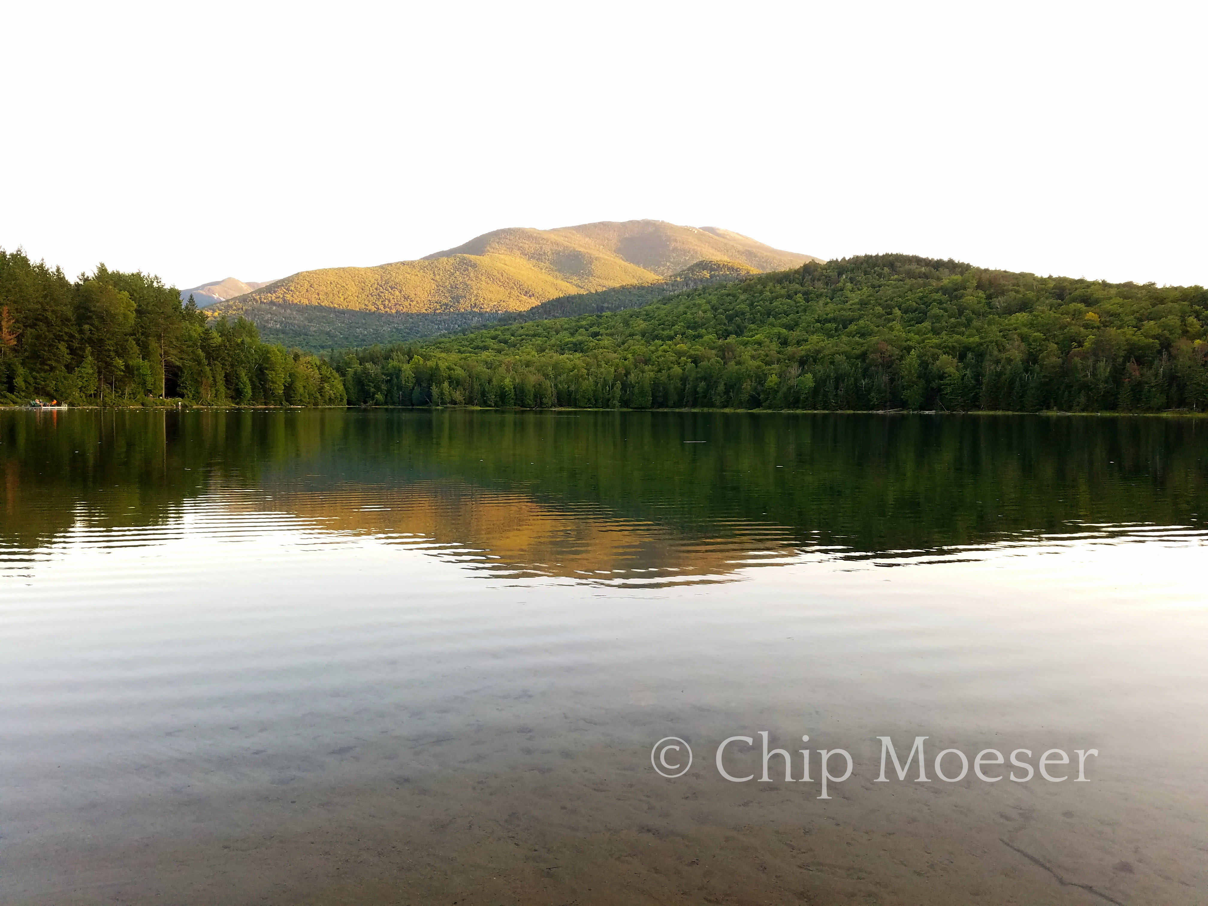
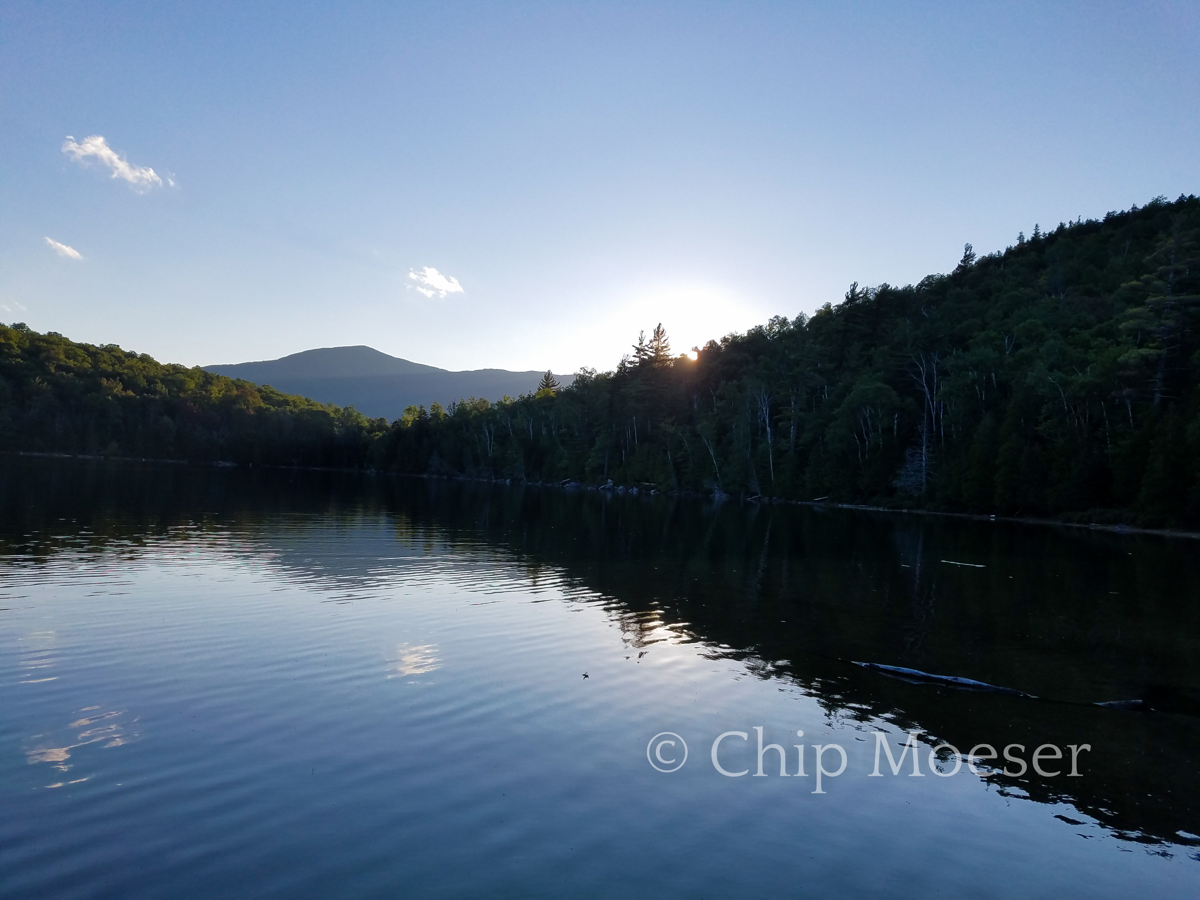
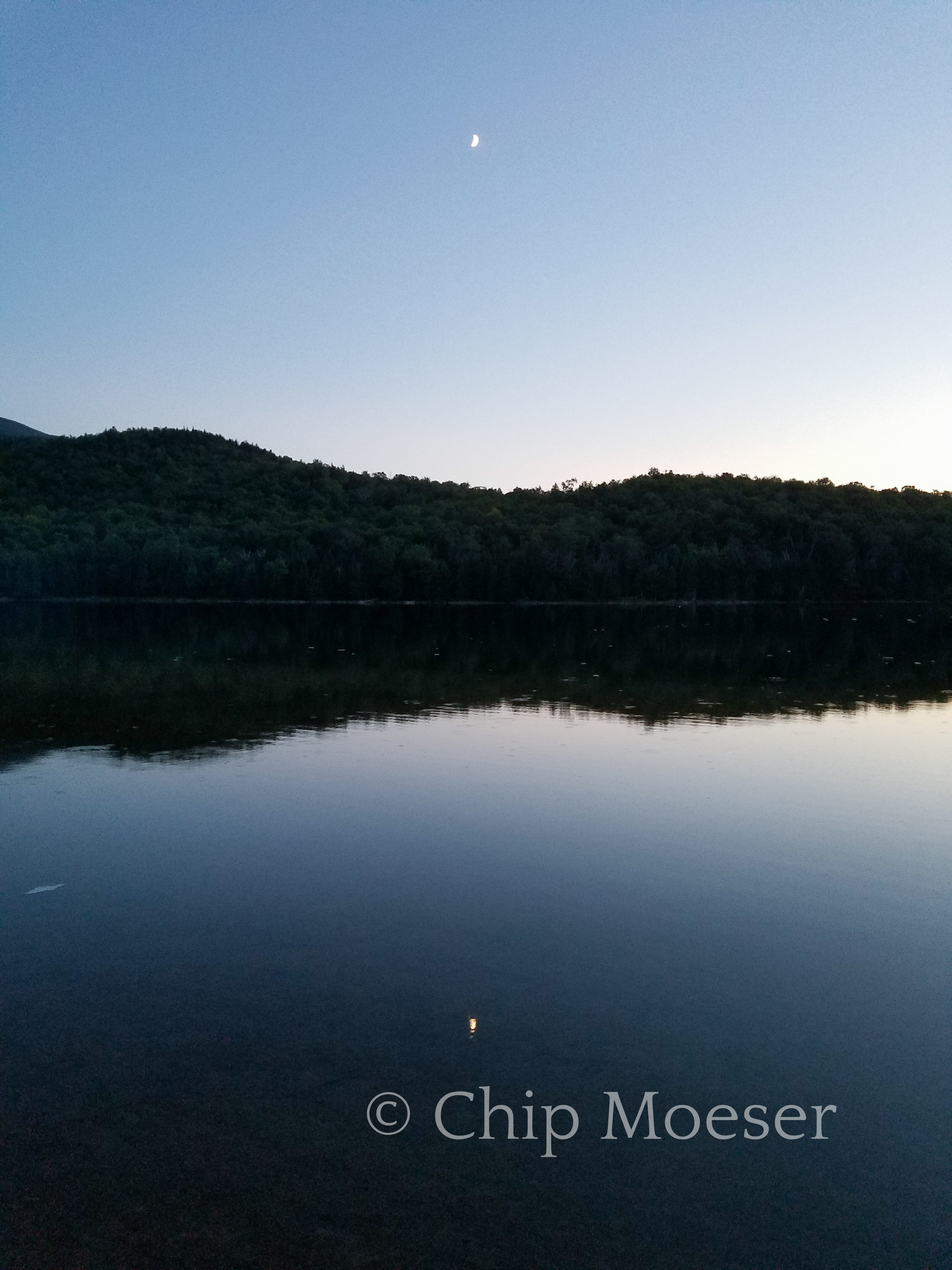
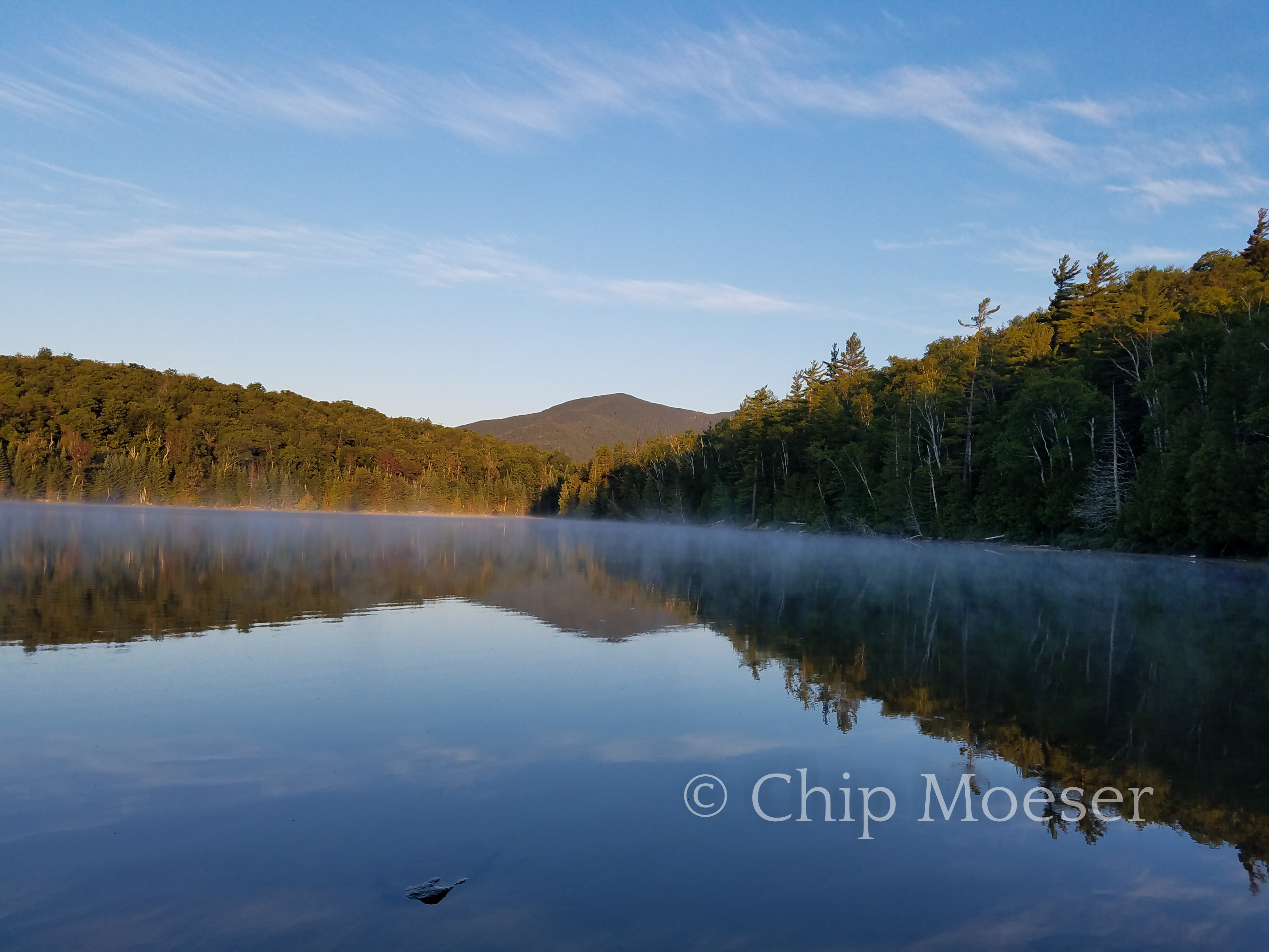
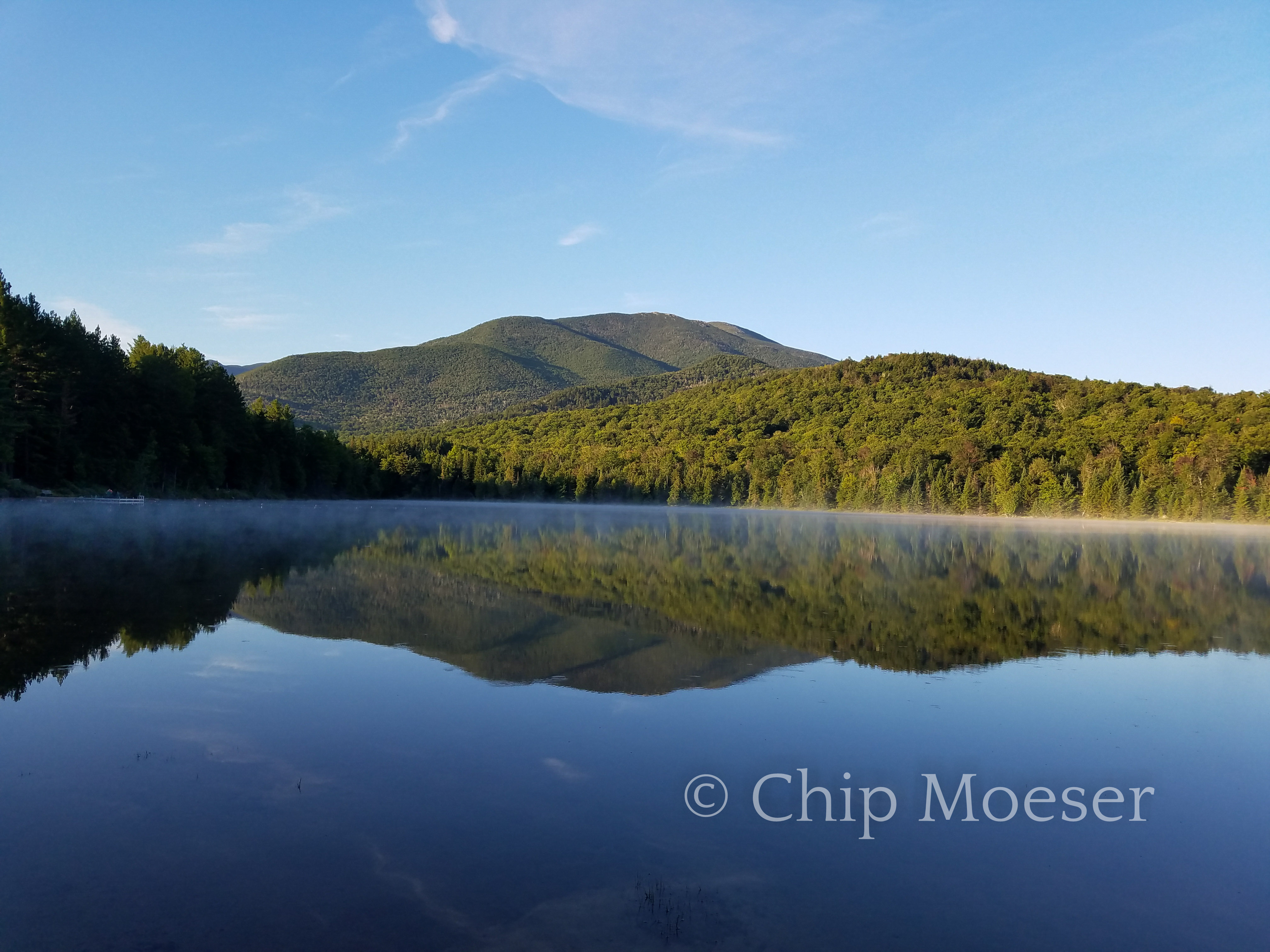
I made dinner, set up camp, took a ice cold shower and raced down to the lake to see the sunset. It really was picturesque. I was also able to catch both sunset and sunrise on Heart Lake.
Adirondak LOJAdirondak LOJGlamping at the Adirondak LOJHeart LakeHeart LakeHeart LakeHeart LakeHeart Lake
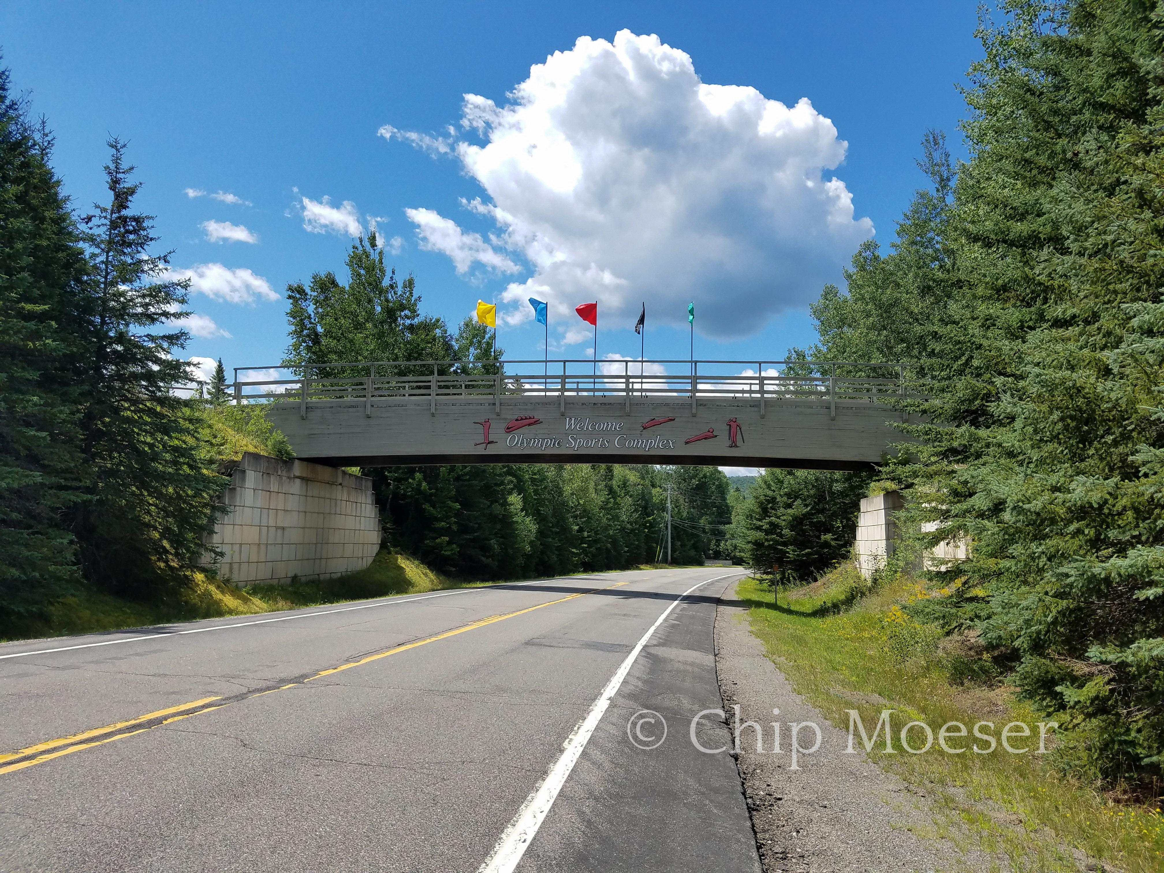
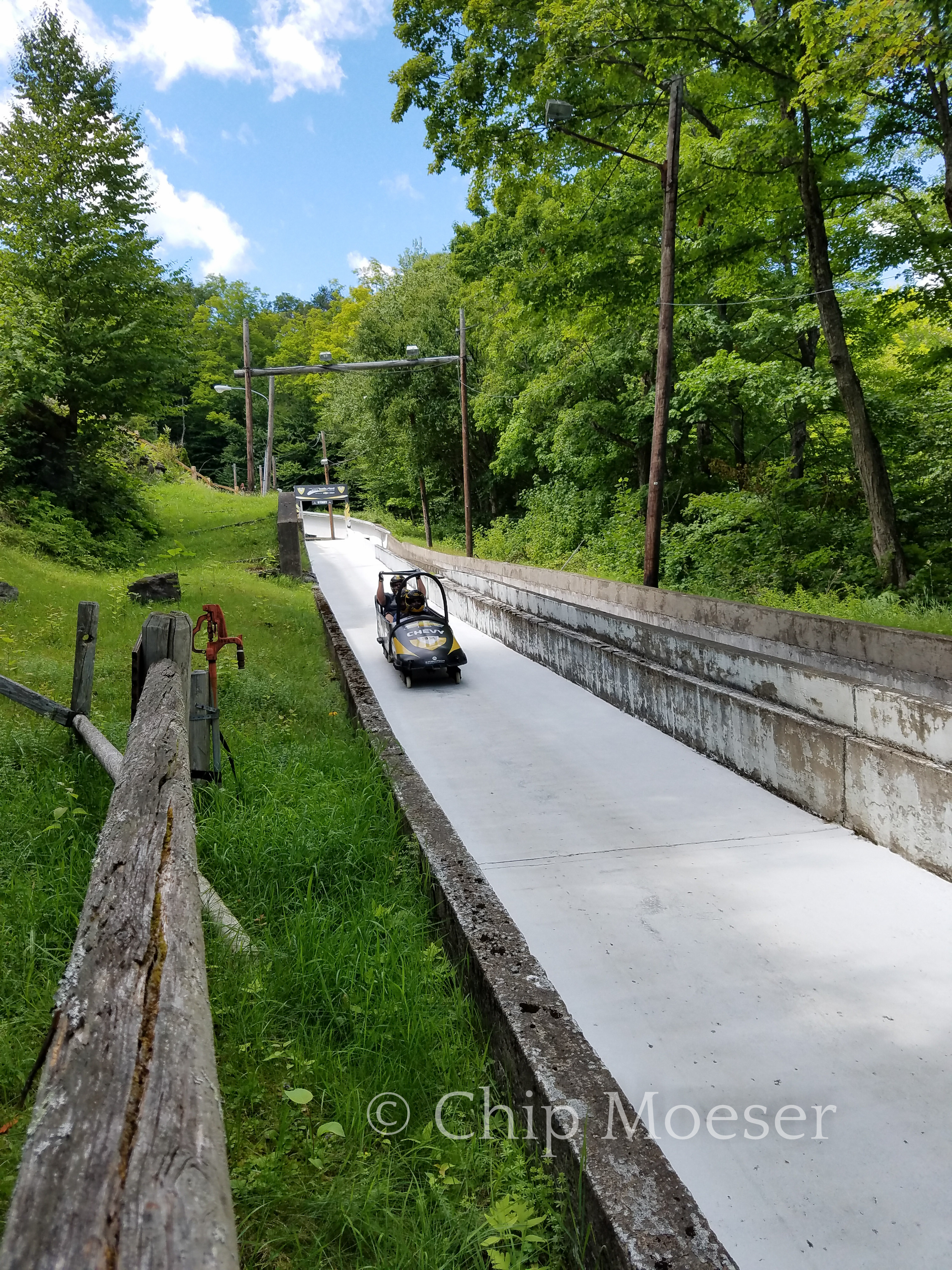
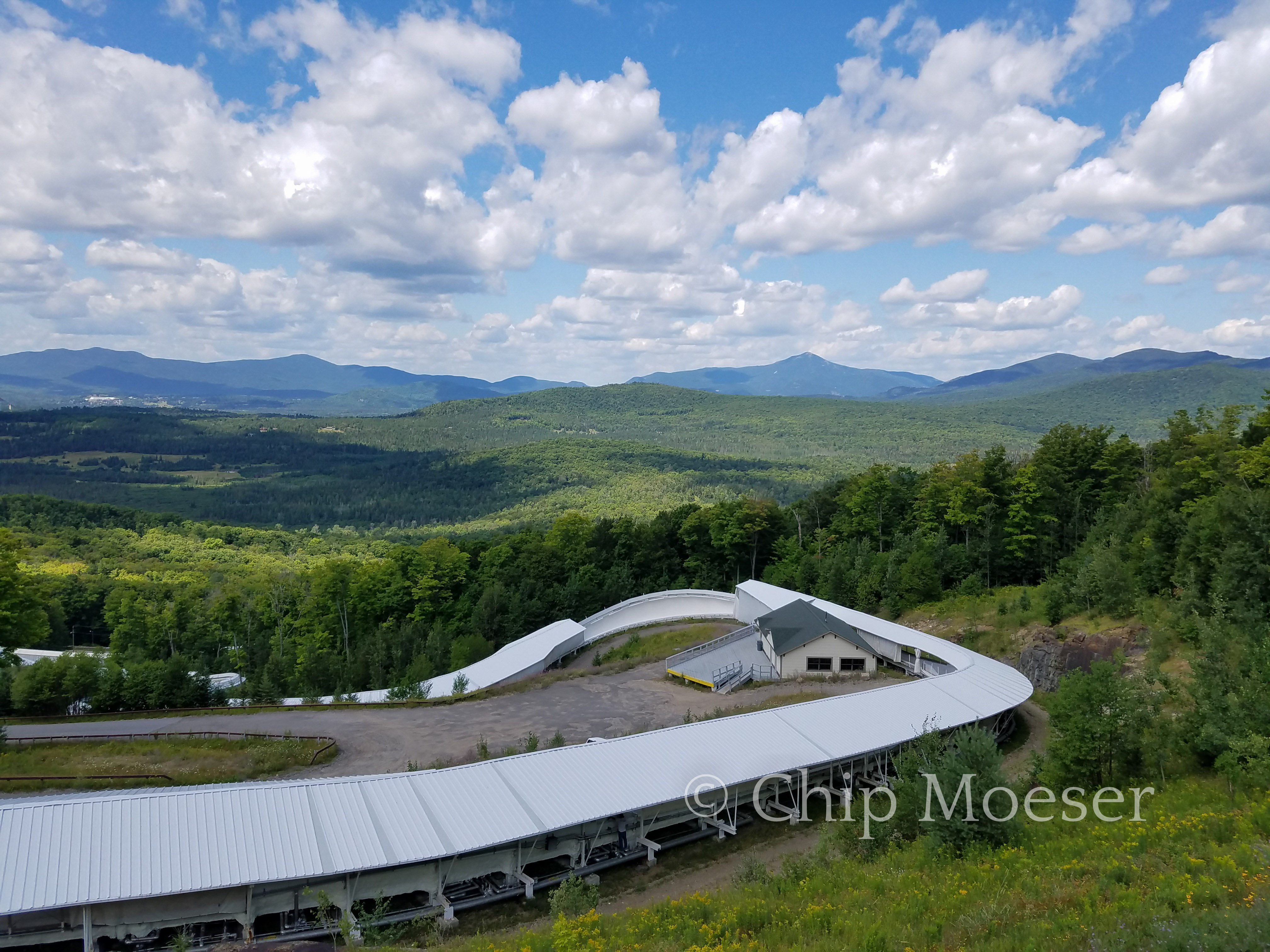
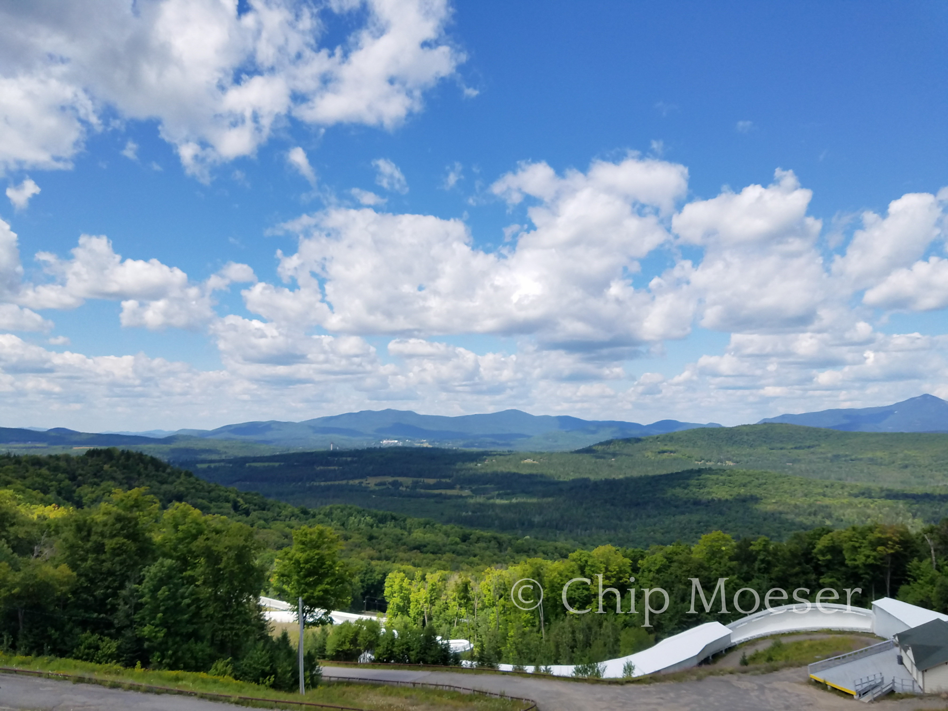
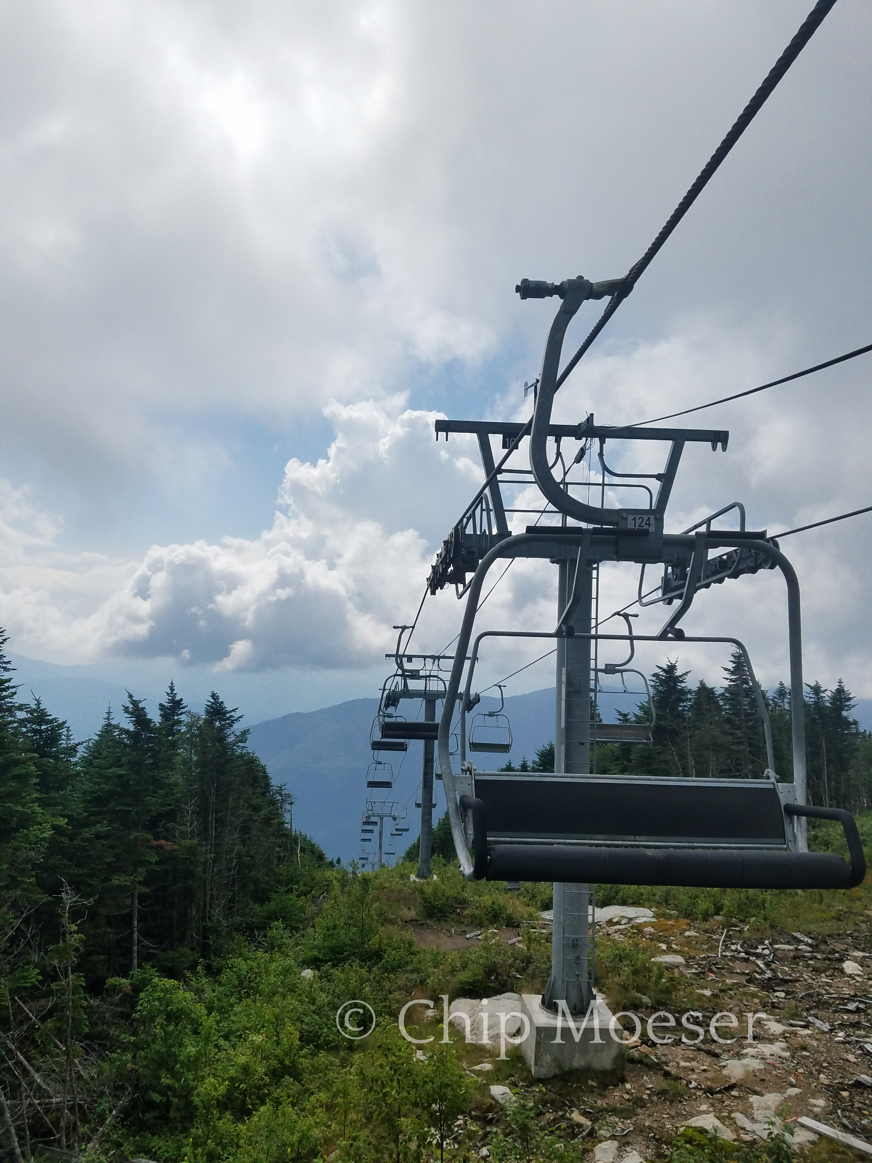
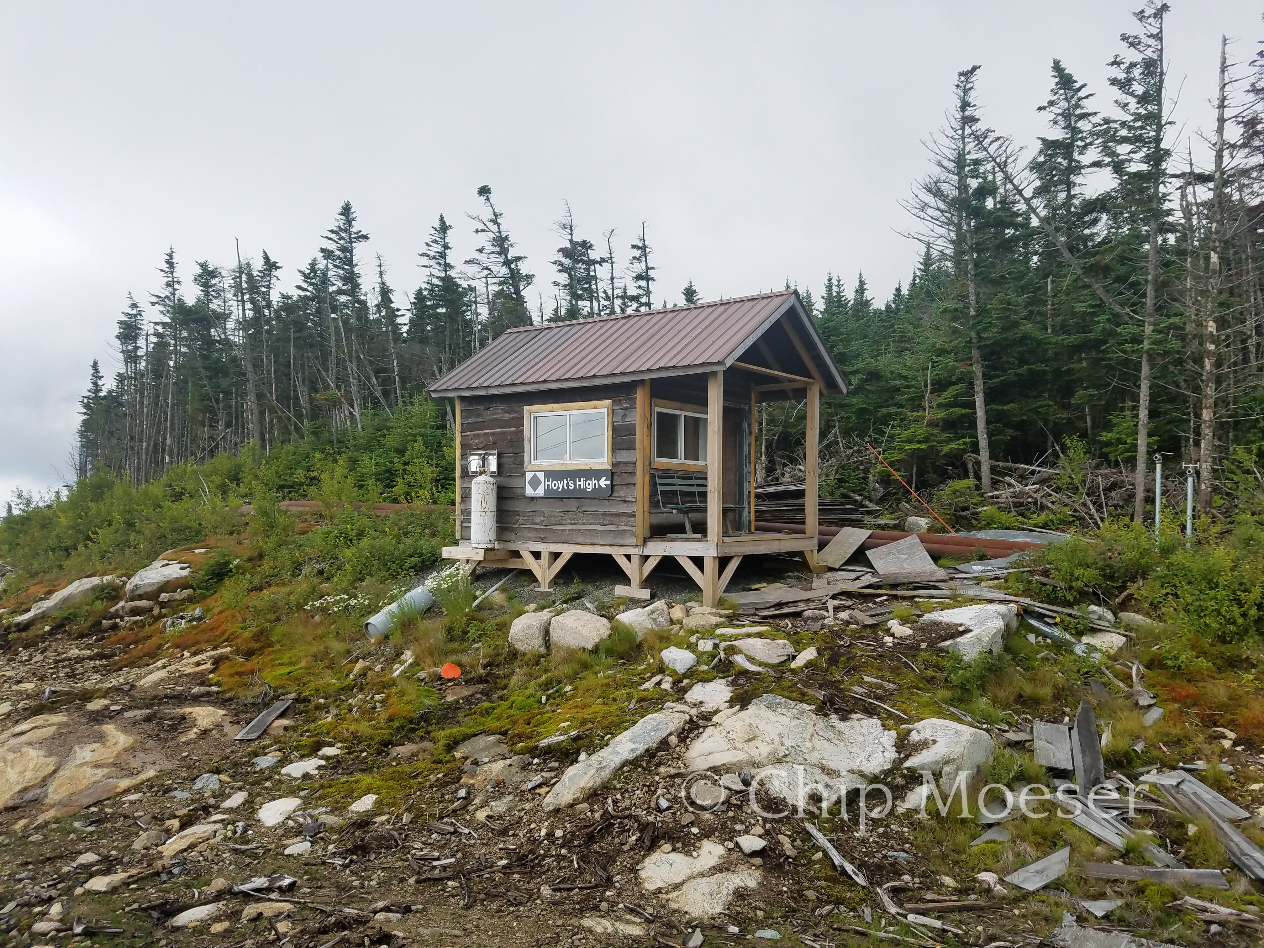
Today I passed through the Olympic Training Facility at Mt. Van Hoevenberg in Lake Placid. I enjoyed it a lot. It’s so cool to be on a hike that passes through so many different and varied places. There are mountain bike trails here, biathlon courses and bobsled. For $75 anyone can try out the bobsled track. A bit steep for me but I enjoyed hiking around and up it while watching the tourists zoom by.
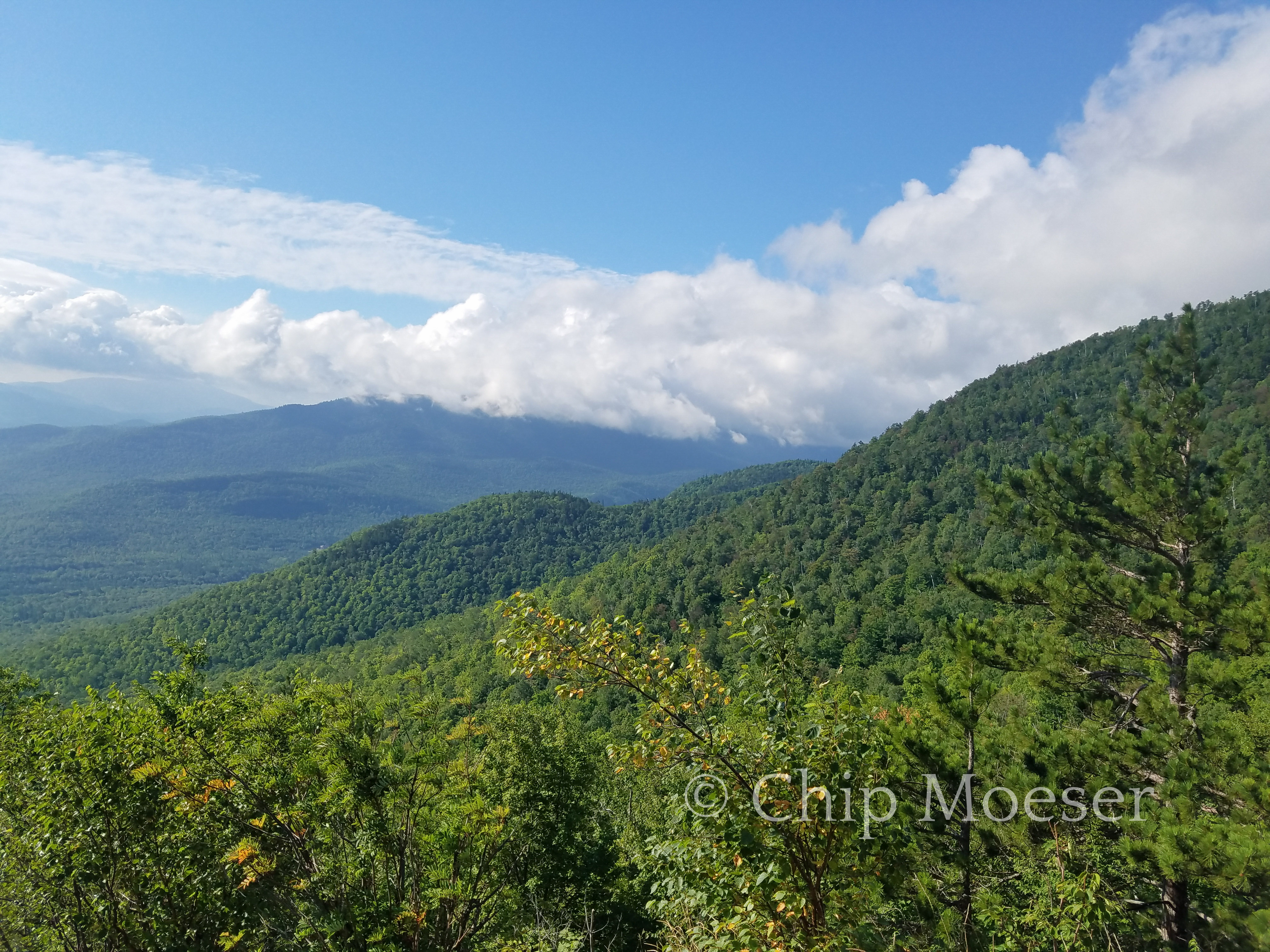
The views from the back of Mt. Van Hoevenberg are some of the best on the Trans Adirondack Route. You can get a unobstructed view of many of the High Peaks including Mt. Marcy. Simply amazing.
Olympic Training FacilityBobsled trackLooking north over the bobsled tracksLooking north over the bobsled tracksLooking south from Mt. Van HoevenbergSouth Meadows at base of Mt Van Hoevenberg
I awoke in my tiny clearing in the middle of the bush.
I was feeling a little better from some rest and rehydration. The puddle I had camped next to was nearly dried up. I wasn’t expecting that. I dug into the middle hoping that at least some water from underneath would resurface. No luck and the water left was just a bunch of mud which wouldn’t settle. Luckily I filled my Camelback the night before. I hoped it would be enough to get me out.
I was able to get a better signal now that I was on the south side of the mountain. I decided I would use the terrain overlay on Google Maps to try and navigate my way over and down several ridge lines. Tired and not very excited about bushwacking I forced myself to begin. The going was slow and painful but using the terrain overlay on Google Maps I was able to make progress closer to the river where I was eventually supposed to come out.
After about 3hrs of exhaustive bushwacking I came to a clearing. There was a lot of very tall grass and I surmised there was likely water somewhere in there. I stepped carefully in and as I had guessed there was water. I’d have to go around and worse it looked like a uphill on the other side. Very disappointed I set out to whacking around the clearing. As I got to the other side, I once again tripped. This time a fell right onto the grown over road I was looking for. 24hrs later I literally fell out where I was supposed to be.
The road was sunk by beaver activity and it took some more bushwacking but I finally had made it out. Exhausted and quite beat up, my “survival situation” was now a “hike” again? I seriously needed some comforts so I called the Adirondack Mountain Club to see if they had any space at their nearby Loj. They did! 1 tent site left.
When distance hiking after a bad day, the next one is almost always better.
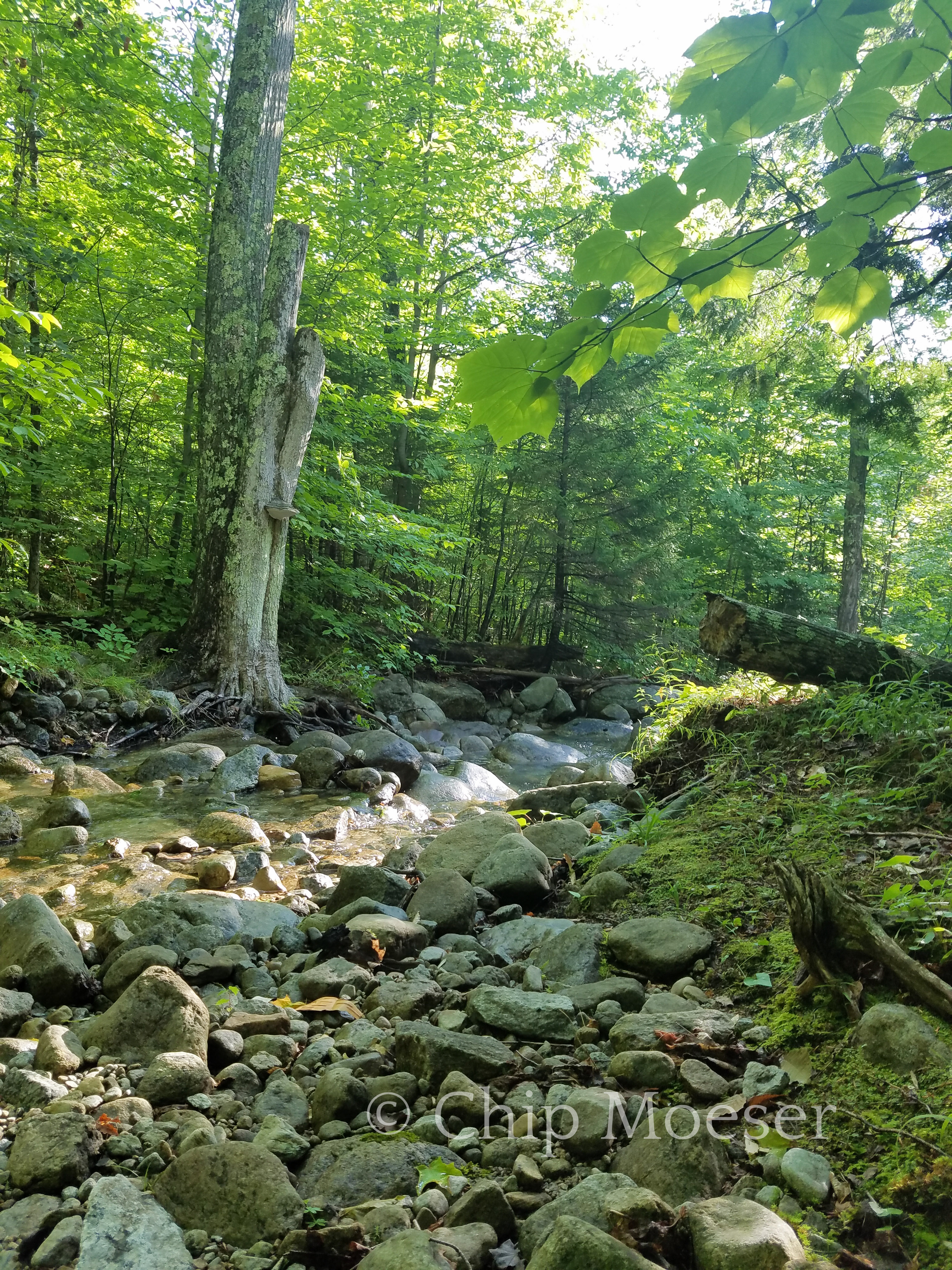
River Road Sentinel RangeRiver Road Sentinel Range
I awoke this morning with a pretty positive outlook. I had summited Whiteface yesterday, made it up and down with a full pack and managed some food as well. As I thought about the day ahead I knew I had a few miles to go out of the Whiteface Landing area, I would then have a short road walk of about 2 miles, where I would be looking for the cross country ski trail which would end at some point and there would be a short bushwack to a road. Then I would summit the last mountain peak of the route, Mt. Van Hoevenberg. I had planned a stop at the Adirondack Mountain Club’s Loj at Heart Lake after the mountain summit.
I was in a joyous mood as I began my hike out of Whiteface Landing. I playfully thought of myself as on a otherworldly journey through a mystical forest to get to the magical Ho (Mt. Van Hoevenberg) by lunch time.
I reached the cross country ski trail which lead to the South Notch of the Sentinel Mountain Range by about 9:30 and thought to myself this is great, if I could get through this and to the foot of the magical Ho by noon, I’d be in great shape.
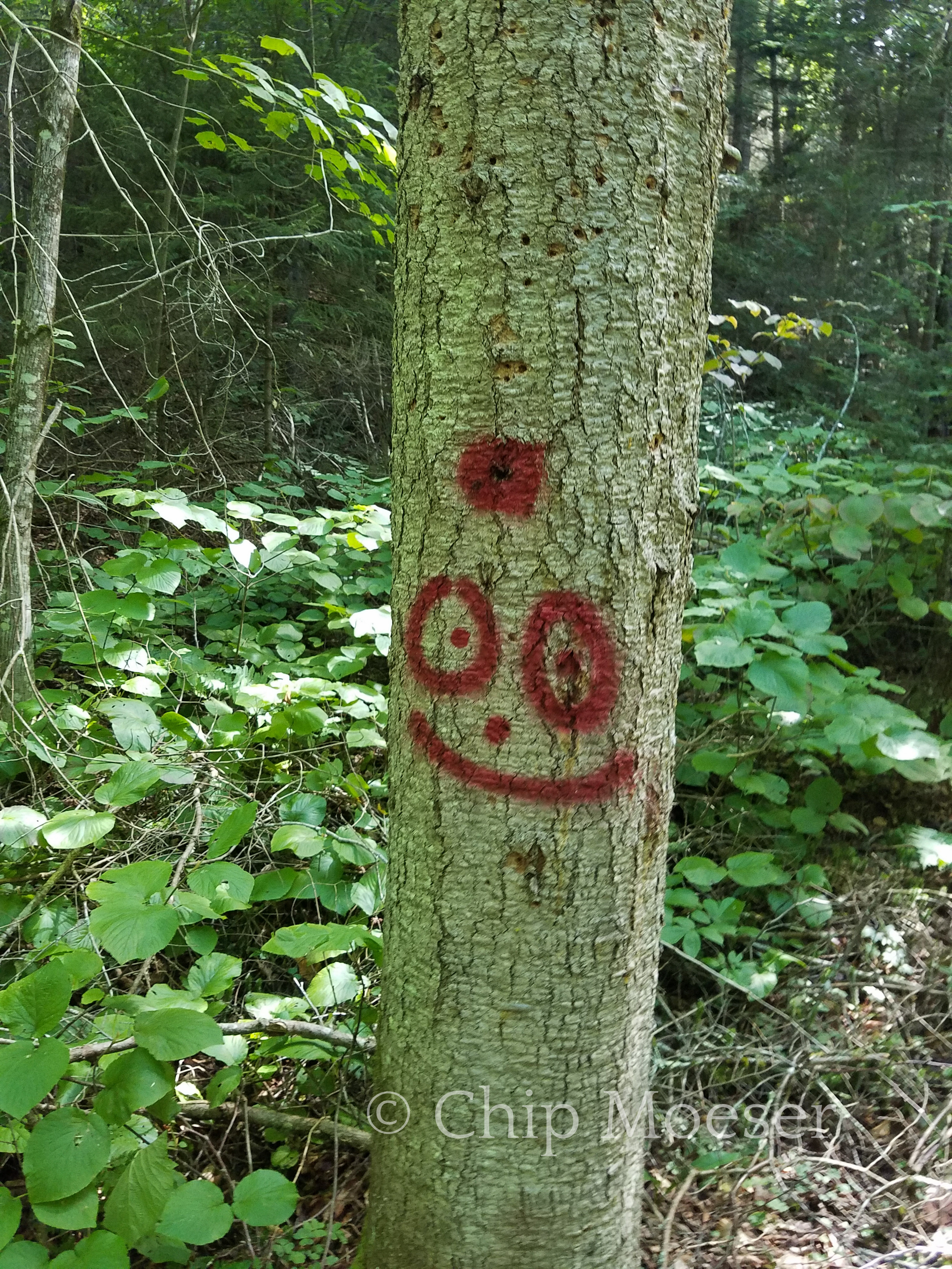
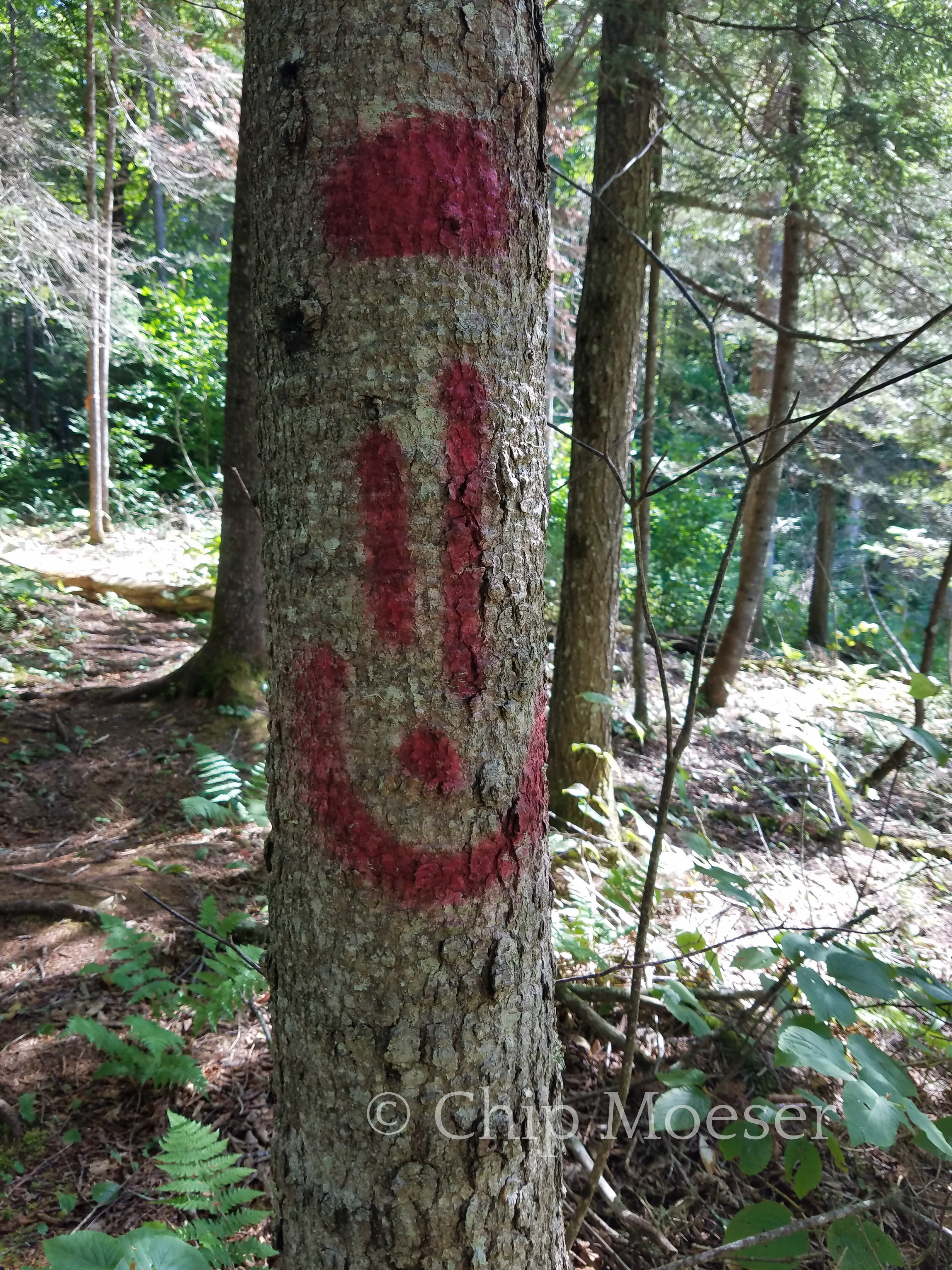
Use of the cross country ski trail by hikers had been negotiated by the founder of the Trans Adirondack Route since it crossed private property. As I entered the trail is saw a man with his dog and my first thought was I would have to explain myself. He said a bright cheery “Hello”, I replied and continued along on my way. The trail was pretty easy to follow and was very spot on as described in my guide book. Some trees were even marked with spray painted smiley faces, despite environmental concerns I was pleasantly amused.
I knew at some point the trail would end and I would have to begin a small section of cross country or off trail/bushwack to get to a dirt road where the trail head was.
Which clearing is this?
I had passed through several clearings and was stopping pretty regularly to reread the guidebook and make sure I was on track. I had also studied this section on Google Maps. I came out on a clearing where the brook I was following passed through. The trail seemed to just end. I referred to the guidebook but became unsure if I had the correct clearing or if perhaps I was a little ahead of myself.
I checked Google GPS, the TransADK route map, and knew that regardless of what happened to the trail, I could meet up with it at the head of another brook due south from my current position. I also knew that if I could not find the trail at the head of that brook, my final destination was a road a bit further south from the brook at the outlet of a small stream.
Although i did not enjoy the bushwacking a few days prior, I had a new found confidence in my ability to navigate off trail and set out to make my way to the head of the next brook using my compass and GPS.
Google GPS will work pretty much everywhere out here, regardless of cell service. Just one catch, although it is pretty spot on for showing you your location, if there is no cell service it will not show topographic information.
I set out bushwacking keeping the first brook to my right/west side and making short dashes east to continue looking for the ski trail I had lost with no luck. I reached the end of the first brook and set out west to try and find the trail at the head of the next.
The work was laborious and exhausting but with the help of GPS and my compass I eventually reached the head of the second. It had taken almost 3 hrs. And still no ski trail. I knew I’d have to continue on to try and meet the stream and road with the trail head.
I tripped and fell many times, once falling face first. The ground was somewhat soft, for a slit second it didn’t hurt too bad then the weight of my package smacking down on me knocked the wind out of me. Stunned I pulled myself up and could not believe it but there in front of me was a human boot print. The trail lasted maybe 10 steps then quietly disappeared into the brush as quickly as it had appeared.
As I pressed on it realized I was quickly running into a mountain. It certainly wasn’t the highest climb I had seen but it was very sizable and given the amount of extra work it takes to travel off trail, uphill was not a challenge I wanted. I weighed my options. I had worked so hard for hours to get here. Turn around and go back? Or Bushwack up?
I knew that brush on the north side of the mountain was likely denser as it gets less sunlight. I also knew that though thicker near the summit, there may be some degree of clearing at the top. At the very least, if I had to call for help having the high ground seemed a good plan.
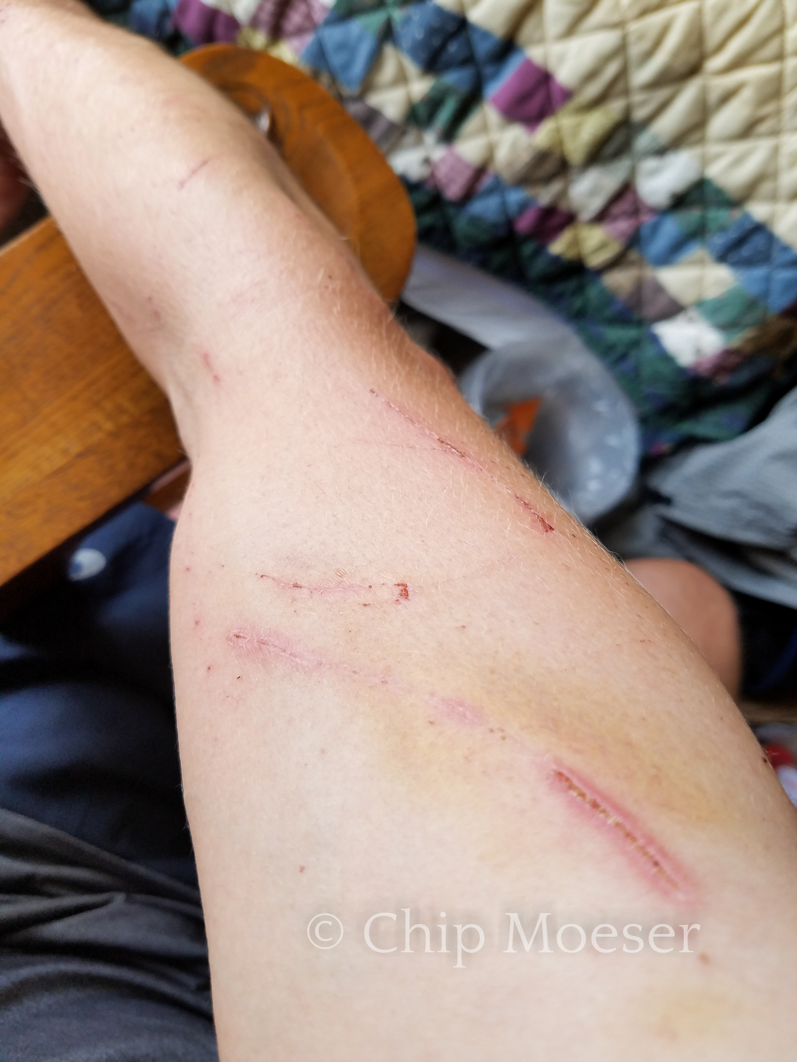
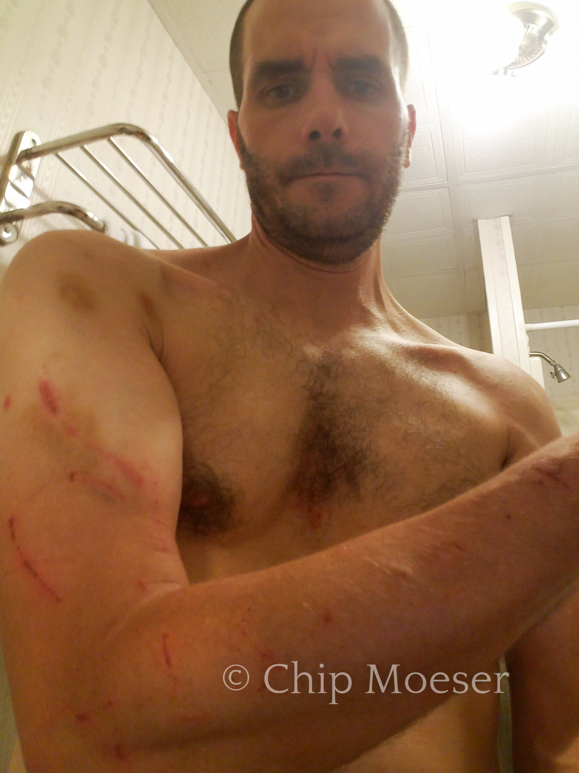
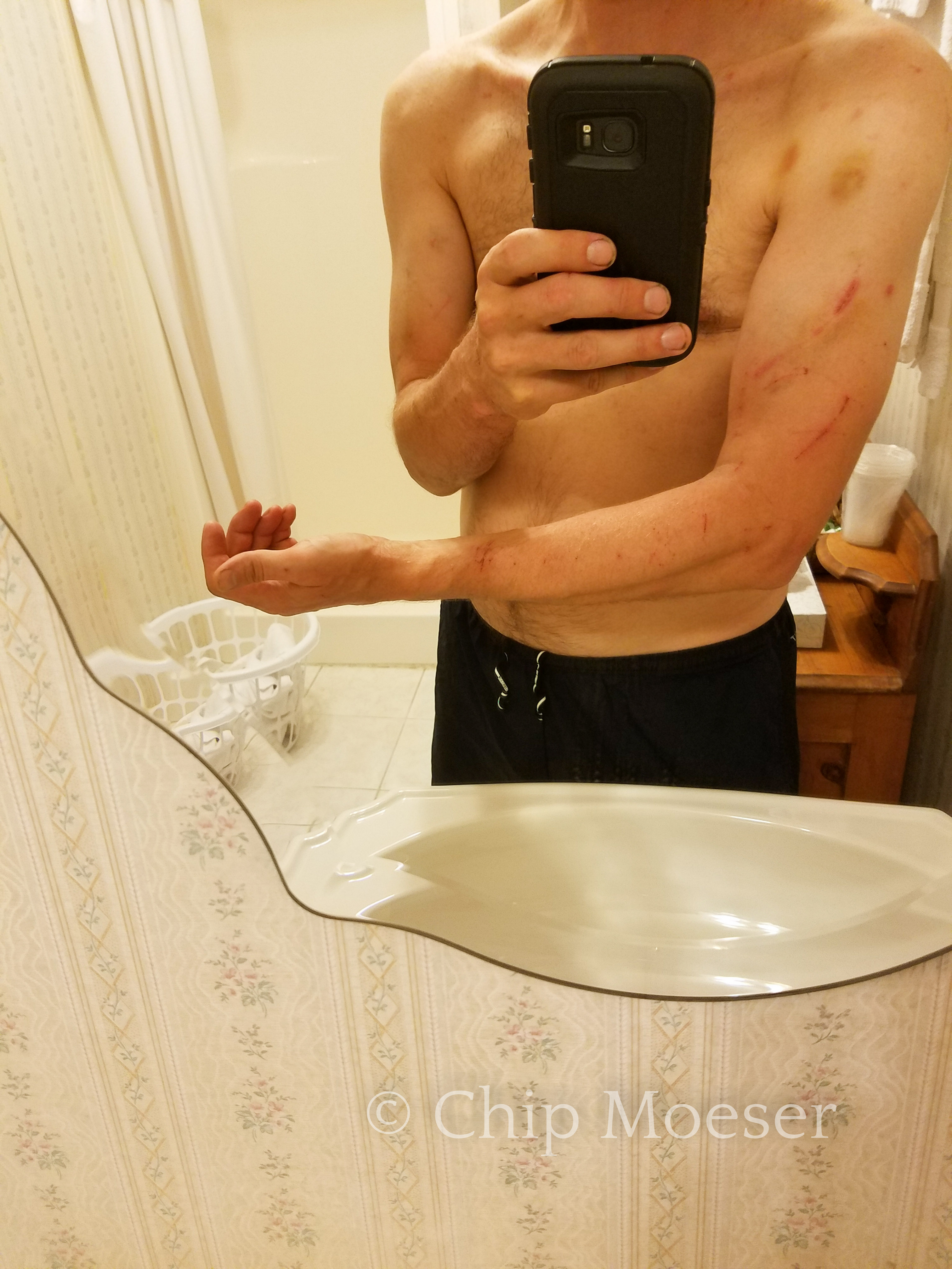
So I made the decision to press on and work my way up the mountain. I was drenched head to toe in sweat. Fortunately I had my long pants and gaiters on but I was wearing short sleeves and my arms were taking hundreds of tiny cuts, some not so tiny and some pretty bad bruises as well.
I had another problem, I was out of water, with the drought here, and heading uphill, there were no water sources to be found. My lips were going numb and I knew I was getting very dehydrated. I hadn’t hardly eaten either and the thickening brush seemed to take strength from me with every push forward.
I was noticing a increase in the amount of bear scat as I ascended the mountain. I took note, but wasn’t too alarmed just yet as most bear encounters are more likely during dusk or dawn. It being only 3pm I figured it was just best to concentrate on making forward progress.
Are those bear dens?
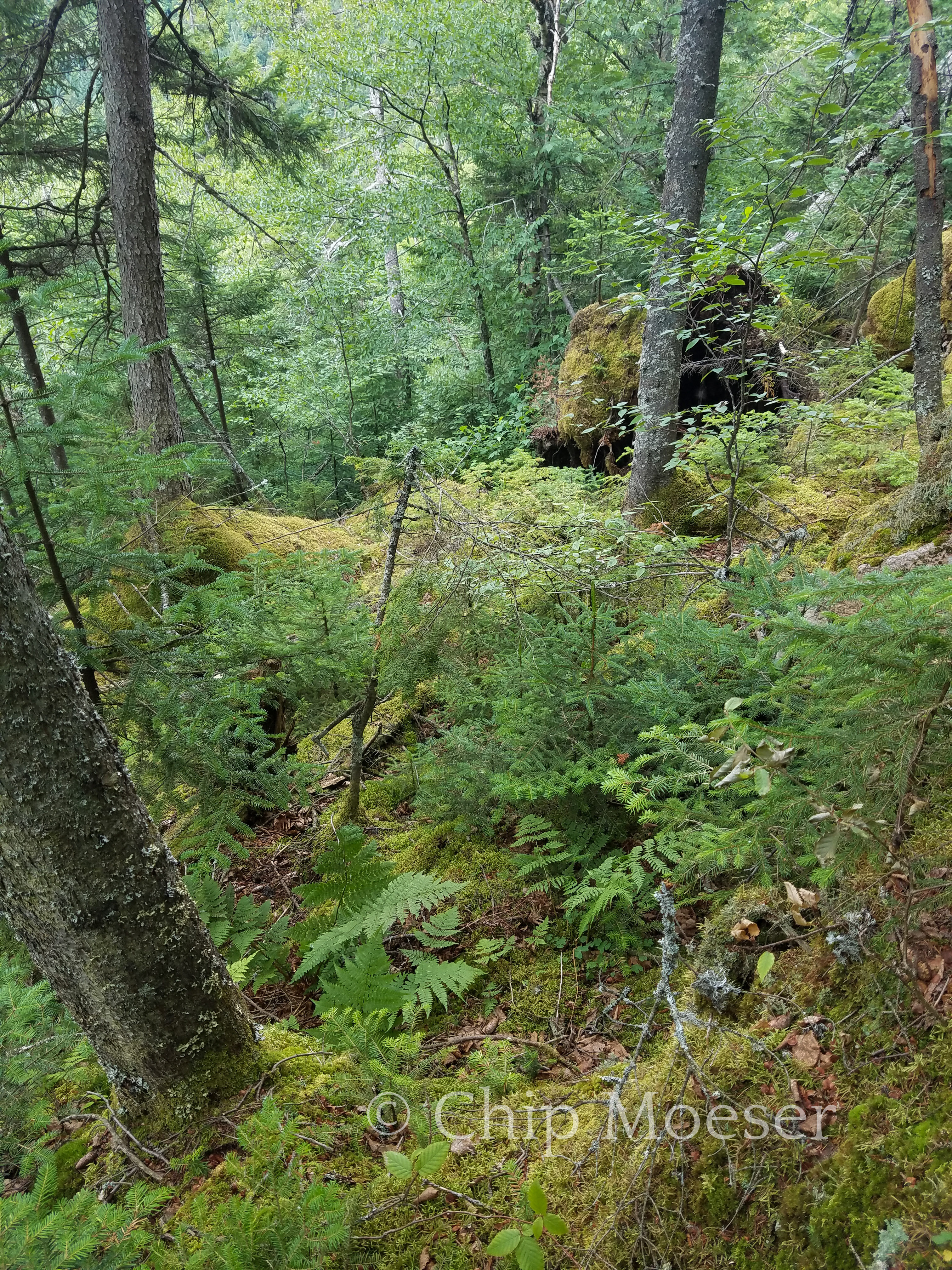
I continued on and estimated I was about 3/4 of the way up the mountain. Things began getting thicker and rocks and the bear scat increased. As I reached what I determined to be a very large ridge, I noticed caves in the densely Moss covered rocks. It dawned on me, umm are those bear dens? I was fairly sure of it.
I had reached a wall of rock with no way around, and seemingly no way over. I cautiously crunched and climbed my way to the left and found a pretty big drop into a brush filled ravine. I made my way back to where I had come upon the cliff and checked to the right. Still no visible way up or forward. As I was crawling across the rocks Moss dead rotting trees were crumbling in my fingers. It seemed nothing was solid enough to grab a hold of and at one point my foot sank through between some rocks and I dropped in a crevice to my waist. Had I just dropped in on a sleeping bears roof? I didn’t wait to find out and pulled myself out as quickly as possible.
What now? I was stuck. Continue this madness until I fell into a cave and was truly stuck? or worse bear food? Go back and loose all of the progress in had worked so hard for? I was stopped on a ledge barely wide enough to hold me not knowing if my next step was my last.
I felt I was for the first time in my many wooded experiences in very serious trouble. Things had previously seemed serious such as when trying to descend a steep mountain with a full pack, but those situations seemed obvious now, keep the course, slow, careful, steady and eventually everything would be fine. Things weren’t so clear cut here. Should I call for help? Turn around? To say I wasn’t afraid wouldn’t be completely accurate. I knew though, if I did let myself become even nearly as afraid as I should have been at that moment the situation would fall apart so quickly I’d surely not get out of it. So despite all I put fear aside and forced myself into a circular path of analytical decision. I spent the better part of a half hour trying to decide what to do. There was a small ledge on the rock above me about 1 foot taller than me, where my pack would fit if I could get it up there, but with the pack there, where would I go, even it is could find a way up onto it.
Also I couldn’t see more than a few feet past this ledge. What I could see was though getting up 7 feet or so may have been the difficult part but things weren’t going to get easy from there. Would I do all of this work just to get stuck higher up?
The move that defines you…
I knew, or at least I felt this singular point in time was a life defining decision. I lifted my pack over my head and onto the tiny ledge. Great, that wasn’t too difficult but how to get myself up there? There was 1 small tree close to the edge of the rock but at the rate things were soft and crumbling I had no confidence in its ability to hold my weight. I took the most solid branch I could find and wedged it to use as a step. I grabbed at the Moss on the rock above me, clawing for life, digging into moss with my finger tips, trying to use the one tree without pulling it out, and pulling myself up. I had done it!
I thought at least i have the high ground on the beard right? But no, more bear dens. I thought to myself, really? Ugh. what kind of bear wants to go pushing through this muck all night then come home and have to crawl all the way up here to get home?
I had done it, got up on the ledge, but the work was far from done. I spent the next half hour with my pack off, pushing it one step ahead of me through tiny openings in the brush then pulling myself up through after it. Up over rocks, Moss, rotting trees and debris.
Finally I had reached the top. Things didn’t get a whole lot better. It was still pretty thick and getting across and down to the road looked like it could be a full days work, maybe more.
I was flat out of energy. I just kept thinking if I can make it to some water I’ll get through this. I pressed on, making painfully slower and slower progress. Then, there it was, just through a tiny clearing, a pretty sizable puddle which looked to be fed by underground runoff from the top of the mountain. It wasn’t much but it was certainly enough to hydrate me. I treated the water with tablets and waited the 30 minutes for the tablets to purify the water.
This is now a survival situation?
As I sat waiting I started to assess my situation. What to do next? I had determined this was no longer a “hiking situation” but had now become a “survival situation”. I was still relatively calm. I thought to myself I have all of the tools I needed to survive. More than most people in survival situations on tv. I was essentially completely prepared to spend the night in the woods. My biggest problem was just not being able to get out.
I thought about calling the DEC for a forest Ranger rescue. As I pondered what that would look like, I honestly could not see how they could have got me out of such dense brush so far in except maybe a helicopter/basket rescue. Given my fear of heights I quickly decided I’d rather die in this tiny clearing in the woods than be plucked out of the woods in a basket. Besides how dumb would it look when the guy from New York City had a rescue team of how many, a helicopter and a basket take him from the woods while on some half cocked journey to cross the Adirondack Park on foot?
I set up my hammock in hopes that some water, food and rest would be enough to get me out on my own the next morning. Given the bear activity I had seen it wasn’t going to cook a hot meal. I ate lightly some energy bar and a handful of peanuts and stashed my food and smellables in my bear canister several hundred feet away from my hammock.
As I went to sleep in fully expecting to be awoke in the middle of the night by bears attempting to get into my bear canister. I had one advantage, the brush around me was so dense nothing was getting near me without making significant noise.
It was the darkest and the quietest place I had ever camped. Not a single bird, chipmunk or other sound. No wind, no noise, nothing.
Fade to black.
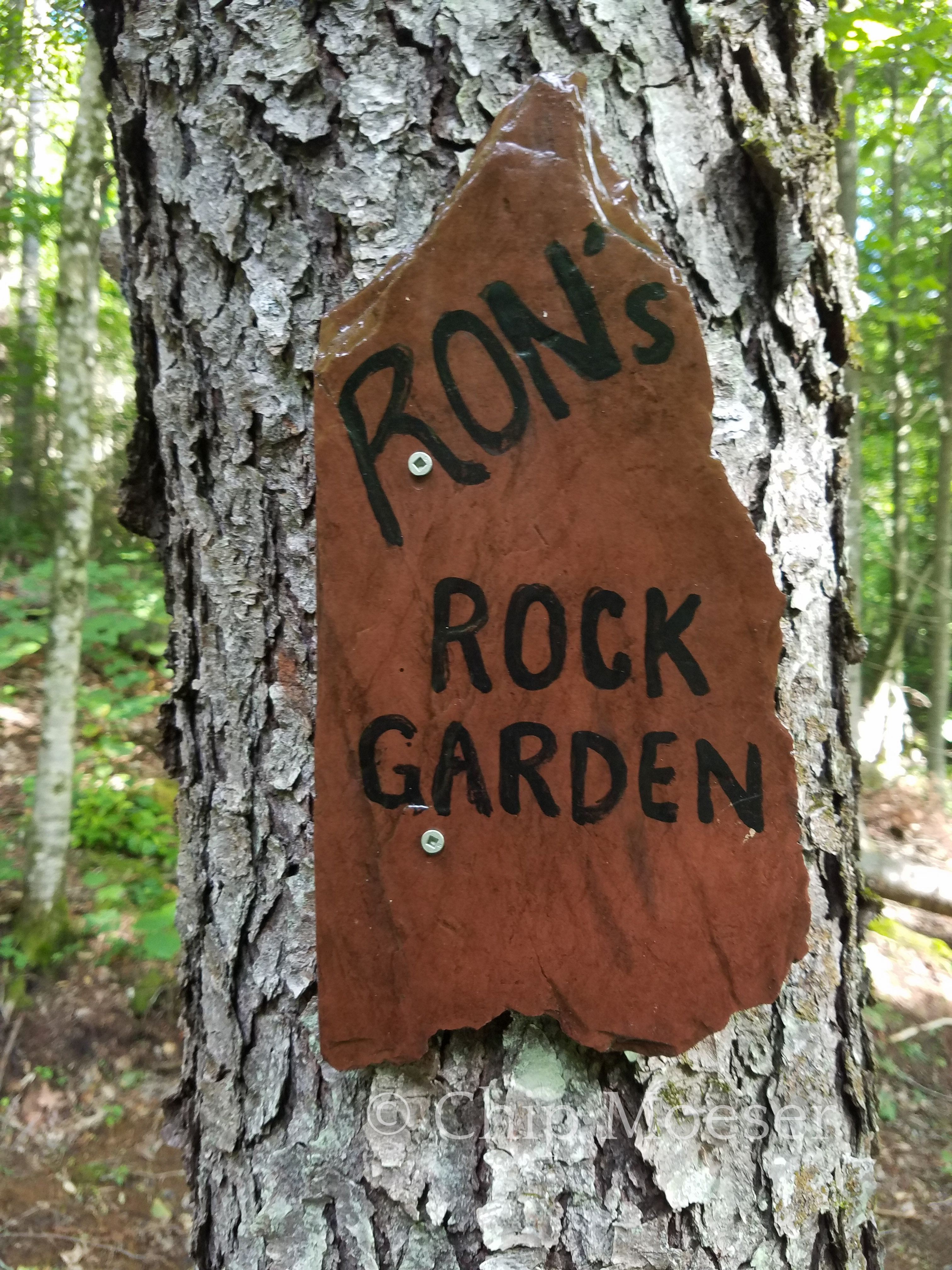
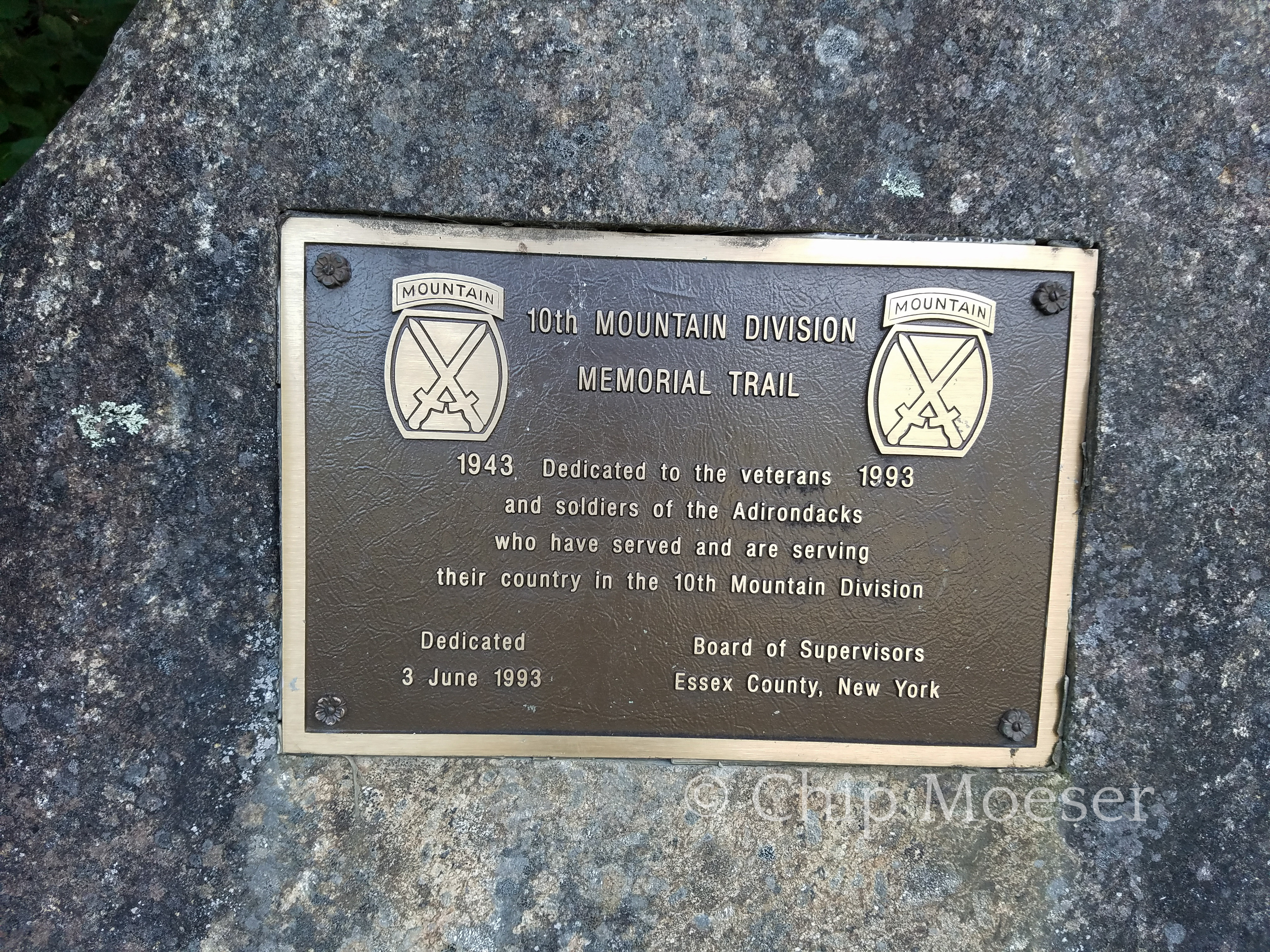
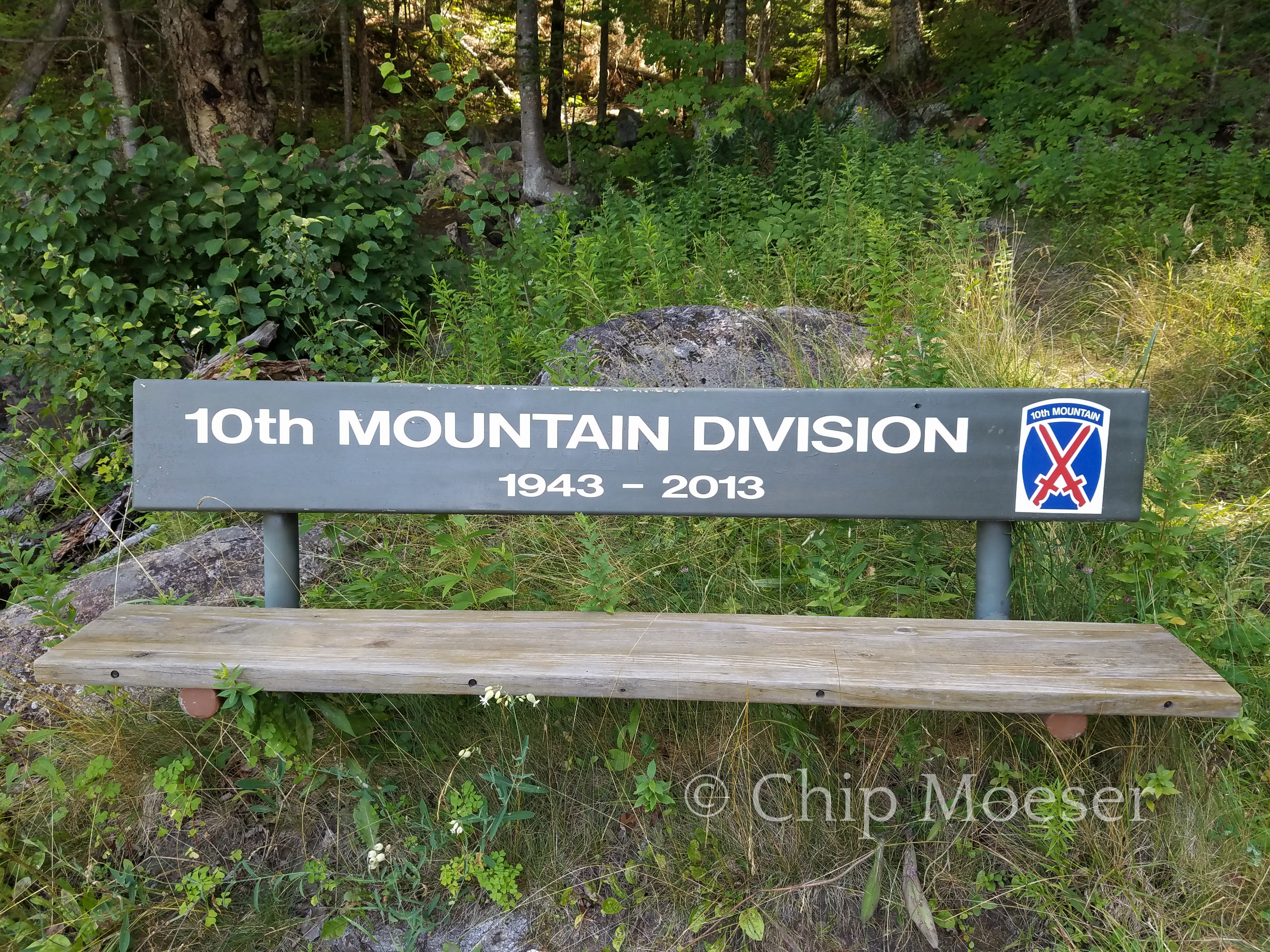
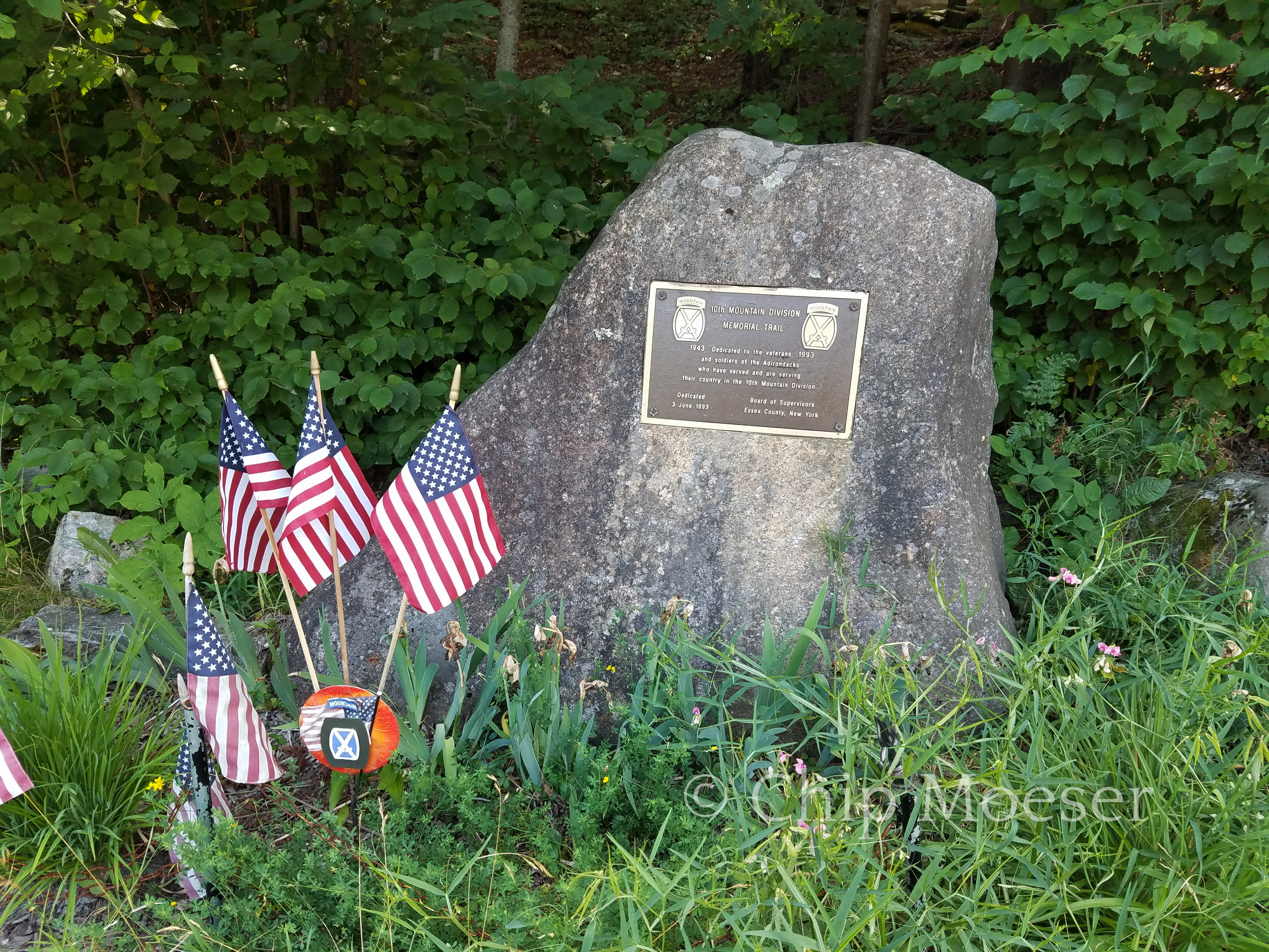
Whiteface LandingRons Rock GardenAusable River10th Mountain Division Memorial Trail10th Mountain Division Memorial Trail10th Mountain Division Memorial TrailSki trail smiley facesSki trail smiley facesSome of what i climbed over. Unfortunately the only photo I took during the ordeal. Trying to save battery.Bushwacking scars a few days laterBushwacking scars a few days laterBushwacking scars a few days later
Today was the second mountain of the route and the only high peak, Whiteface Mountain. I had been to the summit by car the week before but would hike up this trip with a full pack on my back. I had bushwacked Catamount Mountain just a few days prior with a full pack so despite Whiteface being significantly taller I was fairly confident with a good amount of effort and hard work is would do just fine, and no bushwacking this climb!
The approach is would take would be from the north east via smaller nearby Marble Mountain. I set out around 8am. I was looking forward to seeing the remnants of the 1950’s ski area described in the guidebook which dotted the landscape of Marble Mountain. It’s fascinating to see nature taking back land it once claimed as its own.
The trail was fairly smooth but was a pretty tough steep uphill with a fully loaded pack. Most backpackers don’t summit mountains with full packs, instead using a base camp for overnight gear and sumitting with a day pack instead. Thru-hikers or distance hikers tend to have to carry it all depending on their route. There are also day hikers who come out just for the day to summit a mountain or two. I had previously summitted many mountains with a full pack when hiking the Appalachian Trail so I was expecting a good amount of hard work.
As I pressed on slow and steady pairs of day hikers, 20 & 30 somethings whipped by me at breakneck speeds, some applauding me for doing it with a full pack. I eventually popped out on Marble Mountain with a pretty nice view but didn’t stay too long as I knew the prize at the top of Whiteface was the really stunning views but also a restaurant with some much better than backpacking food.
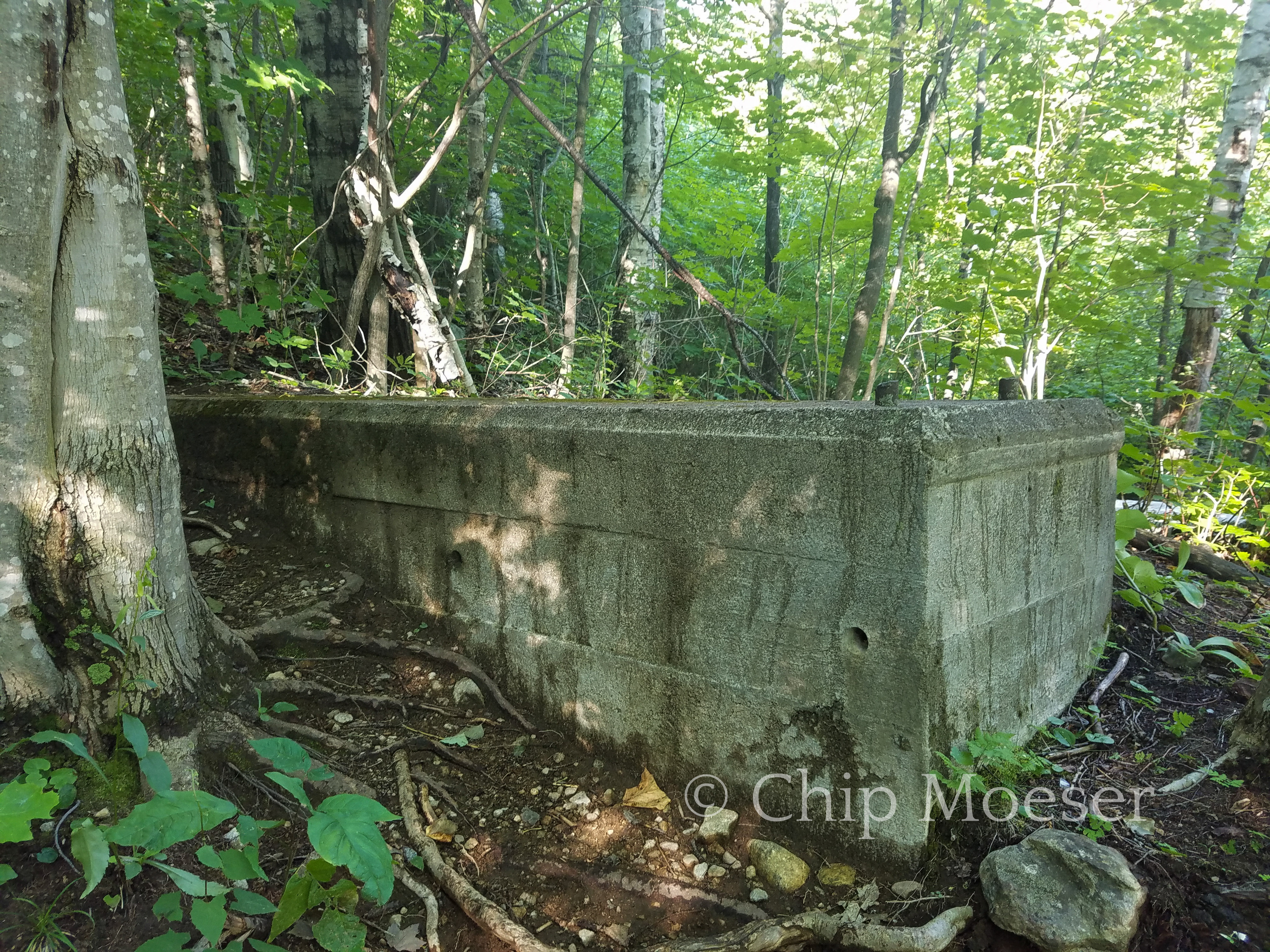
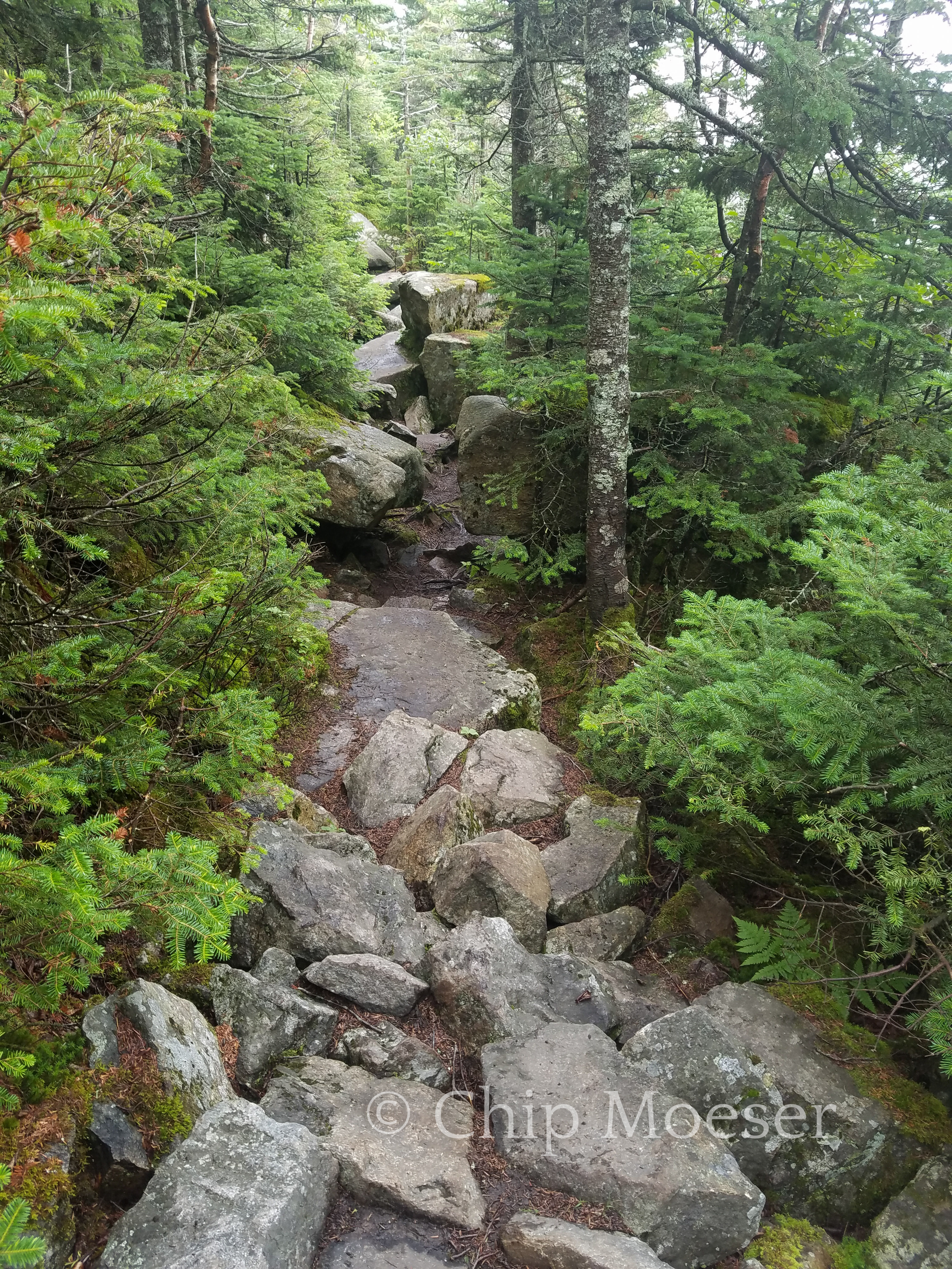
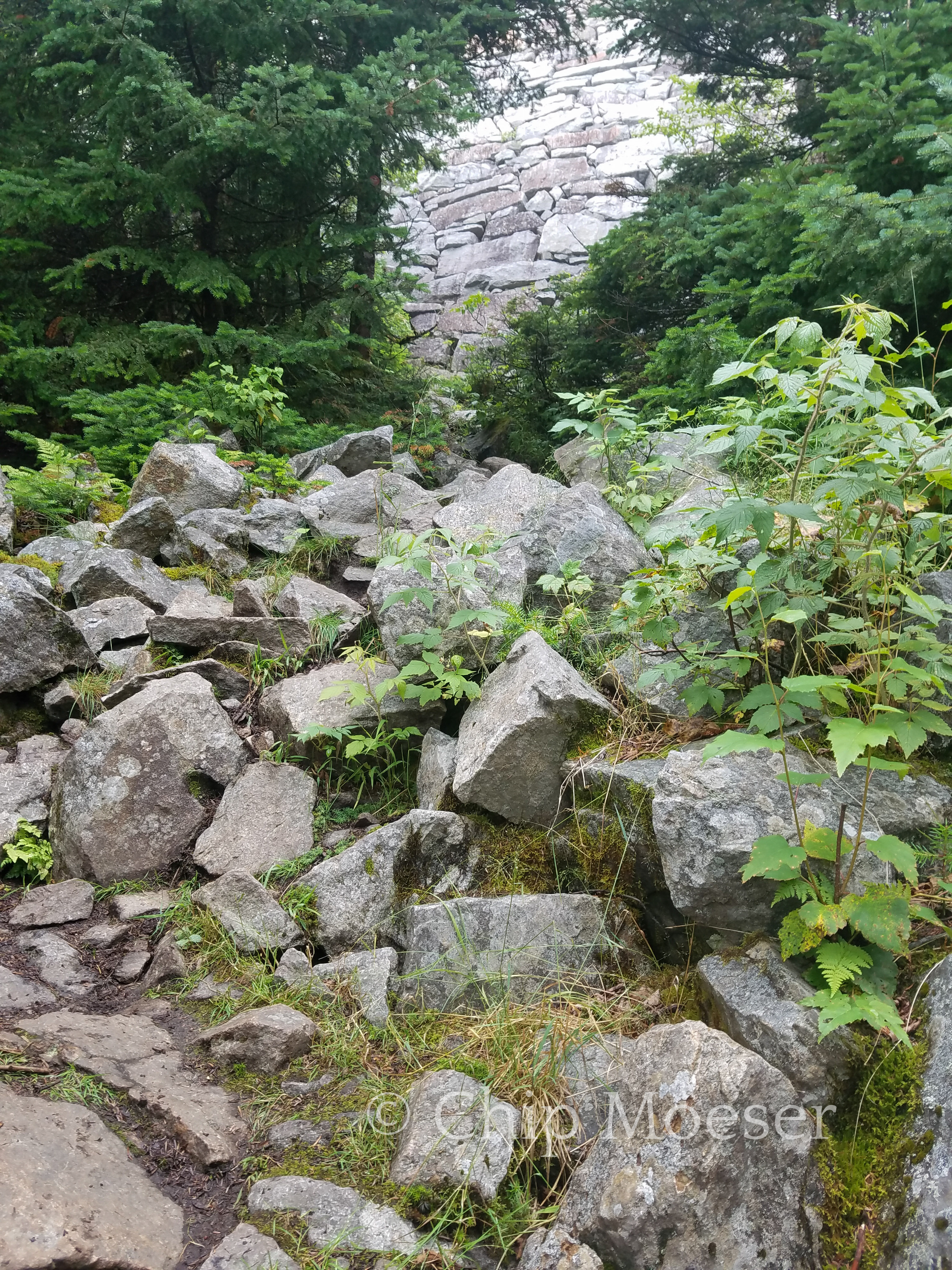
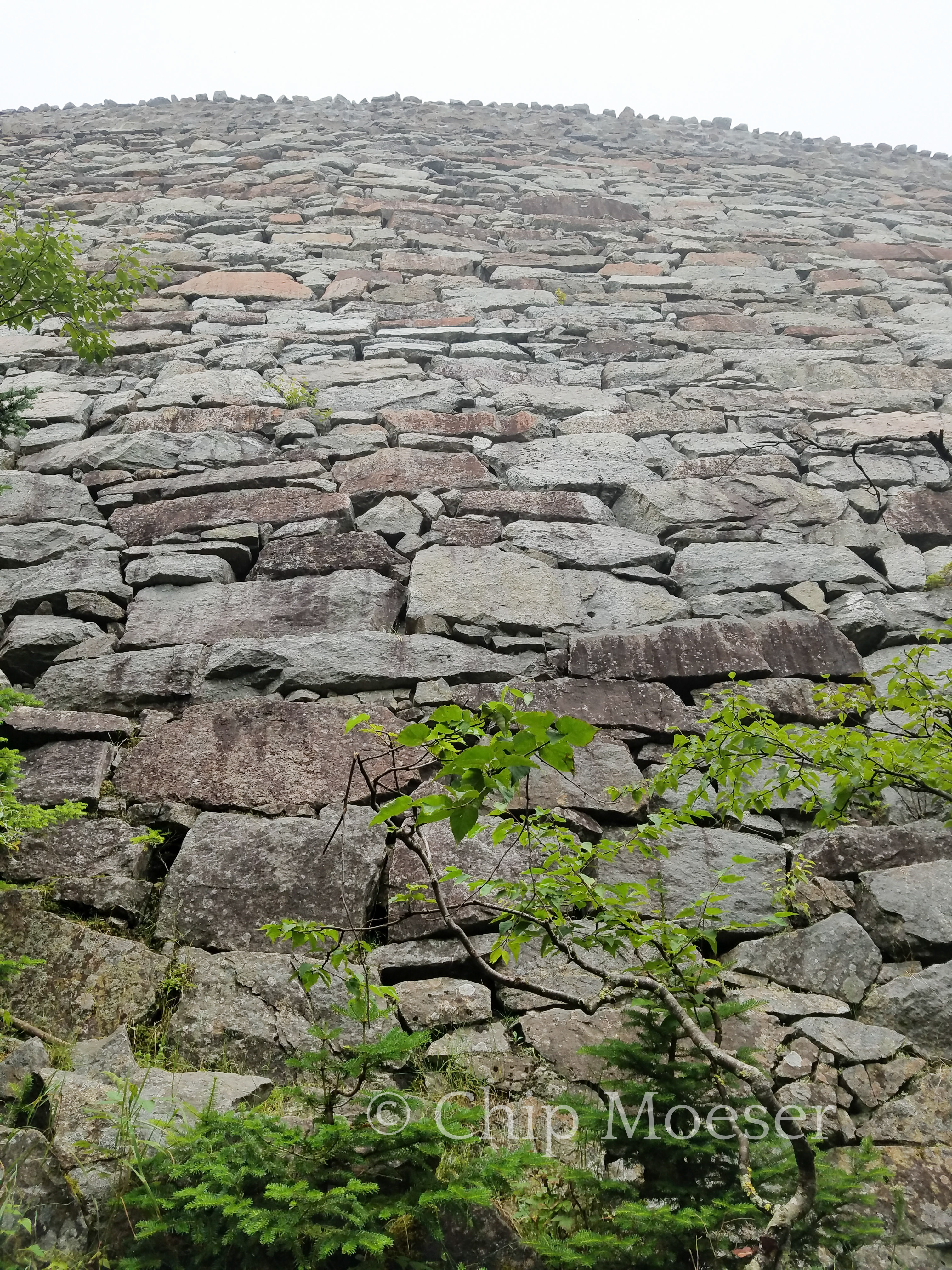
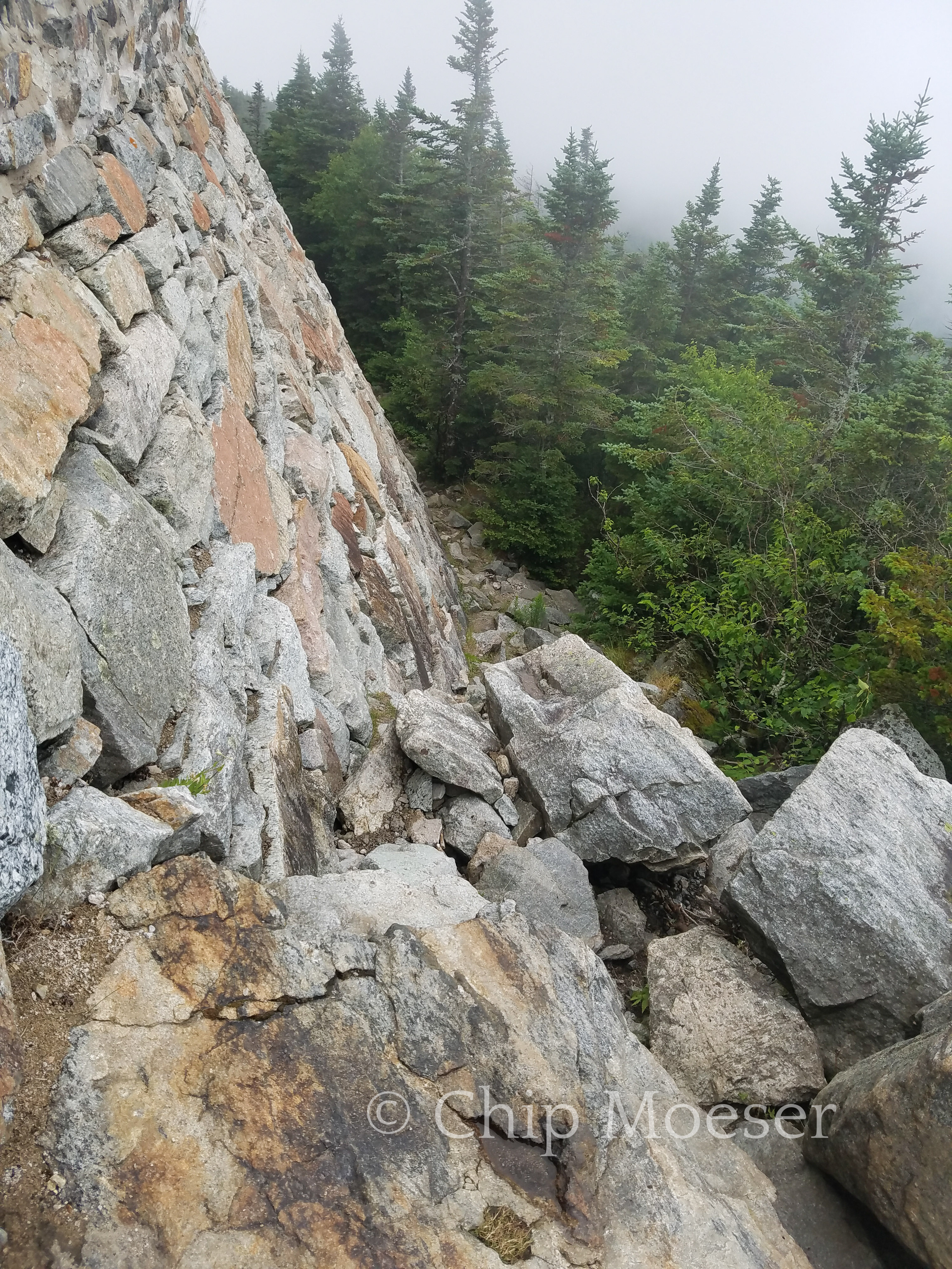
After about 3hrs of work I was about three quarters of the way up. I reached the large stone retaining wall that supported the roadway up to the top of Whiteface. This is where the real hard work began. The rocks increased in size building to larger and larger borders. Hiking turned to scrambling hand and knees over the large borders. It was intensive and required some caution due to the weight on my back, but at no time did I feel in very much danger.
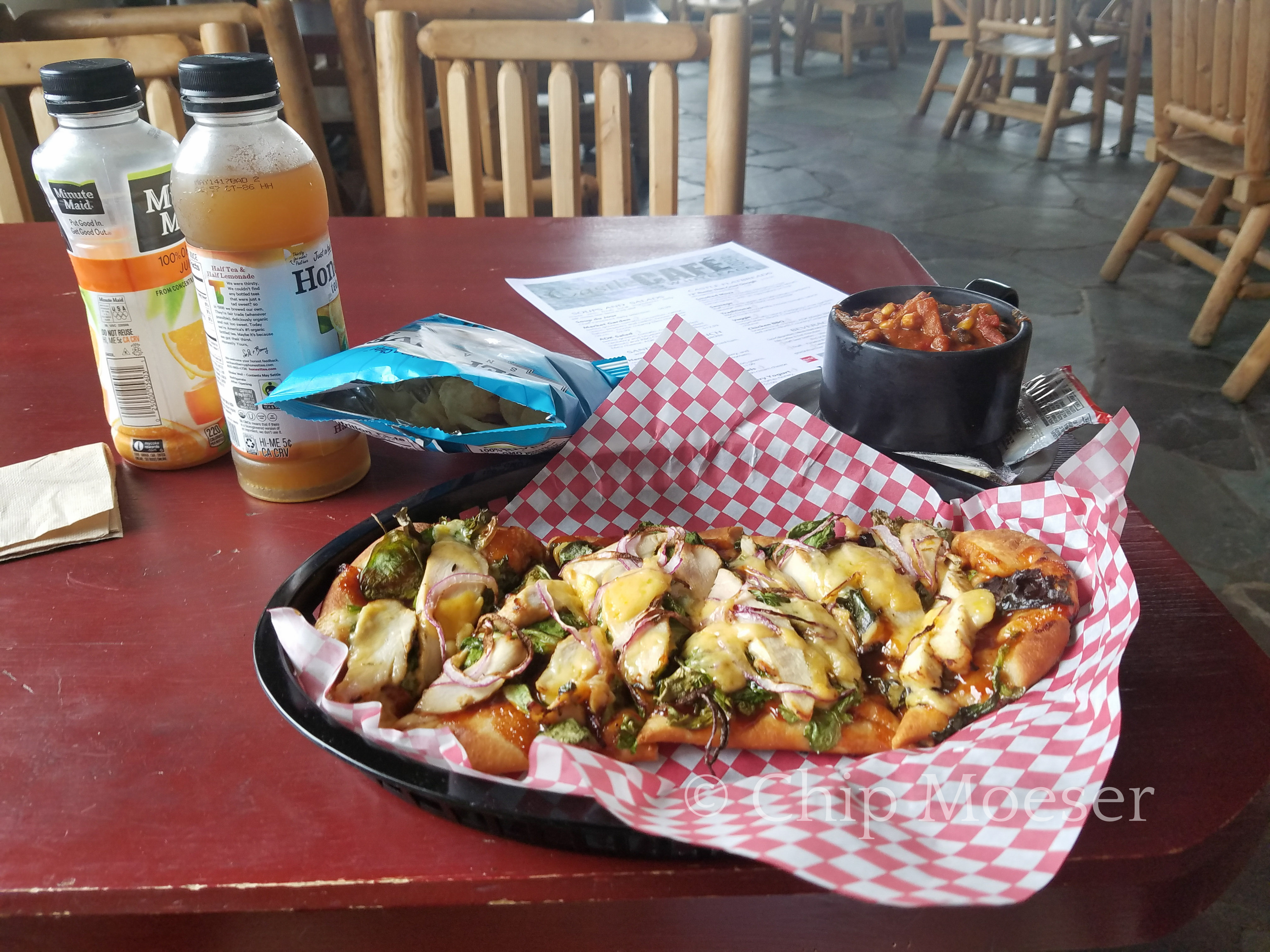
Around about the 4hr mark I had done it. The views weren’t all that great as small pockets of rain were passing through. I wasn’t to disappointed since while up by car the week before I had really great views. I was also looking forward to some good food in the cafe.
I headed to the cafe, ate and rehydrated like only a hiker can. I spent 3hrs there and watched dry inside as several small showers passed by outside. I knew I still had quite the task getting down so when it looked like the weather had broke I made a good for it and headed down the mountain.
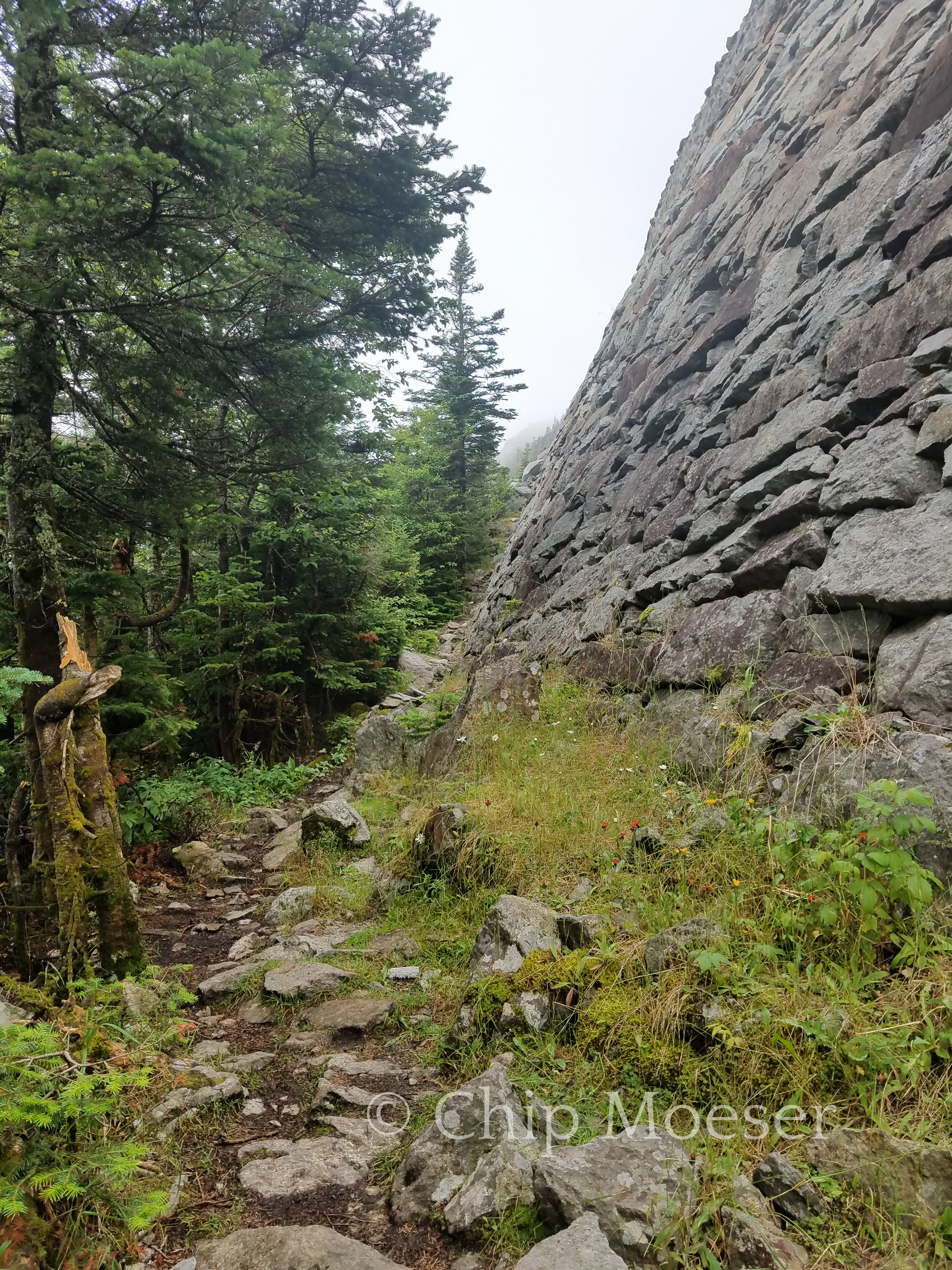
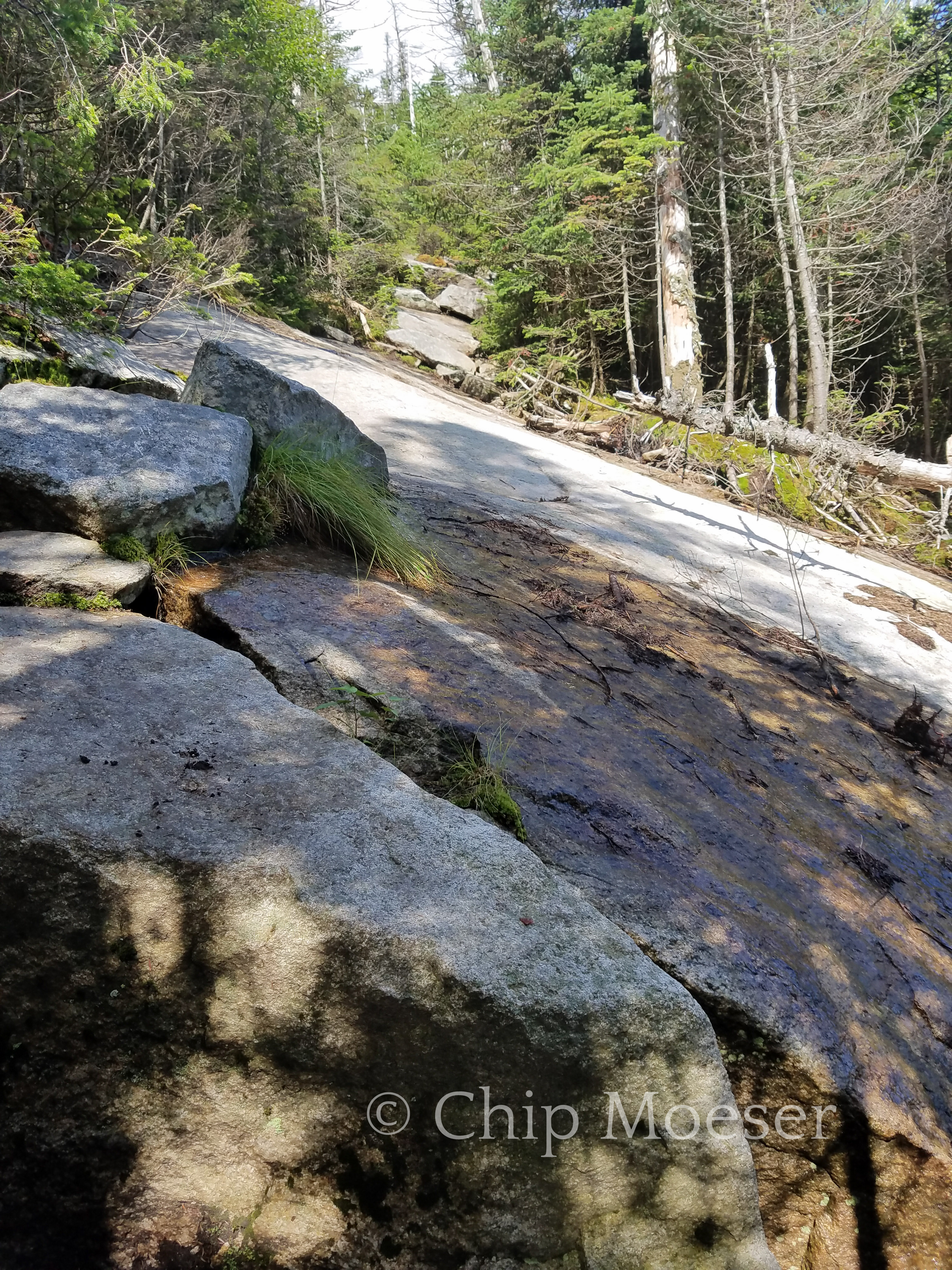
For those not experienced or do not know, going up the mountain may be a ton of hard work but more often than not its going down that is more difficult & dangerous, most especially with a full pack. As I started down things became difficult quite rapidly. Things were a little wet from the passing showers I had waited out in the cafe, but they weren’t too bad. There were several very, very steep inclines that certainly had me moving very cautiously. Navigating these can only be done by doing what I fondly refer to as the ever so not graceful “but slide ballet”. It took nearly 2rs to get through the trickiest areas but once done it was a nice cruise down to the Whiteface Brook shelter where I set up camp for the night.
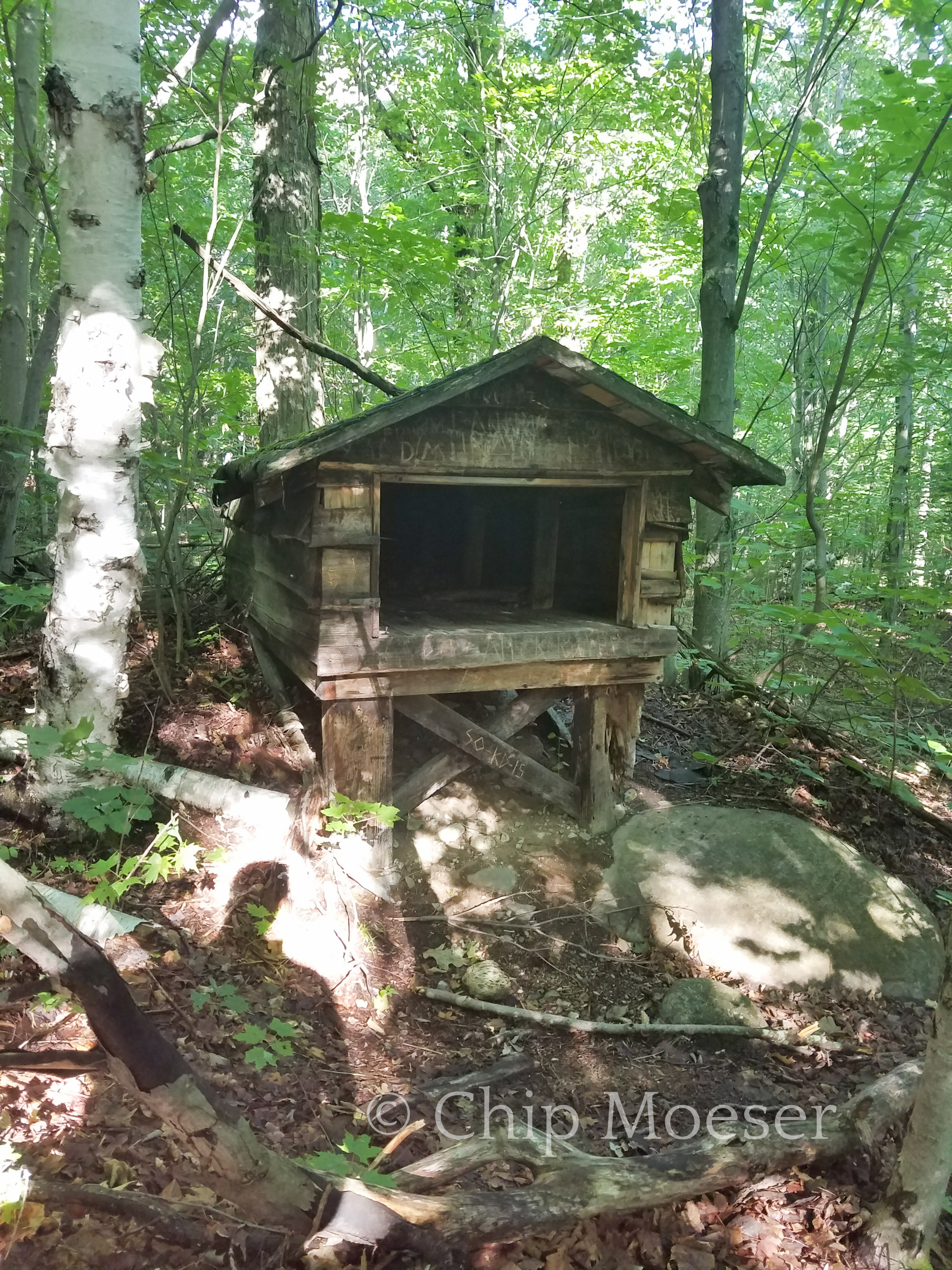
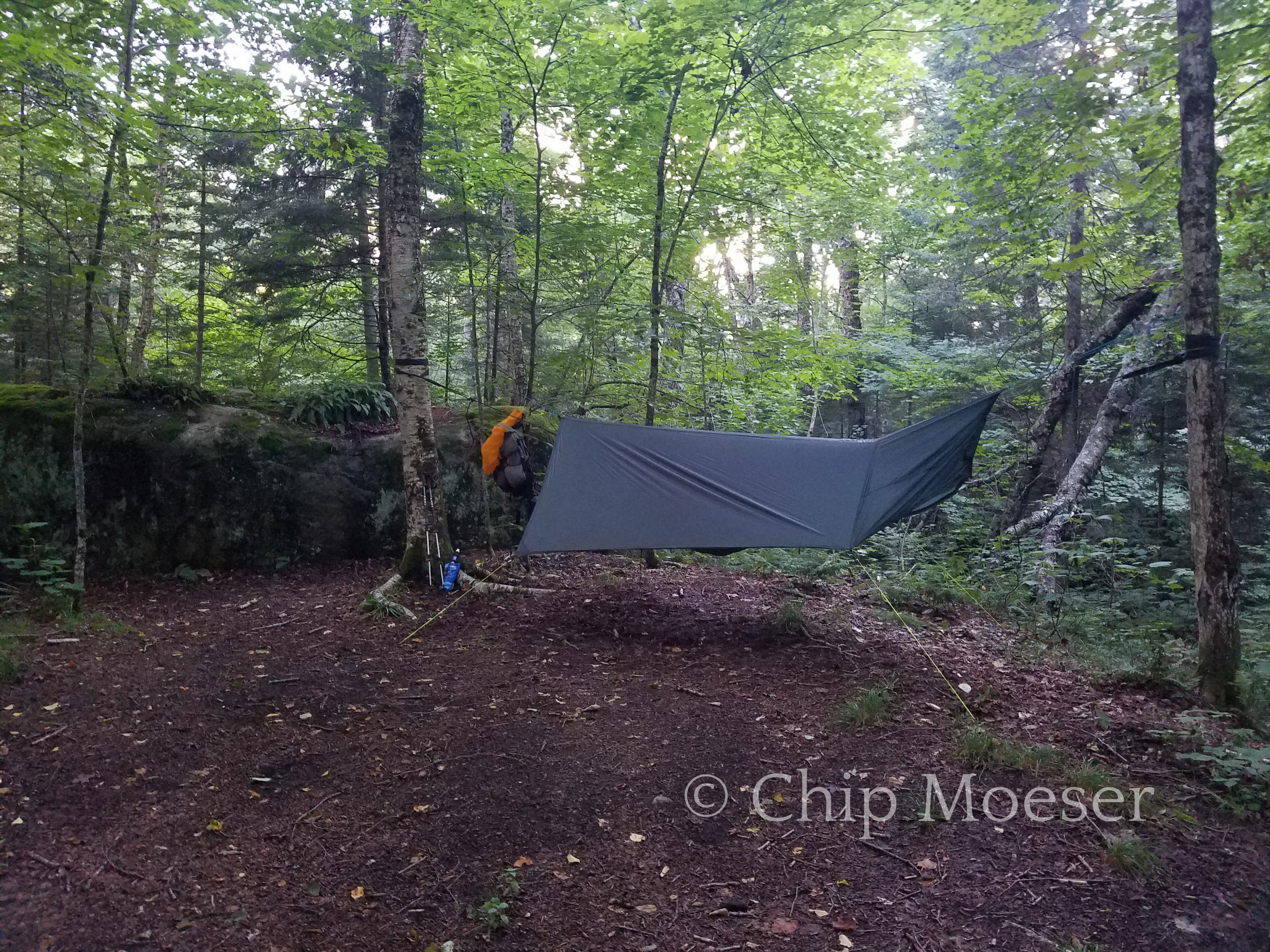
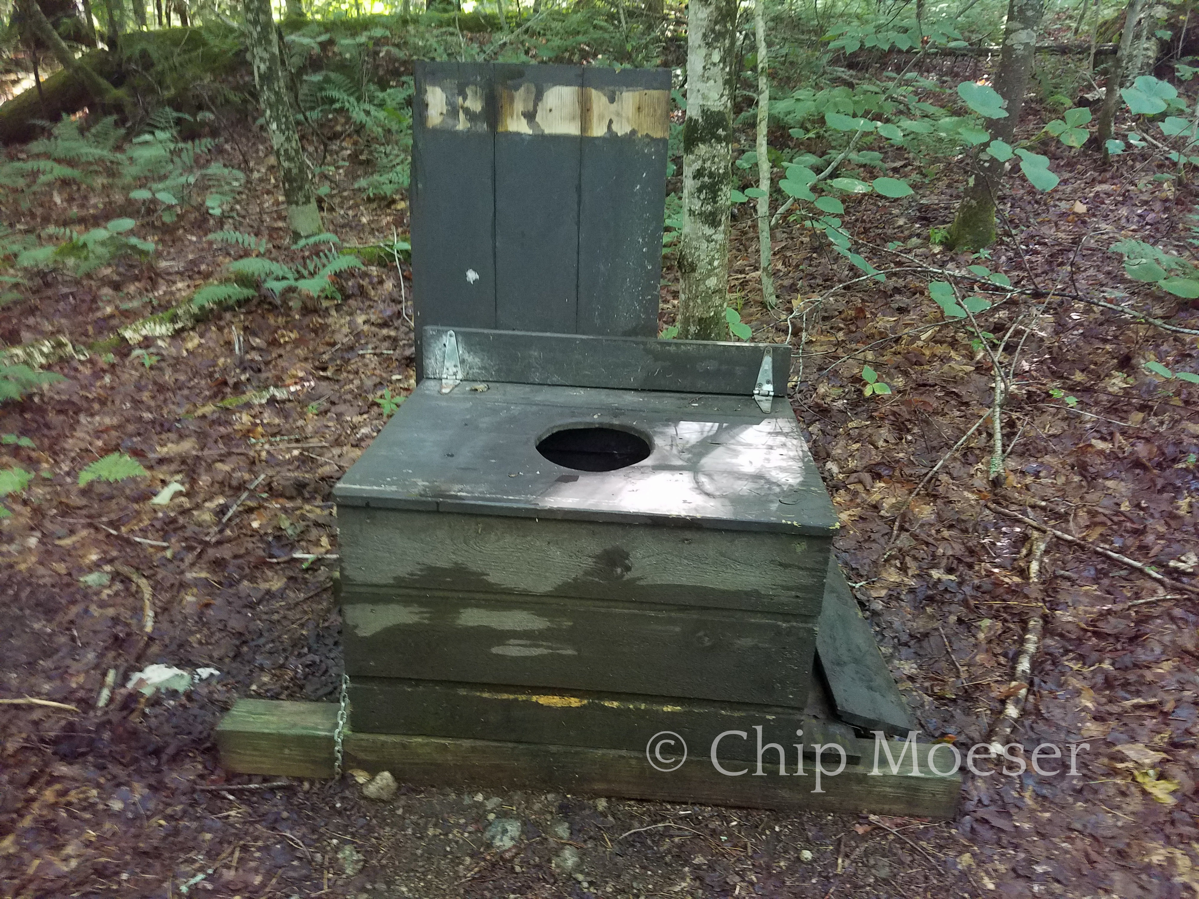
The trail up Marble MountainRemnants of the 1950’s ski area once on Marble MountainRemnants of the 1950’s ski area once on Marble MountainLooking south east from Marble MountainWhiteface ski areaWhiteface ski areaClimbing Whiteface MountainClimbing Whiteface MountainClimbing Whiteface MountainClimbing Whiteface MountainClimbing Whiteface MountainAlpine plant near the summit of Whiteface MountainOn the summit of Whiteface MountainFirst course at Whiteface visitors cafe.Descending Whiteface Mountain looking back/up. The “but slide ballet”Descending Whiteface Mountain looking back/up. The “but slide ballet”Camp at Whiteface BrookNo signal in the bathroom here
I saw thunderstorms were in the forecast last night. I have in the past weathered some pretty heavy storms in my hammock but it had been over 6 years and admittedly I was a bit nervous. Sure enough about 2hrs after falling asleep in was awoken by lightning flashes and rumbles. I knew what was coming and waited with nervous anticipation as the first drops hit my rainfly. As the rain increased so did my anxiety. If something leaked it wasn’t like I could just go sleep in the car. I’m happy to say though, the hammock held up like a champion! We got 2 sets of thunderstorms both about a half hour long and about 2hrs apart. Didn’t sleep so much but I was bone dry and happy!