If you were to ask me what the number one reason for attempting a thru hike of the Trans Adirondack Route was, it would be a surprisingly simple one and one which might not come to mind. To as cheaply as possible, avoid New York City during the hottest month of the year.
Distance hiking requires only the occasional hotel/hostel and resupply stops and is in fact a rather inexpensive daily undertaking. Gear aside of course, which for this trip I had most of already.
Why the Trans Adirondack Route? There were certainly other hikes I considered. I was keeping it to the east coast for cost reasons. The Appalachian Trail was out of the question. Far too crowded these days and it’s peak season right now. Also strongly considered, Vermont’s Long Trail, the Finger Lakes Trail, and the Long Path which runs from NYC to near Schenectady, NY.
A journey for personal growth
I eventually settled on the TransADK for several reasons. My love of the Adirondack Mountains and eventual desire to live there, to walk the entire length of the Adirondack Park, it would be the route least traveled, and mostly because it was different from other hikes in that you would not simply be following a series of blazes down a clearly marked trail. Hiking the route would mean using some new navigational skills as well as my first “bushwacks” or off trail/cross country hiking. It would mean taking my previous hiking and backpacking experiences and skills to a higher level I had not yet experienced, which of course would cause me to grow as a person in ways other hikes would not, and who doesn’t want to grow as a person?
The lows: Very few but, 8 hours of rain wasn’t so fun, road walking blisters and well there was South Notch.
The Bushwhacking: Was this always going to be about “bushwhacking”? I had to use several tools to degrees I previously had not. Maps, a compass and guidebook were all used constantly. Navigating was almost a part of every moment of travel, however After my first day of bushwacking I wanted to swear it off forever. I was sure I’d do what was required to complete the route including any more bushwhacking, then never, ever travel off trail again. Being older and more experienced I knew better. I knew I was somewhat traumatized by the experience and I knew that it would take time to digest, reflect and grow on. I also knew not to speculate whether I’d ever be up for it again. I’d let the experience settle in become a part of me and just focus on completing the tasks ahead.
Of course South Notch was still ahead. My longest, most difficult and perhaps least sucessful off trail travel of the trip. To say I was at any point afraid, would be inaccurate. It was probably one of the few situations in my life where I was able to not only recognize how bad fear would have made the situation, but was able to keep fear from becoming a additional part of the equation, remain calm and rational. As someone who has struggled with anxiety in other area’s of my life, I keep thinking back to those moments and wishing I could only understand and pinpoint how or what it was that enabled me to remain so composed.
I don’t feel like I’d ever “enjoy” off trail travel, however there are places not accessed by main trails which I loved. Pillsbury Bay, the great beaver meadow in the Whitney Area. These places are in part so magical and special because they cannot be easily reached by trail travel.
I am somewhat conflicted and challenged I feel there are places that should be “forever wild” and remain untouched by humans. Conflict and challenge in such context can actually be very helpful and a integral part of our learning and growth processes. As much for anything I did this to learn and grow as a person.
And to be fair in hindsight I learned a lot of very useful things about navigating off trail. How important topographical information can be, how it can be read on a map and used in real situations.
Summary
Overall the trip was simply amazing. I still have some things to sort out ponder over with regards to off trail travel. I feel though as I have truly experienced something. Not just a hike, but a part of something. I feel like a part of those mountains now. And that’s not something I could have gotten from a few day hikes. That’s only something you can get from being immersed in and dependent on your surroundings for several weeks at a time.
Some stats. Total days 22, 4 zero (miles) days, miles 235 route + walks in and out of town, a couple of side trips Total est. 250. Peaks 3, High Peaks 1 (over 4000 feet), lakes, rivers, and streams, too many to count.
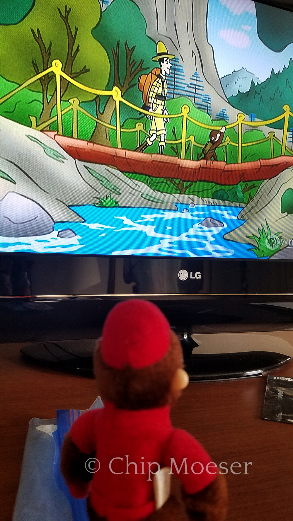
Standing a little tallerGeorge gets to watch himself camp while at the hotel
I had camped last night not too far from the finish of the trail so I could come out early and have optimal time for finding a way to get into Johnstown, which is a little over 15 miles from the trail head. It only took me about 2 hours this morning to reach the end of the route.
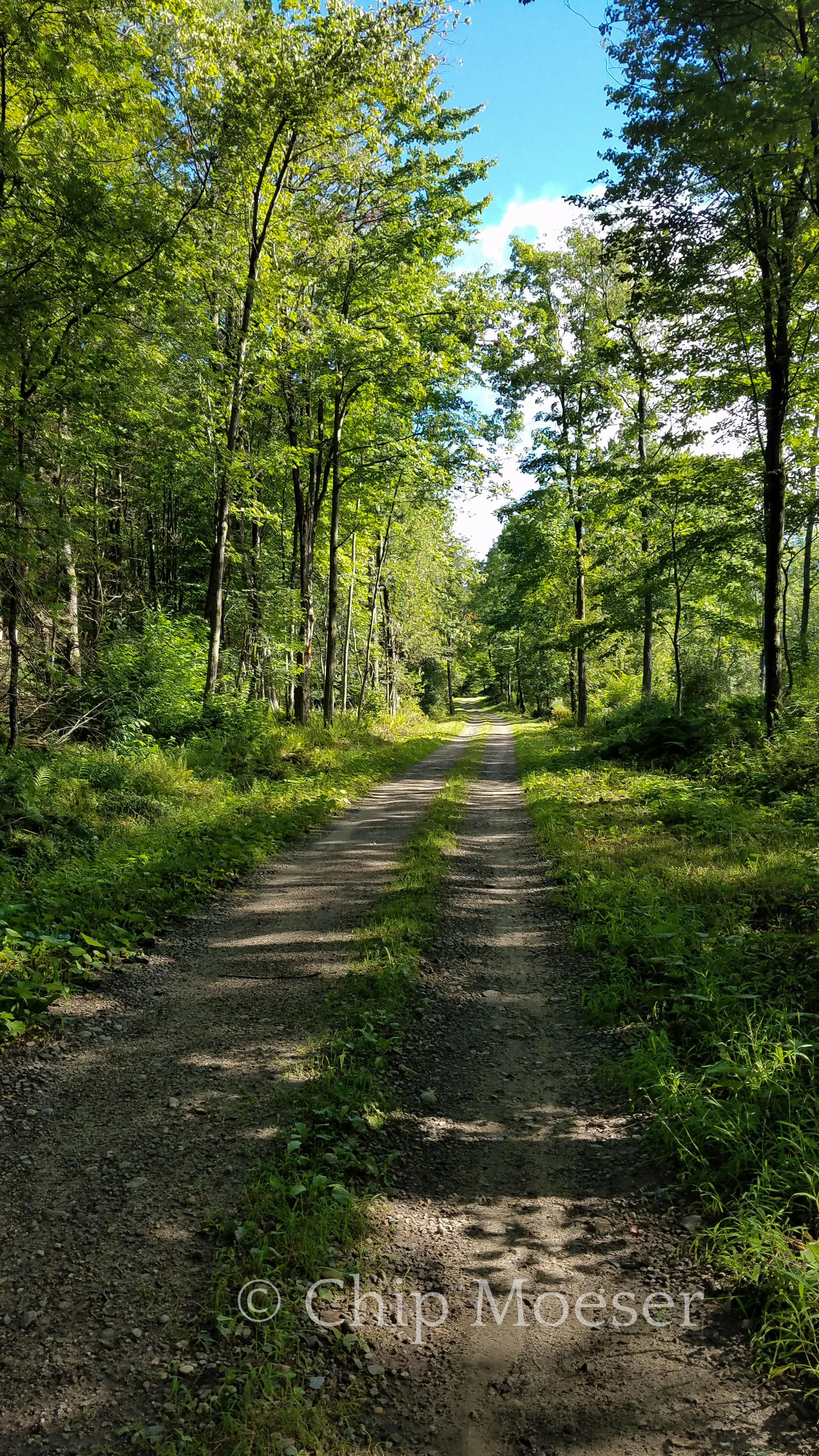
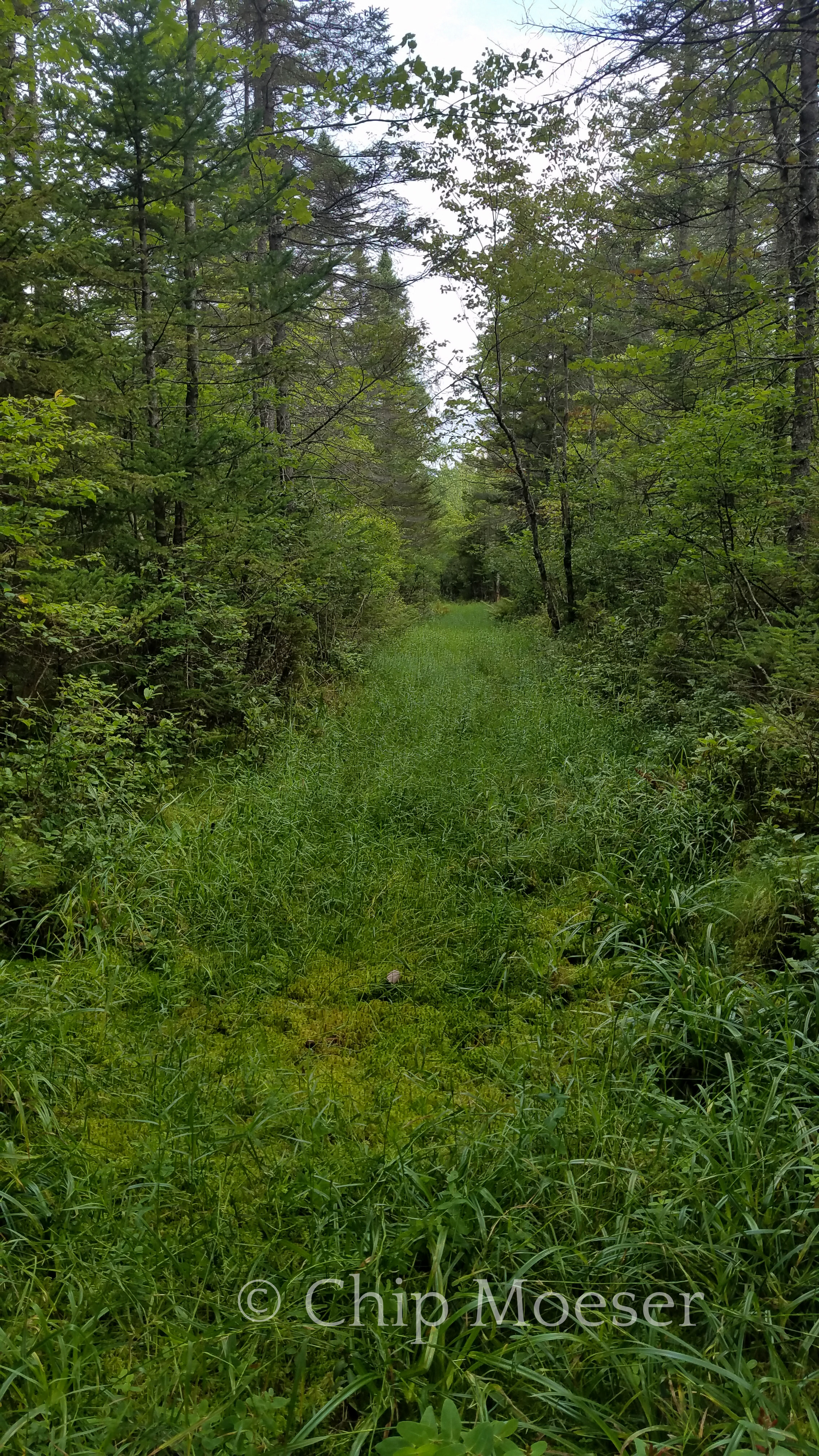
I have to admit, though I try to see the beauty in the subtle or sometimes not so subtle differences in sections of trail, admittedly the snow mobile trails can get a little uninteresting and monotonous at times. Since the route finished up with mostly snow mobile trails, I wasn’t expecting too much from the last few miles. I have to say I was pleasantly surprised. It was certainly a little wet in some spots from 12 hours of rain yesterday, but the weather was phenomenal otherwise. Upper 60’s with no humidity. Things were quite picture perfect. Beautiful landscapes with elements, it seemed at times were carefully placed along the way out.
Finishing was certainly a bitter sweet feeling, but almost immediately I was able to hitch a ride from a very nice woman and by 10am I was sitting down at breakfast enjoying a warm meal and the feeling of having completed such a amazing adventure.
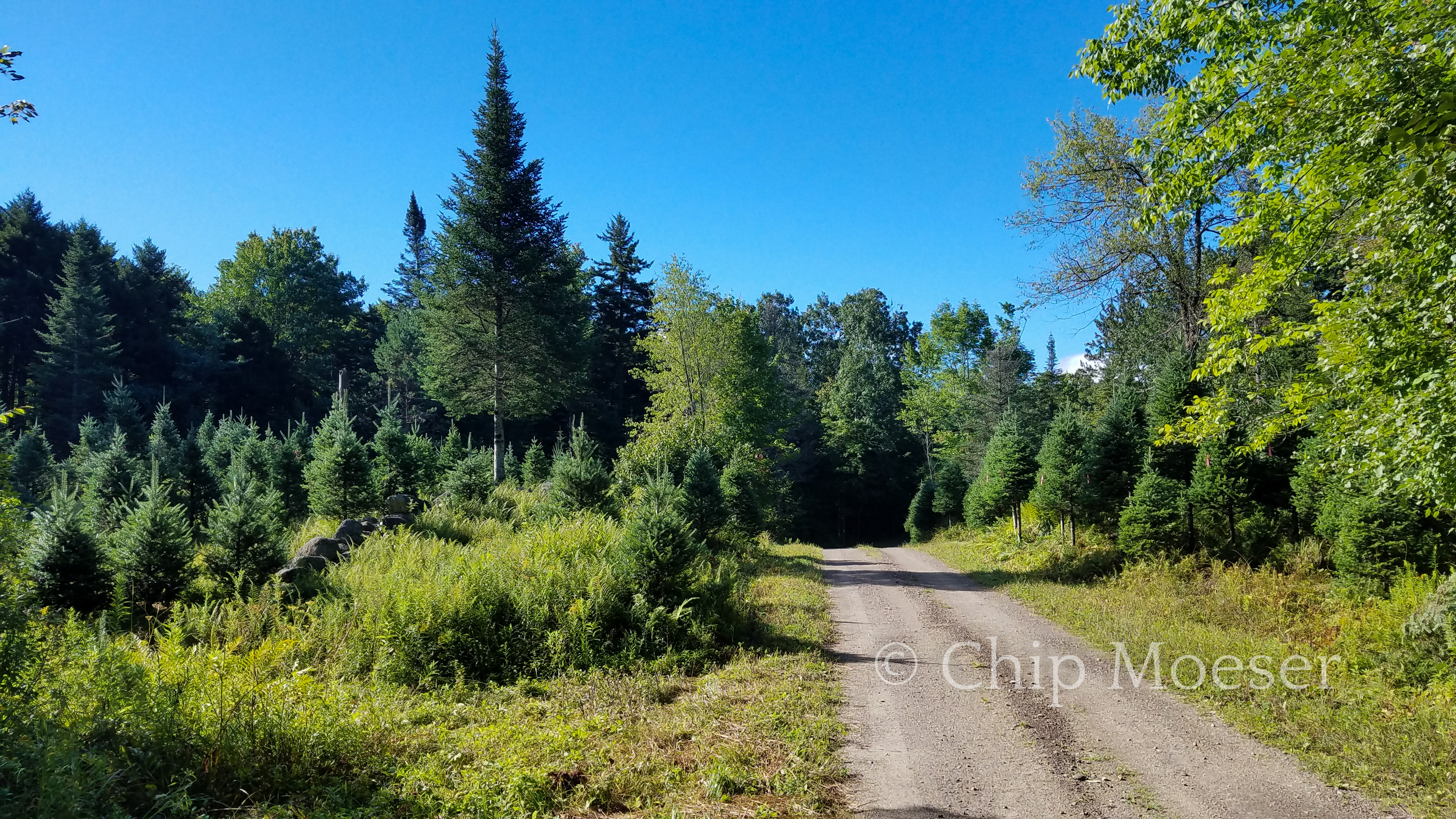
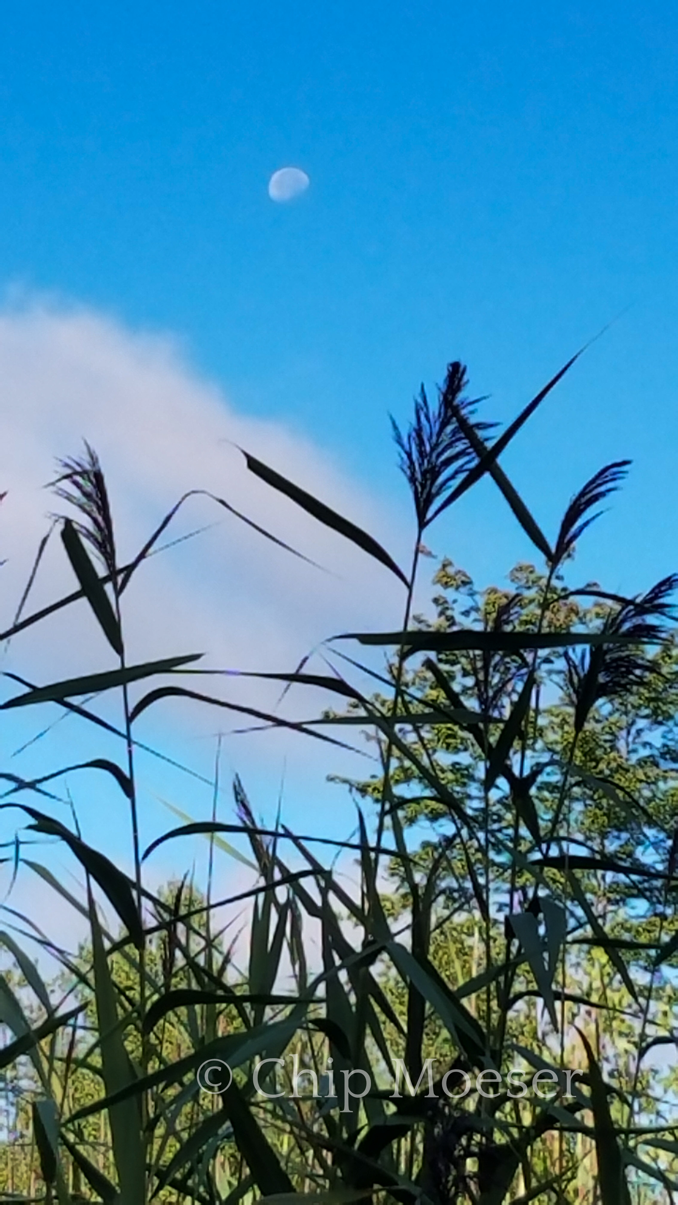
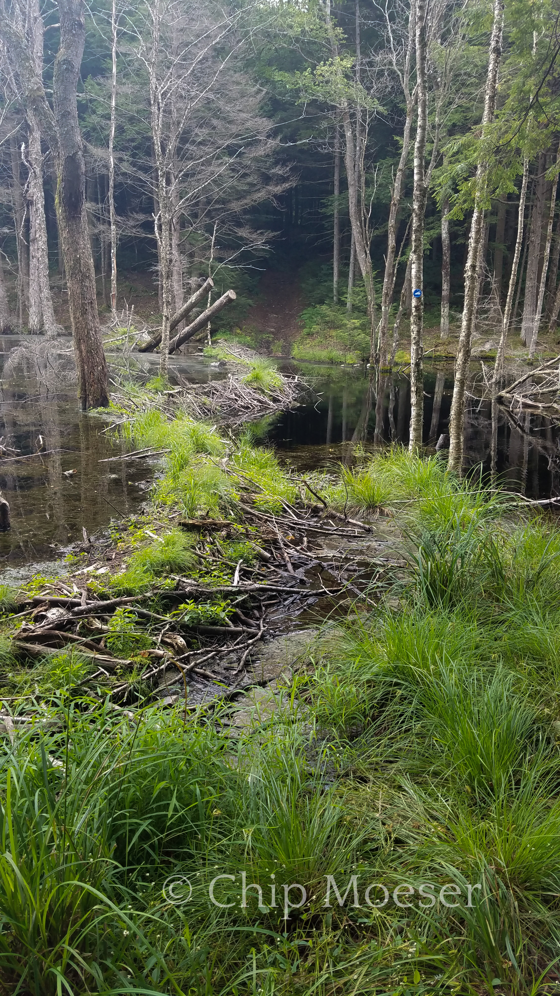
A tree farm on the way outMorning moonOne of the beaver dams that needed to be crossed on the route12hrs of rain the previous day soaked the trails12hrs of rain the previous day soaked the trails
The rain was originally supposed to start early this morning, but it held off and I was managing some decent miles. Around noon and after probably 12 or so miles I was able to get a cell signal and saw the large storm system about 1-2 hours west and heading for me.
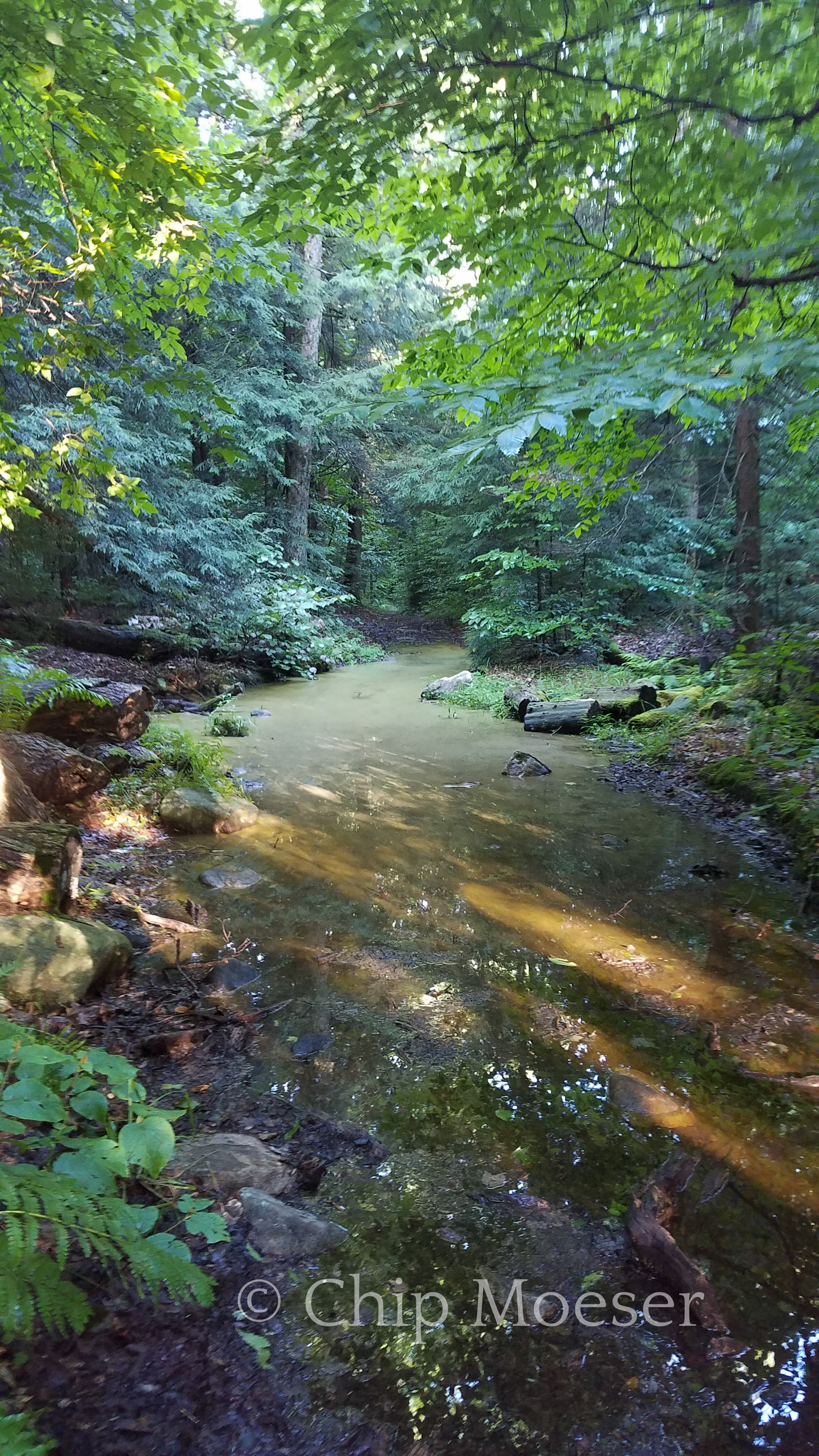
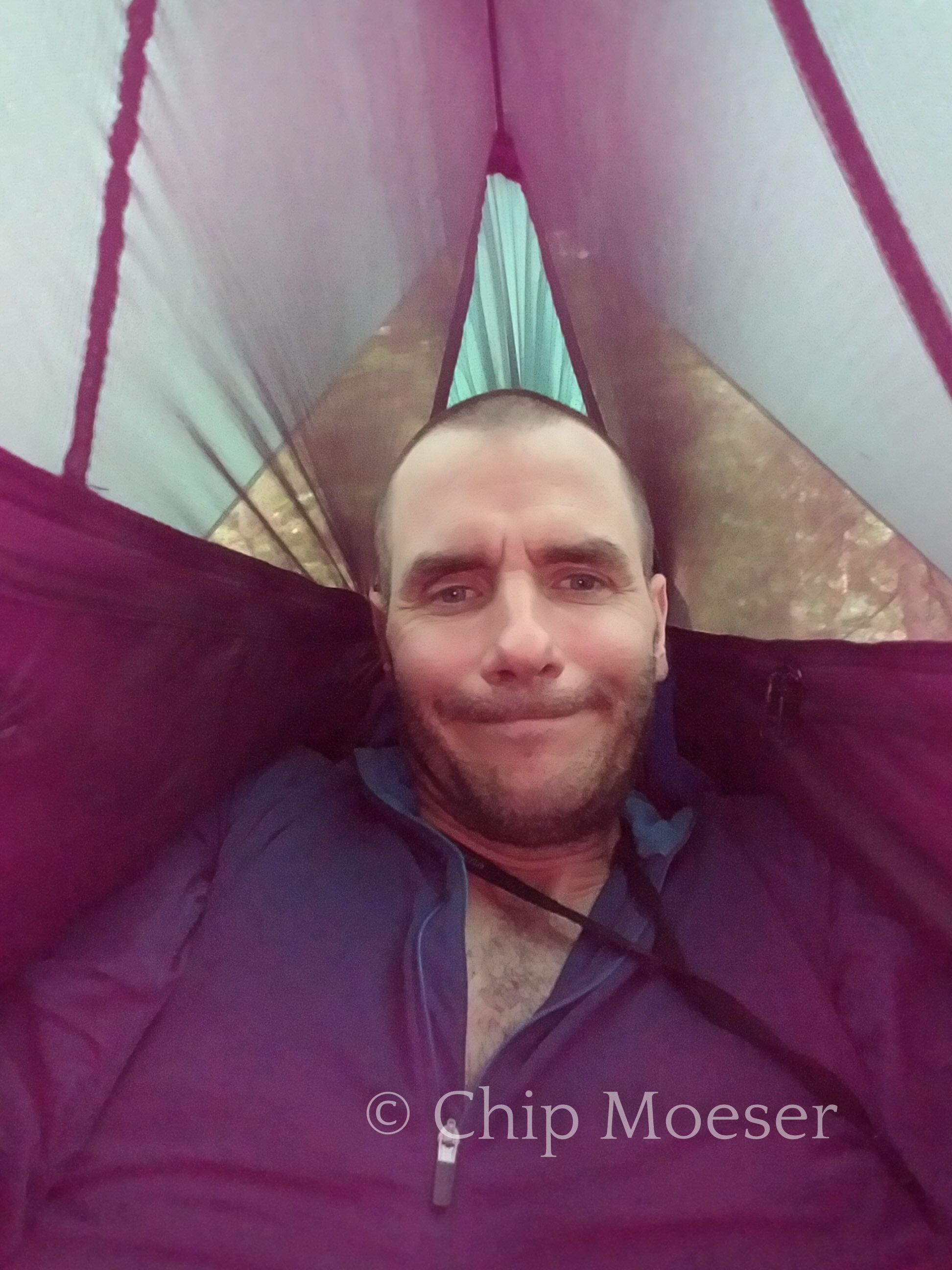
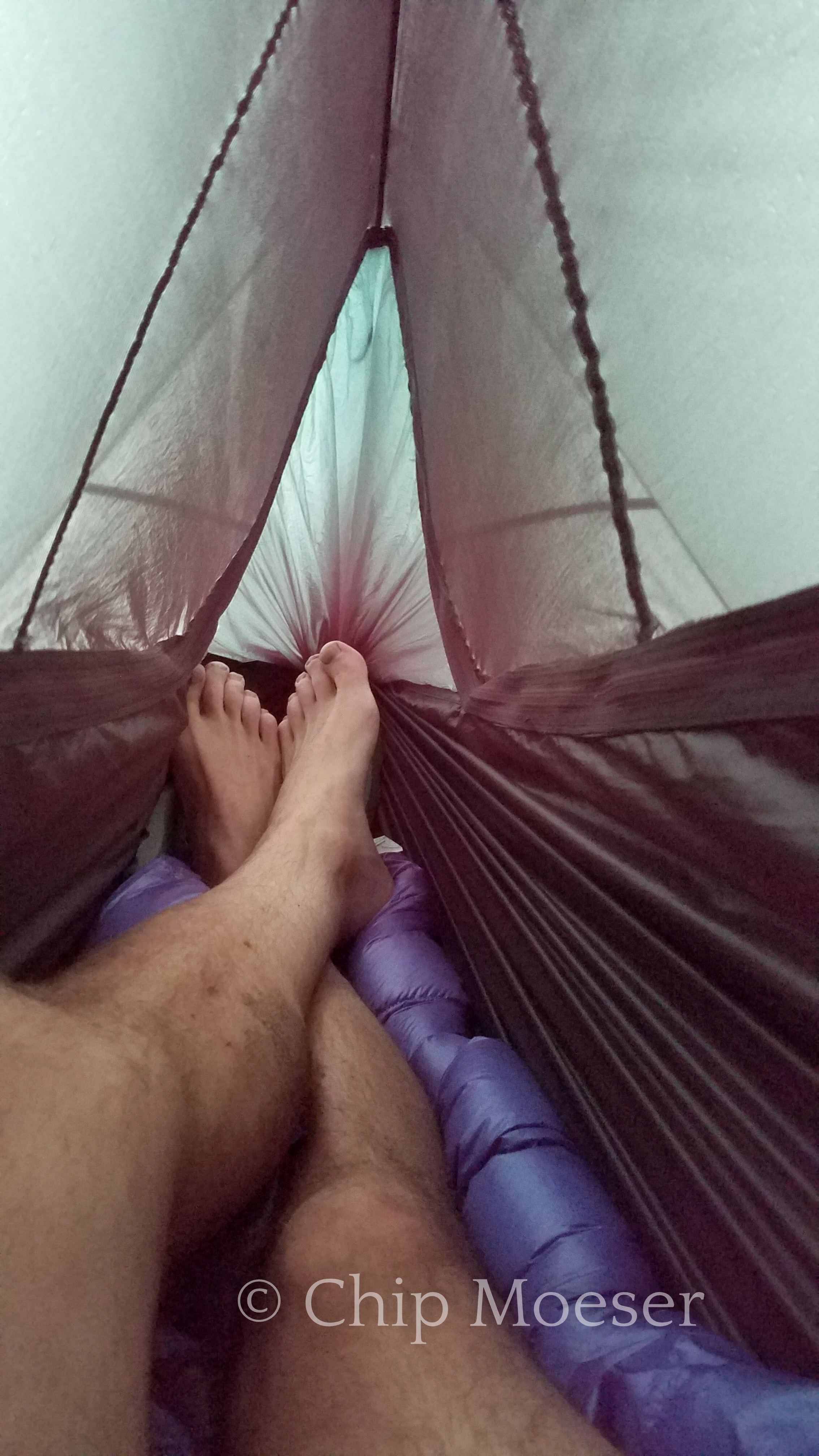
Although I could have easily finished the final 5 miles or so of the route this afternoon I decided to stop at 1pm and set up camp. I’m not so wild about road walking 15 miles or trying to hitch to town in the rain after finishing. So I waited out the rain in my hammock. Right after I set up it began raining and continued for nearly 12 hours straight. I have to hand it to my hammock, kept me bone dry the entire time!
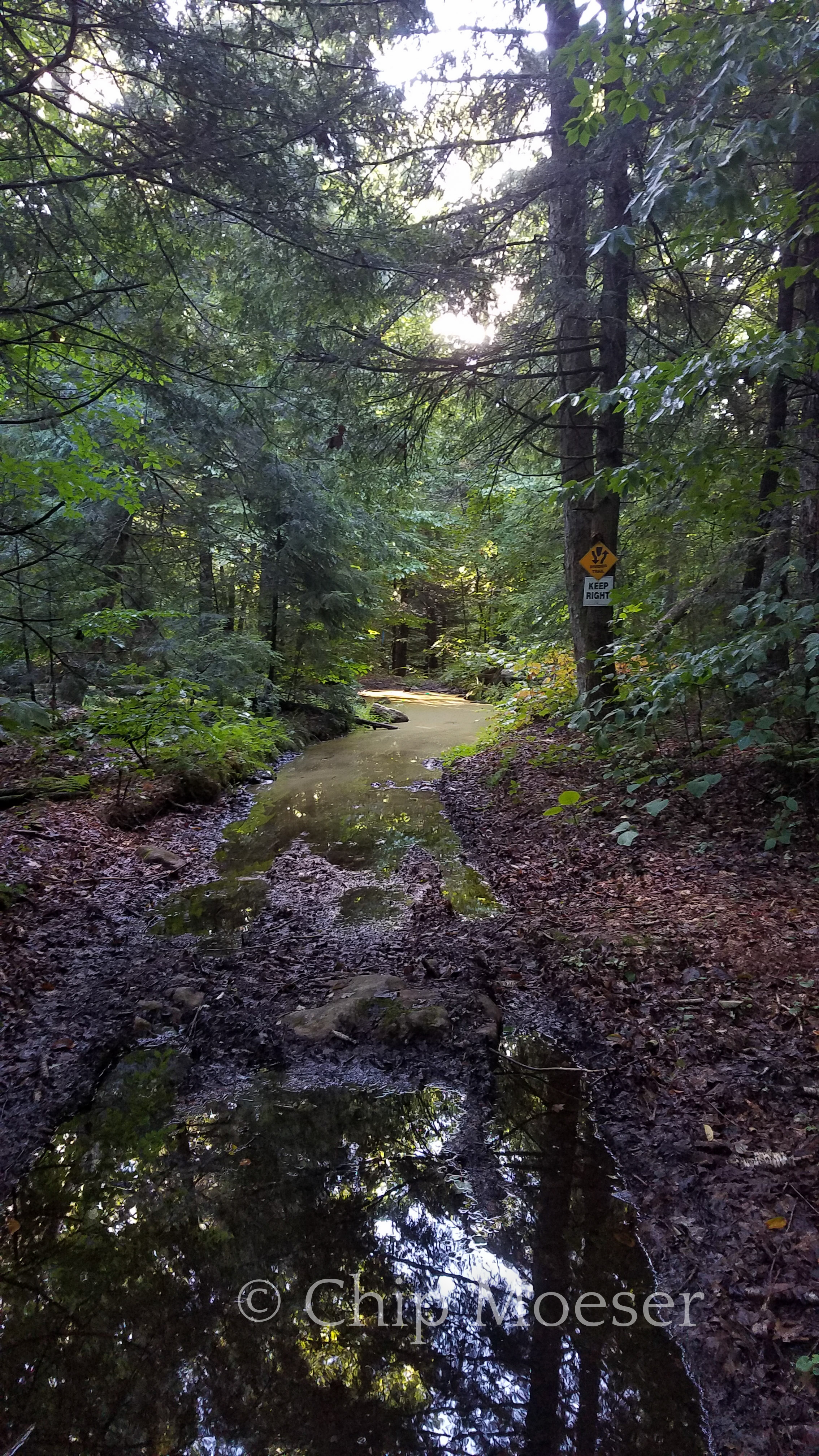
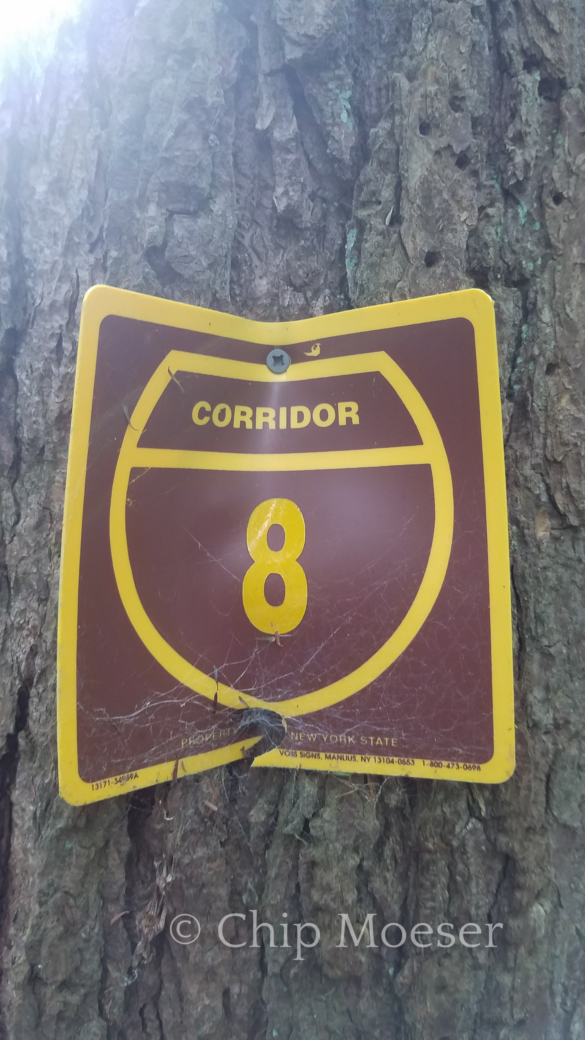
Corridor 8. So glad I passed through this before the rain!Waiting out the rain high and dry in my hammockWaiting out the rain high and dry in my hammock
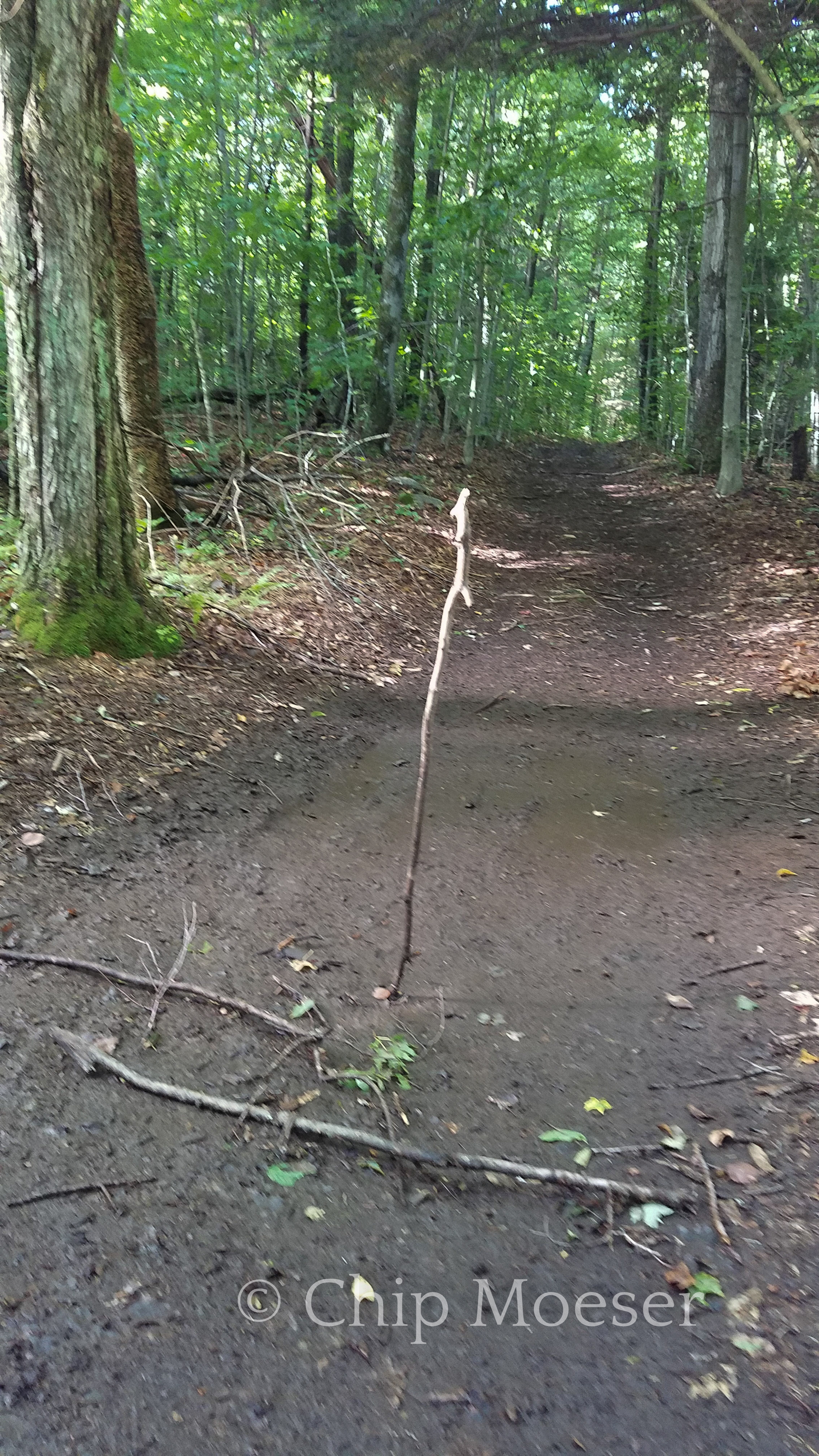
I saw this and few times over a few miles and could not for the life of me figure out why people would randomly be sticking branches in the mud standing up like this. Then in a “light bulb” (or face palm) moment I realized they were actually falling like this.
Snow mobile trail Corridor 8 was a heavily traveled trail for final few days. Most of these are from C8.
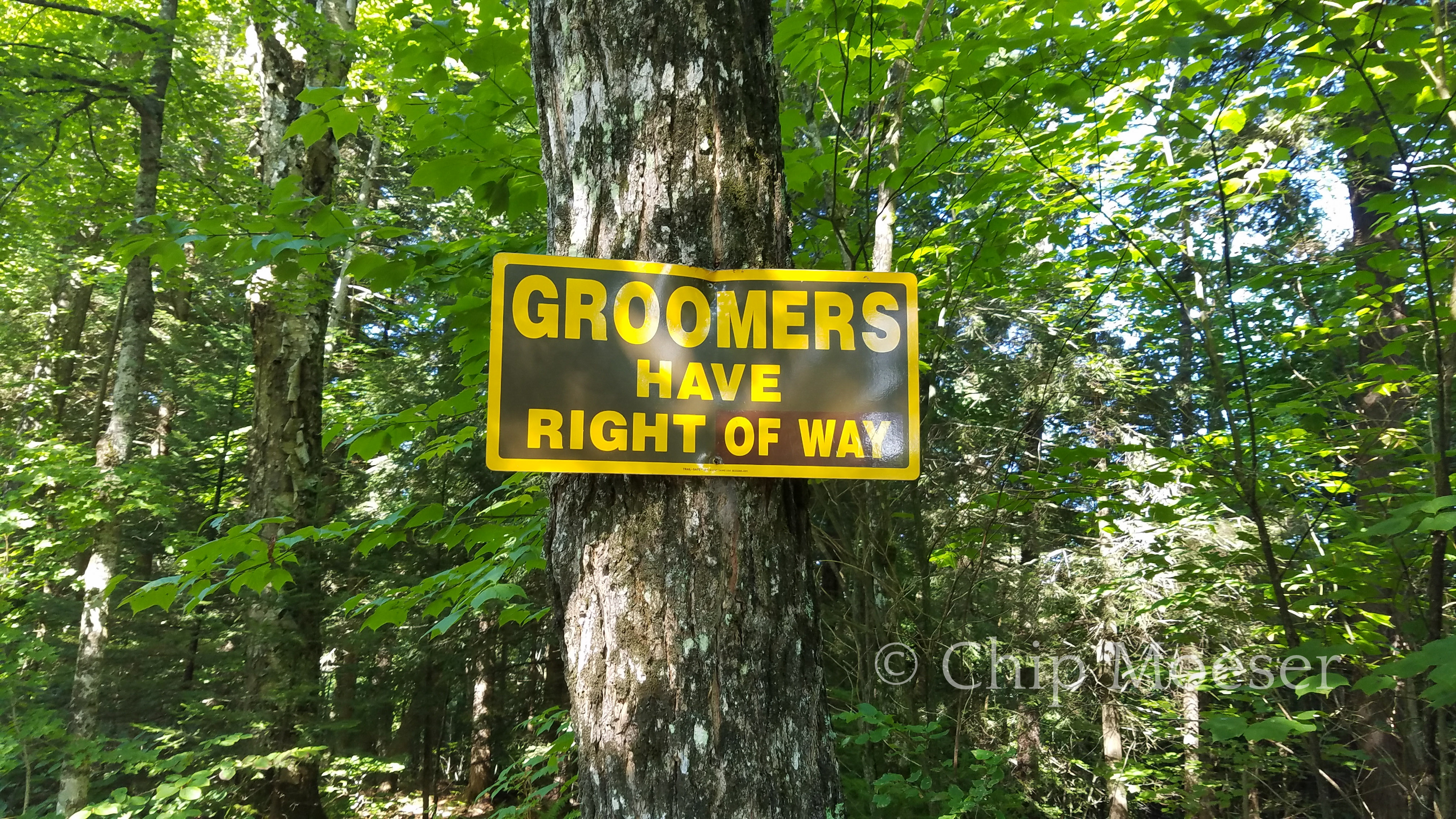
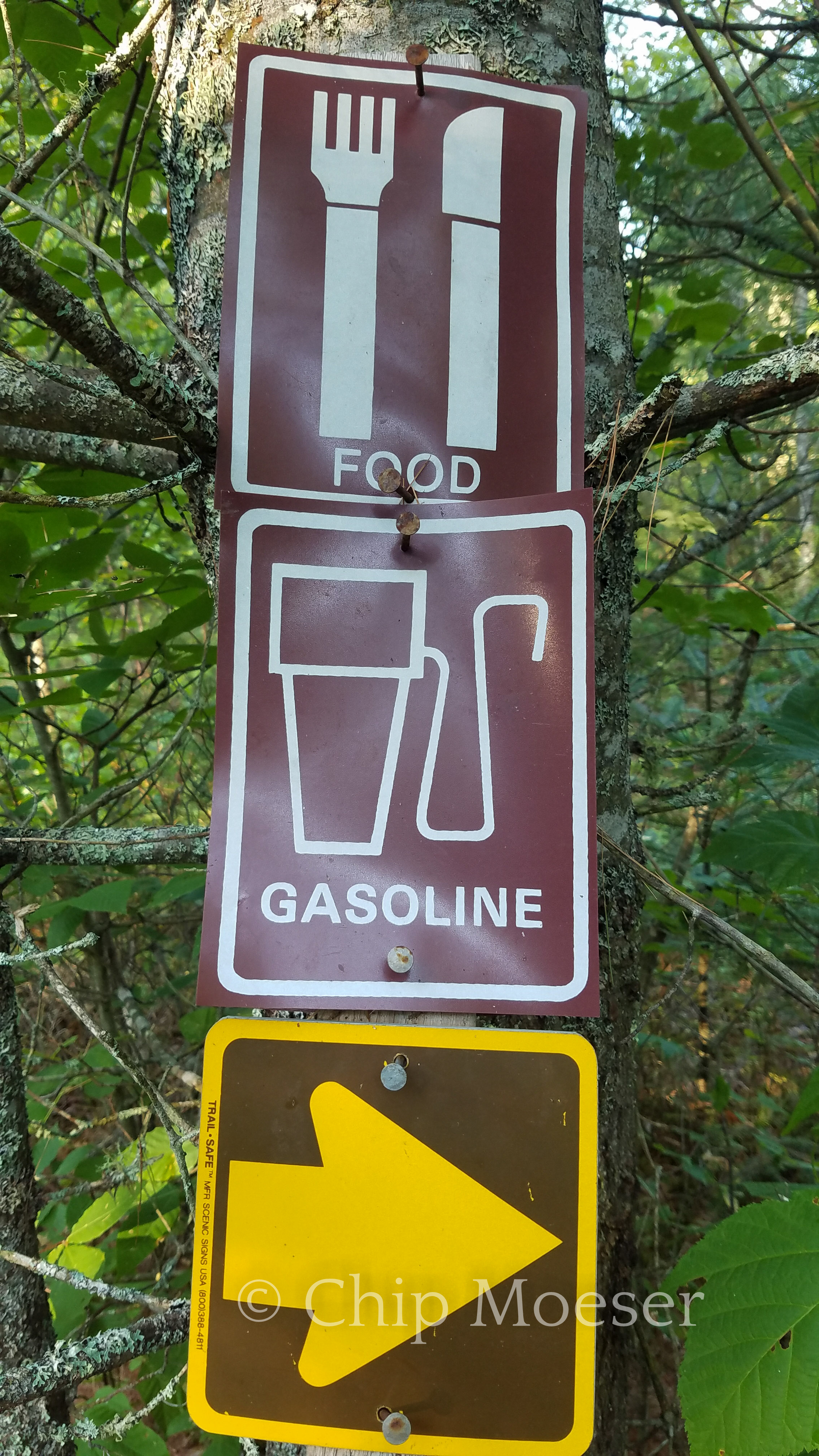
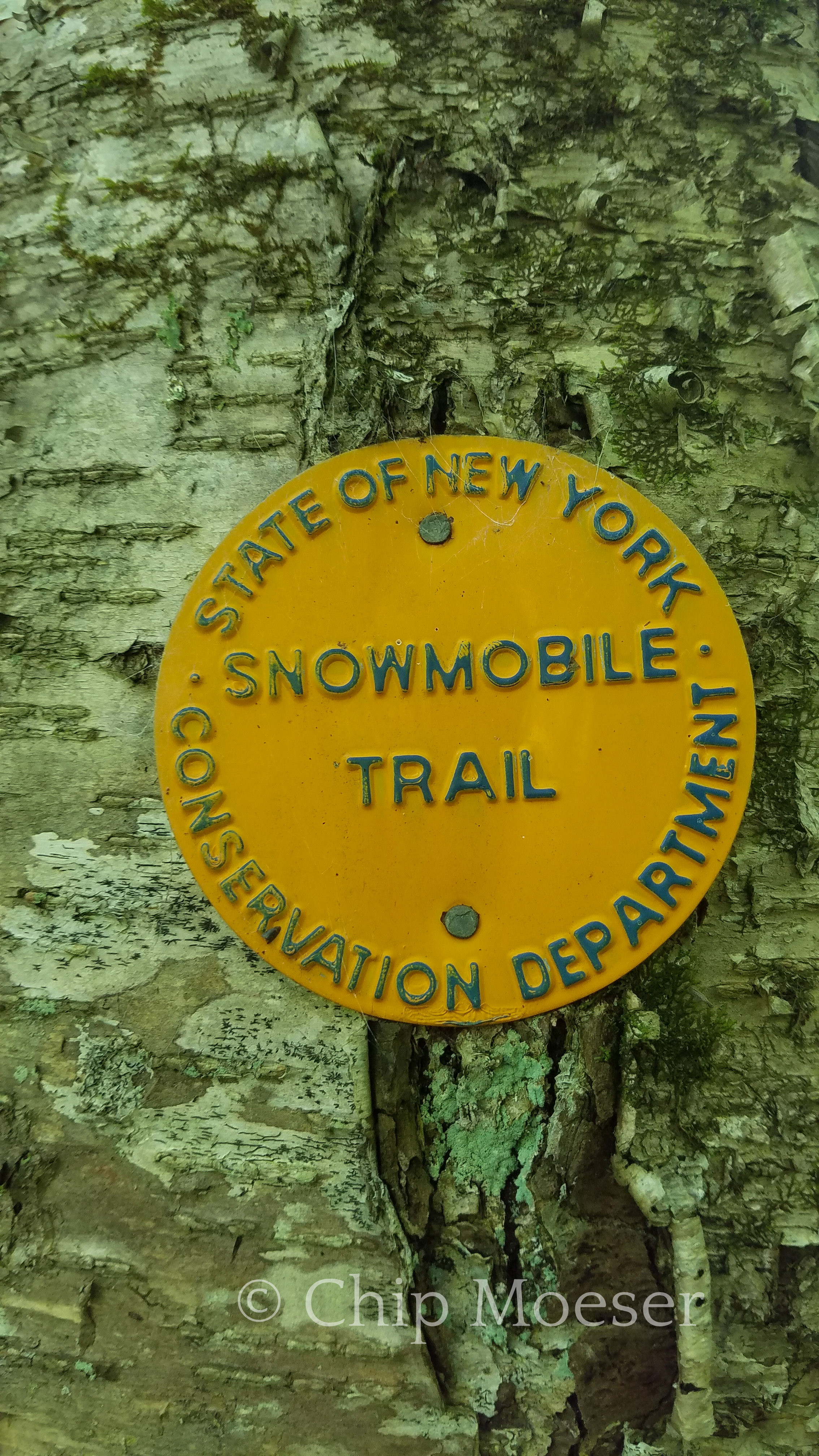
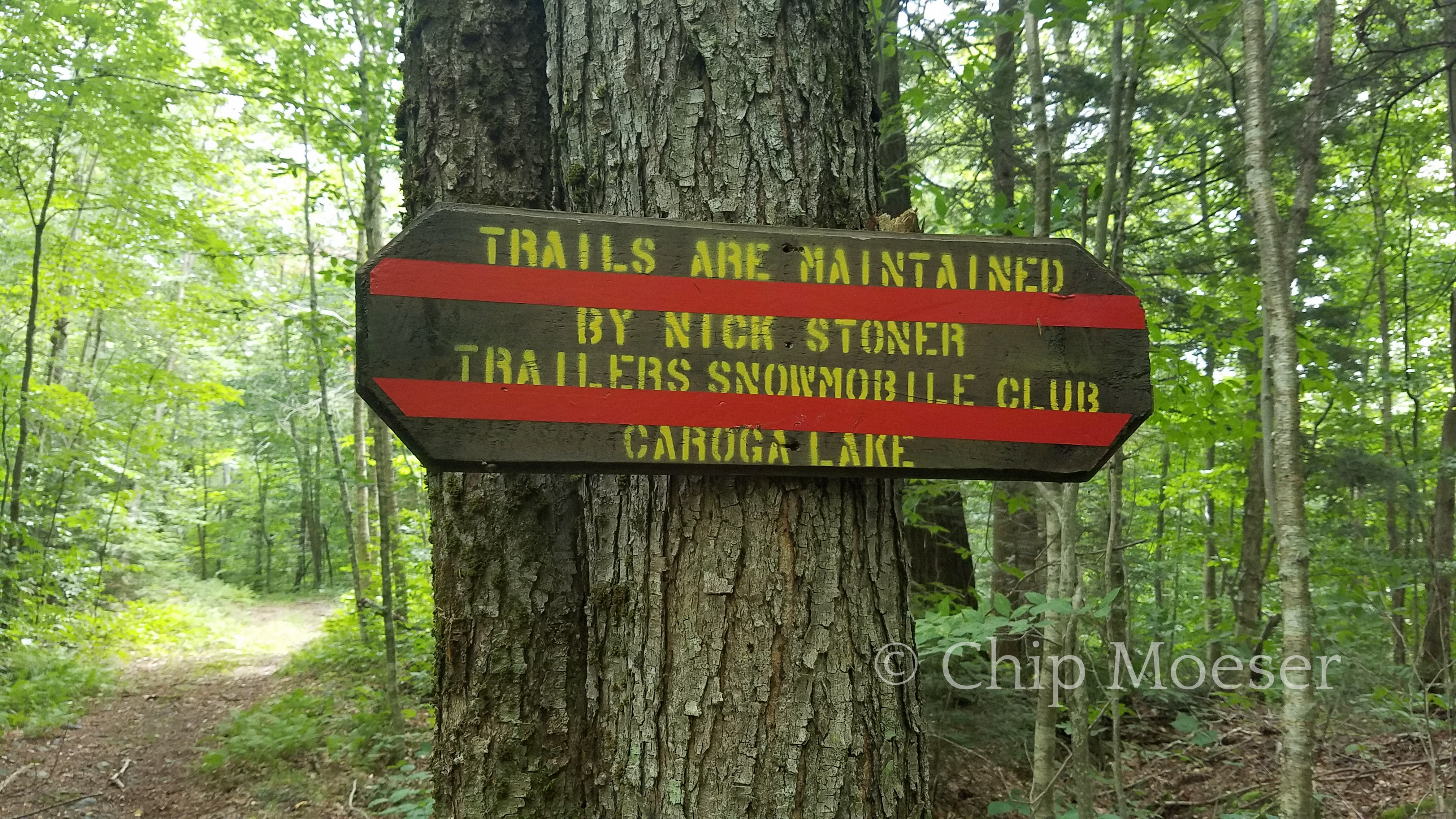
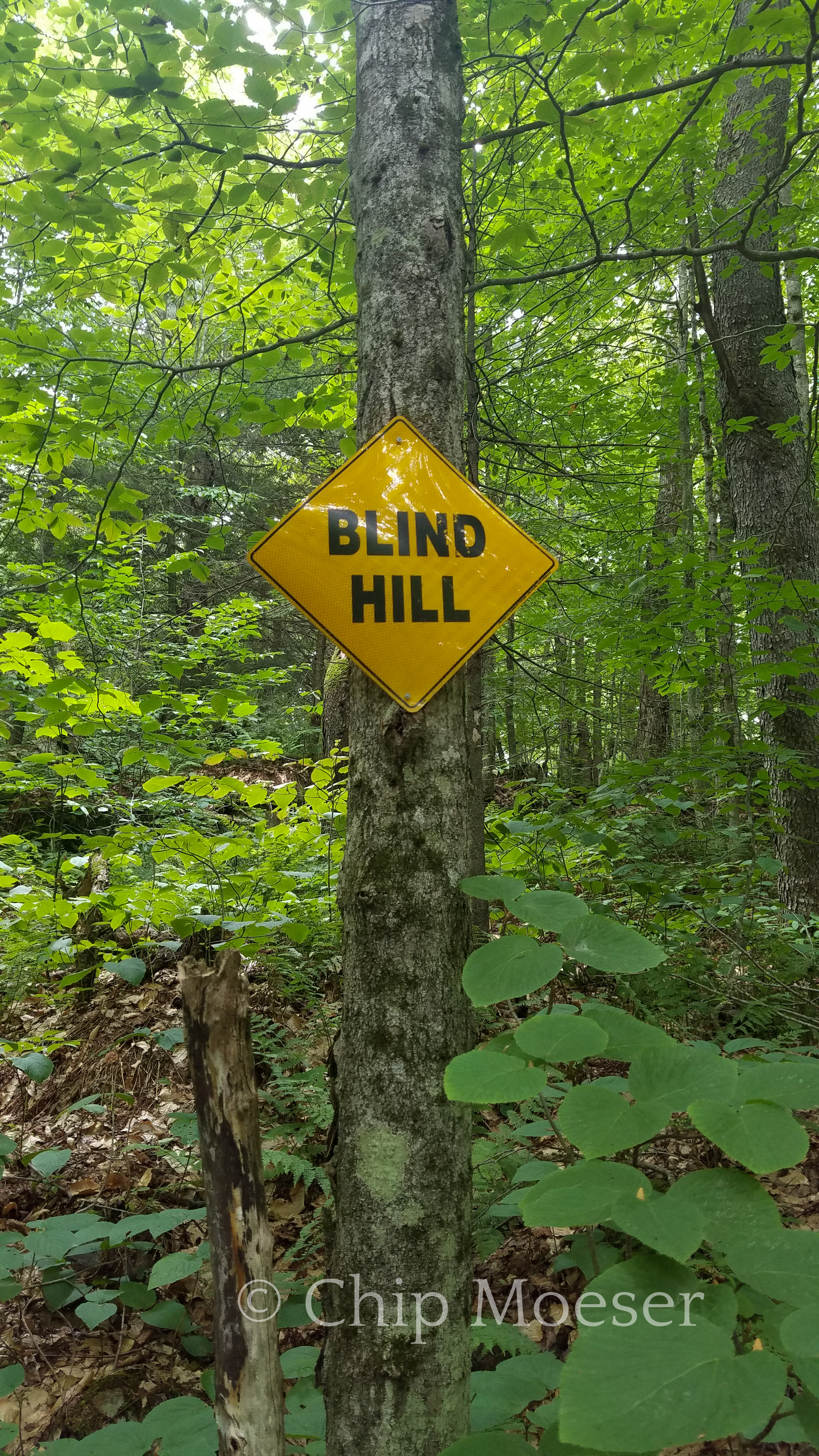
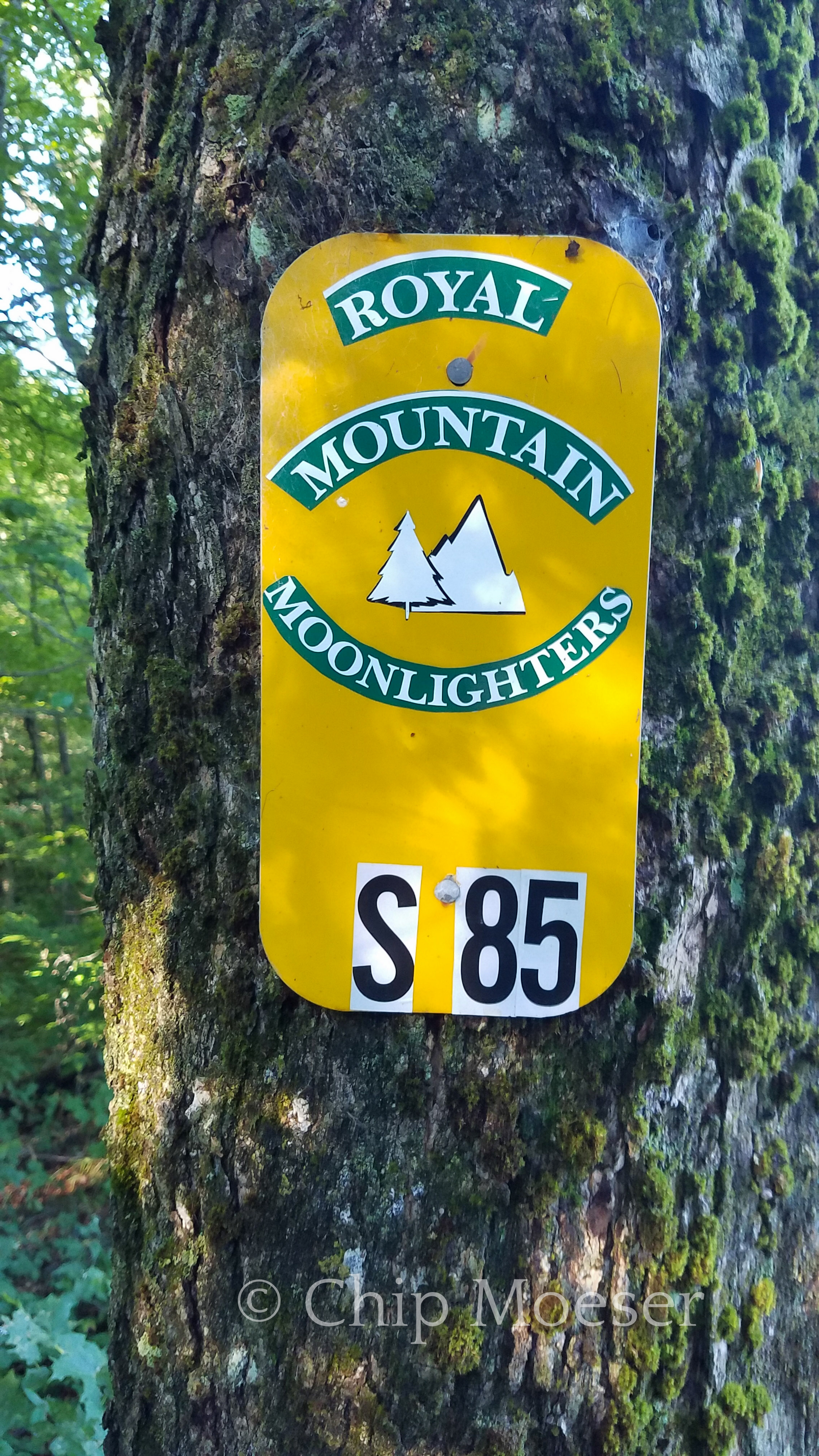
Snow mobile trail Corridor 8Groomers have right of waySigns on Corridor 8Corridor 8 trail markerNick Stoner Trailers Snowmobile ClubBlind hillRoyal Mountain Moonlighters
After leaving Piseco today the route weaved its way in and out of snowmobile Corridor 8. Seems like I was on and off trail and road between Routes 8 & 10 at least 3 or 4 times. Twice on purpose and once accidentally following a side footpath. It felt like a lot of running in circles to avoid both private lands and road walks. Round and round we go. Not sure the mileage but seems like maybe it would have made more sense to just walk 8 to 10 to Arietta, NY.
I tried finding a place to camp at Good Luck Lake but no luck there. It was Saturday and all of the designated spots around the lake were taken. I could have camped 200 feet off trail nearby but I had some time so I pressed on.
I made a detour following signs for the “Arietta Hotel” thinking maybe I could get a room and avoid the deluge of rain coming tomorrow only to find they were not a hotel, at least not anytime in recent history, just a restaurant. Looked like a nice dinner stop but it was getting dark and I needed to find somewhere to camp so I headed back into Corridor 8. Should have been only a 2 mile detour but the trail was rerouted into Areitta. Probably 4 mile detour round trip. Oh well. Round and round again.
Defintely one of my longer days. Hiked 12 hours today. Found water and a place to camp for the evening. I’m hopeful I can get some hours in tomorrow morning before the rain hits.
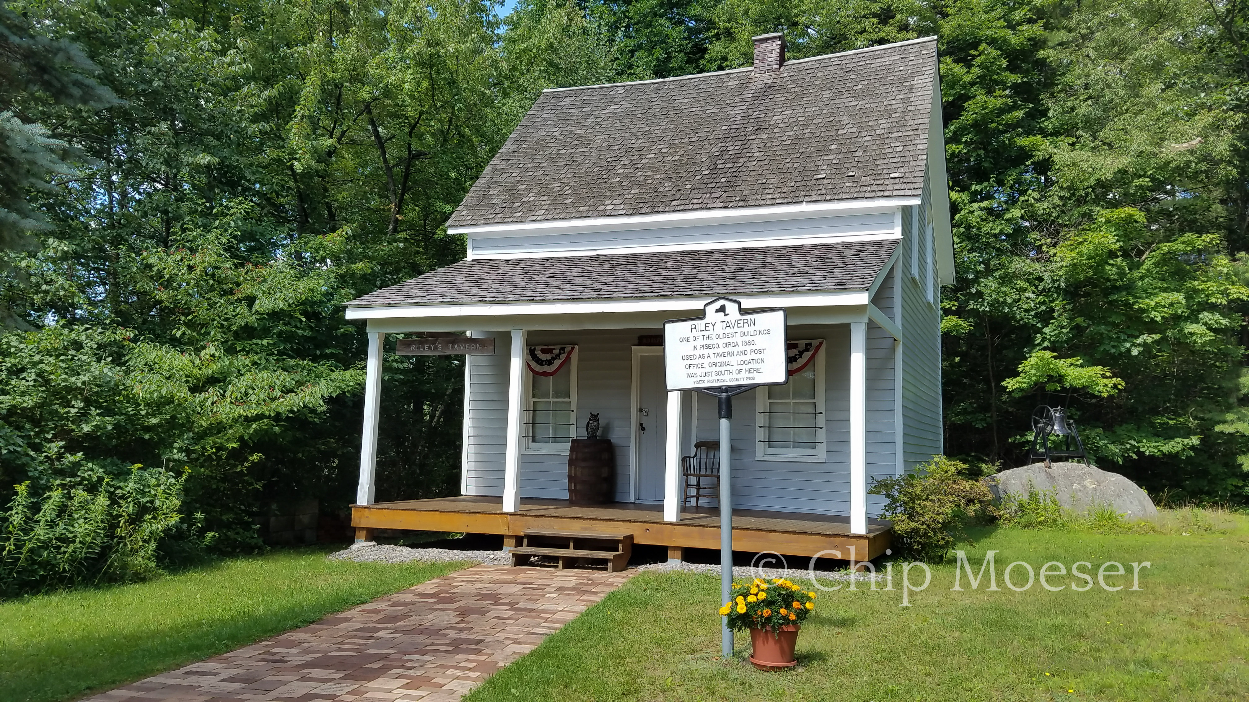
I arrived in Piseco, NY around noon today. I had a mail drop with some fresh supplies I picked up at the post office which was conveniently located right on the Northville Placid Trail.
I knew after Piseco I would no longer be overlapping the Northville Placid Trail. Things after were a bit of a maze of snow mobile trails, established trails, road walks and avoiding private lands. It would take a bit more planning and a lot more navigation than I had been doing while overlapping the Northville Placid Trail, so I was looking to find a place to stay for the night, get off trail and plan for the route ahead.
I grabbed a delicious lunch at the local deli and only store in town Casey’s Corner where I ran into another hiker. We talked gear and trails while we ate. Afterwards I headed down the road to check the local hotel for availability, they had none but directed me to the Oxbow Inn, a restaurant next door that rented rooms upstairs by the night. I was able to get a room for the night at reasonable rate and they had great food! Time to study and plan for the hiking ahead.
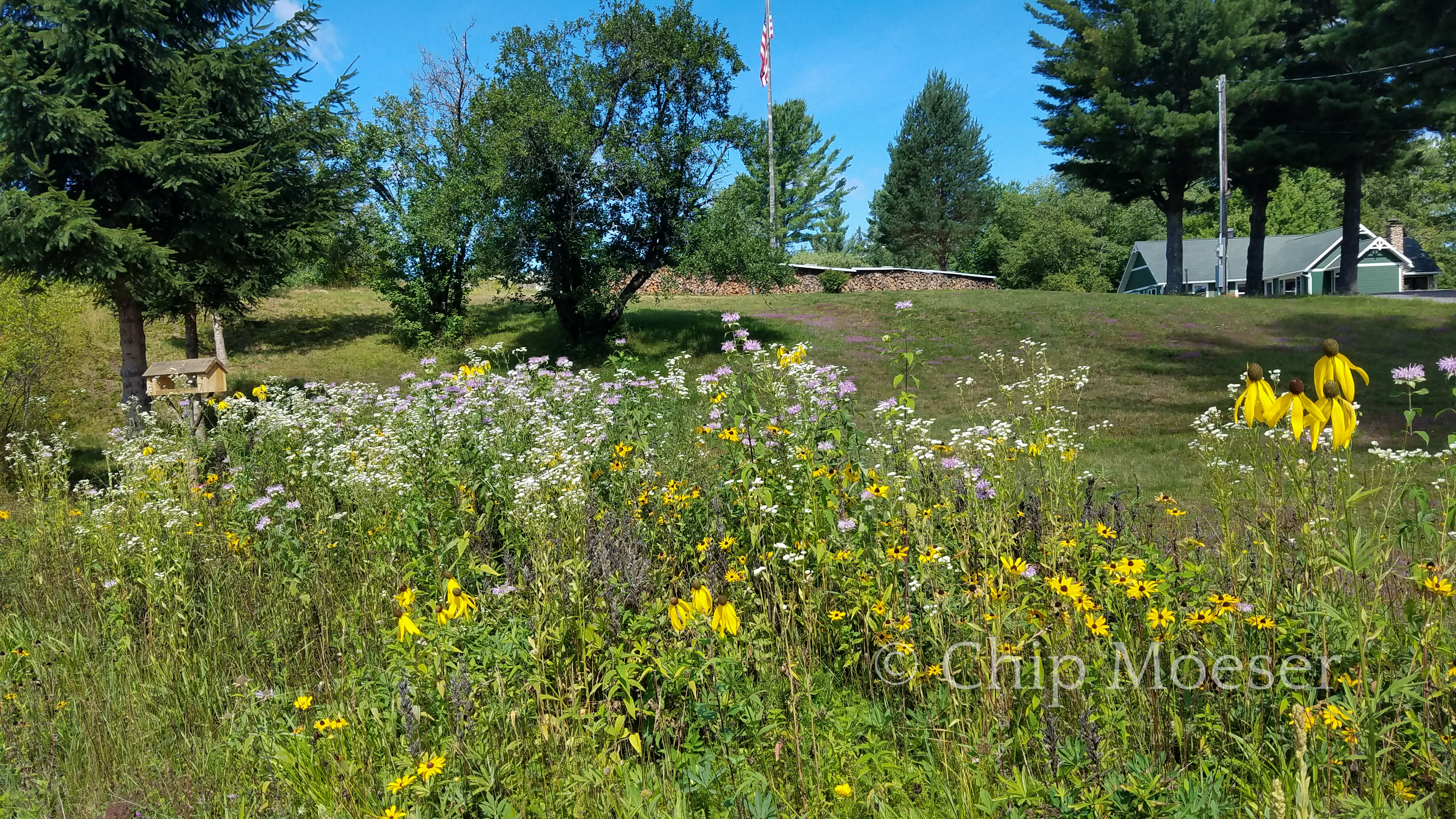
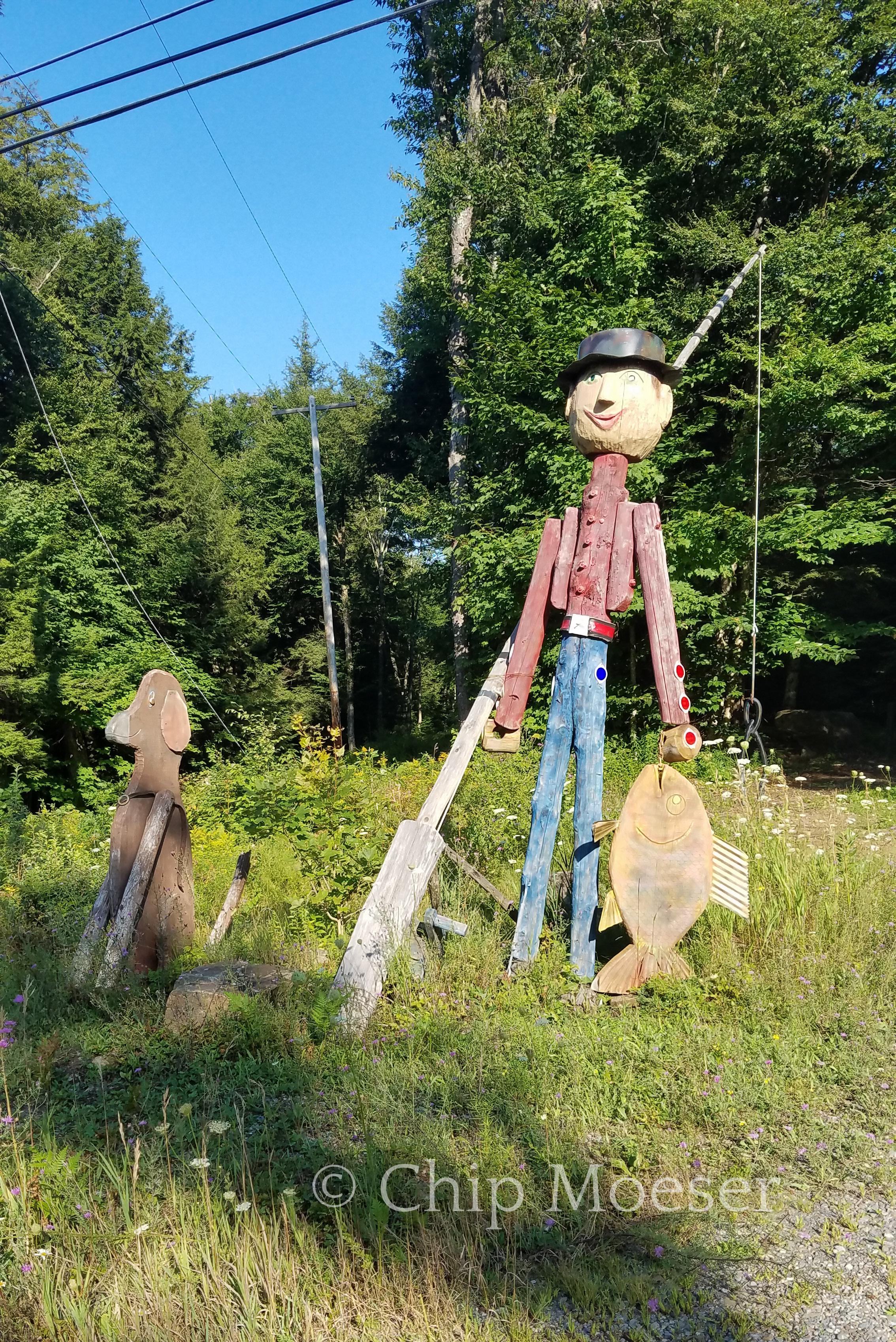
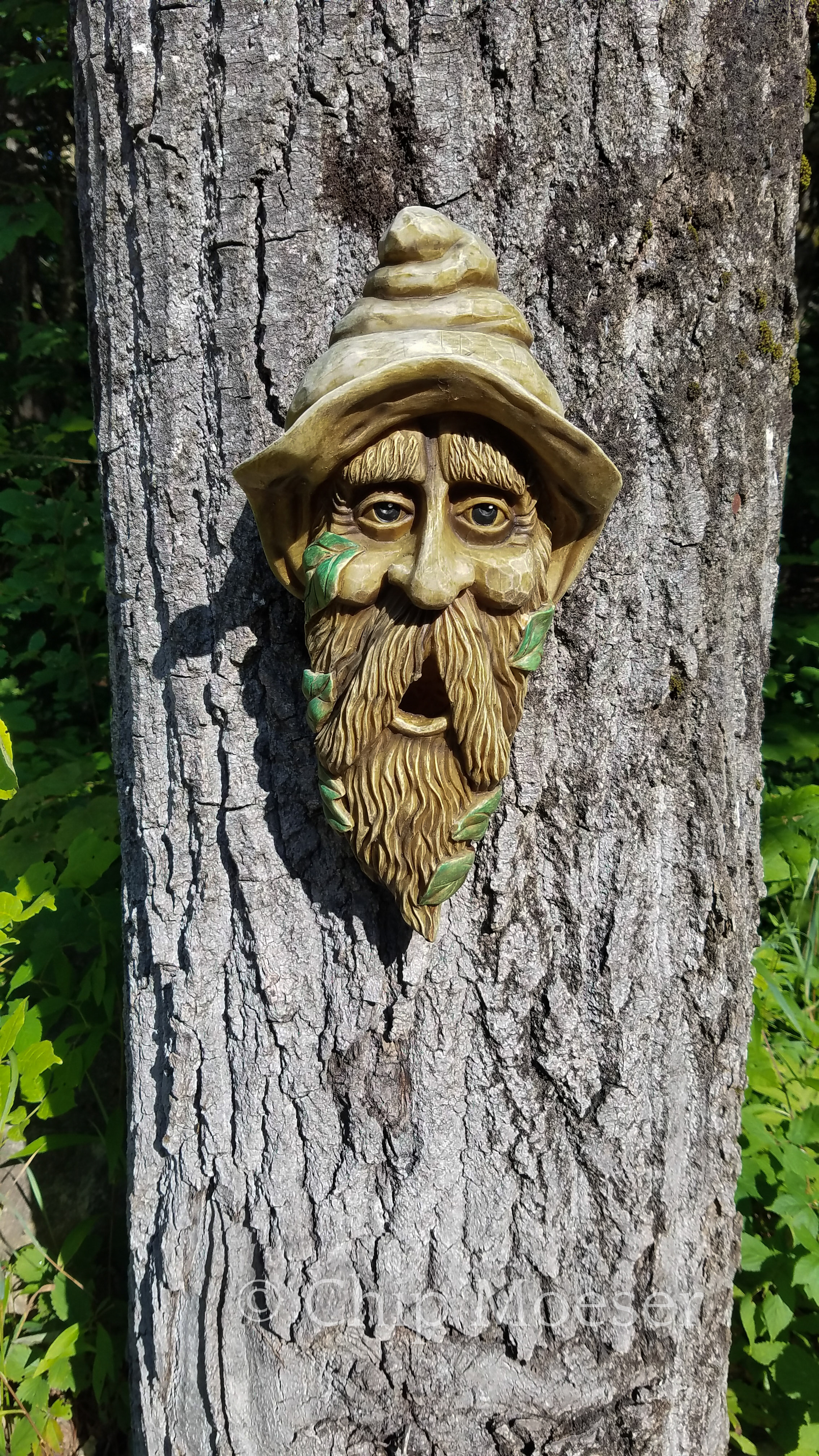
Some scenes from around Piseco
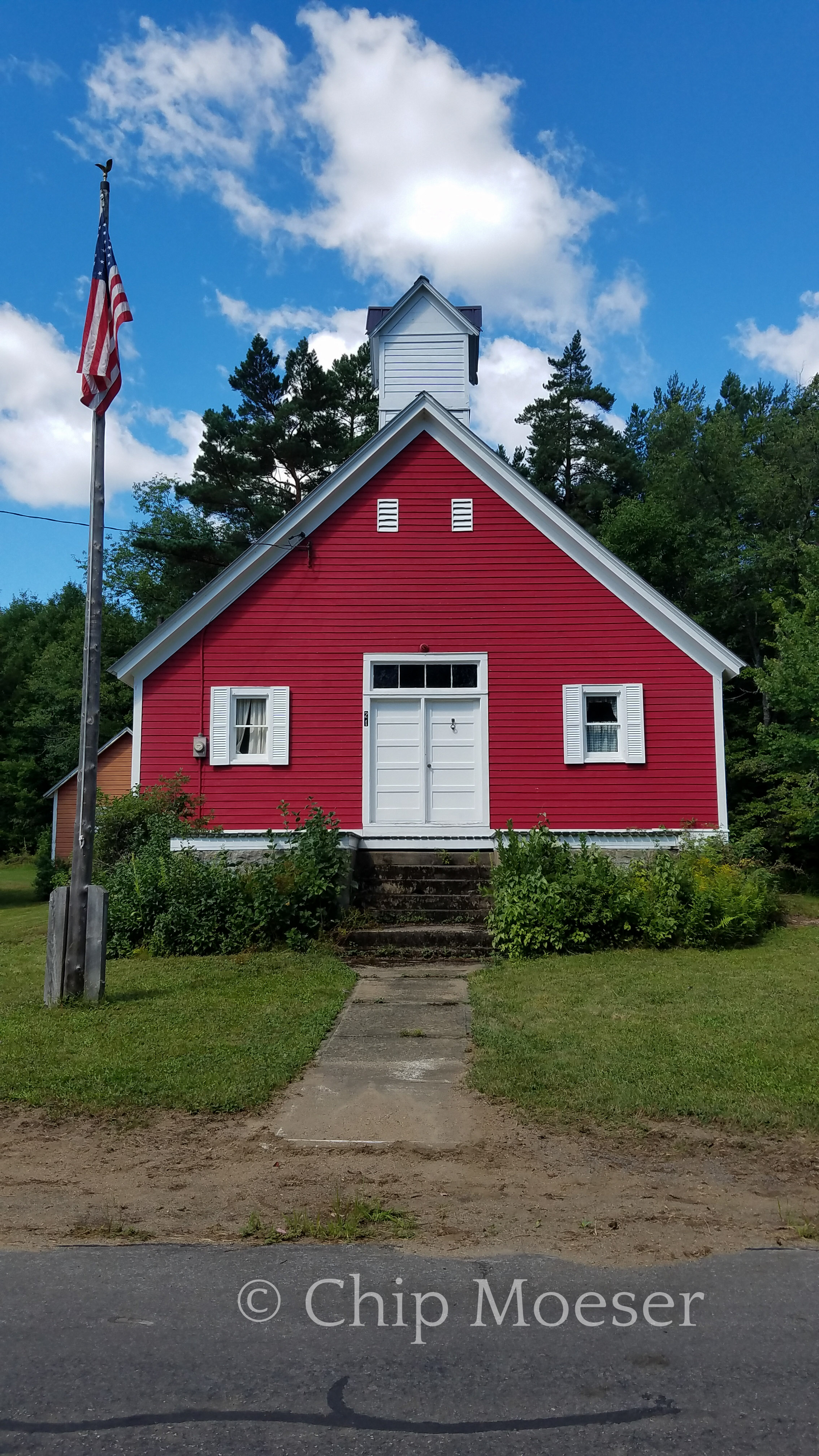
Piseco, NYRiley Tavern Piseco, NYWildflowers“Gone Fishing”Tree man