Trans Adirondack Route Day 7
August 6, 2016 8:00 amDaily Recap: Thunderstorms, Marble Mountain to Whiteface Summit. Camp at Whiteface Brook
Daily Recap: Thunderstorms, Marble Mountain to Whiteface Summit. Camp at Whiteface Brook
Catamount to Marble Mountain. Pretty short day. Just wanted to make as close to Whiteface as possible without sumitting as I am far too exhausted from yesterday’s bushwack up Catamount Mountain. Made it to camp near the bottom of Marble Mountain.
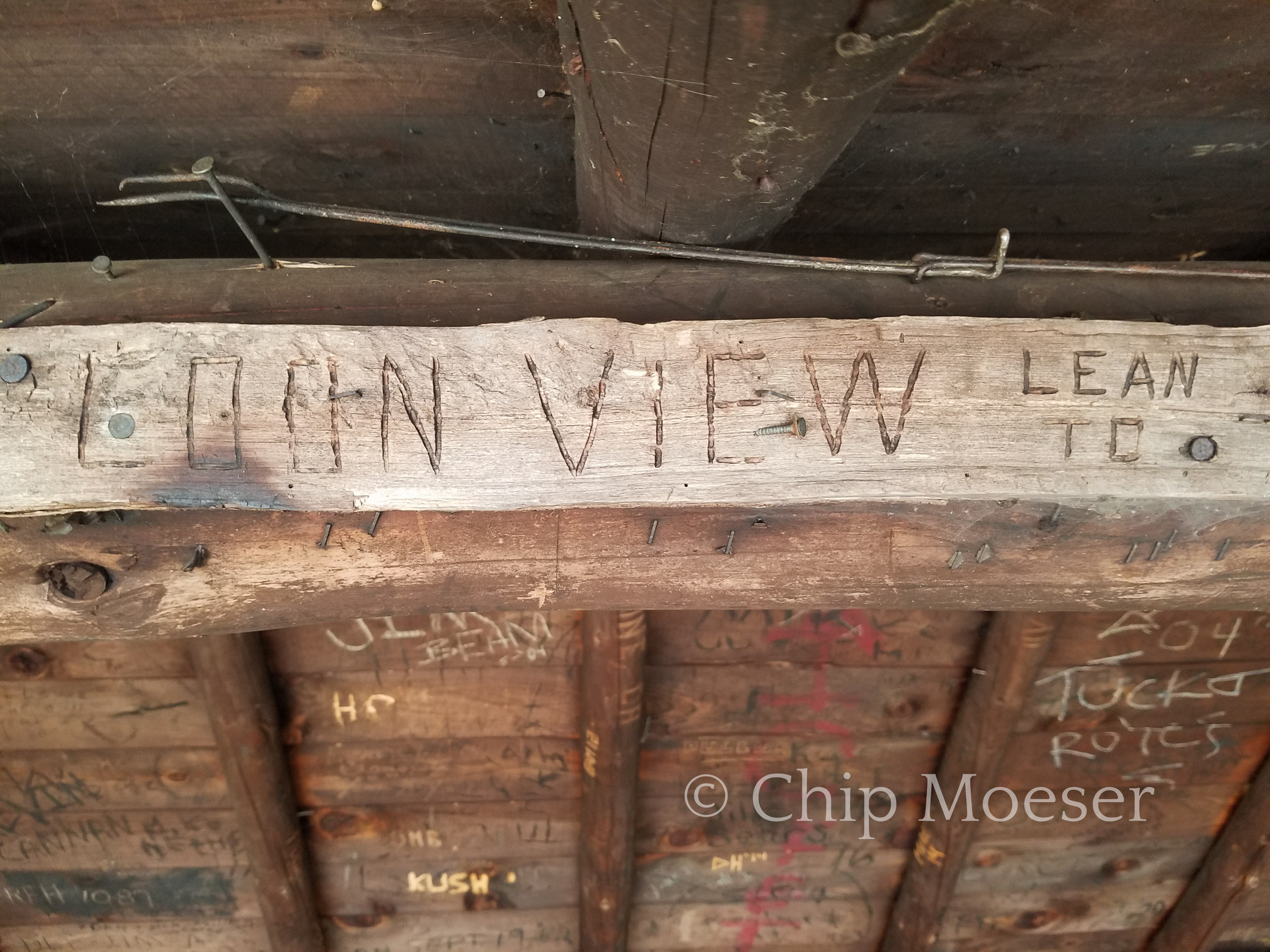
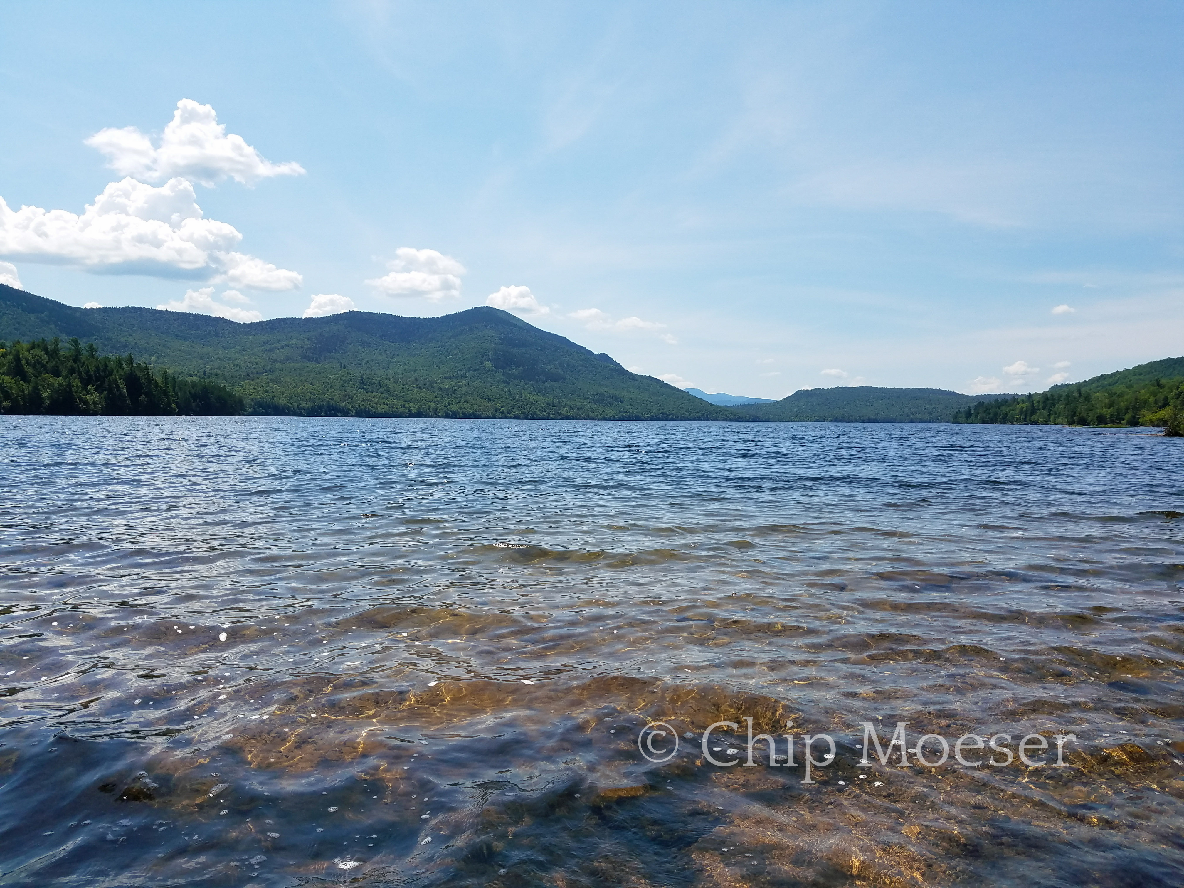
After making my way around the snow mobile trails around Taylor Pond, stopping to enjoy the view at Taylor Pond Damm and a second but much shorter bushwack on the south shore I eventually made it to the “Loon View” or Taylor Pond leam to. This was close to where I would begin my bushwack summit of Catamount Mountain. I stopped for some water and a quick bite but as it was nearly 3pm and I wanted to catch sunset from the top of Catamount I needed to press on.
The guidebook had suggested starting the bushwack from either the lean-to or a stream just a little past it, leaving the option up to me. I chose to begin about half way between the two. As I began my ascent again I tried to avoid the densest brush. For the first hour and a half things were going ok. It wasn’t too thick but it certainly was a bunch of work going uphill. I was drenched in sweat from head to toe but glad I had on my long pants and gaiters.
About two thirds of the way to the summit things really started getting thick. My progress became very labored and slowed to nearly a crawl. I grew impatient and frustrated as I wondered who would enjoy such travel and why? The brush kept getting thicker and thicker and soon at times I was literally crawling on my hands and knees to get a few feet ahead where I might be able to stop and catch a breath.
Things were turning from bad to worse fast as I wondered if I would make it to the summit in time for sunset and if it got dark, then what? I knew panic would only make the situation worse so I stayed calm keeping up my hard work determined to press forward. It seemed like the harder it worked the more difficult things became. I could only liken it to one of those horror movie scenes where someone is covered in tar or slime and trying to move through it or perhaps swimming through molasses.
For a brief moment I stopped to ponder what it would look like if I needed help getting out of this situation. What would I say? I’m lost “somewhere” in the brush on the north side of the mountain. How would anyone even get to me? It didn’t seem possible, certainly not a good scenario.
Of course at the time things seemed their worse I started coming out on what I believed was the ridgeline leading to the summit. It was still a lot of work but things were starting to open slightly.
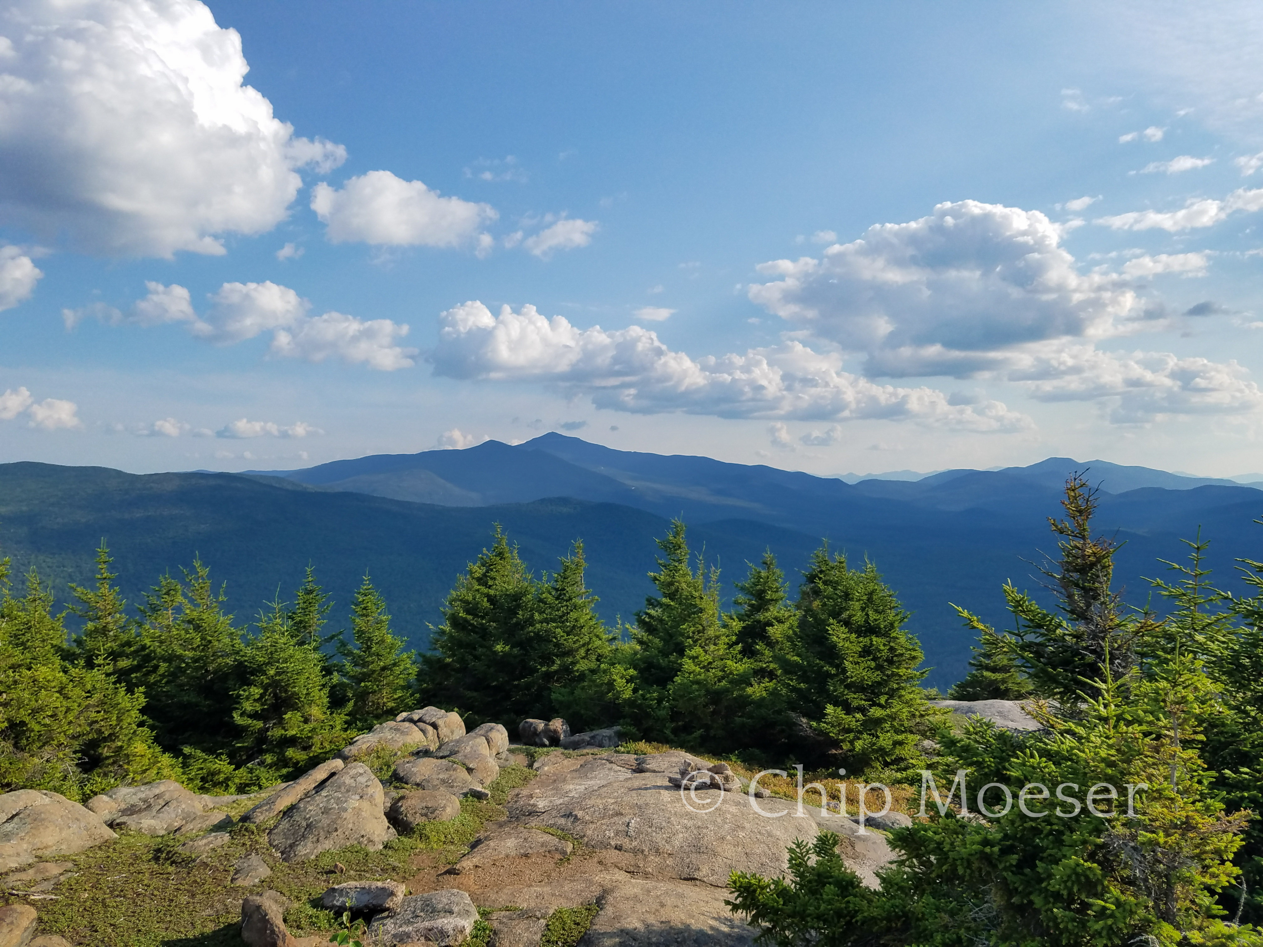
With about a 30 minute push across the ridge I finally made it to the summit. Despite the unpleasantness of the bushwack, the views from the top were absolutely breathtaking! I could see Whiteface Mountain to the south, many other peaks and the views seemed endless.
It was 6:30 and sunset was a little over a hour away. I looked around and though some mountains can offer space within a few hundred feet of the summit that is camp the brush around was simply to dense and I knew my plan to catch sunset and sunrise wasn’t going to work out.
While some people will hike in the dark with a headlamp, not having established camp yet and having a full pack, I decided I needed to descend and find a place to camp. I hiked down about 2hrs and set up camp for the night about two thirds of the way down and 200 feet off trail.
If you are not familiar with the term, “bushwacking” refers to cross country or off trail hiking. The term explains a lot since you are at times literally whacking bushes out of your way. I had not previously done any bushwacking and I can’t say I was looking forward to it. I wasn’t so nervous about keeping my direction as I was apprehensive about getting through dense bush.
I had several tools I was prepared to use not to get lost and to reach my destination. I had the TransADK guidebook, the TransADK maps, a compass and the Google Maps GPS on my phone. Allthough it sounds like GPS might be a panacea for off trail navigation, it’s worth noting, that without a cell signal, while you can still get positioning information, it’s very basic and essentially just shows your direction on a big green square. It also shows bodies of water and even some small streams which can be very helpful. There are also battery concerns or technical failure to keep in mind. Certainly not a perfect solution. It was one more tool in the set though and I was greatful for it.
The guidebook had a pretty thorough description of where to begin and where to head to from there. There were 3 bushwacks today. 2 relatively short ones and one to the summit of a Mountain. As I reached the area of woods I was supposed to enter, I put on my gaiters, took a deep breath and plunged into the woods.l trailess for the very first time.
It was definitely a little awkward for someone who was used to trail travel. As I had expected dense areas of spruce were the most difficult to move through, with their hundreds of branches and thousands of tiny needles that always seemed to grow right to the forest floor. One of the most notable differences almost immediately was the amount of effort needed to cover such short distances. I was certainly getting a workout over less than challenging inclines or at times even small downhills. I pressed forward trying to avoid the densest brush while working to maintain my course through the woods. I navigated keeping the direction I had when entering with the west to my right and south in front of me and using my compass for course corrections. Occasionally I would pull out my phone and pop open the GPS for a quick look to confirm I was making the correct decisions. I was spot on and having no directional issues.
I certainly didn’t enjoy it, and was not looking forward to more of the same but after about 1.5-2 hrs I successfully found the snow mobile trail in was supposed to connect with. I felt at least i had some confidence in my ability to complete the task even if not take pleasure in it.
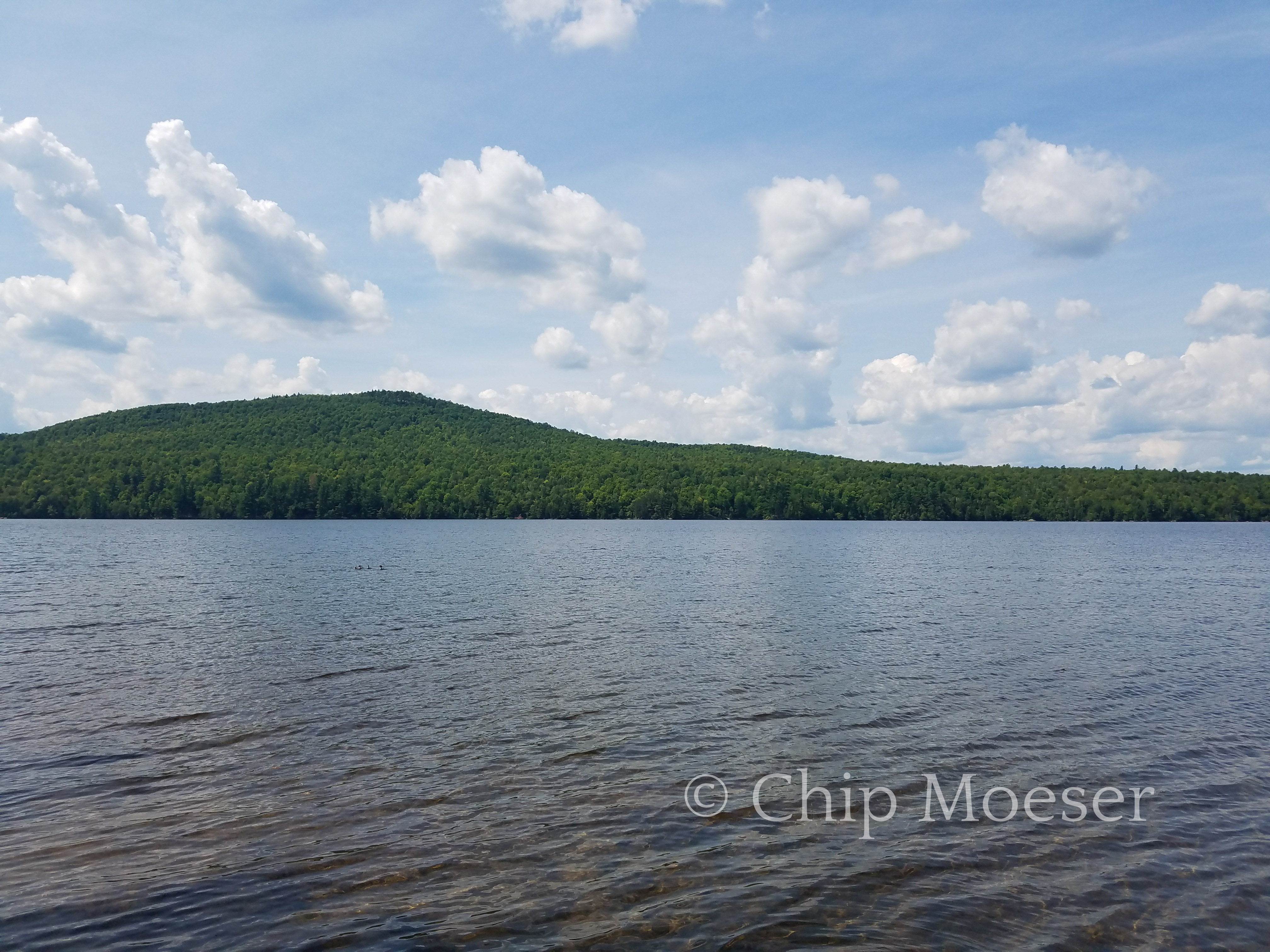
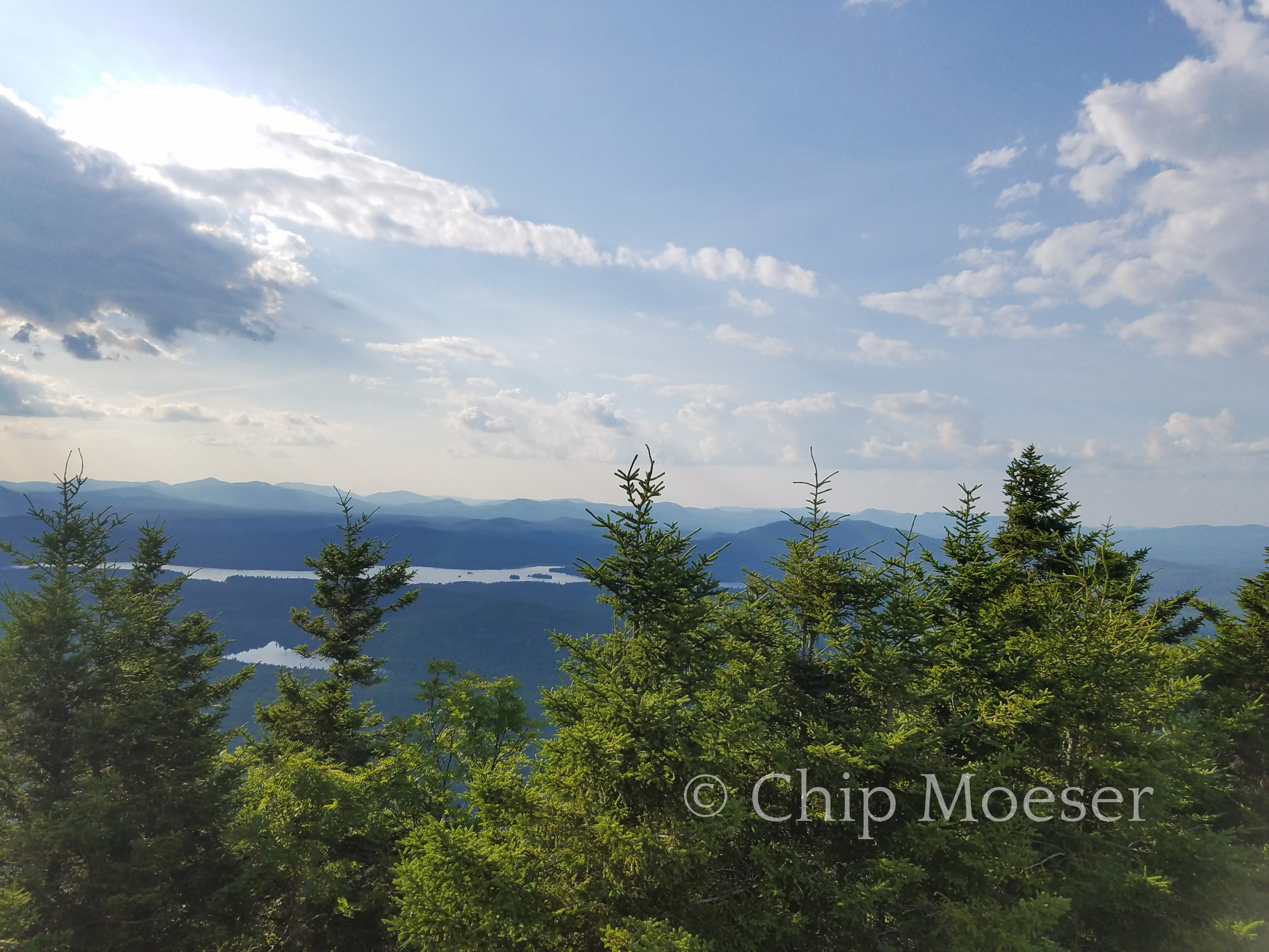
The snow mobile trails were a bit of a maze and had no directional signs but were navigable. I made a short wrong turn or two, never loosing more than two minutes in the wrong direction and even once coming out shore side of Taylor Pond with my first views of the High Peaks including the distance and Catamount the mountain I was to summit later on the shore across the pond. The views were just spectacular and I was excited and filled with anticipation of the hike ahead.
I’m leaving Silver Lake today. Have had a day and a half or so for my blisters and black toes to rest up. I hope it’s enough. Planning on hiking to Catamounts today. It’s illegal to camp above 4000 feet in the Adirondacks. Mostly to prevent damage to fragile alpine environments but also because well thunderstorms are quite common in the northeast in summer and you don’t want to become charcoal. Since Catamount is a little under 4000 feet and one of the few mountains I will climb that is, I plan to camp just below the summit and try to catch both sunset and sunrise.
Today will mark the end of section 1 of the Trans Adirondack Route and the end of road walking.50 miles so far. It will also mark the beginning of bushwacking, cross country or off trail hiking. It will be my first time attempting such hiking. I have the confidence I am both experienced enough to handle anything going wrong and studied enough to correctly navigate my way.
Daily Recap: Leaving Silver Lake, My First Bushwack, Catamount Mountain
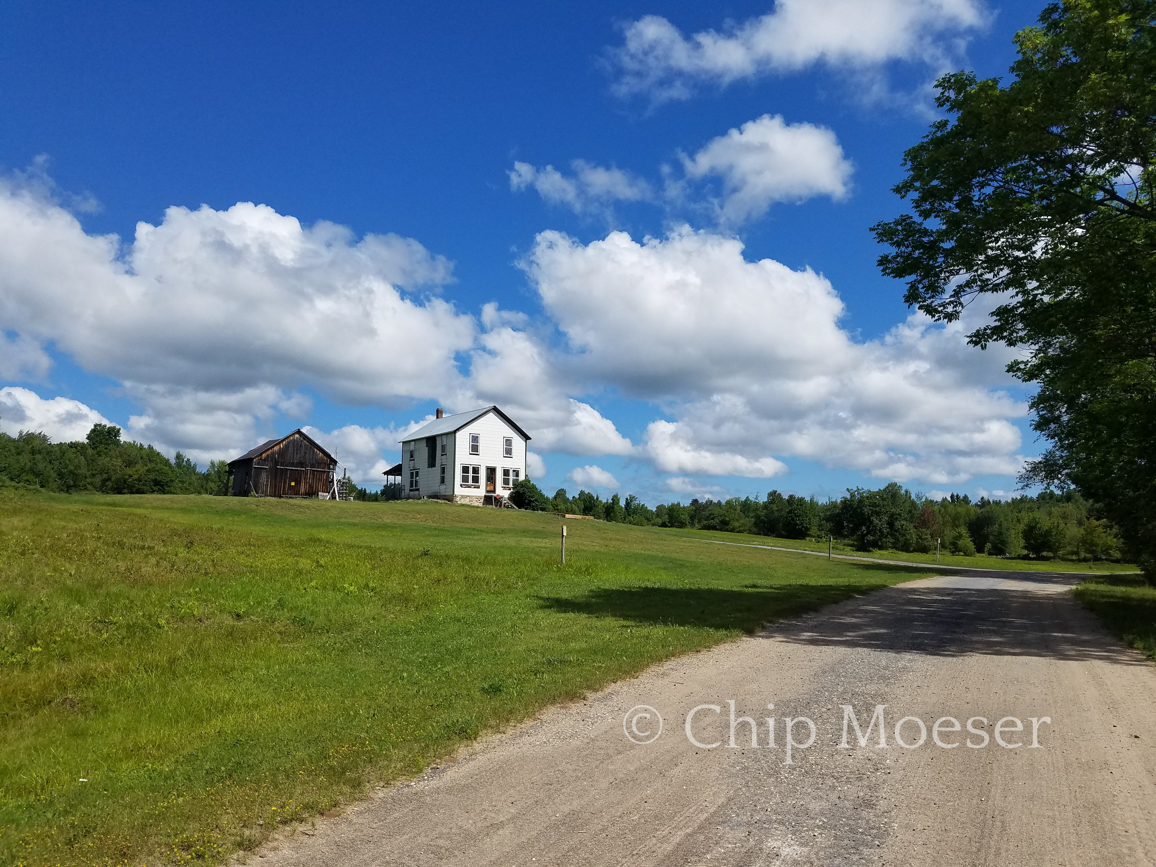
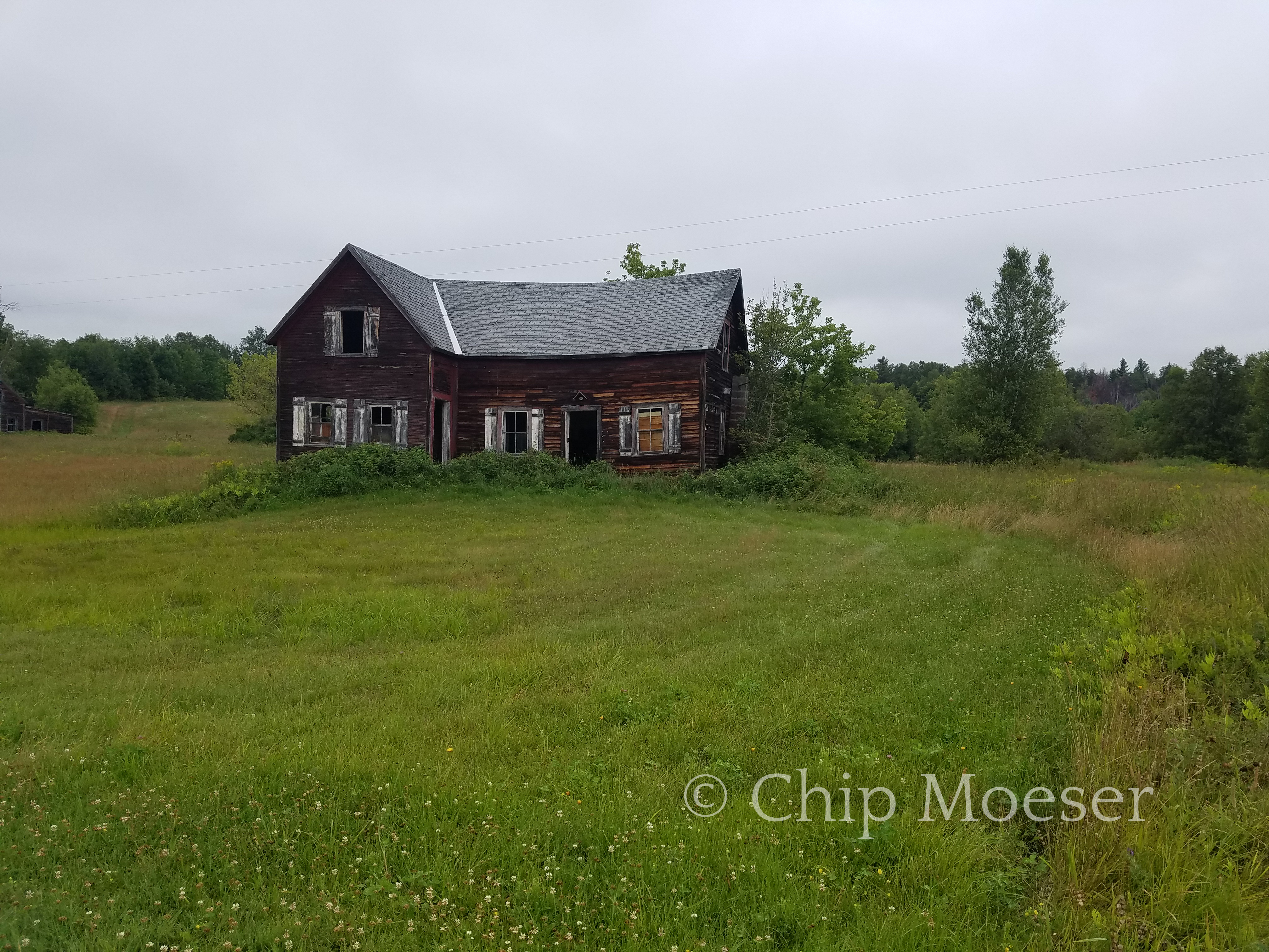
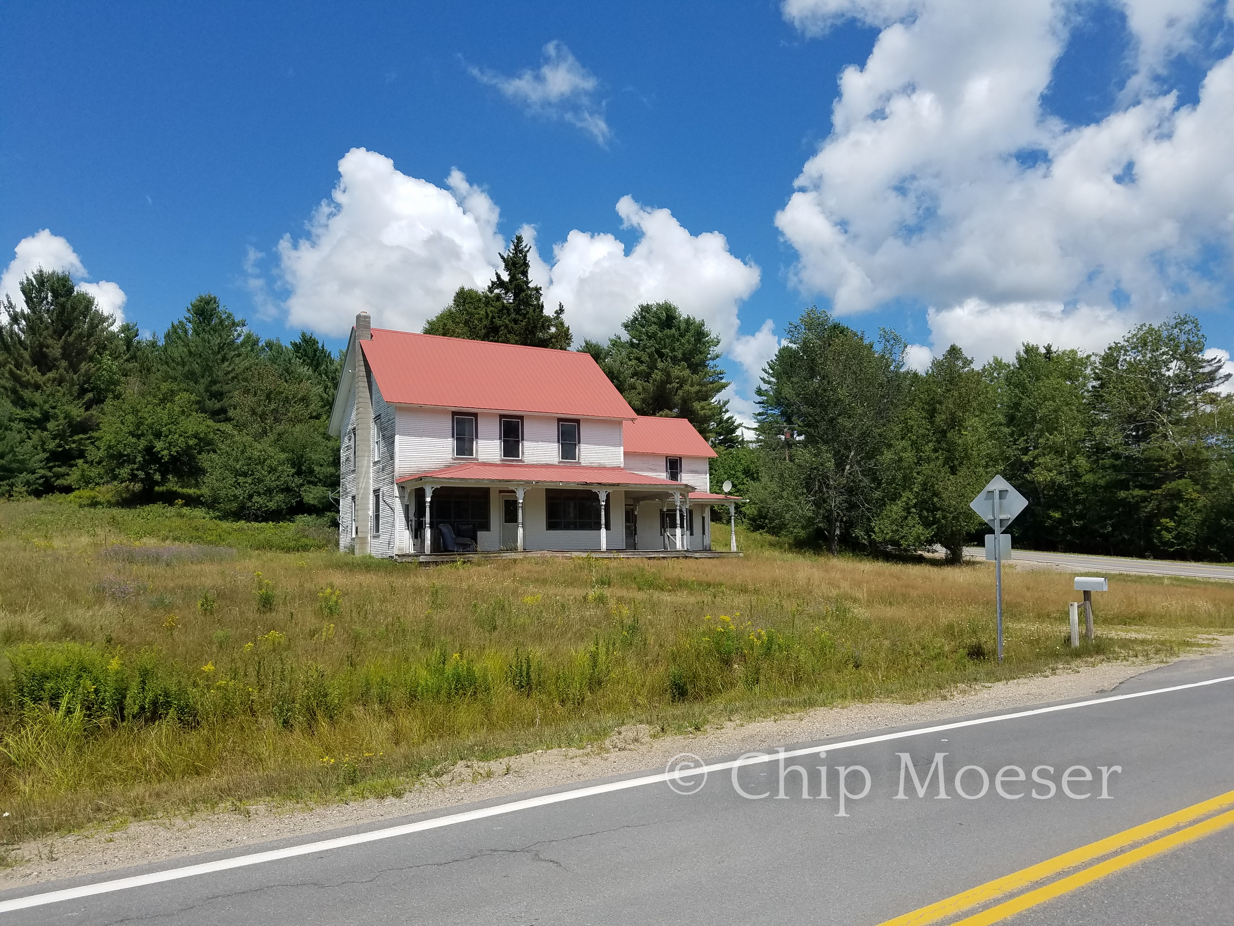
Just a few of the houses in the middle of nowhere.
I saw wasps while at the annex in Silver Lake. Don’t think I’ve seen a wasp since I was a child in CT. I guess wasps don’t thrive in New York City. Plenty of bees there though.
Zero miles day at Douglas Silver Lake. Slept, drew, sat by the lake, watched the sunset, did laundry, blisters recovery. Very nice day.
Ironically in a row. Keep reading. It will get better.