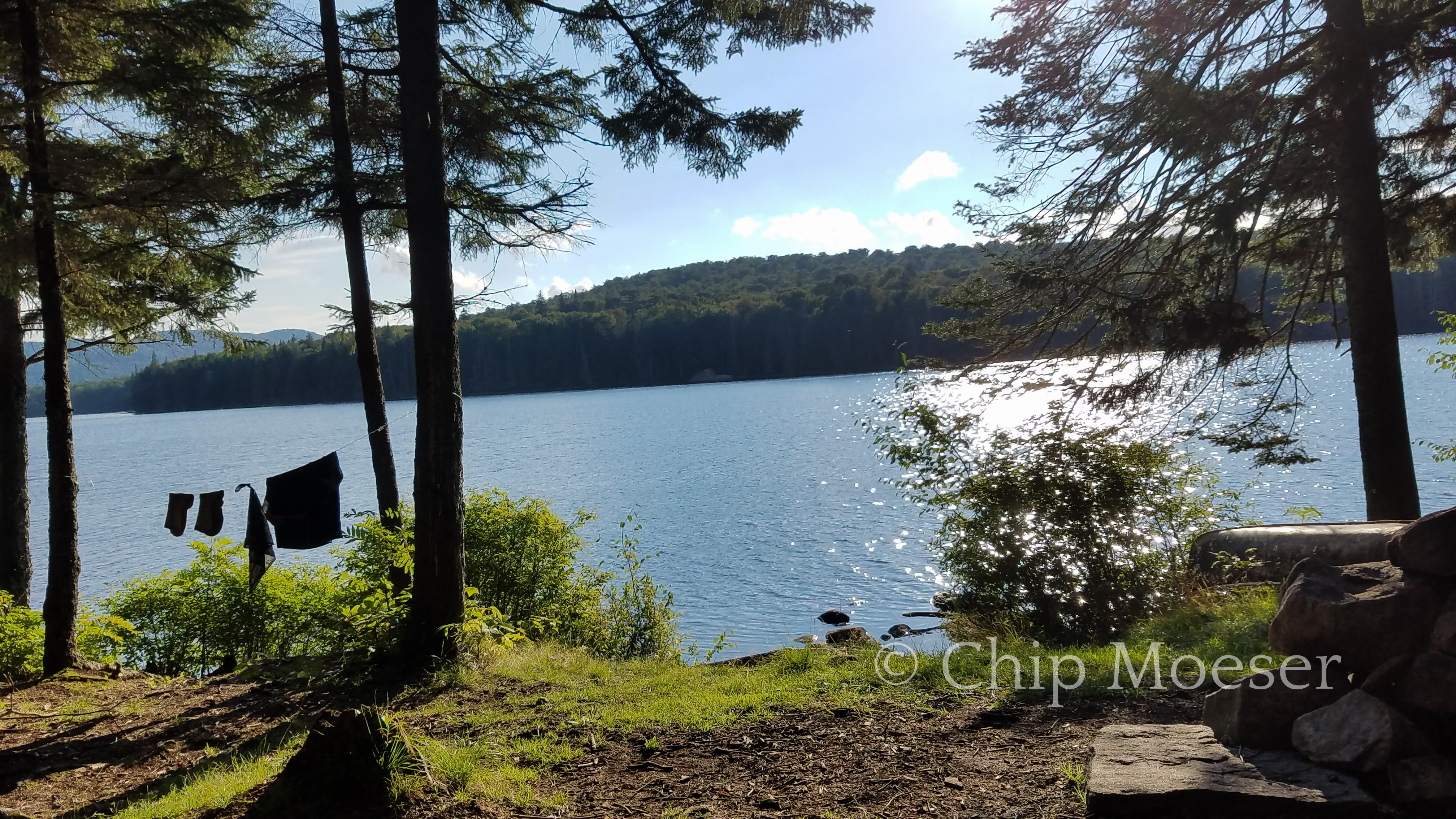
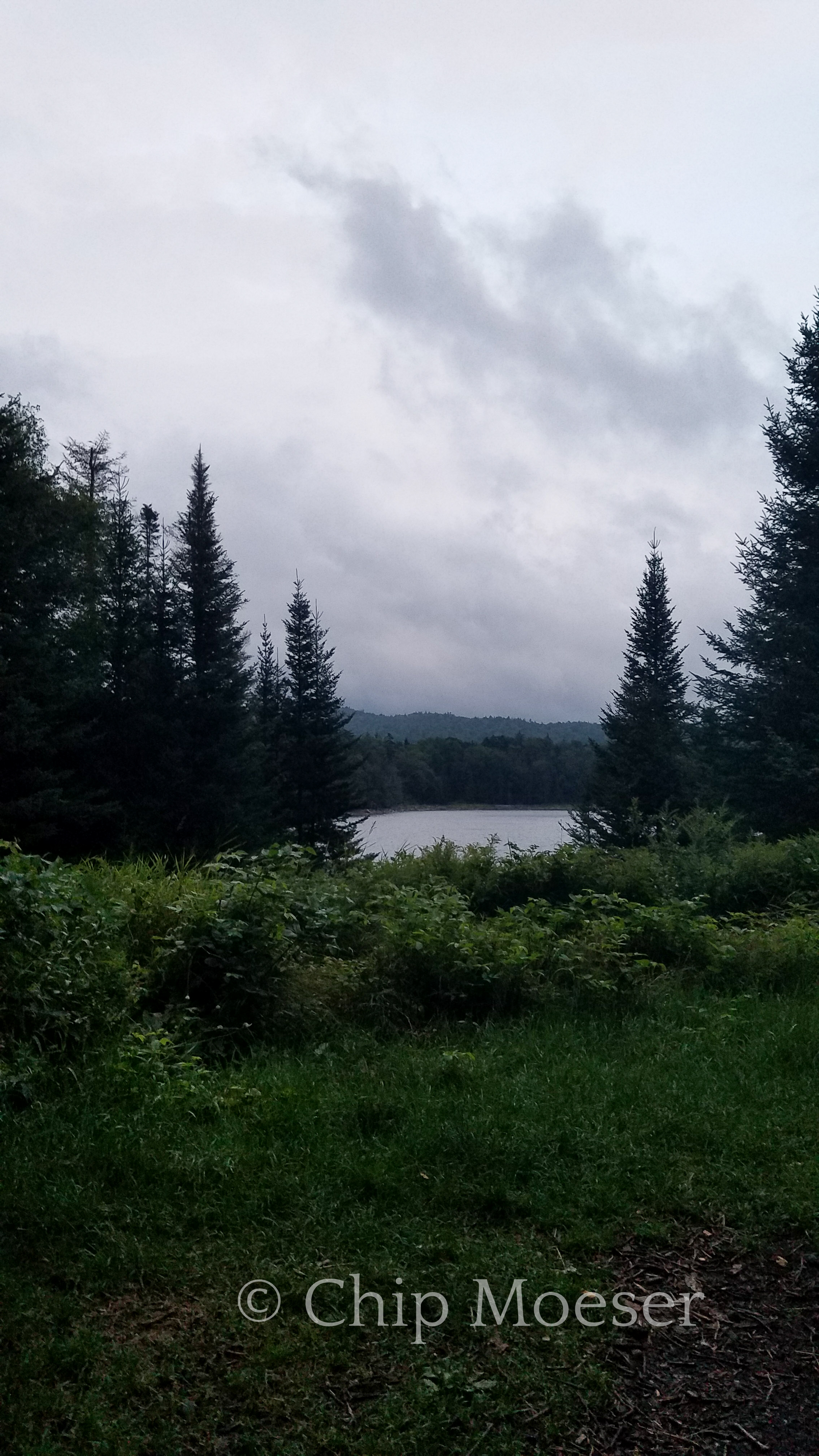
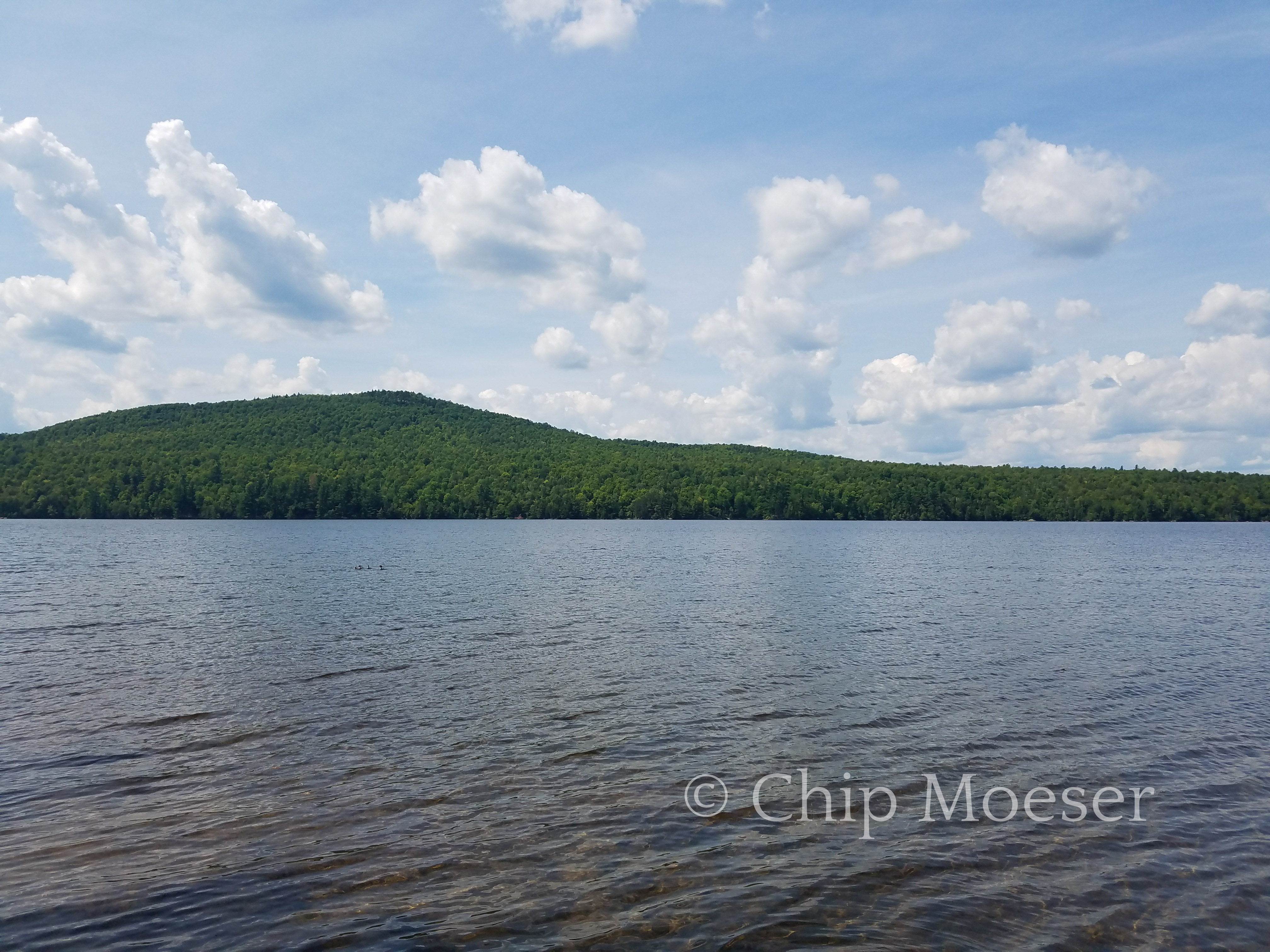
I arrived at Spruce Lake around 3pm today. It was still another 11 miles to Piseco and in case I couldn’t find a room there I figured it was best to wait till morning before making the push to town.
I stopped at the Spruce Lake lean-to #3 near the northern end of the lake. It was unoccupied but being it was so early I didn’t get my hopes to high. I made dinner, set up my hammock and put my clothes out to dry.
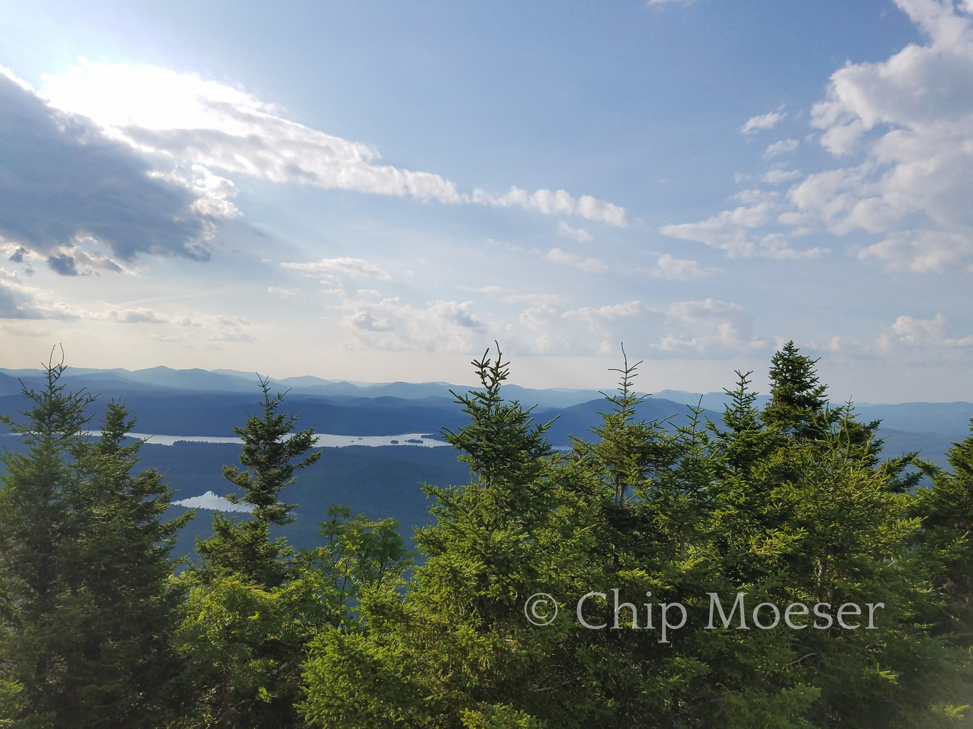
As it got later and no one else came a feeling of peaceful serenity set in. This was absolutely one of the quietest and most serene places I had ever been. I reflected on how this place was as it was because you could only reach it by foot. No motorized travel was allowed here and it was miles from roads, homes and people in general.
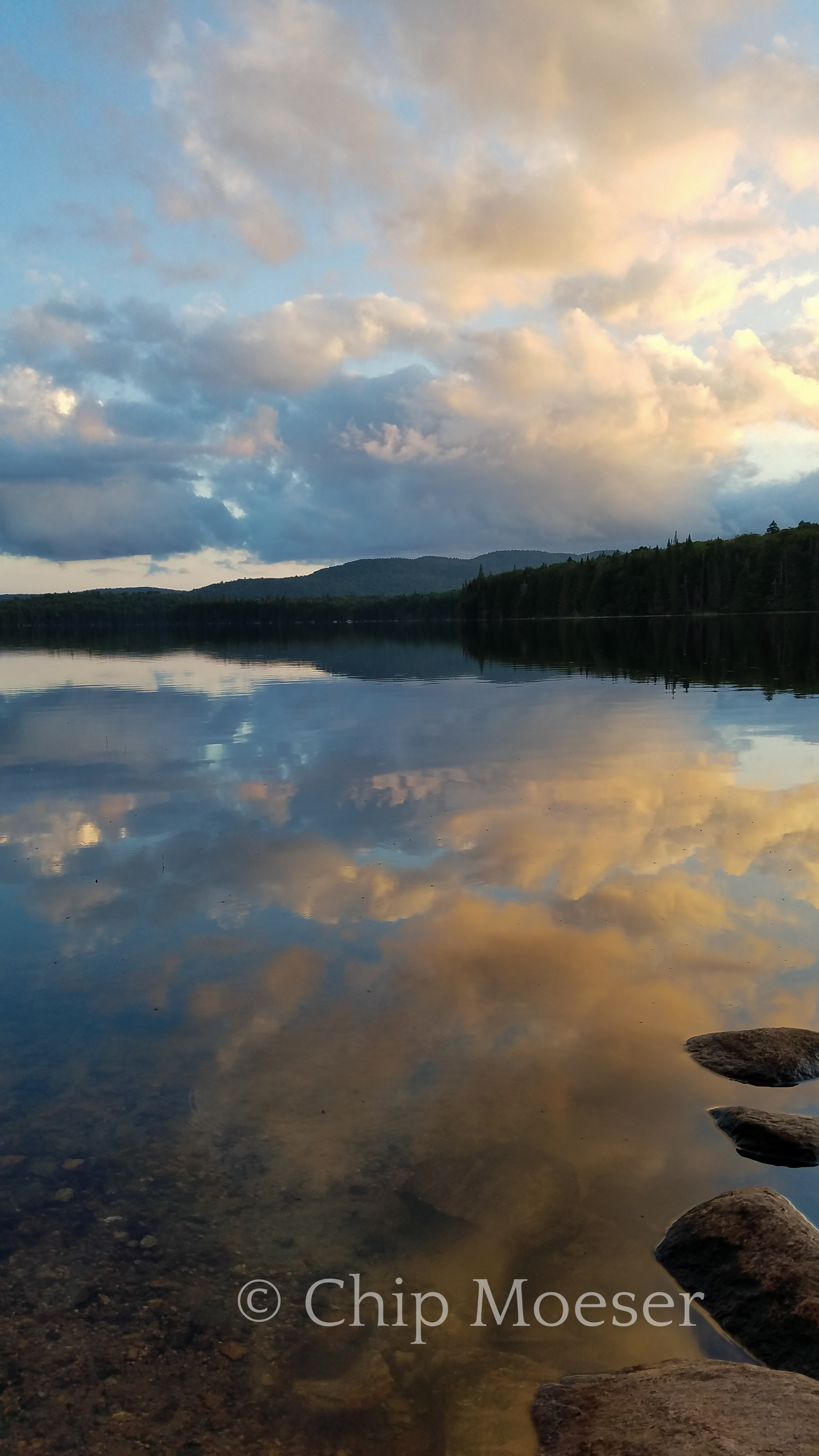
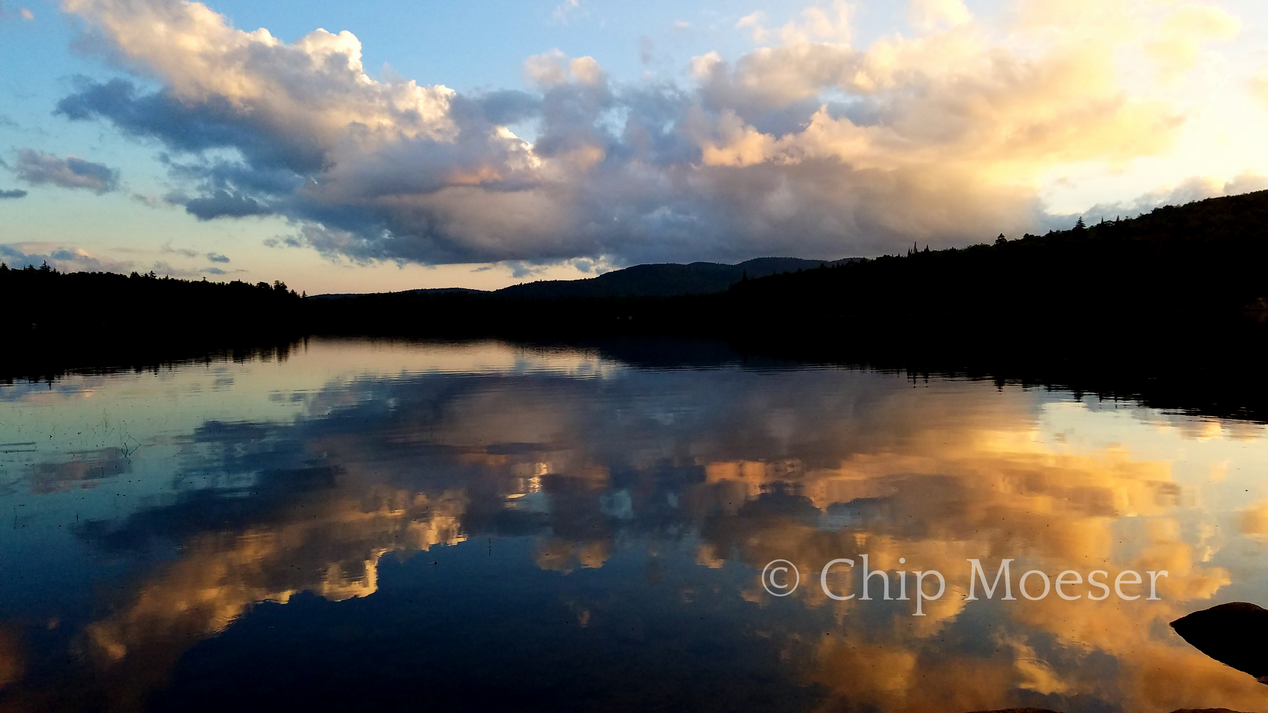
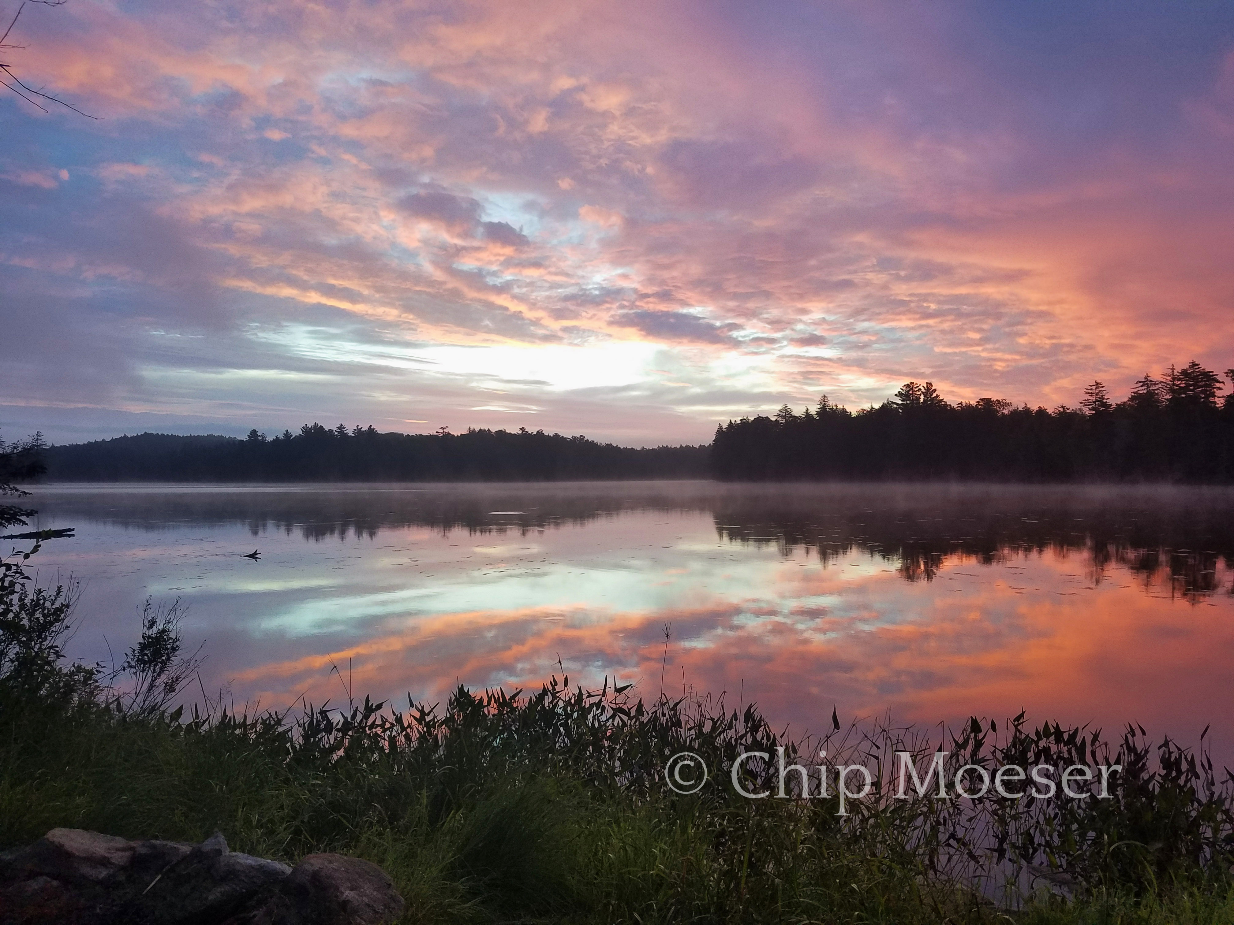
I watched a baby loon with its mother and listened to it try and learn the loons song. Dragon flies gracefully danced in and out of my view. I watched the clouds move over the lake as the sun set. I am truly as at peace as I have ever been here in this place now.
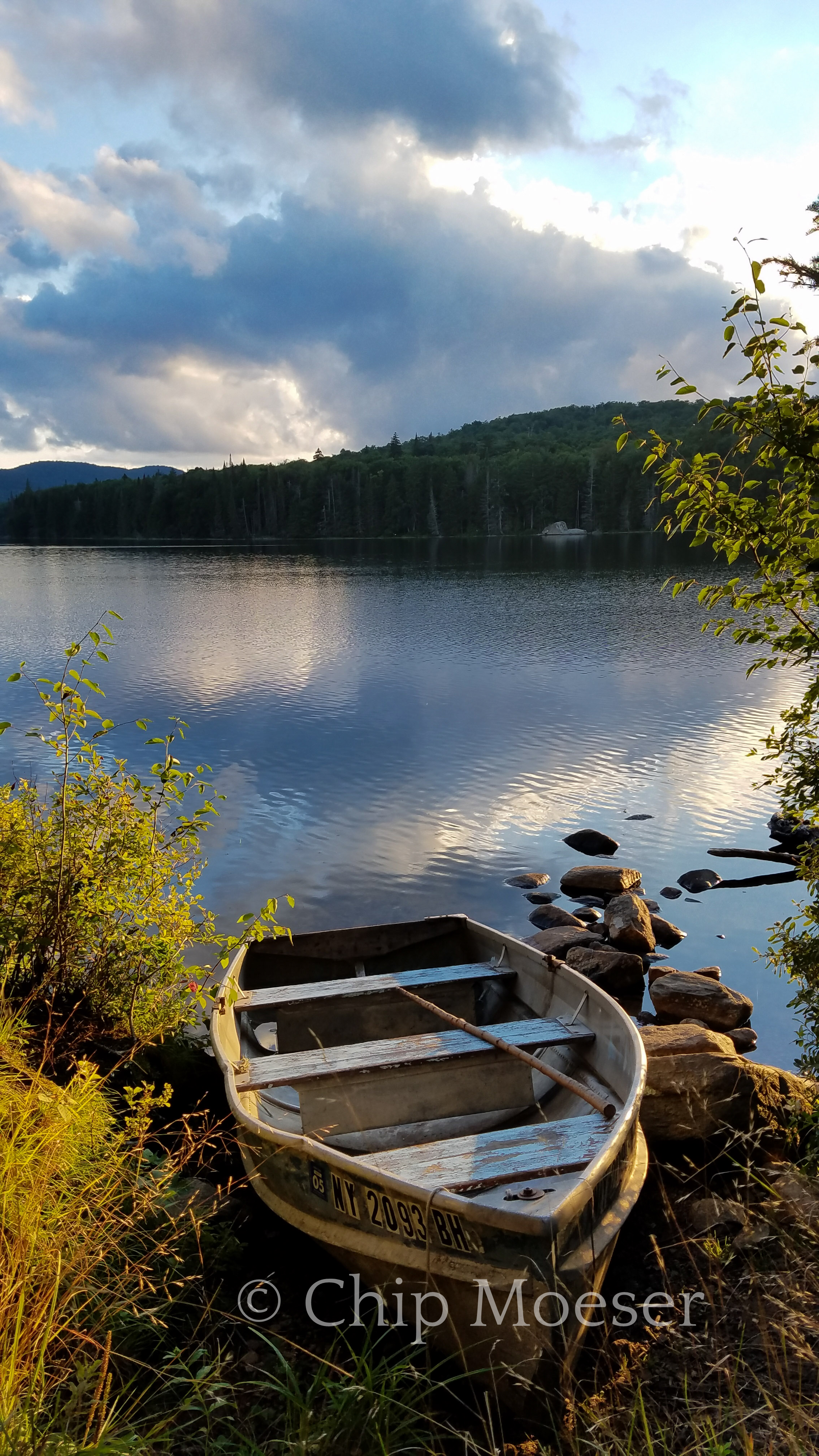
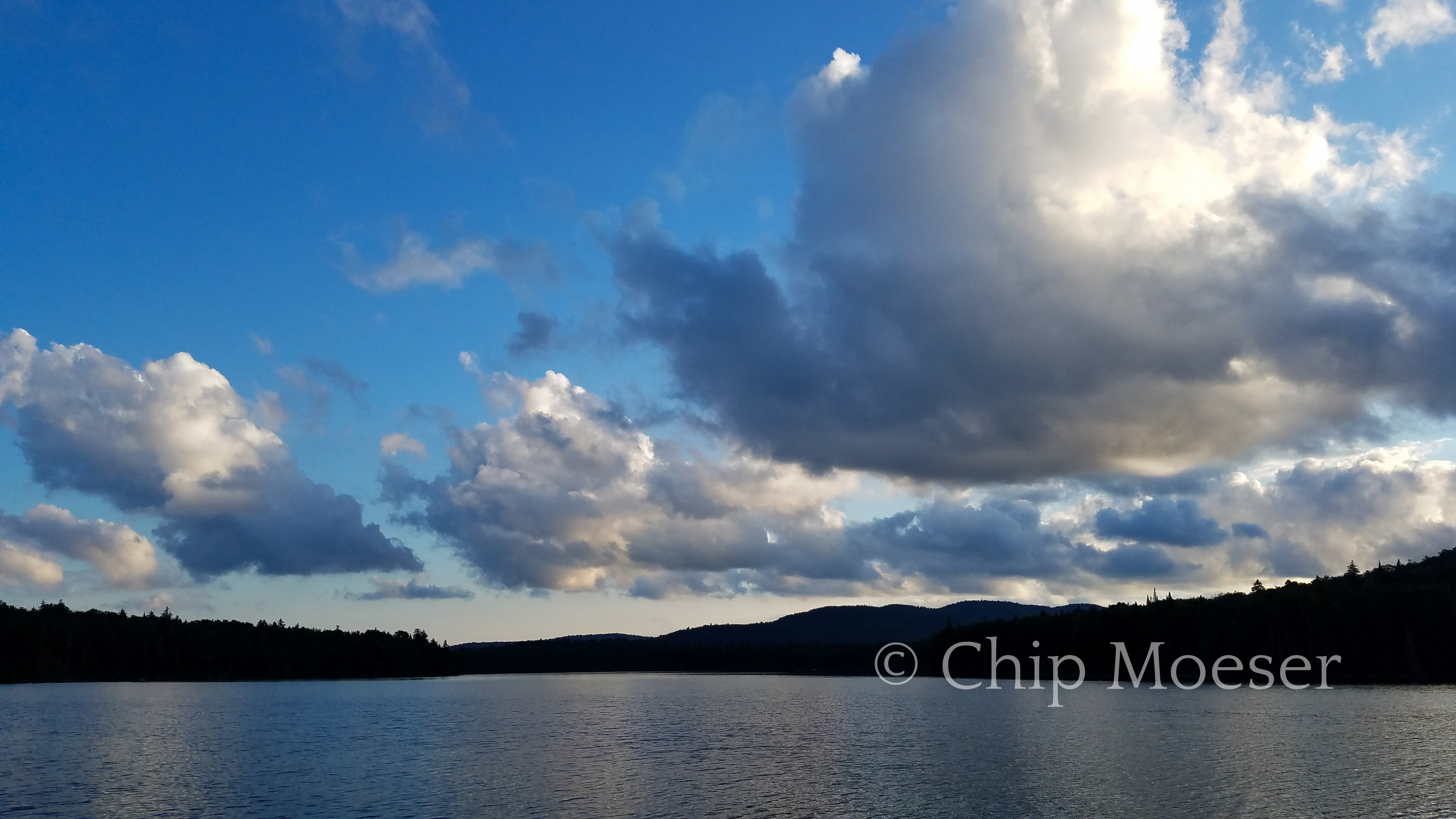
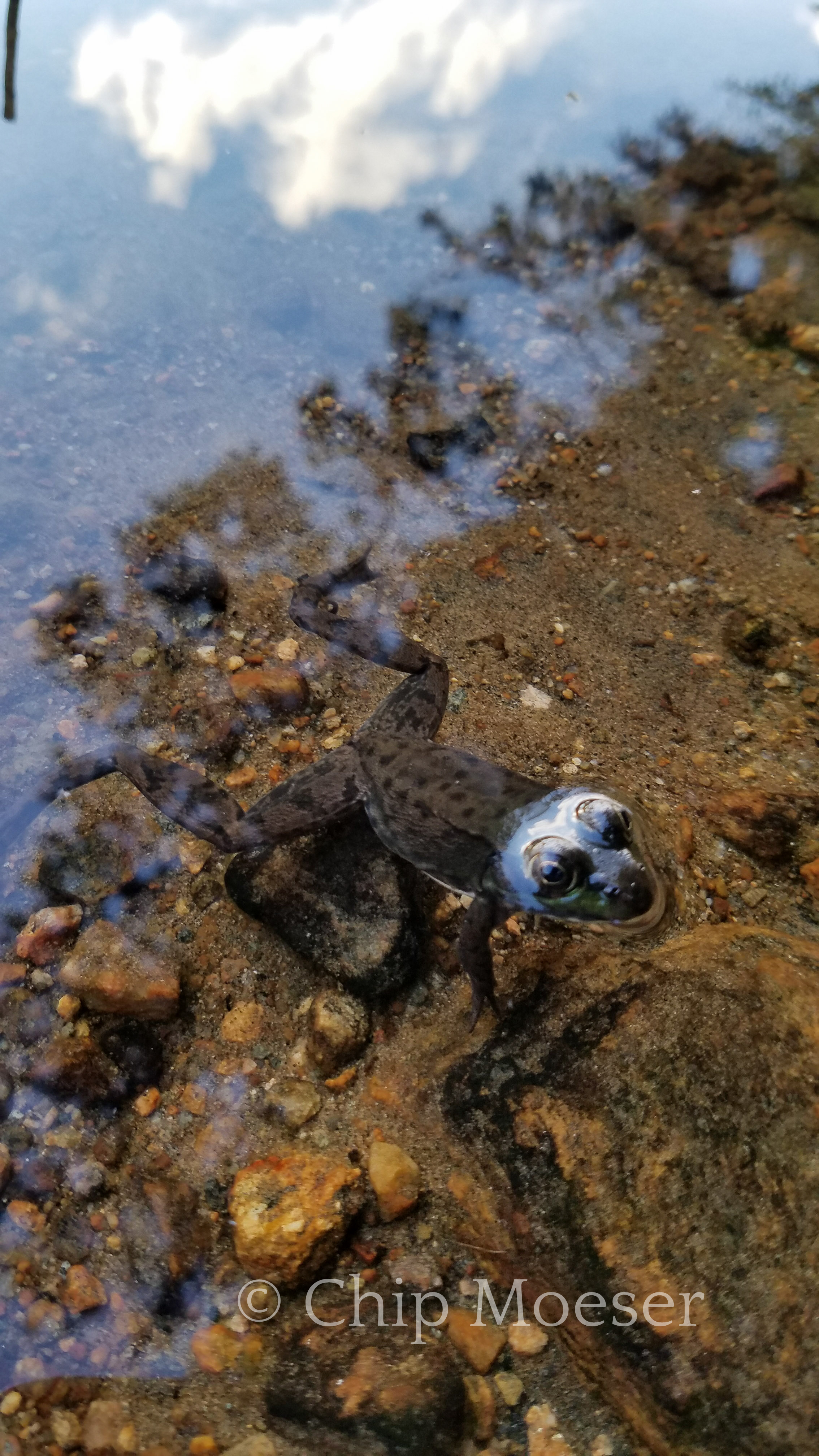
Sunset & clouds over Spruce LakeBoat by Spruce lakeClouds over Spruce LakeSunset & clouds over Spruce LakeSunset & clouds over Spruce LakeToad in Spruce LakeView from Spruce Lake lean-to #3″Hammock at Spruce Lake
I figured since I was up early this morning and dry I would pack up and try to get in at least a few miles before the rain.
Just because that’s the way it goes, no more than 10 minutes after I set out the rain started. Light at first but over a period of about 2hrs it became fairly moderate. I was in surprisingly decent spirits. I thought back to my experiences hiking in the rain on the Appalachian Trail in Maine and told myself this wasn’t nearly as bad. The terrain on the Northville Placid Trail was much more forgiving than the swamps of northern Maine.
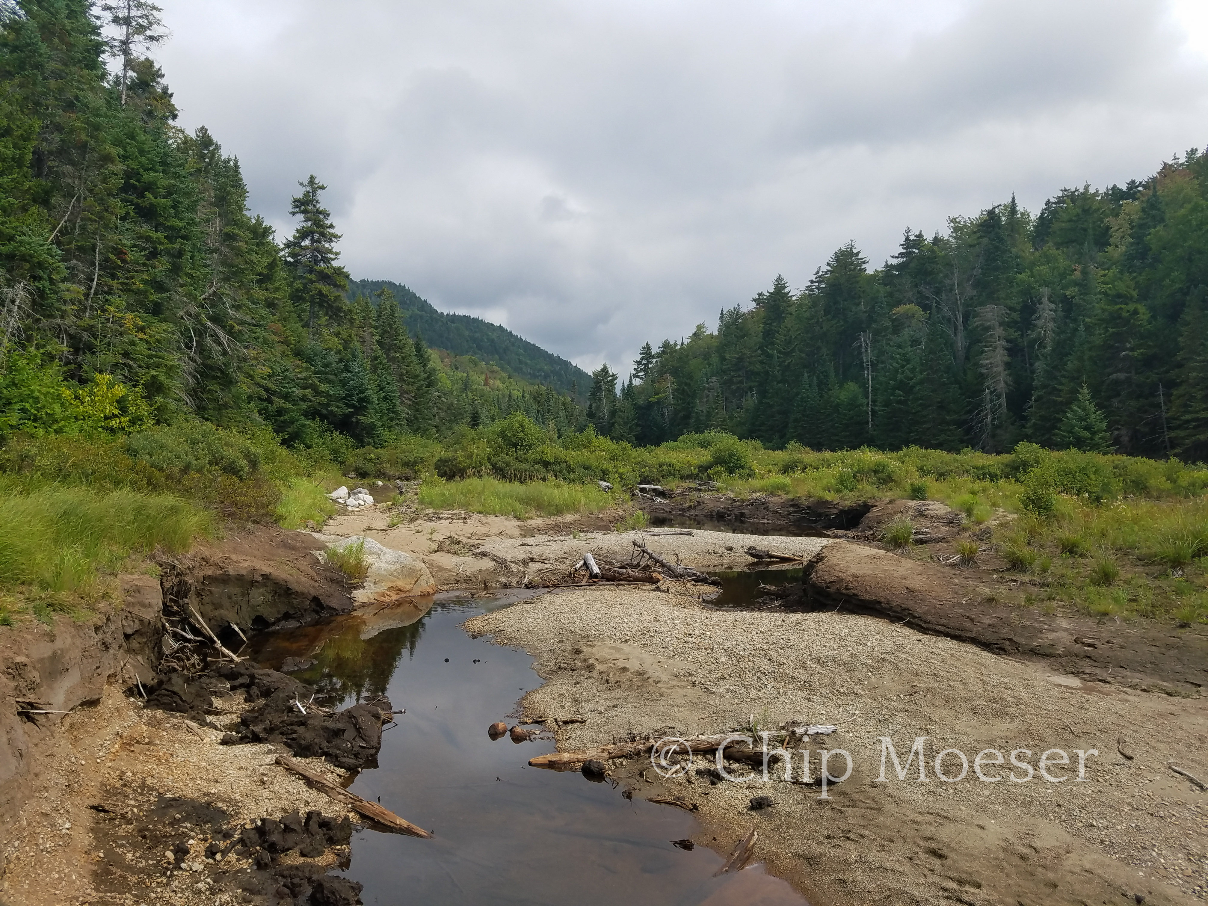
I hiked for 7 hours pushing through increasing mud, rising streams and slippery trails with stubborn determination. Around exactly the 7 hour mark it began to really open up and come down. My feet which were as I would have described at that point “pretty damp” were now nothing but giant sponges which squished and poured out buckets of water with each step. Moving a few feet was becoming very laborious and not a inch of me was dry but I was almost to the next lean-to and the Cedar Lakes.
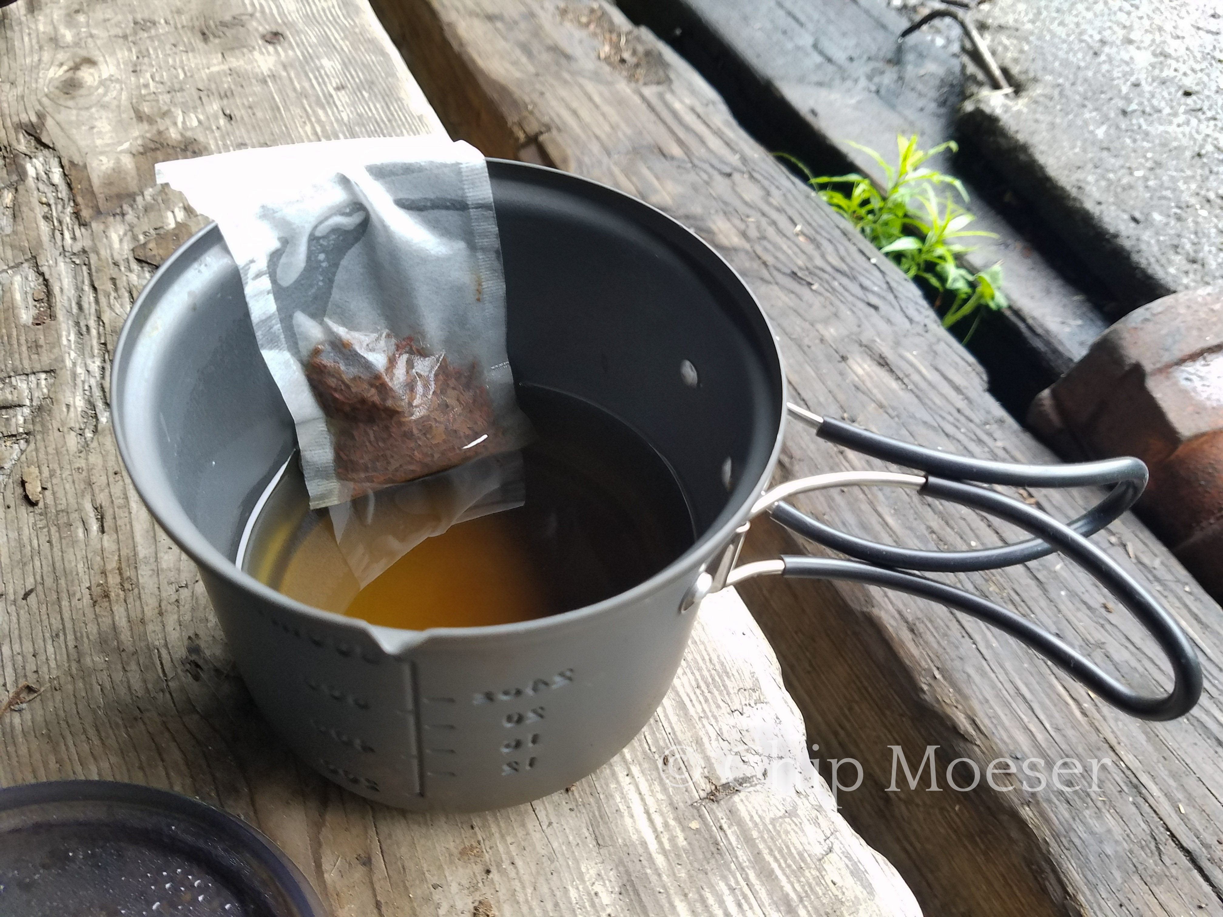
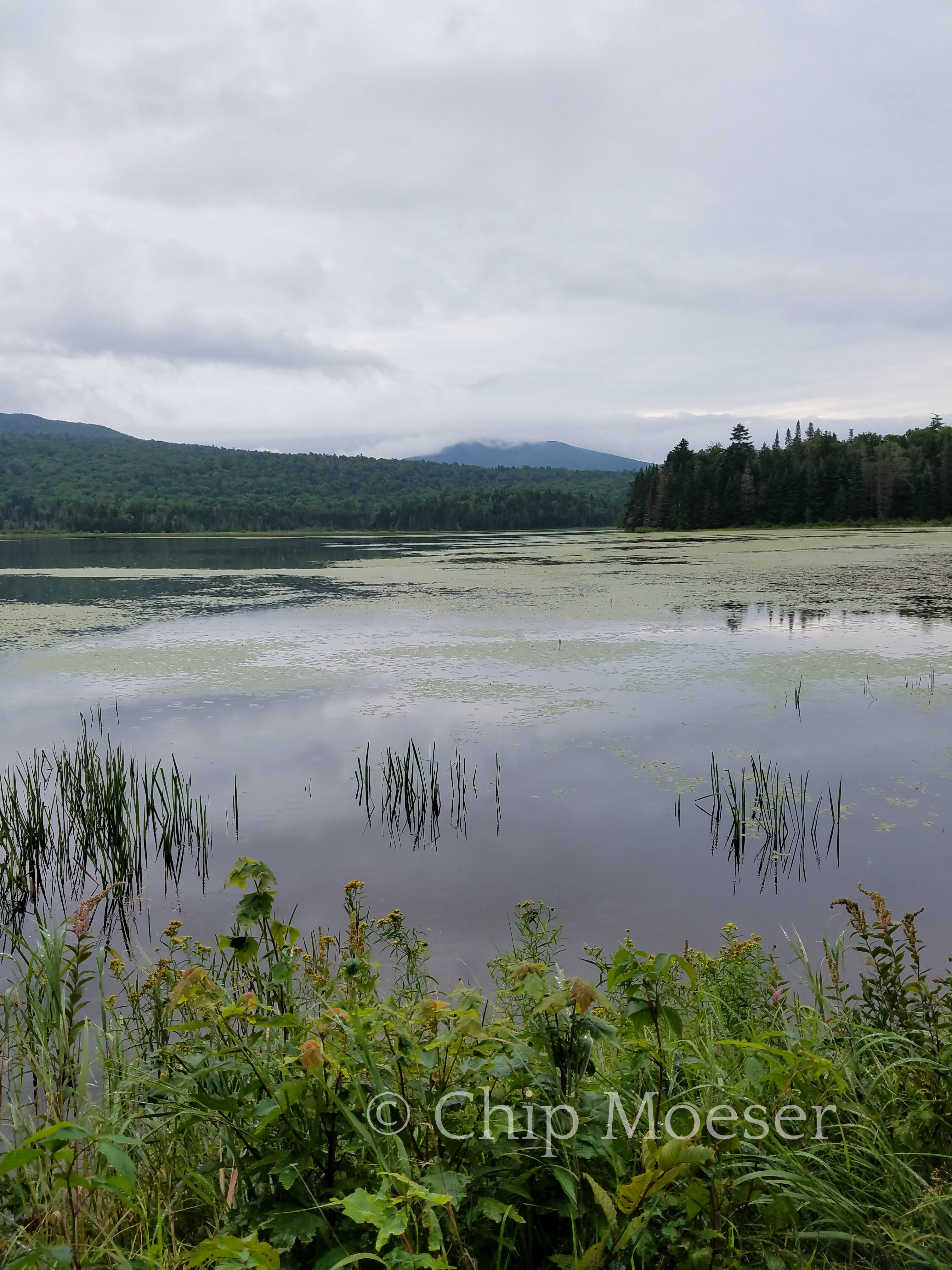
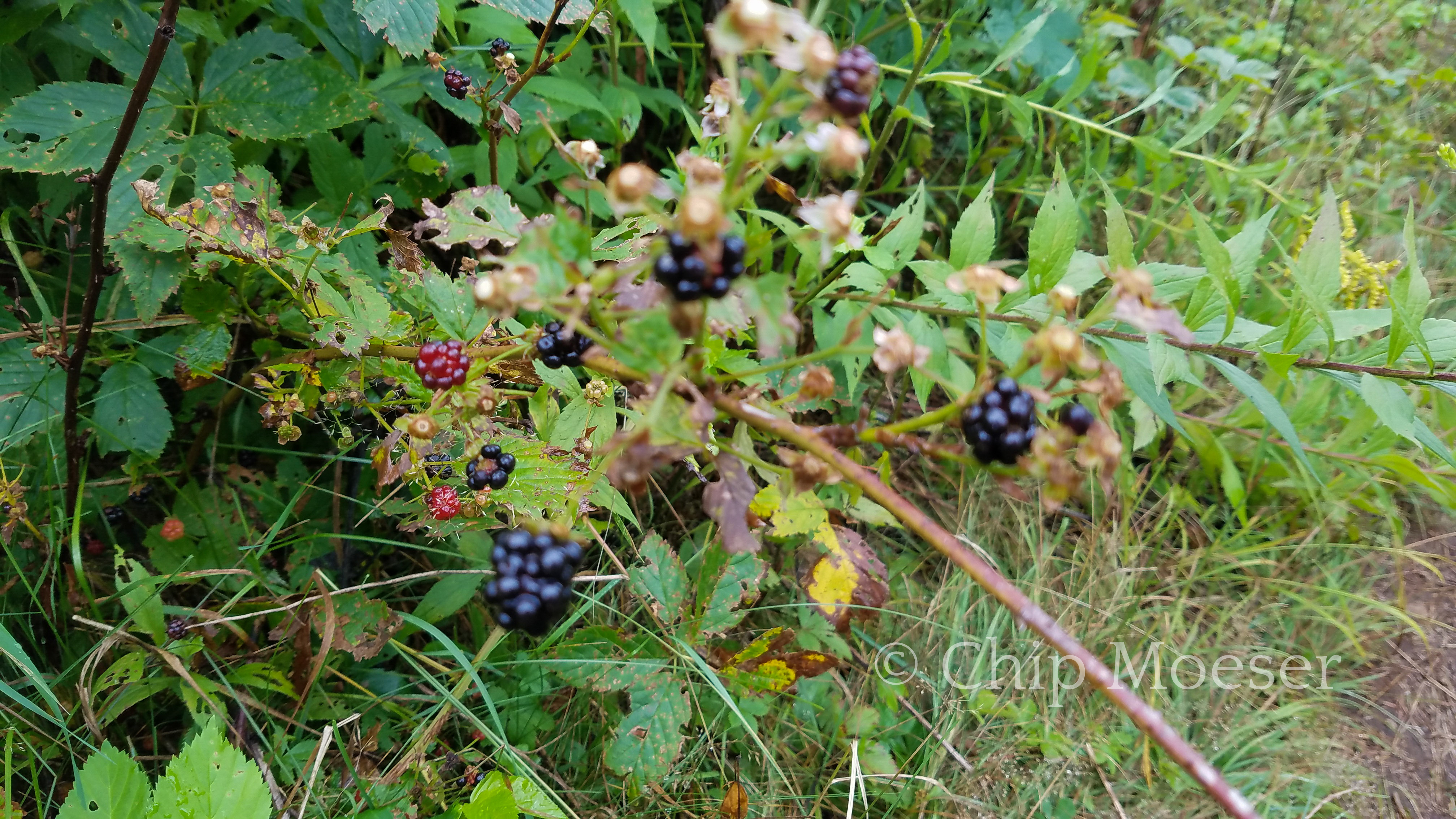
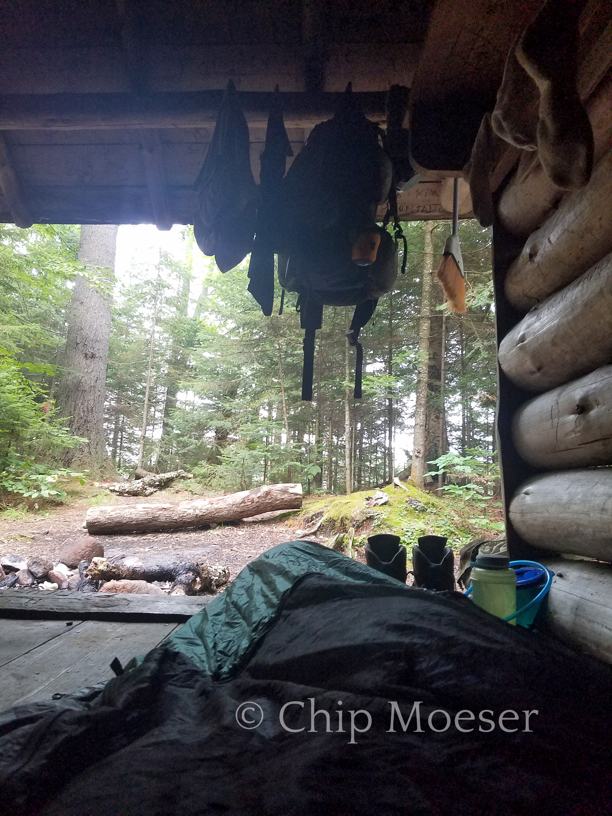
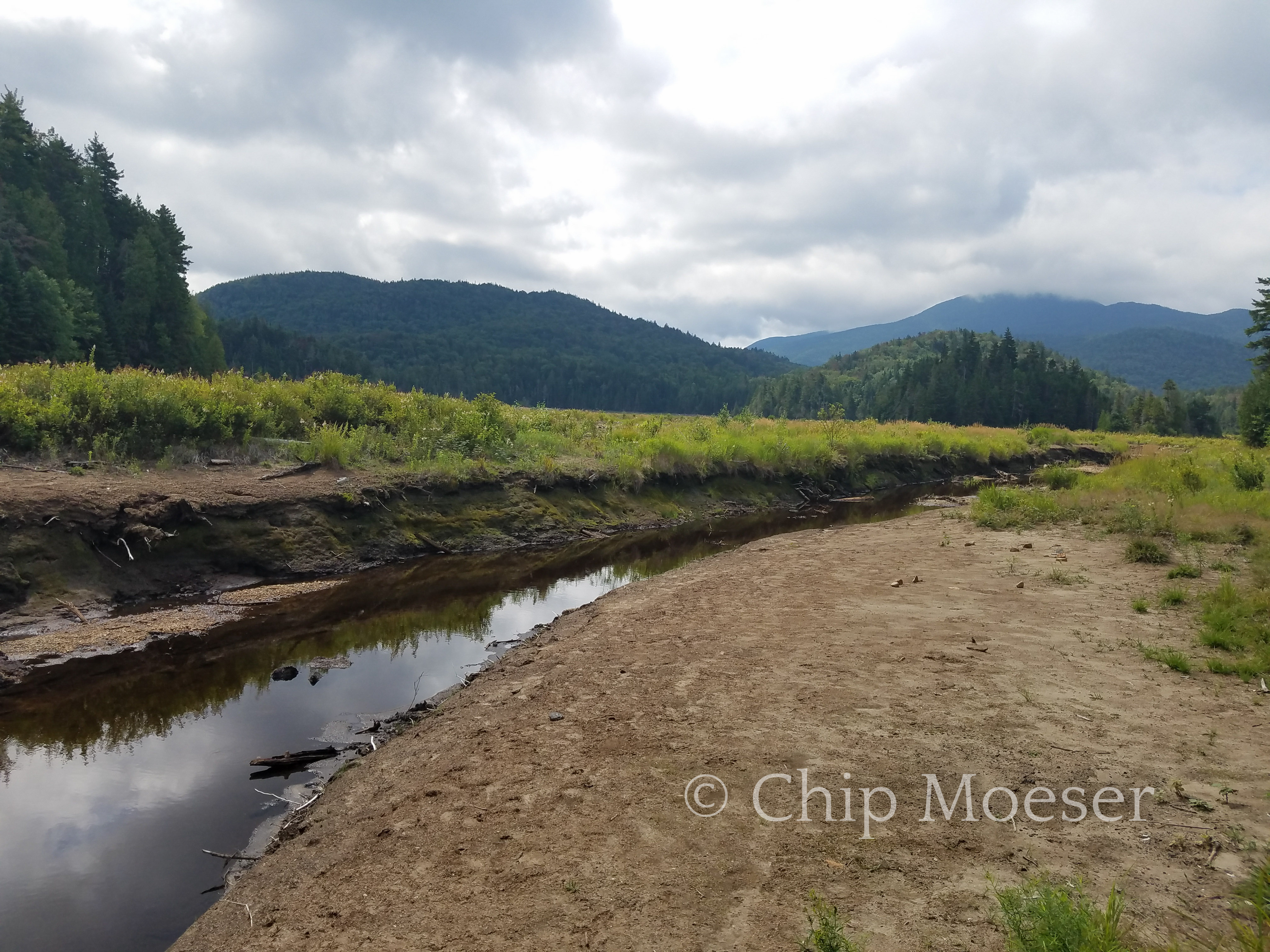
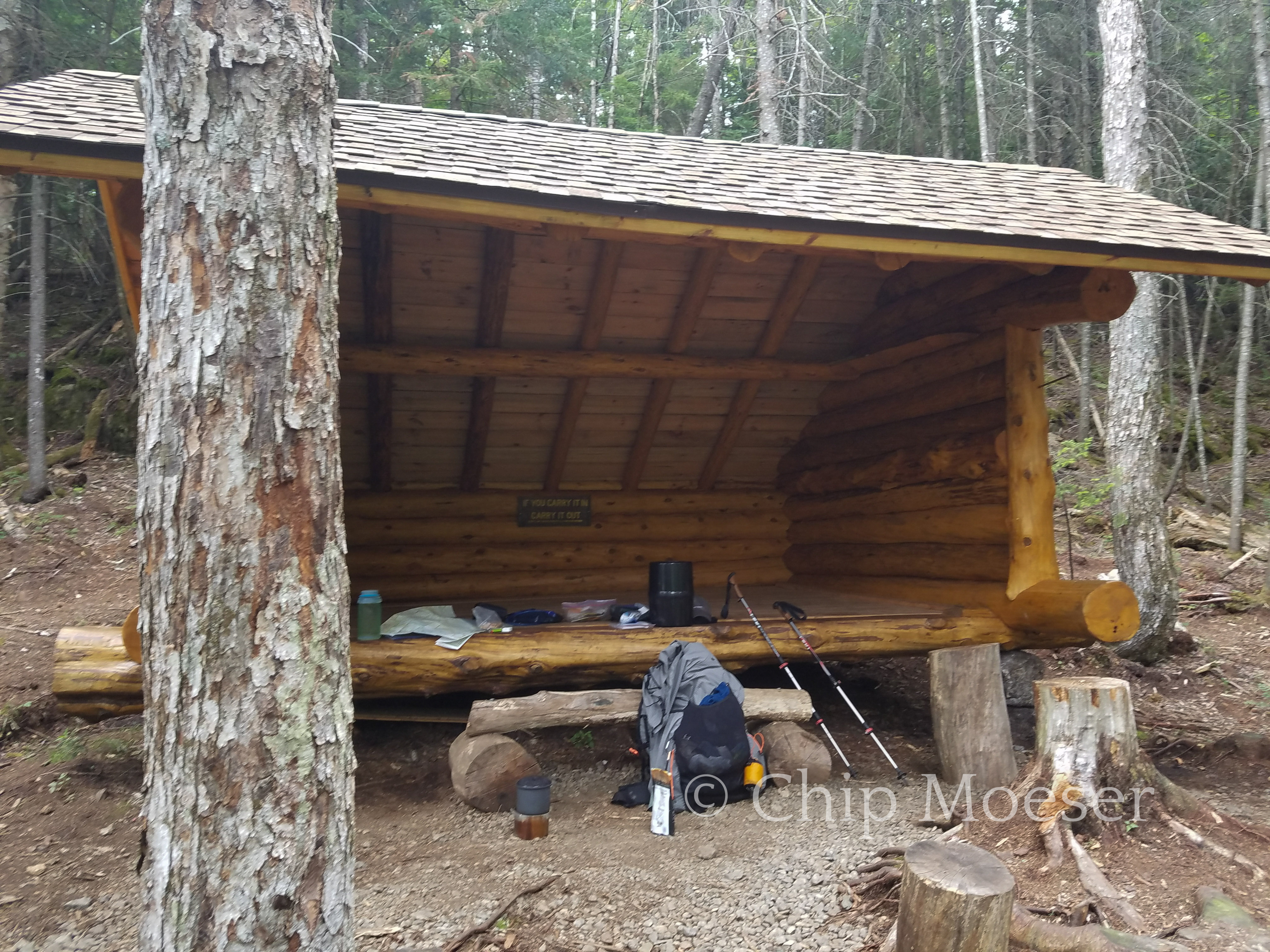
I reached the Cedar Lakes and the first of 3 lean-to’s along the lakes around 3pm. I’m not so wild about staying in lean-to’s but they offer great protection from the rain. I stopped to look at the lakes and thought to myself how beautiful it must be here but I was soaked and needed to dry out. I have learned while you will eventually need to hike in the rain it is extremely important to make sure when you are done so to have dry clothes to sleep change into after. So of course I had buried in several bags and ziplock bags, a set of dry sleeping clothes which I gratefully changed into while I hung the rest of my wet clothing. Also there’s a reason I pack a few loose leaf tea bags with me. These days are just such a reason. Nothing better than dry clothes and hot tea after hiking 8hrs in the rain!
As I sipped hot tea and settled into dry clothes I took a look at the maps and guidebook to see what lie ahead. I knew the Trans Adirondack Route would veer of course from the Northville Placid Trail soon and closer attention to navigation would be required. As I read the guidebook I realized the next section was an off trail bushwhack and not just that a fairly substantial looking one from the maps. I have to admit my spirits are dampened in several ways. My previous off trail experiences were less than fun and I honestly just didn’t want to do any more bushwhacking, especially not in the rain. I was determined to complete the route as laid out so I just deiced to wait and see what tomorrow will bring.
I made dinner and quietly sat back watching lightening and storms gustily blow through from the dry lean-to.
Hot organic loose leaf tea!Cedar River Flow leading up to the Cedar LakesView of the storms from Cedar Lakes lean-to #1Cedar Lakes on a stormy afternoonBerry bushes surrounding the lean-to had me a little uneasy about bearsGeorge looking out from Cedar Lakes lean-to #1
I awoke this morning after spending my first night in a lean-to. I knew the day was supposed to be a wash out. I saw the pinks of the sunrise and jumped from my sleeping bag, literally running down to the shore to catch the good light. Sure enough it lasted no more than two or three minutes, then the sky was all gray.
After making nearly 20 miles today from in town at Long Lake I arrived at the State campground in Lake Durant. It is supposed to rain very heavily tomorrow and my plan was to reserve 2 nights, take a zero miles day tomorrow and head into the nearby town of Blue Mountain Lake to visit the Adirondack Museum. When I arrived at the booth I was told there were no hammocks allowed at the campground. In some respects I can see why they might have such a policy but I use tree straps for my hammock so the ropes don’t damage the tree. Seems like a bad blanket policy.
I am very disappointed as I was looking forward to seeing the Adirondack Museum. Short of staying at Lake Durant and hitching into town I’d be going pretty out of my way. So I pushed on another 5 miles or so and made it to Stephen’s Pond lean-to.
The rain is supposed to start pretty early and I’m shot from nearly 25 miles today so I’m spending my very first night ever sleeping in a lean-to after 70 or so nights in the woods. Lean-to’s are generally dirty, attract rodents, and no where near as comfortable as a hammock but I’m super exhausted and well, don’t knock it till you try it…Mosquitoes are horrendous here so I’m using my hammock and its bug net like a bivy. I can hear a army of them buzzing around me right now.
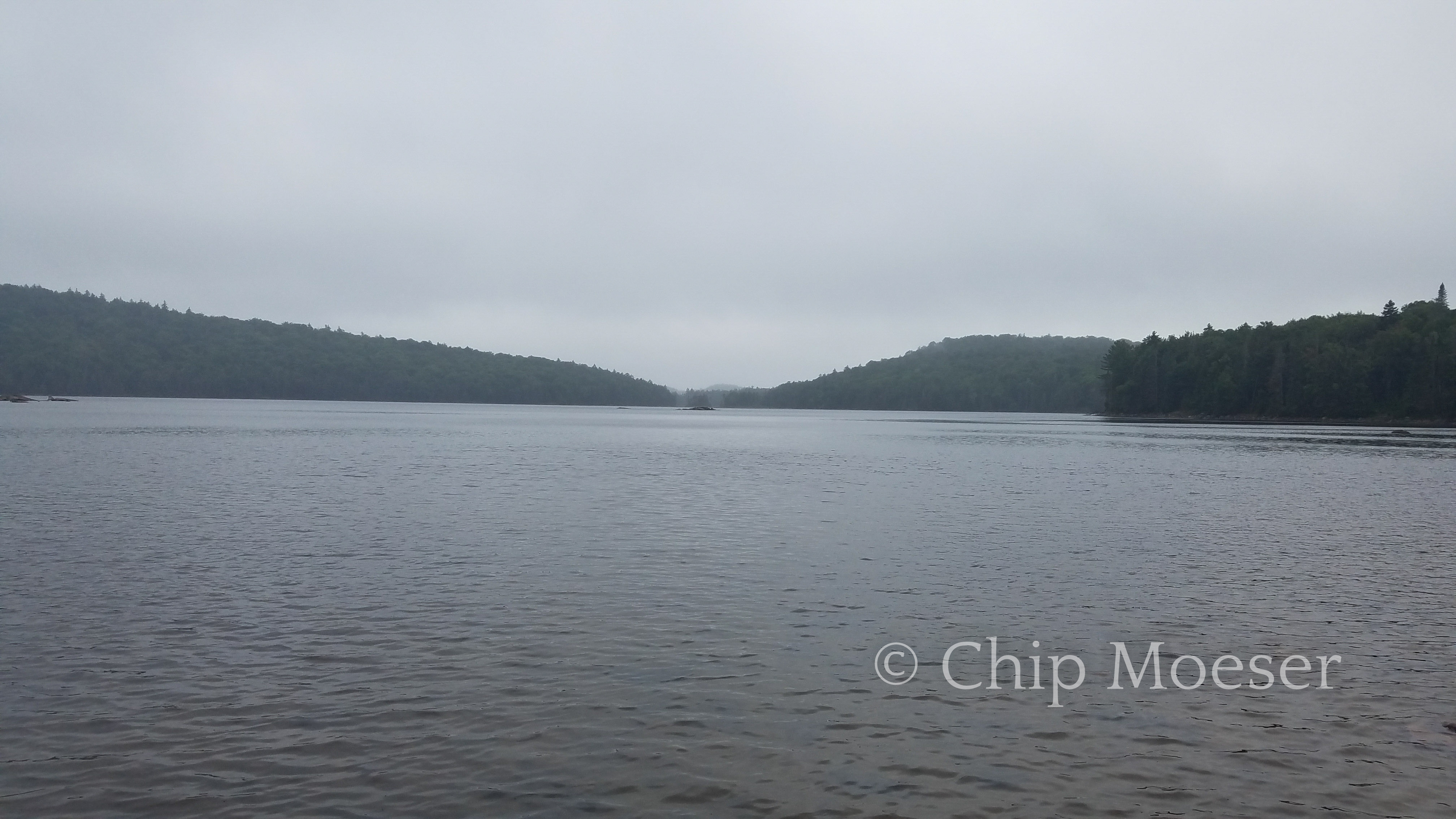
Just after turning the corner at Duck Hole I was on the Northville Placid Trail. A popular trail in the area which draws a good number of backpackers from all over. Not a mountainous hike it’s known for its spectacularly scenic lakes and rivers. The TransADK will overlap the Northville Placid Trail for the next 80 miles or so.
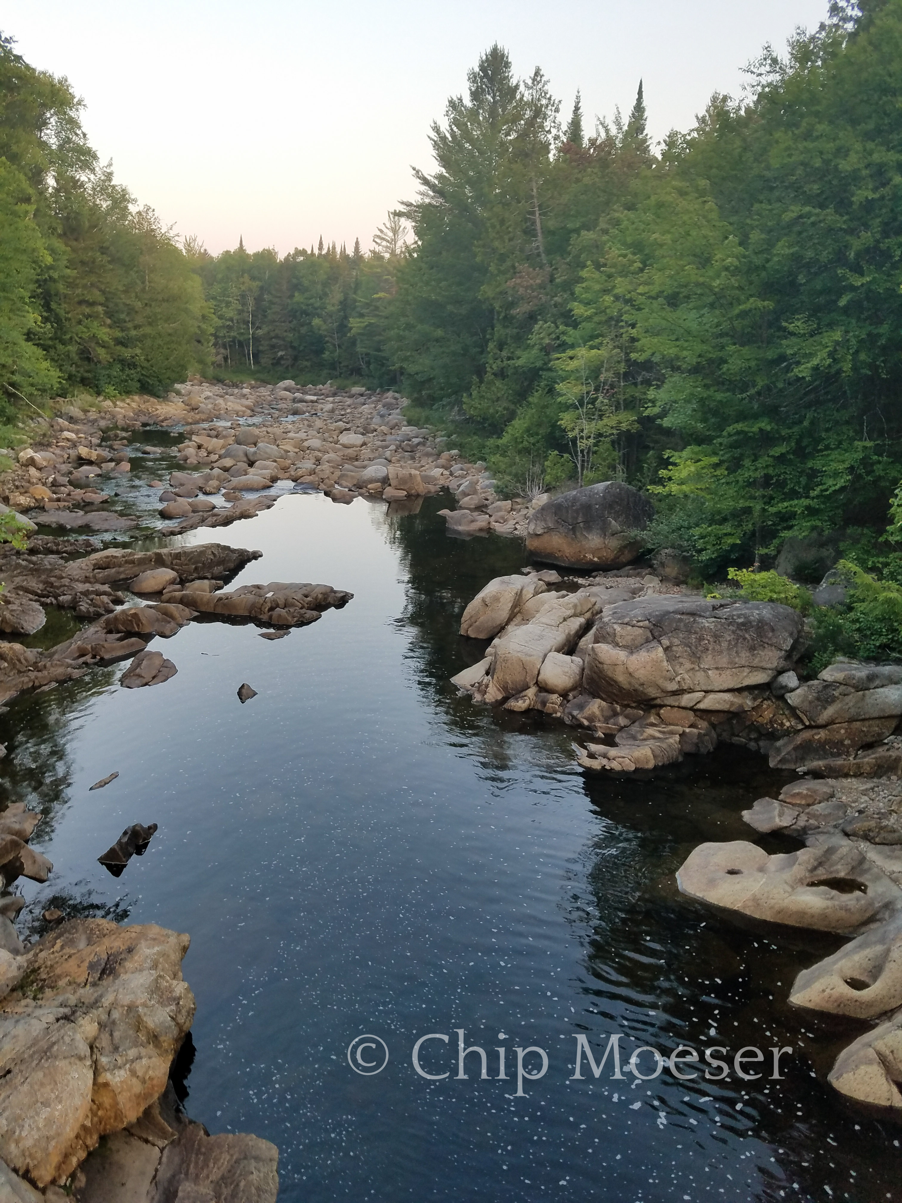
I spent much of the day hiking along side the Cold River. I passed several lean-to’s along the way and all were amazing. With about 17 miles on the day I decided to stop and camp at the Cold River #3 lean-to. I don’t sleep in the lean-to’s since they tend to be dirty, mice ridden, I don’t sleep well next to others, and I have a hammock, which allows you to sleep with no pressure points on your body. I will though, gladly camp near them when available as they tend to have pit toilets, good clearings and sometimes great swim holes.
Immediately after arriving I dropped my pack and made a bee line for the water. It had been unusually hot and humid for the mountains and I could not wait to take a dip. Shortly after a gentleman and his dog arrived. His name was Mark and his dog was Cairo. We talked about hiking, gear and life in general till we turned in for the evening. He was good people and it was nice to have someone to chat wit for a short bit. I was in my hammock by dusk since I wanted to get up early and head to Long Lake for resupply and r&r.
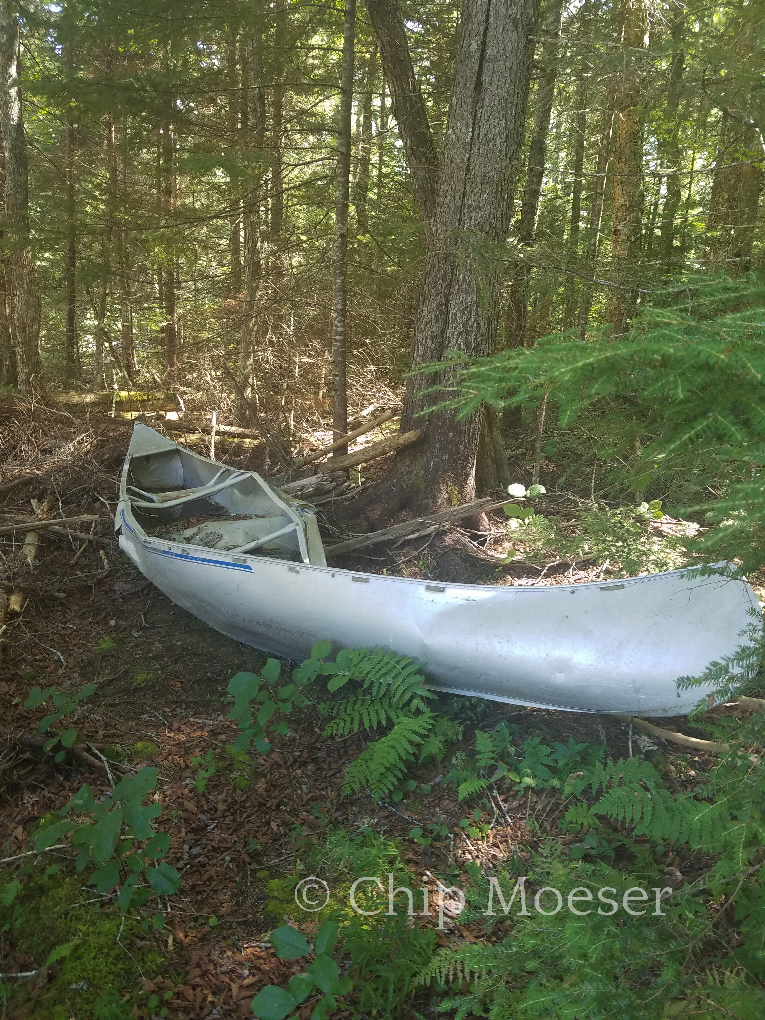
Cold River. Swam here, camped here, it was amazing!Someone’s canoe trip didn’t end as planned
I passed through Duck Hole today. Stopped and had a nice lunch at the newer of the 2 lean to’s. Duck Hole used to be a iconic pond in the Adirondacks until hurricane Irene blew out the damm. The decision was made not to replace the damm. The effects of Hurricane Irene are prominent fixtures throughout the Adirondack landscape and very powerful to see in person.
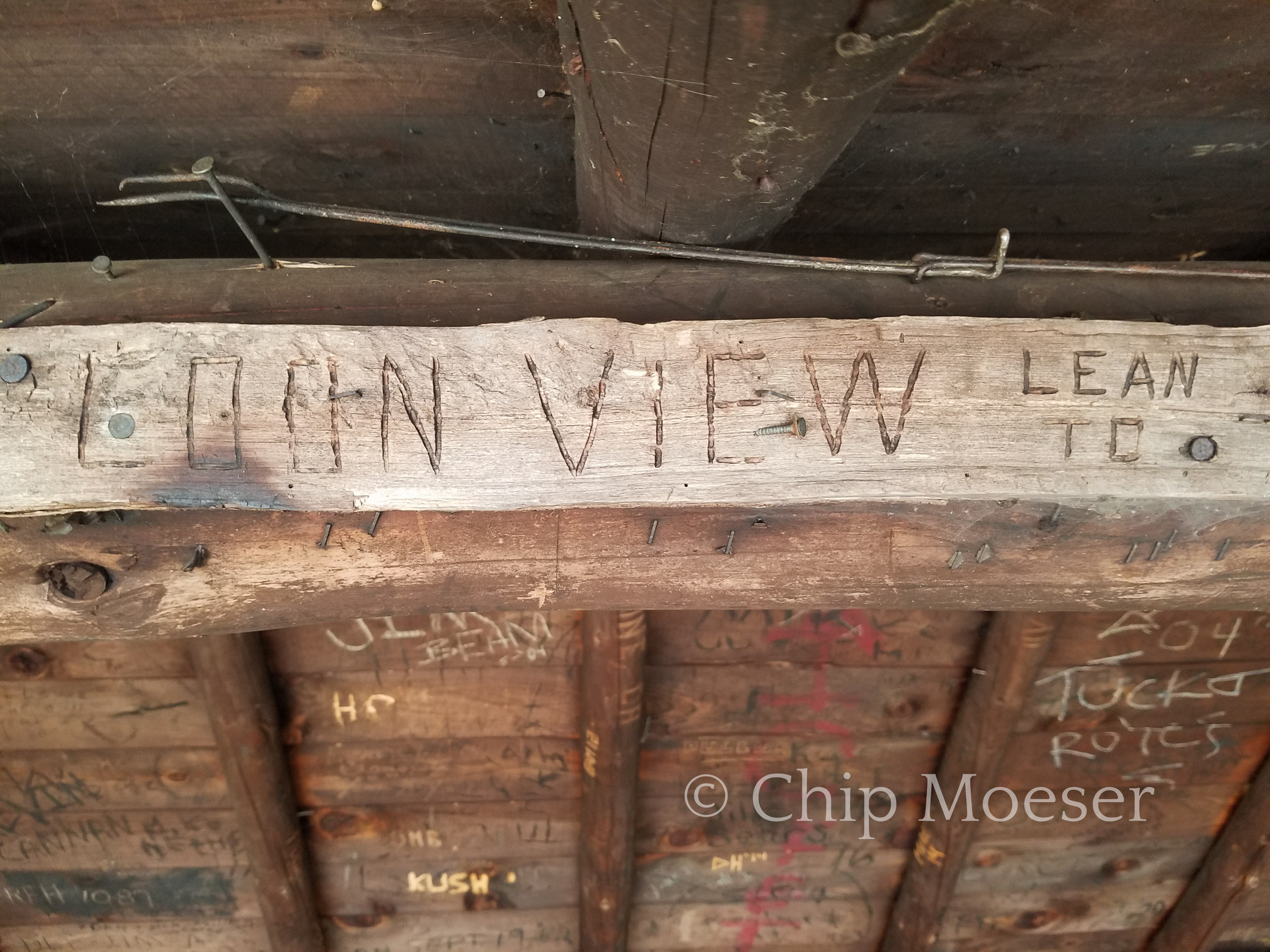
After making my way around the snow mobile trails around Taylor Pond, stopping to enjoy the view at Taylor Pond Damm and a second but much shorter bushwack on the south shore I eventually made it to the “Loon View” or Taylor Pond leam to. This was close to where I would begin my bushwack summit of Catamount Mountain. I stopped for some water and a quick bite but as it was nearly 3pm and I wanted to catch sunset from the top of Catamount I needed to press on.
The guidebook had suggested starting the bushwack from either the lean-to or a stream just a little past it, leaving the option up to me. I chose to begin about half way between the two. As I began my ascent again I tried to avoid the densest brush. For the first hour and a half things were going ok. It wasn’t too thick but it certainly was a bunch of work going uphill. I was drenched in sweat from head to toe but glad I had on my long pants and gaiters.
About two thirds of the way to the summit things really started getting thick. My progress became very labored and slowed to nearly a crawl. I grew impatient and frustrated as I wondered who would enjoy such travel and why? The brush kept getting thicker and thicker and soon at times I was literally crawling on my hands and knees to get a few feet ahead where I might be able to stop and catch a breath.
Things were turning from bad to worse fast as I wondered if I would make it to the summit in time for sunset and if it got dark, then what? I knew panic would only make the situation worse so I stayed calm keeping up my hard work determined to press forward. It seemed like the harder it worked the more difficult things became. I could only liken it to one of those horror movie scenes where someone is covered in tar or slime and trying to move through it or perhaps swimming through molasses.
For a brief moment I stopped to ponder what it would look like if I needed help getting out of this situation. What would I say? I’m lost “somewhere” in the brush on the north side of the mountain. How would anyone even get to me? It didn’t seem possible, certainly not a good scenario.
Of course at the time things seemed their worse I started coming out on what I believed was the ridgeline leading to the summit. It was still a lot of work but things were starting to open slightly.
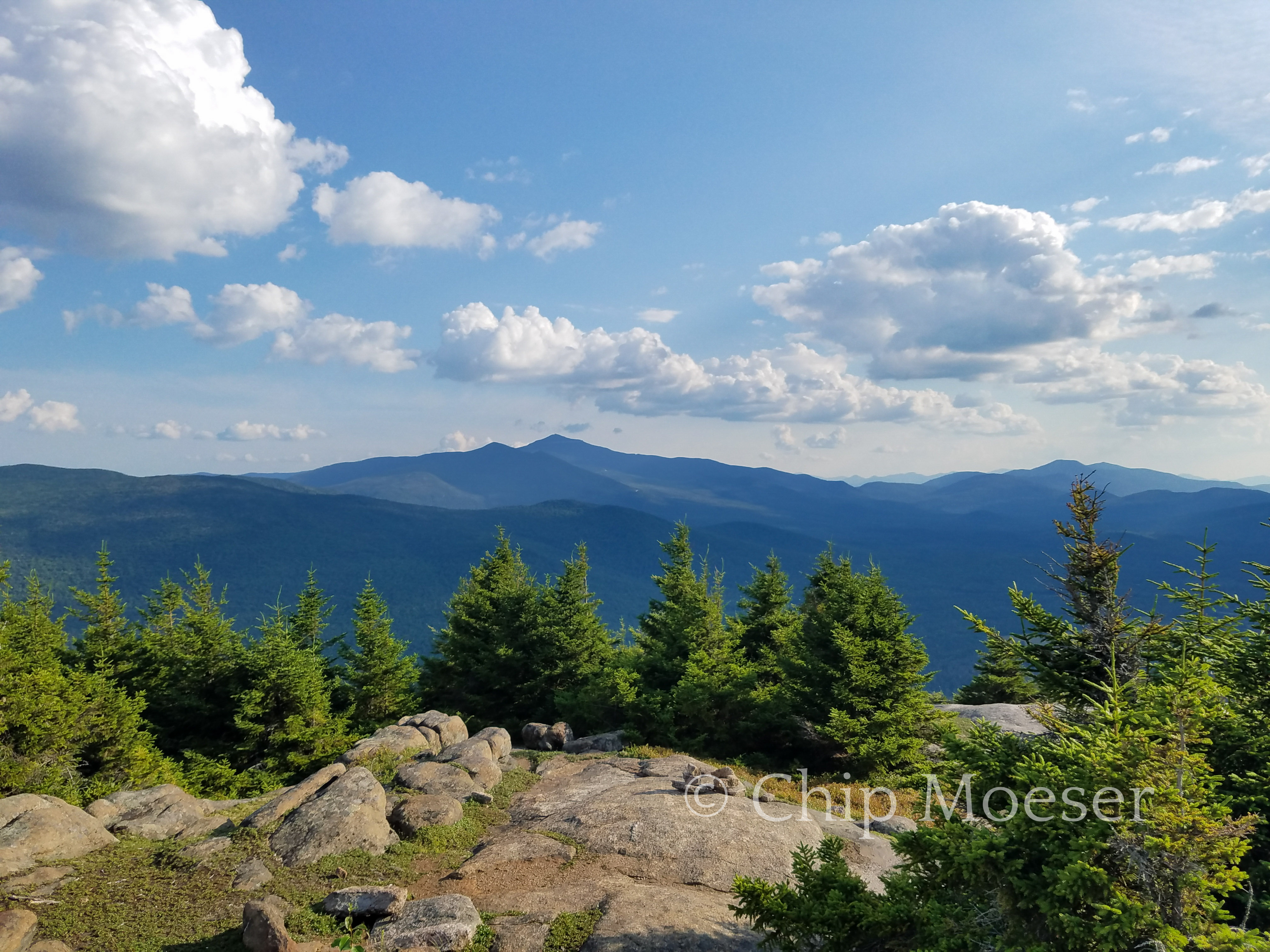
With about a 30 minute push across the ridge I finally made it to the summit. Despite the unpleasantness of the bushwack, the views from the top were absolutely breathtaking! I could see Whiteface Mountain to the south, many other peaks and the views seemed endless.
It was 6:30 and sunset was a little over a hour away. I looked around and though some mountains can offer space within a few hundred feet of the summit that is camp the brush around was simply to dense and I knew my plan to catch sunset and sunrise wasn’t going to work out.
While some people will hike in the dark with a headlamp, not having established camp yet and having a full pack, I decided I needed to descend and find a place to camp. I hiked down about 2hrs and set up camp for the night about two thirds of the way down and 200 feet off trail.
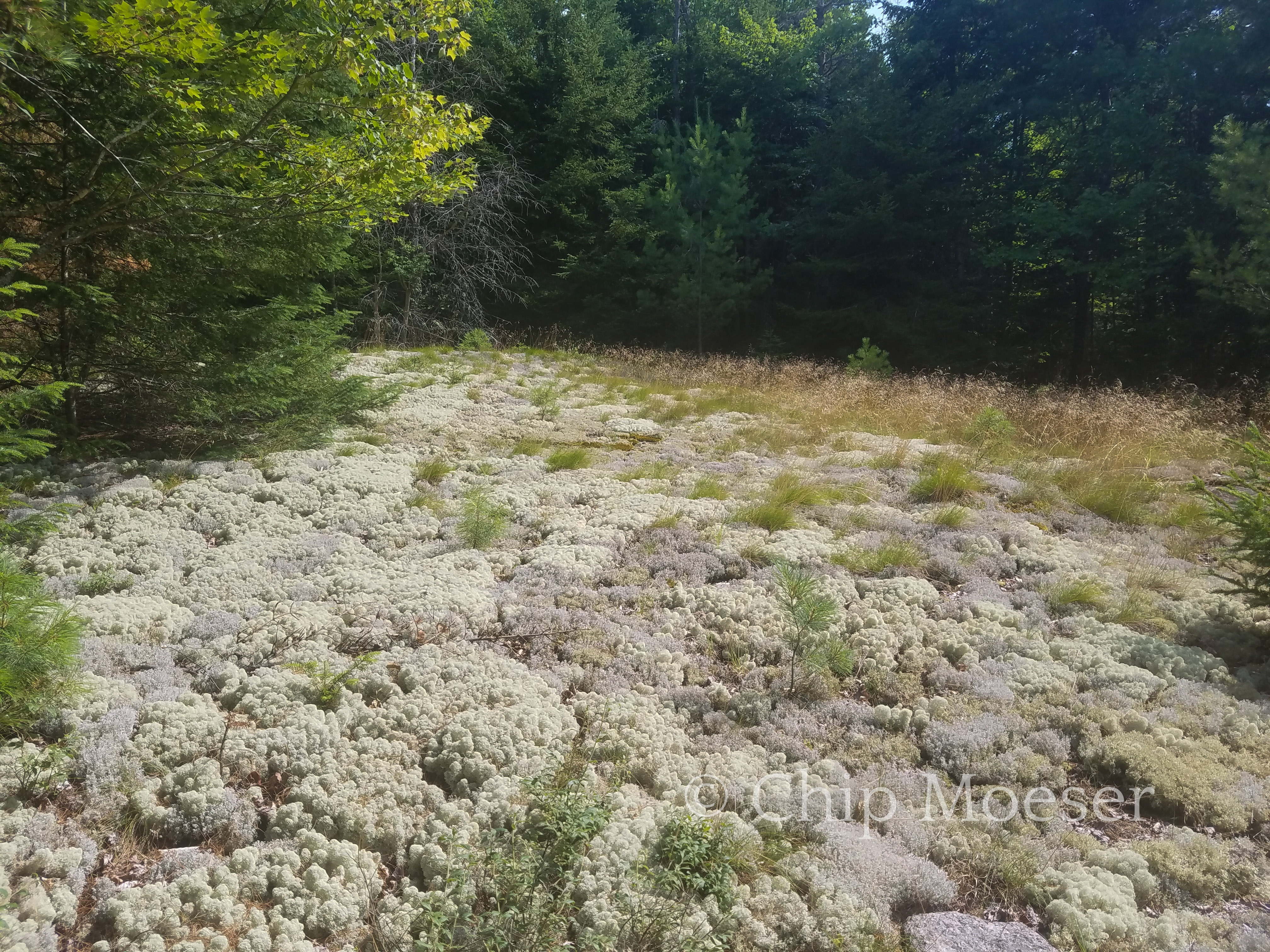
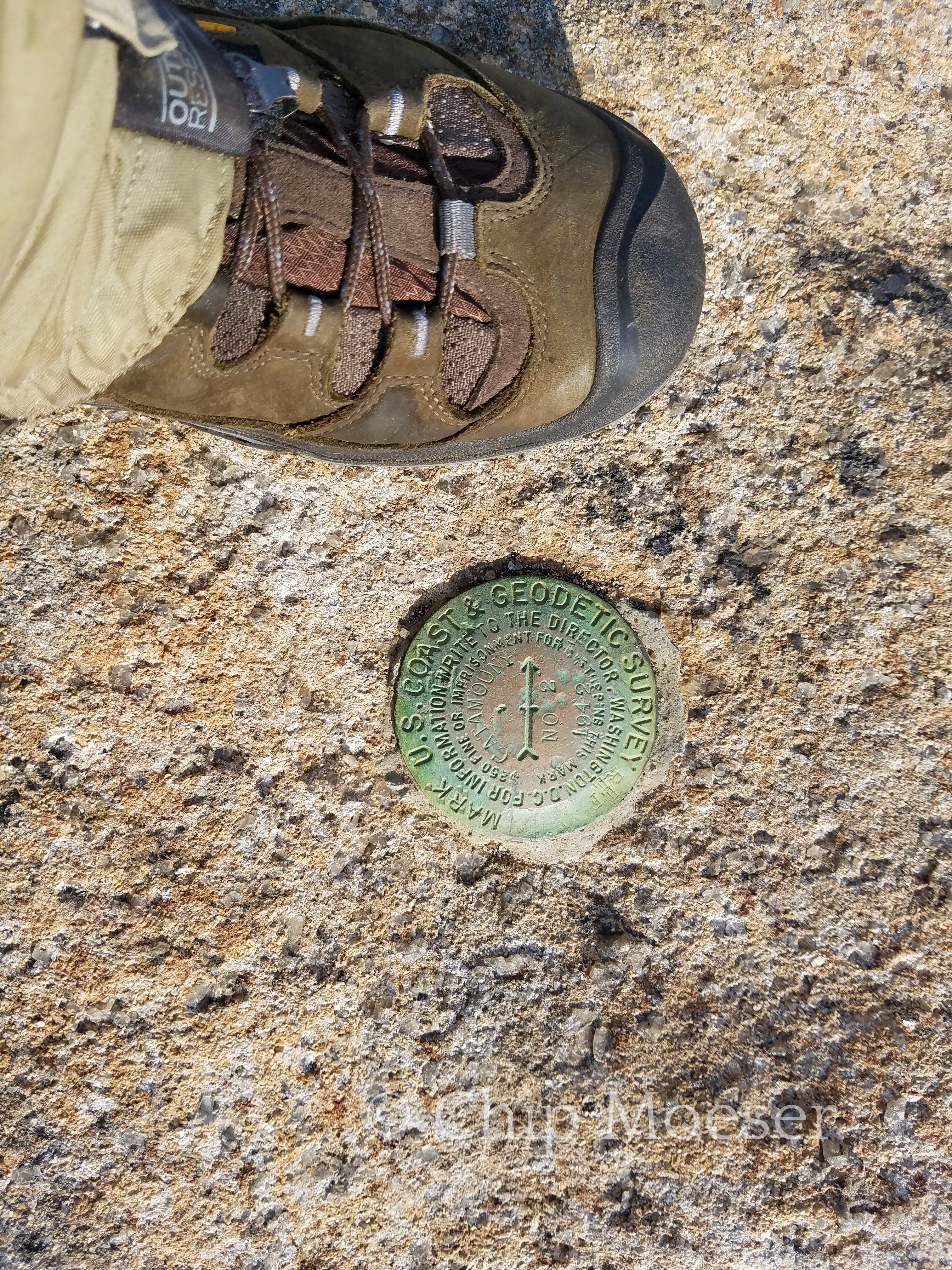
Looking north west from the south shore of Taylor Pond‘Loon View’ lean toSome very interesting mosses on the way up CatamountUS Geological Survey marker, summit of Catamount MountainWhiteface Mountain in the distance from the summit of Catamount MountainOther views from Catamount Mountain