The rain was originally supposed to start early this morning, but it held off and I was managing some decent miles. Around noon and after probably 12 or so miles I was able to get a cell signal and saw the large storm system about 1-2 hours west and heading for me.
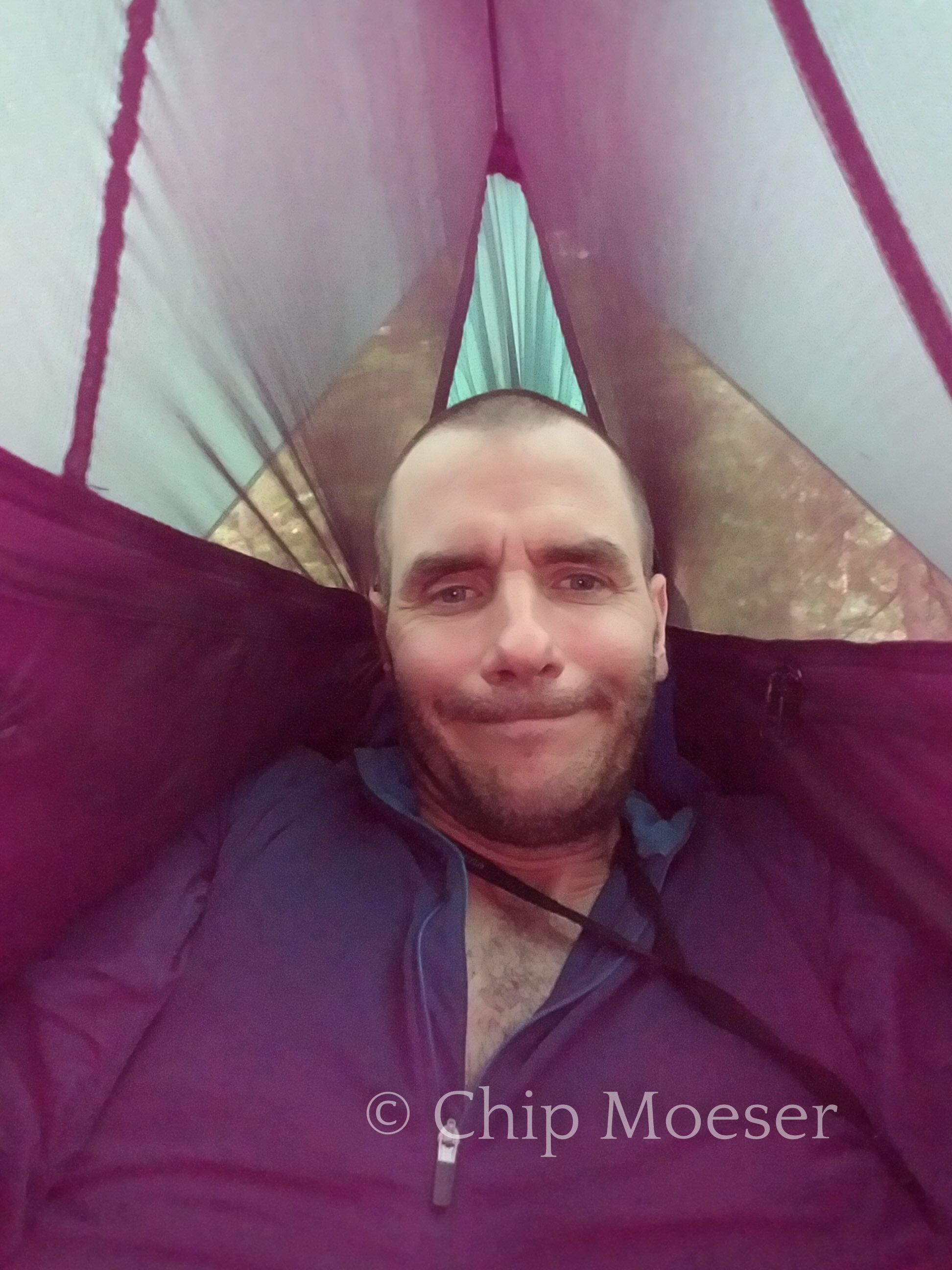
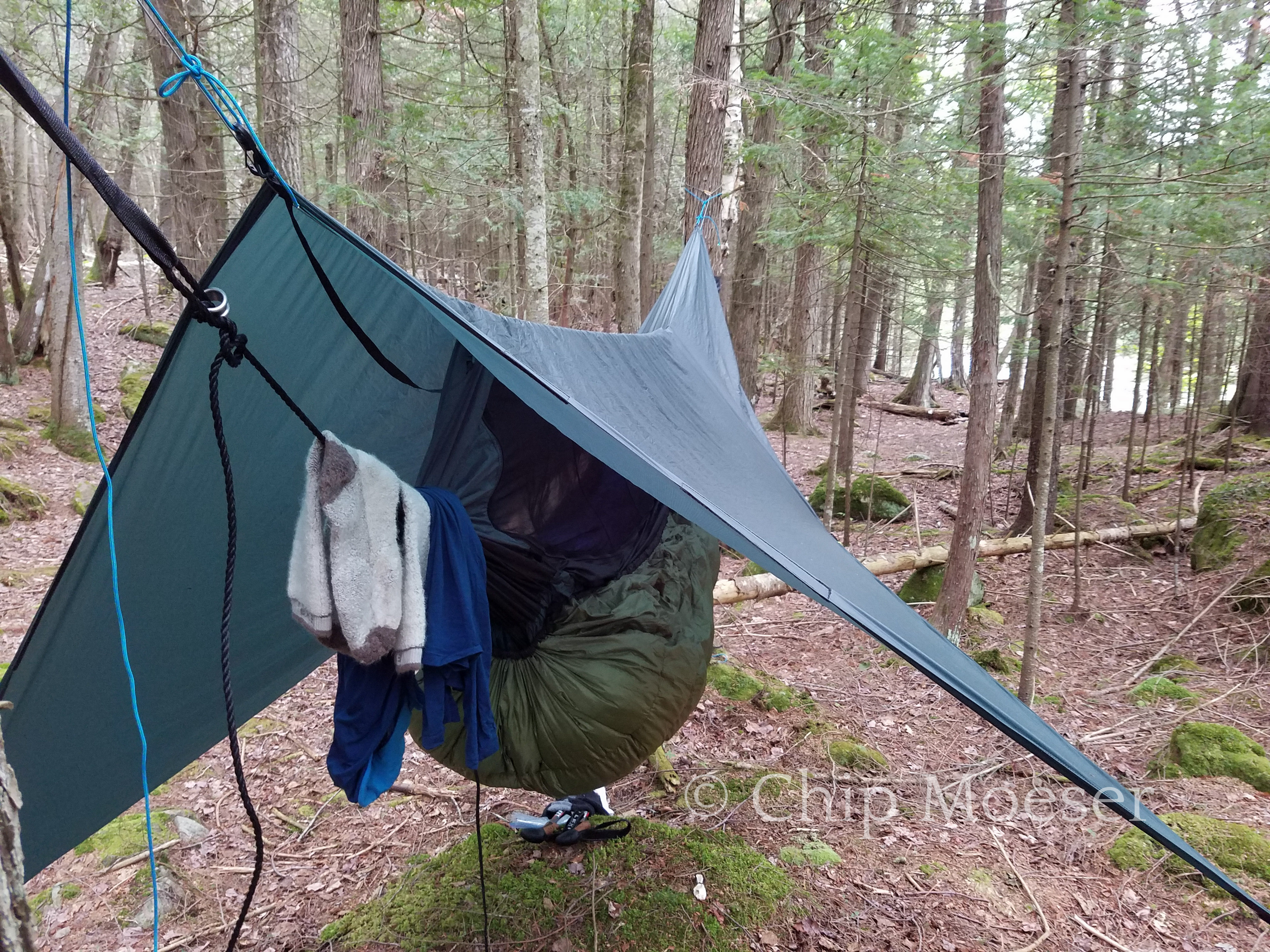
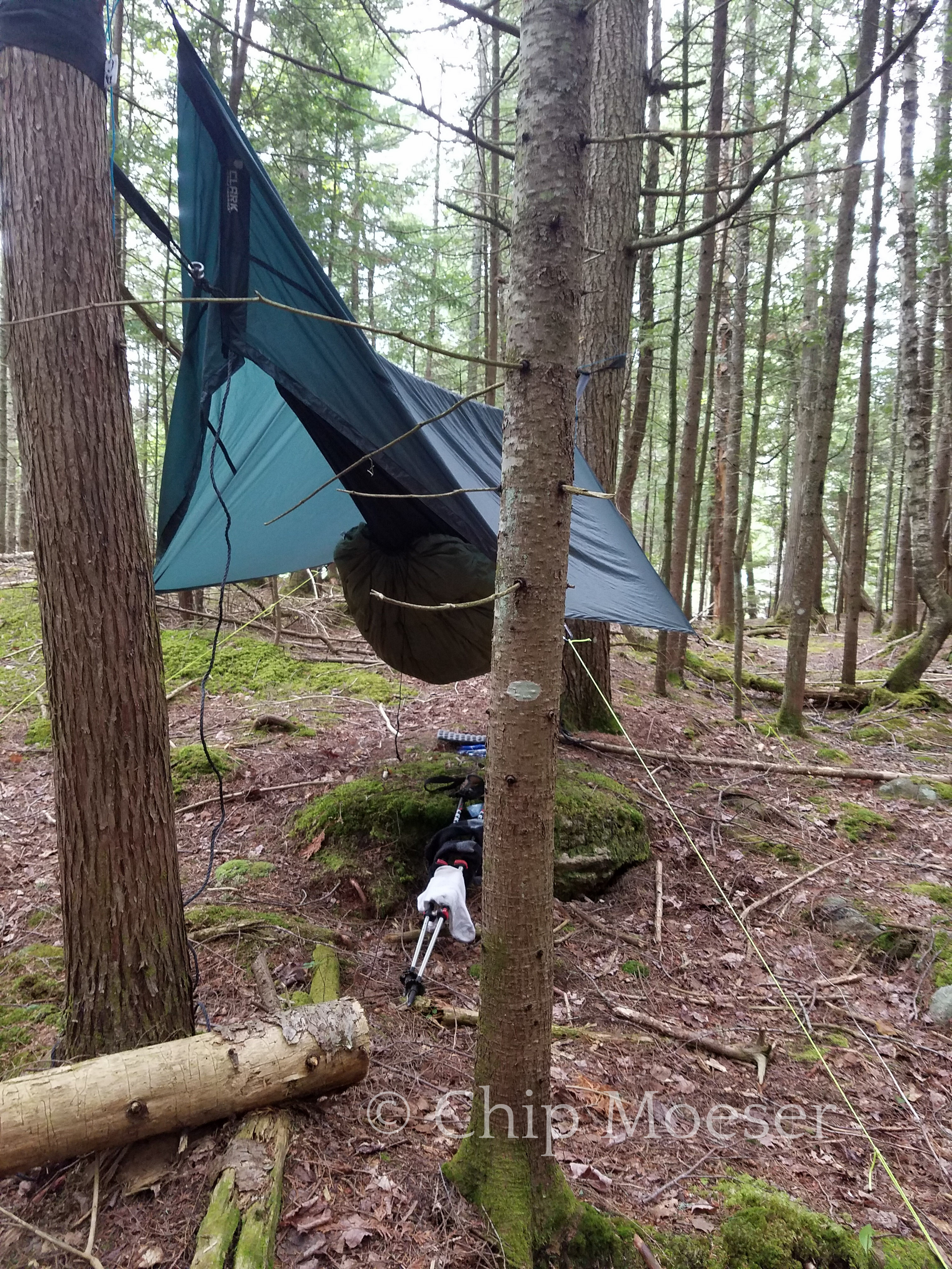
Although I could have easily finished the final 5 miles or so of the route this afternoon I decided to stop at 1pm and set up camp. I’m not so wild about road walking 15 miles or trying to hitch to town in the rain after finishing. So I waited out the rain in my hammock. Right after I set up it began raining and continued for nearly 12 hours straight. I have to hand it to my hammock, kept me bone dry the entire time!
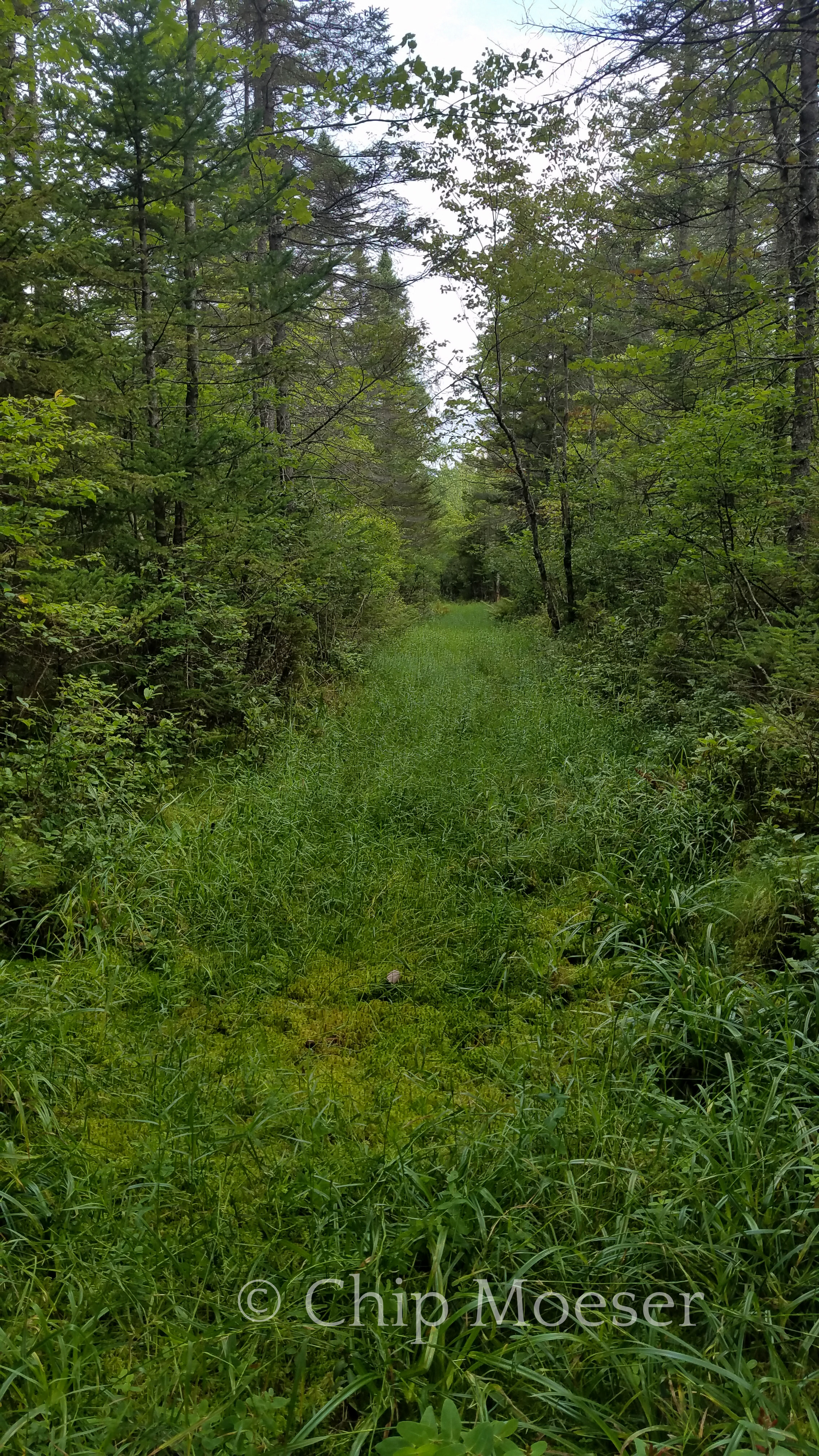
Corridor 8. So glad I passed through this before the rain!Waiting out the rain high and dry in my hammockWaiting out the rain high and dry in my hammock
After making nearly 20 miles today from in town at Long Lake I arrived at the State campground in Lake Durant. It is supposed to rain very heavily tomorrow and my plan was to reserve 2 nights, take a zero miles day tomorrow and head into the nearby town of Blue Mountain Lake to visit the Adirondack Museum. When I arrived at the booth I was told there were no hammocks allowed at the campground. In some respects I can see why they might have such a policy but I use tree straps for my hammock so the ropes don’t damage the tree. Seems like a bad blanket policy.
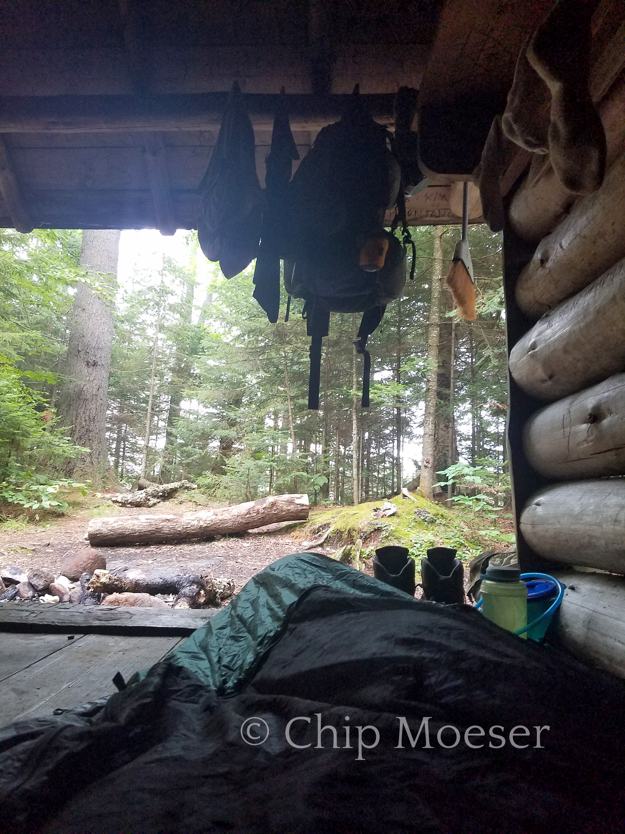
I am very disappointed as I was looking forward to seeing the Adirondack Museum. Short of staying at Lake Durant and hitching into town I’d be going pretty out of my way. So I pushed on another 5 miles or so and made it to Stephen’s Pond lean-to.
The rain is supposed to start pretty early and I’m shot from nearly 25 miles today so I’m spending my very first night ever sleeping in a lean-to after 70 or so nights in the woods. Lean-to’s are generally dirty, attract rodents, and no where near as comfortable as a hammock but I’m super exhausted and well, don’t knock it till you try it…Mosquitoes are horrendous here so I’m using my hammock and its bug net like a bivy. I can hear a army of them buzzing around me right now.
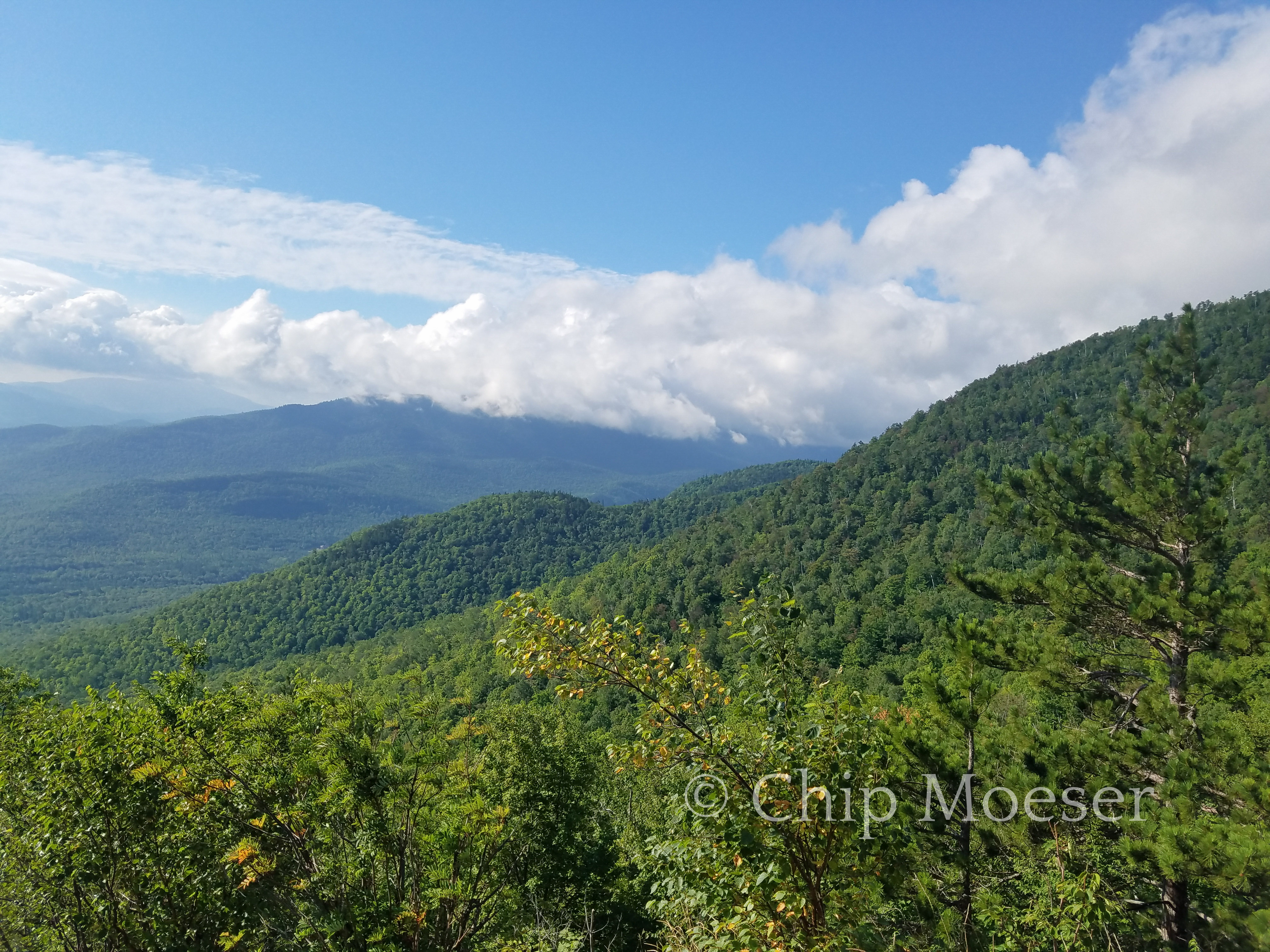
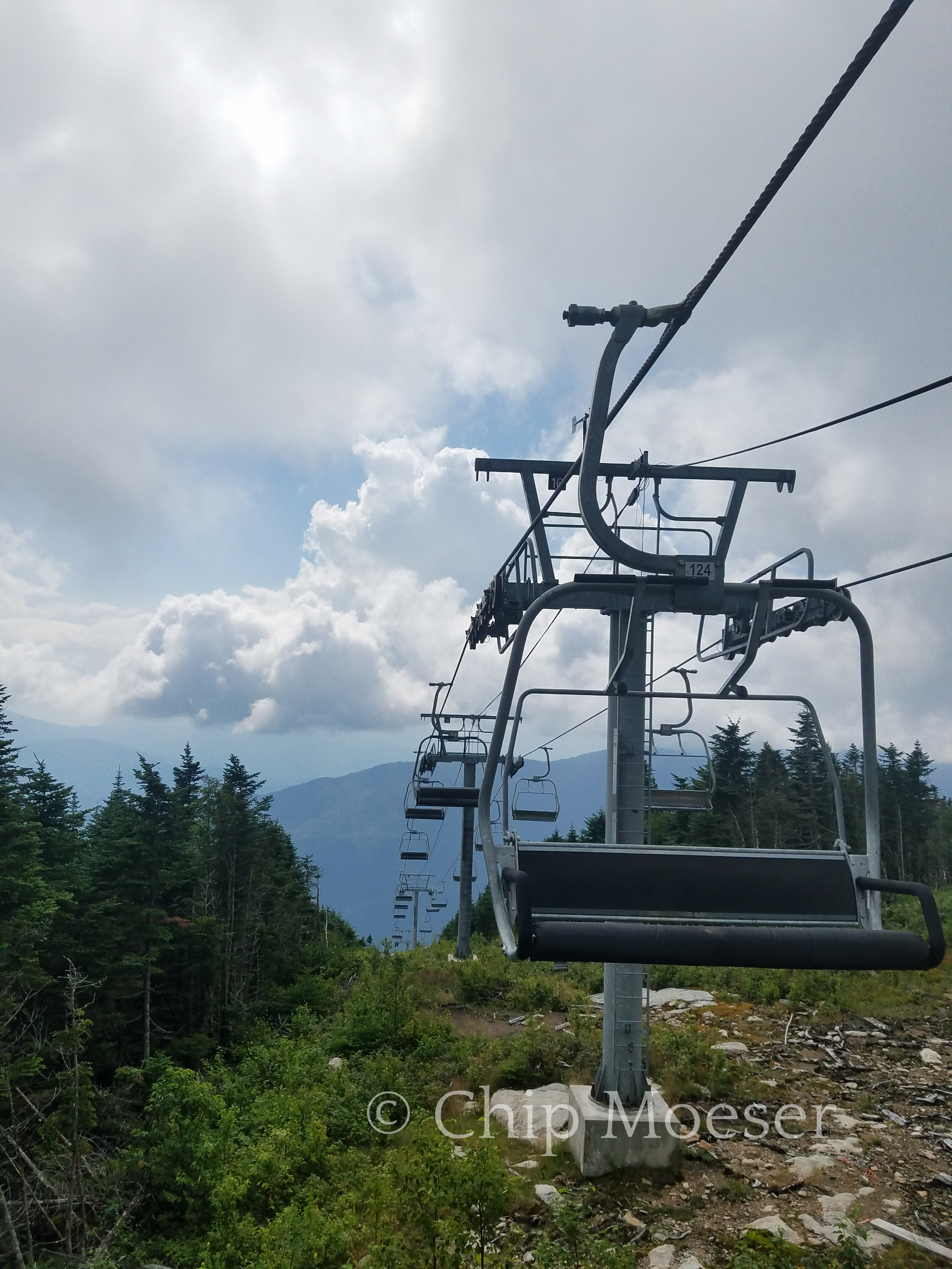
Today was the second mountain of the route and the only high peak, Whiteface Mountain. I had been to the summit by car the week before but would hike up this trip with a full pack on my back. I had bushwacked Catamount Mountain just a few days prior with a full pack so despite Whiteface being significantly taller I was fairly confident with a good amount of effort and hard work is would do just fine, and no bushwacking this climb!
The approach is would take would be from the north east via smaller nearby Marble Mountain. I set out around 8am. I was looking forward to seeing the remnants of the 1950’s ski area described in the guidebook which dotted the landscape of Marble Mountain. It’s fascinating to see nature taking back land it once claimed as its own.
The trail was fairly smooth but was a pretty tough steep uphill with a fully loaded pack. Most backpackers don’t summit mountains with full packs, instead using a base camp for overnight gear and sumitting with a day pack instead. Thru-hikers or distance hikers tend to have to carry it all depending on their route. There are also day hikers who come out just for the day to summit a mountain or two. I had previously summitted many mountains with a full pack when hiking the Appalachian Trail so I was expecting a good amount of hard work.
As I pressed on slow and steady pairs of day hikers, 20 & 30 somethings whipped by me at breakneck speeds, some applauding me for doing it with a full pack. I eventually popped out on Marble Mountain with a pretty nice view but didn’t stay too long as I knew the prize at the top of Whiteface was the really stunning views but also a restaurant with some much better than backpacking food.
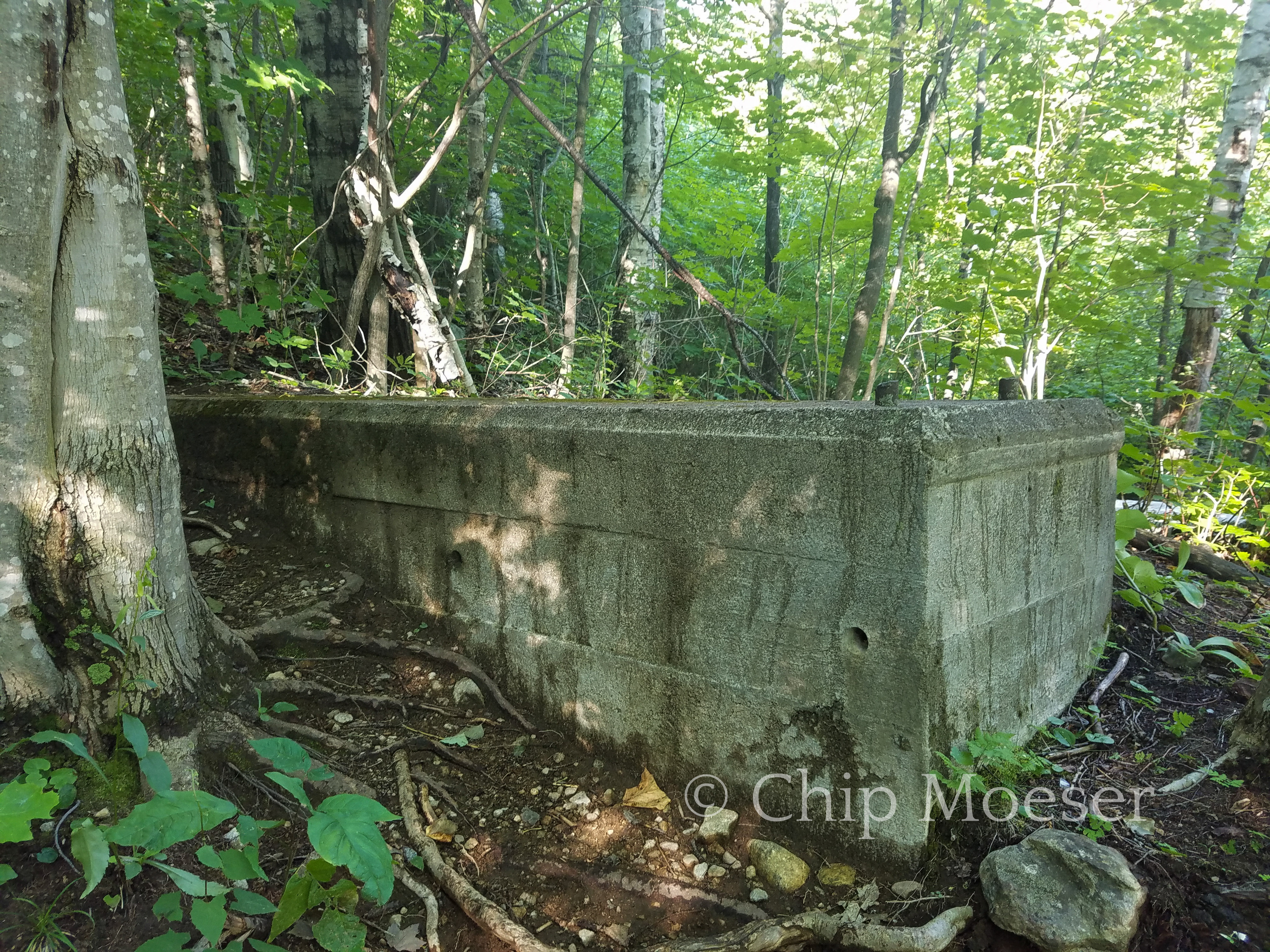
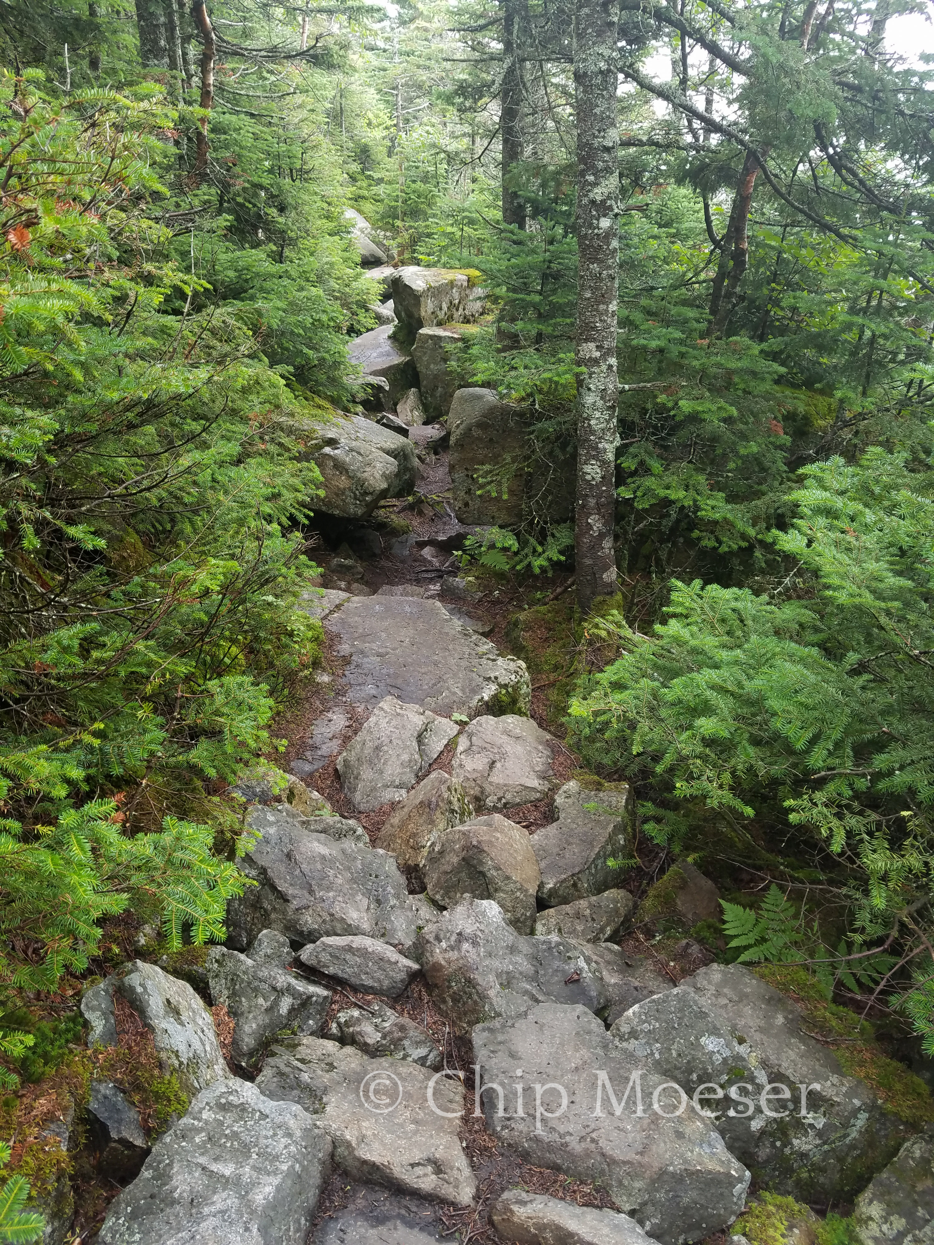
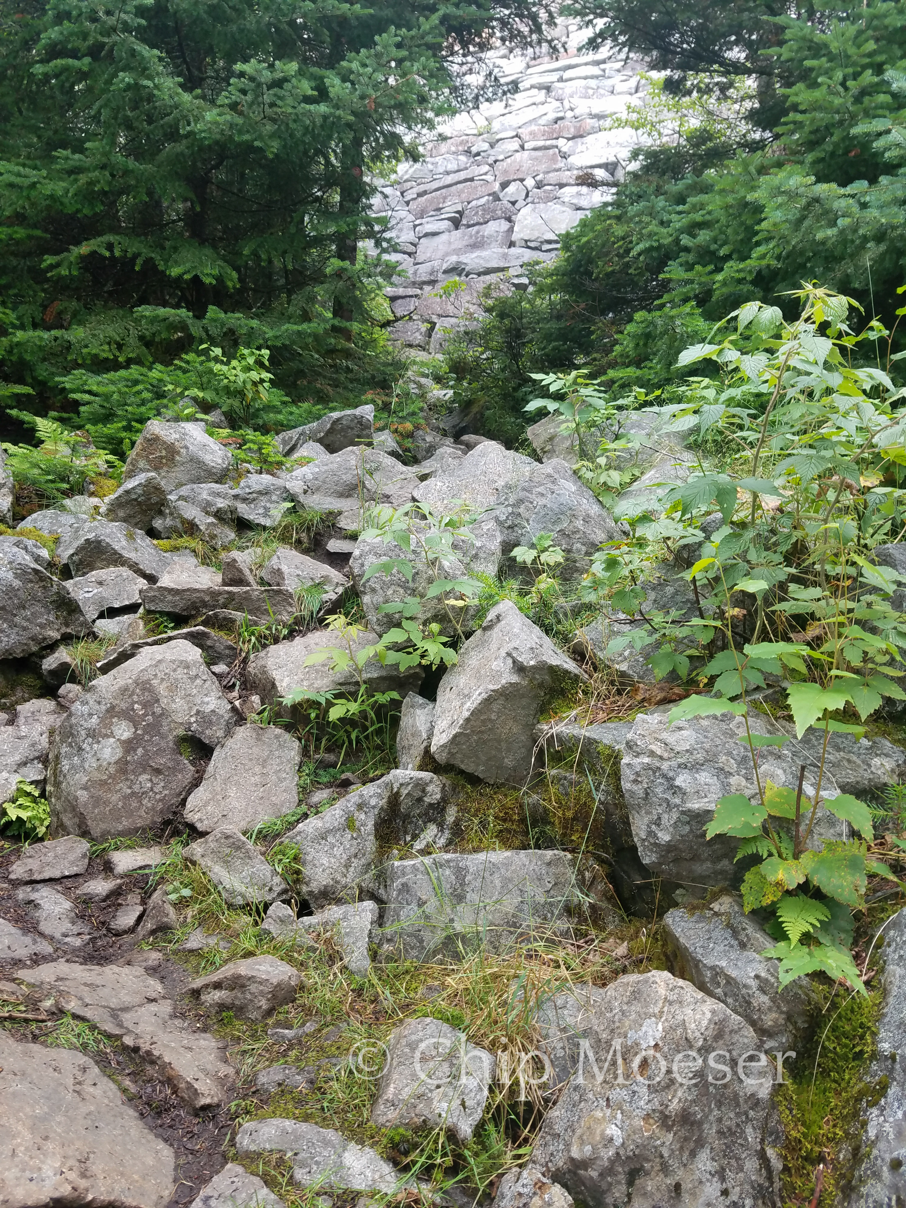
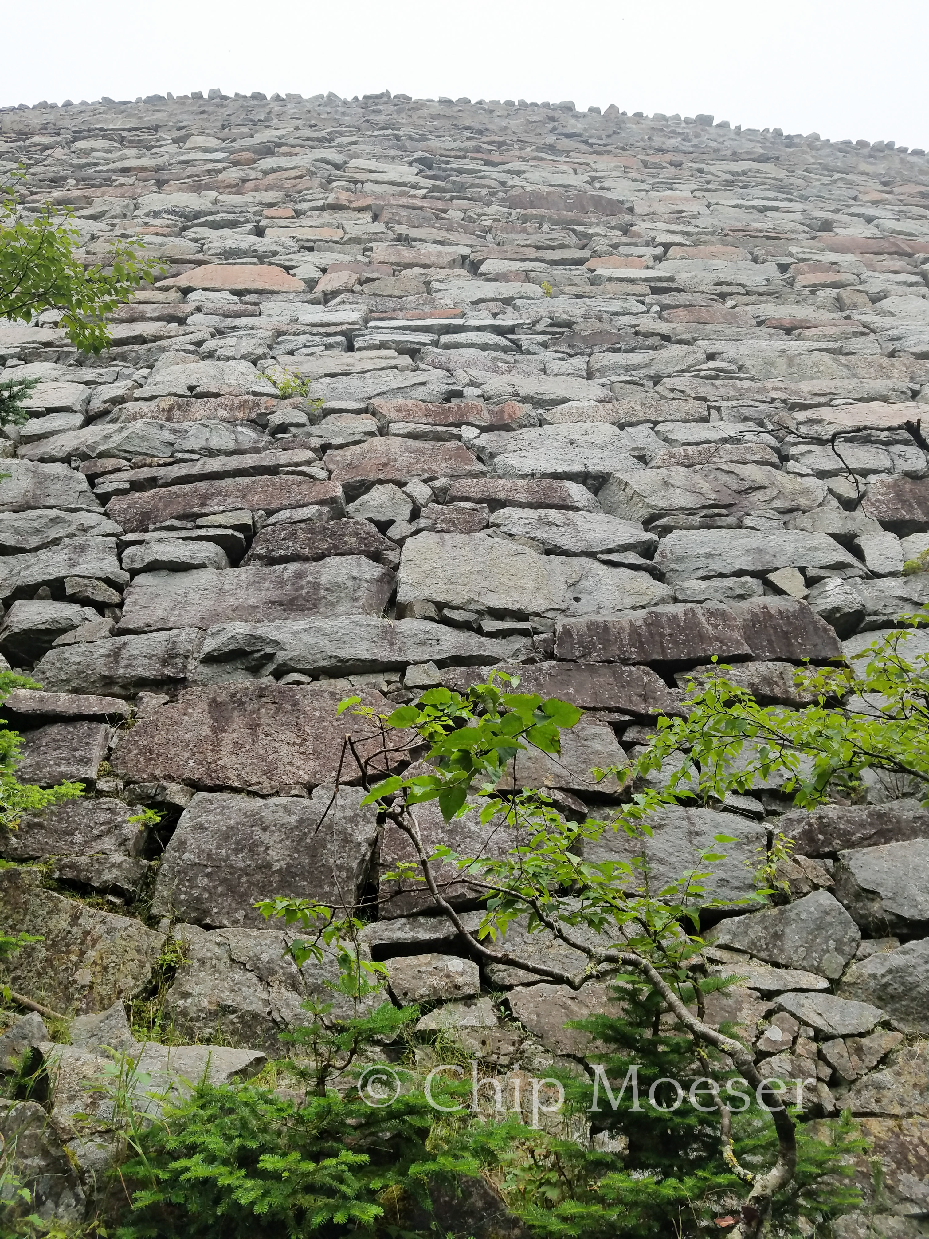
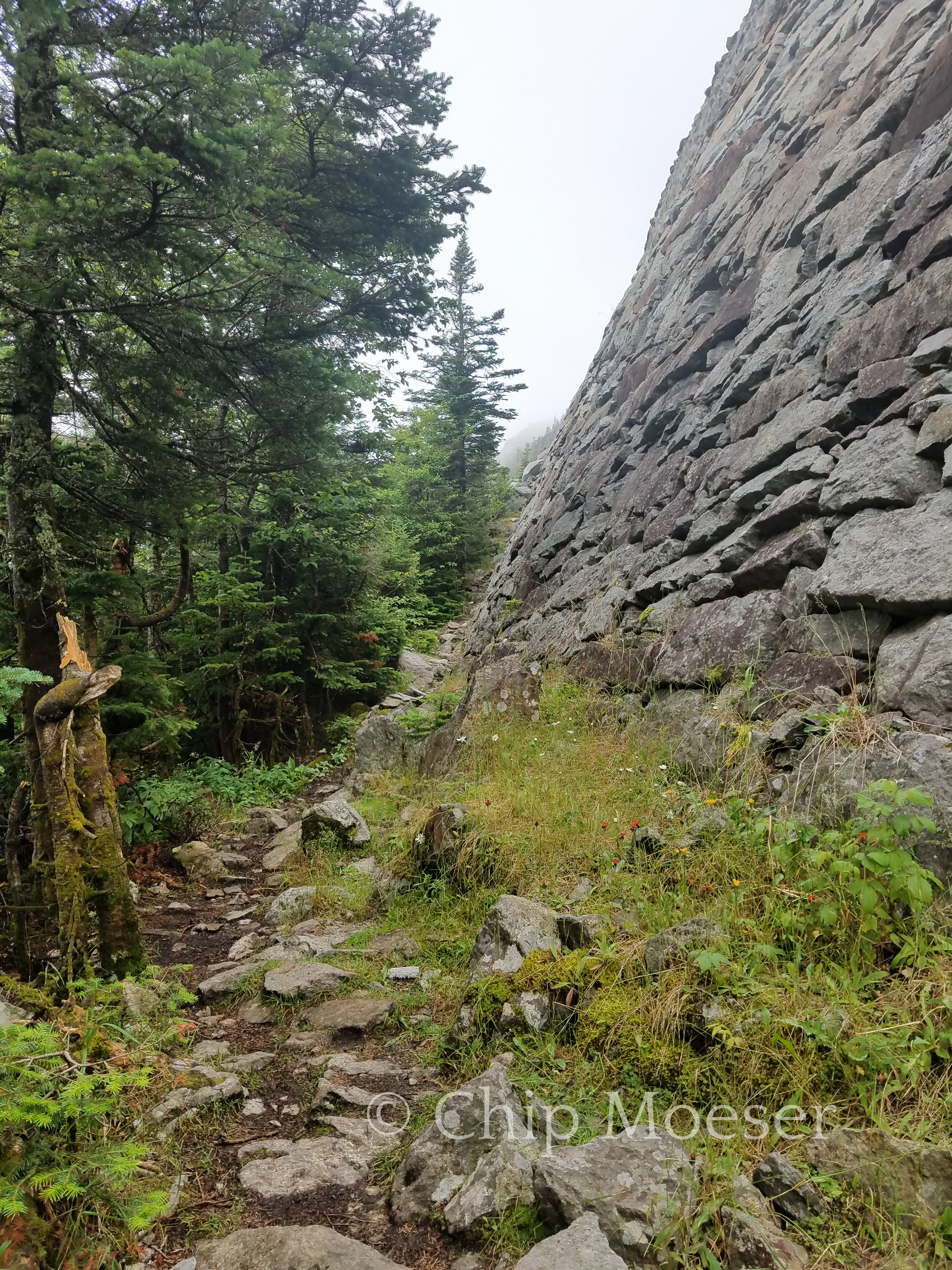
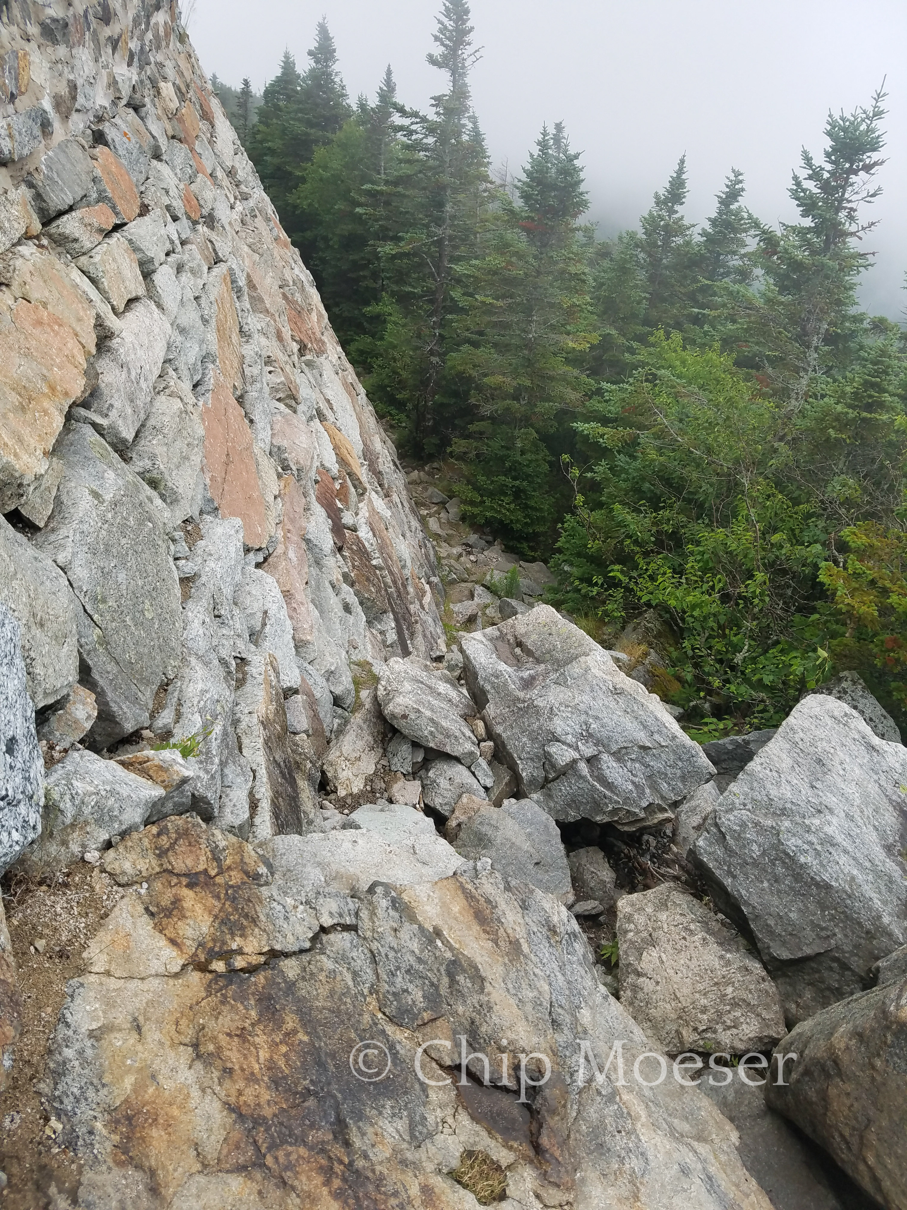
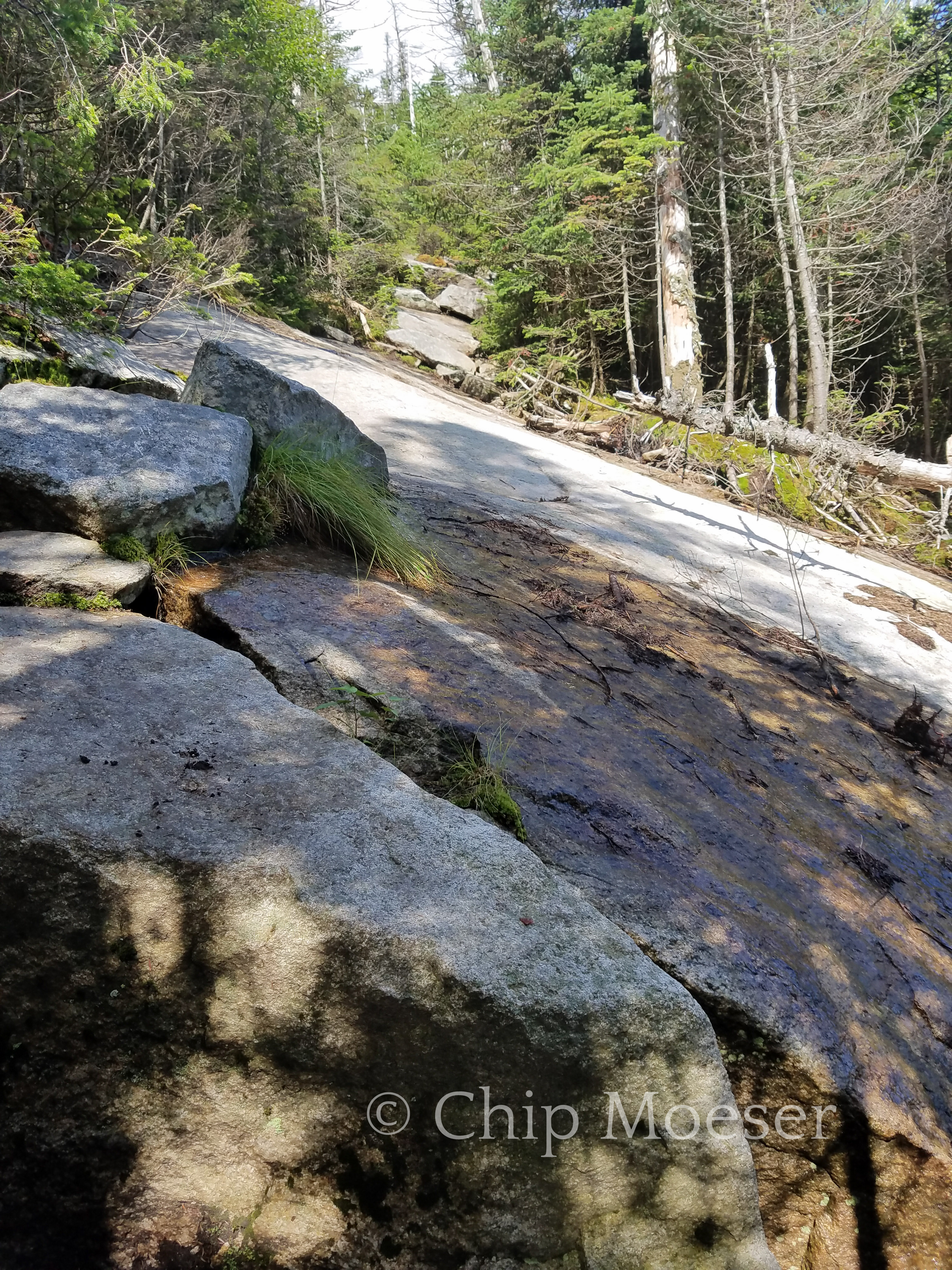
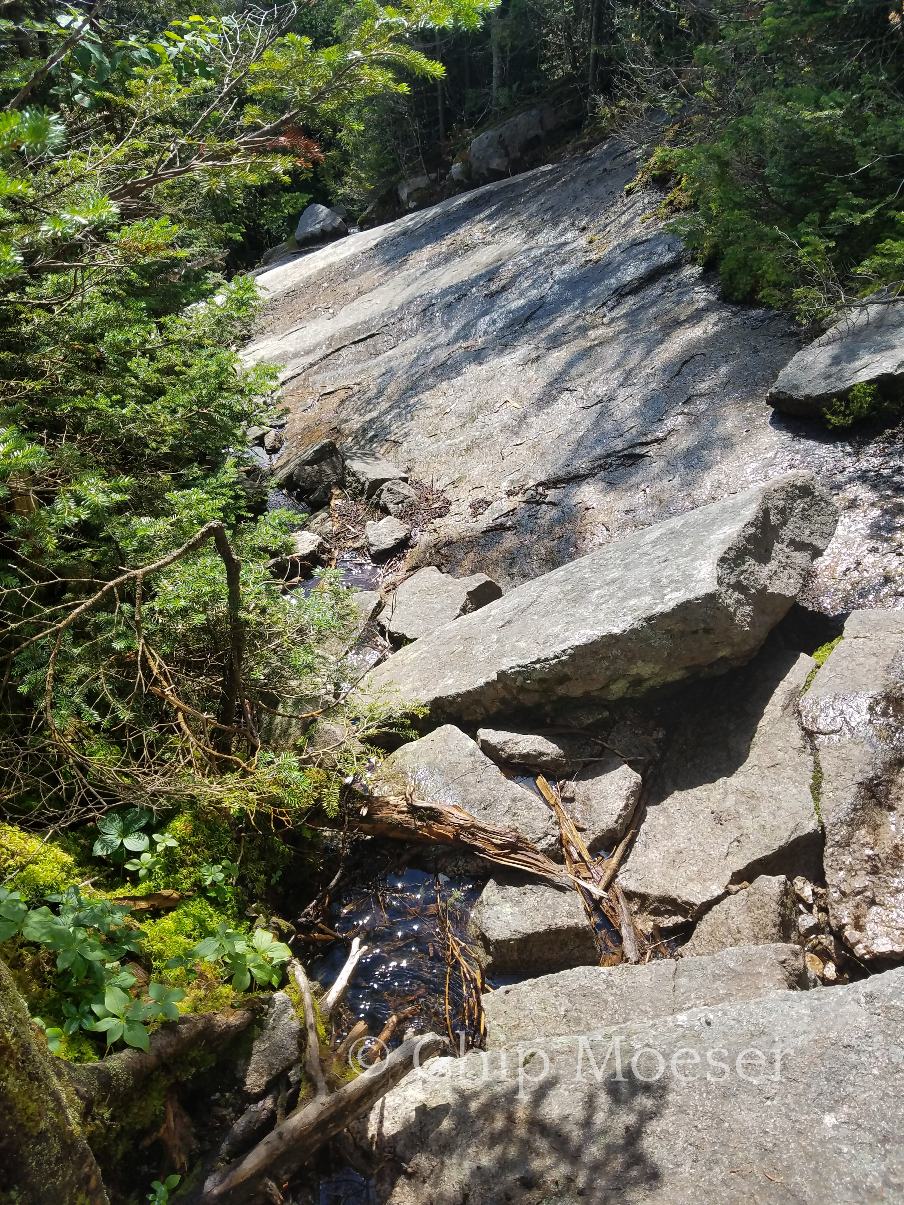
After about 3hrs of work I was about three quarters of the way up. I reached the large stone retaining wall that supported the roadway up to the top of Whiteface. This is where the real hard work began. The rocks increased in size building to larger and larger borders. Hiking turned to scrambling hand and knees over the large borders. It was intensive and required some caution due to the weight on my back, but at no time did I feel in very much danger.
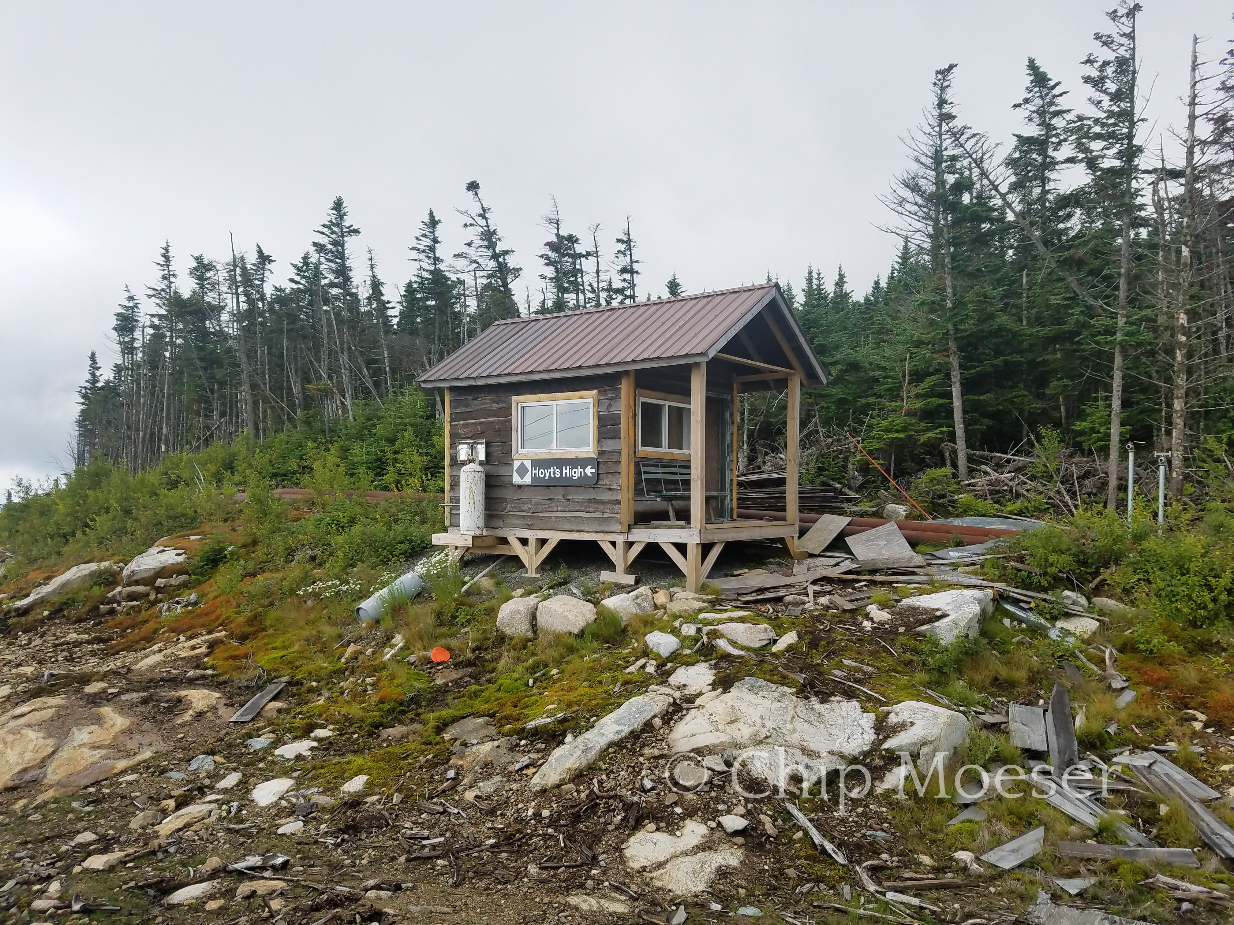
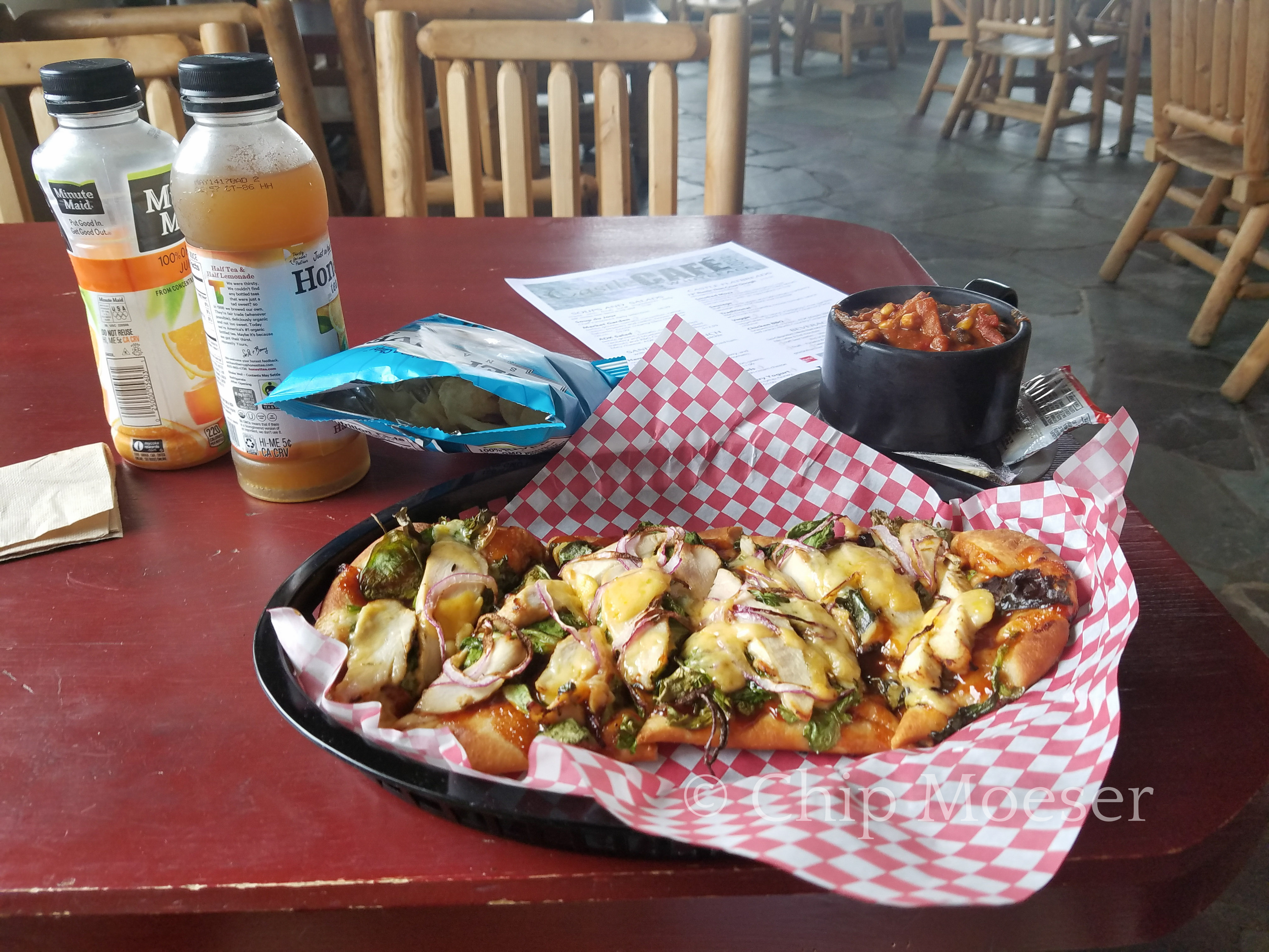
Around about the 4hr mark I had done it. The views weren’t all that great as small pockets of rain were passing through. I wasn’t to disappointed since while up by car the week before I had really great views. I was also looking forward to some good food in the cafe.
I headed to the cafe, ate and rehydrated like only a hiker can. I spent 3hrs there and watched dry inside as several small showers passed by outside. I knew I still had quite the task getting down so when it looked like the weather had broke I made a good for it and headed down the mountain.
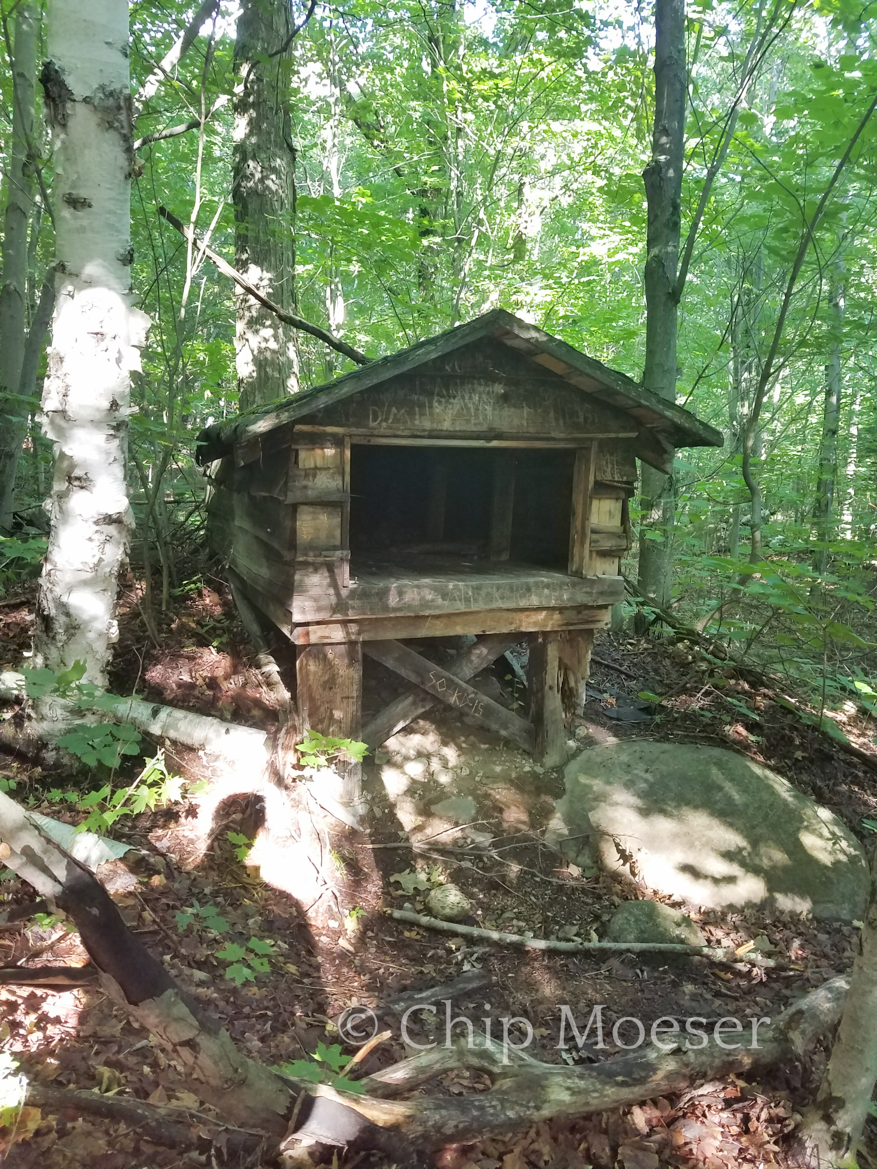
For those not experienced or do not know, going up the mountain may be a ton of hard work but more often than not its going down that is more difficult & dangerous, most especially with a full pack. As I started down things became difficult quite rapidly. Things were a little wet from the passing showers I had waited out in the cafe, but they weren’t too bad. There were several very, very steep inclines that certainly had me moving very cautiously. Navigating these can only be done by doing what I fondly refer to as the ever so not graceful “but slide ballet”. It took nearly 2rs to get through the trickiest areas but once done it was a nice cruise down to the Whiteface Brook shelter where I set up camp for the night.
The trail up Marble MountainRemnants of the 1950’s ski area once on Marble MountainRemnants of the 1950’s ski area once on Marble MountainLooking south east from Marble MountainWhiteface ski areaWhiteface ski areaClimbing Whiteface MountainClimbing Whiteface MountainClimbing Whiteface MountainClimbing Whiteface MountainClimbing Whiteface MountainAlpine plant near the summit of Whiteface MountainOn the summit of Whiteface MountainFirst course at Whiteface visitors cafe.Descending Whiteface Mountain looking back/up. The “but slide ballet”Descending Whiteface Mountain looking back/up. The “but slide ballet”Camp at Whiteface BrookNo signal in the bathroom here
I started hiking today around 7am.The Black flies were horrendous at times. Luckily I remembered my bug net. Can’t say I care much for hiking while wearing it though as the steam and condensation from your breath tends to kick back in your face. It also reduces clarify of vision some. The black flies were only bad in a couple of spoty areas though. Usually around low lying water.
I walked about 22 miles today. A bit more than I’d prefer, but the beginning of this route has long stretches in between legal places to camp and private property. So today it was either 10 or 22. I got a early enough start and the weather wasn’t bad and i went for it.
Just about all of today was road walking. It was gray and cloudy all day, threatening to rain but it held out. I’m exhausted and the blisters on my feet have me a bit concerned but 22 miles in humid, gray conditions beats 10 miles in direct sunlight and blazing heat any day.
My feet hurt so bad when I saw the DEC marker denoting legal land at my destination I practicality ran in.
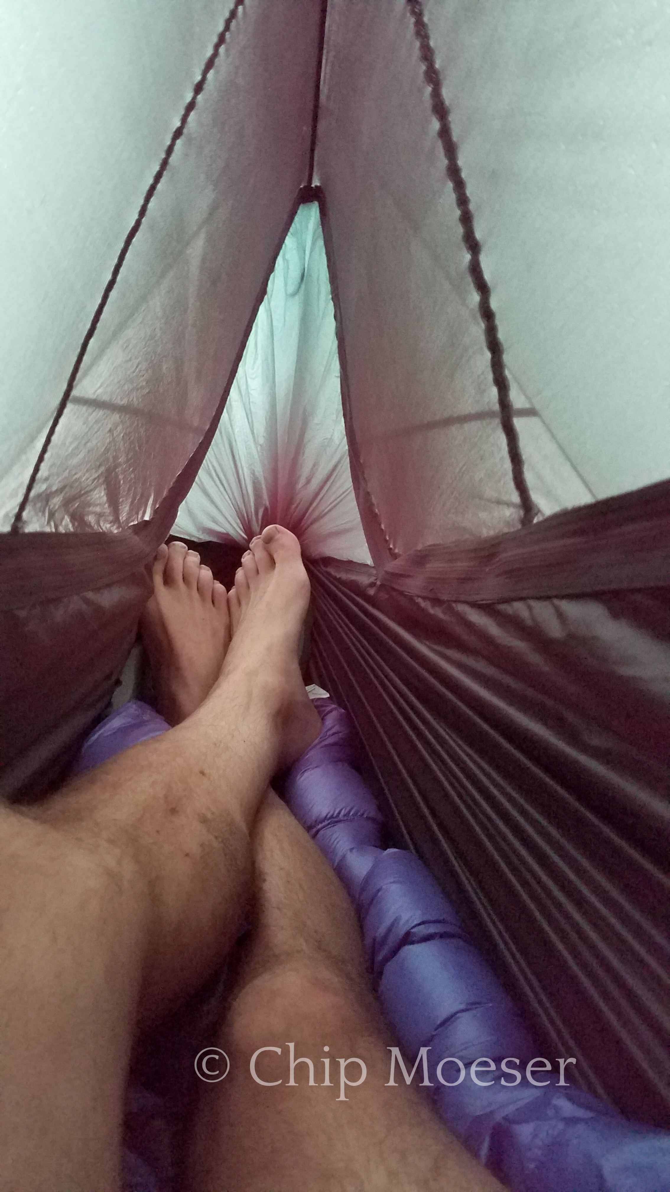
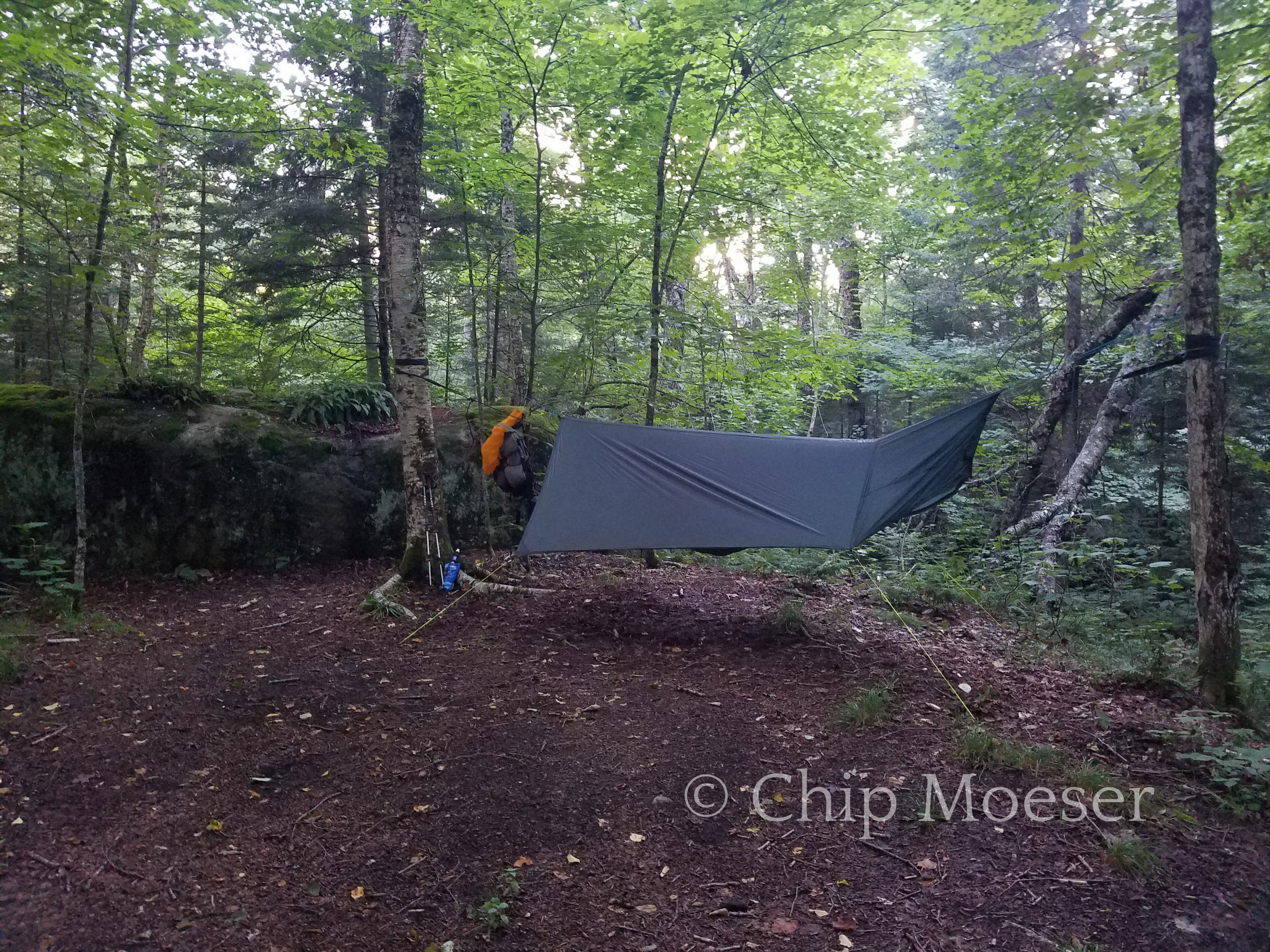
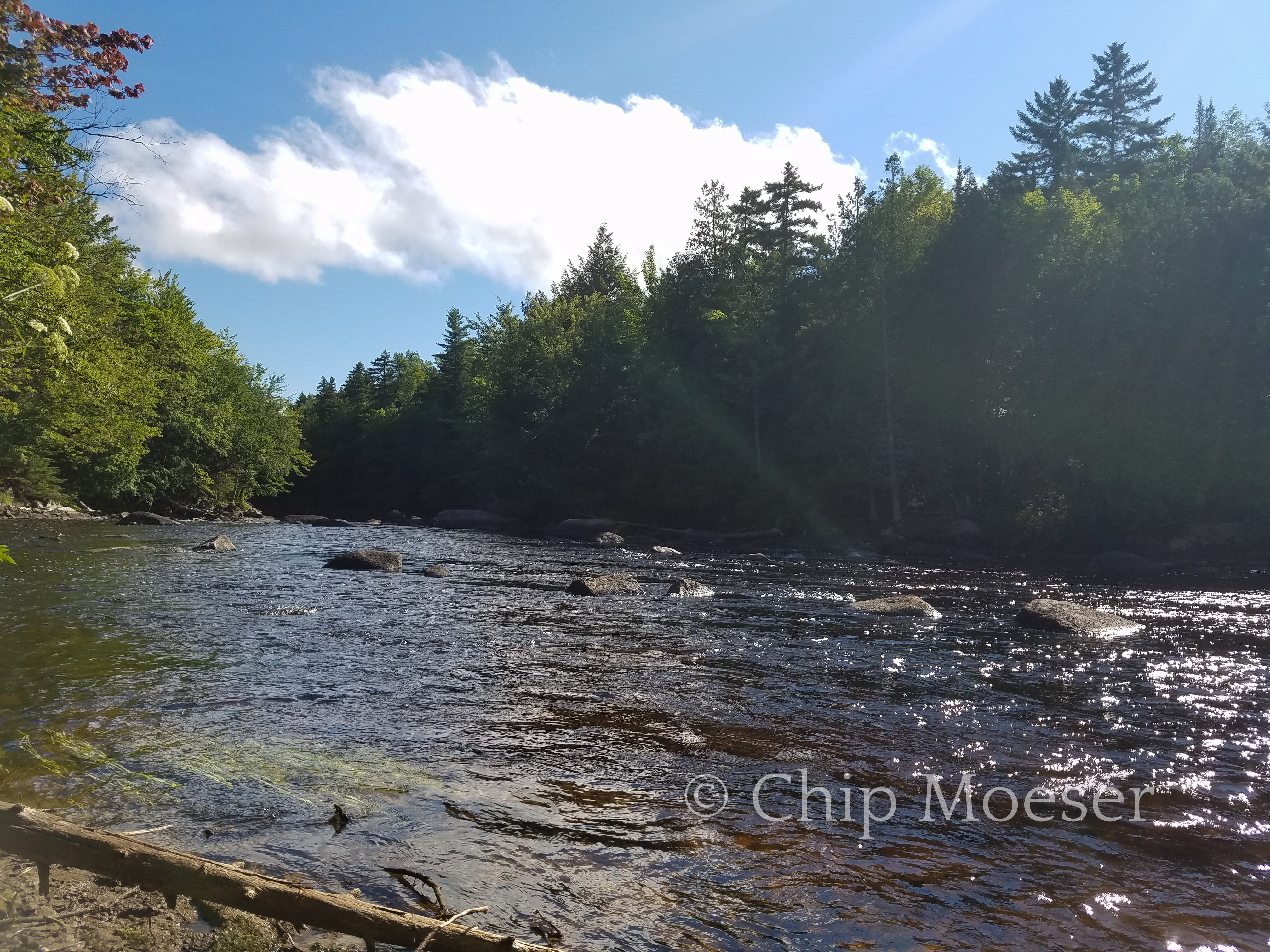
Found a wonderful spot near the Saranac River. After rehydrating I noticed the sky getting darker, so before dinner I set up my hammock. I have to be honest last night I had one of the worst hammock hangs in have ever done in over 50 times or so. The trees I chose were too close together and there wasn’t good clearance on the sides for the rain fly. I hardly slept as I was practically bent in half with my head at my ankles much of the night. So tonight I took extra care to get a good, no perfect hang tonight. Pictures below 🙂
Daisy Dooookes!Hammock hang with my new Jacks R Better underquiltHammock hang back viewBeside the Saranac River